HikeLemmon

On the Landscape of the Santa Catalina Mountains

Peck Basin and Araster Spring via the Knagge 'Route' - 2014/3/12

Created by Charles Miles on 3/15/2014.

For several years I have looked down into the Peck Basin Area and wondered what was down there... I suppose that the easiest way to get into that area is via the Davis Spring Trailhead on the north side of the Mountain - but part of my fascination with Peck Basin is a curiosity about a trail that seems to be disappearing back into the mountain: the Knagge Trail...

I was dropped off at the bottom of the Incinerator Ridge Road, walked up to the Trailhead and soon enough I was headed down the Knagge Trail, familiar territory and notably easier to follow than it was last September with the plants along the trail brown and flat.

2014 March Near the top Knagge Trail at the end of Winter
2014 March Near the top Knagge Trail at the end of Winter: With the plants along the trail mostly brown and flat the trail was easier to follow than in September of last year. Charles Miles. 3/12/2014.

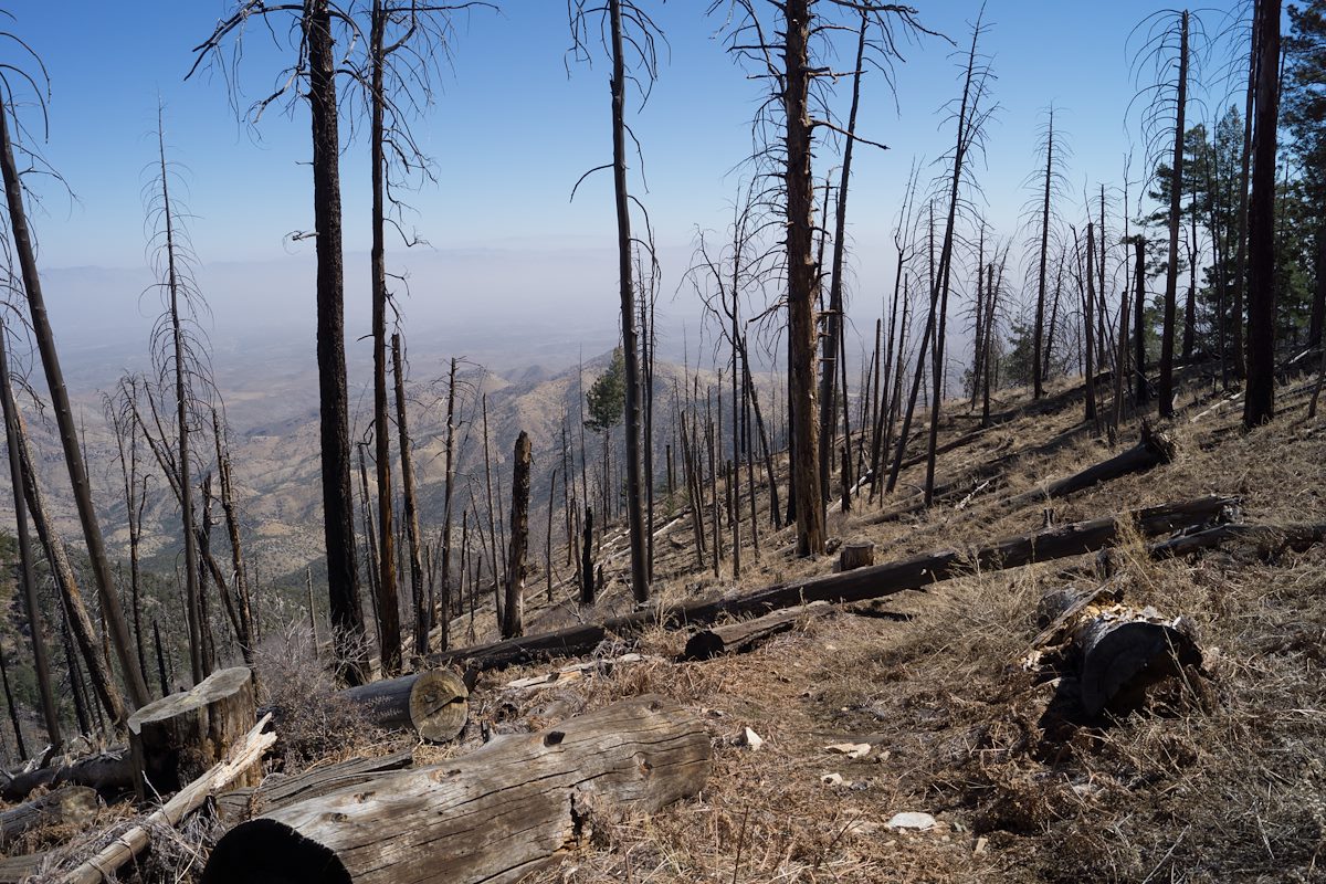
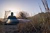
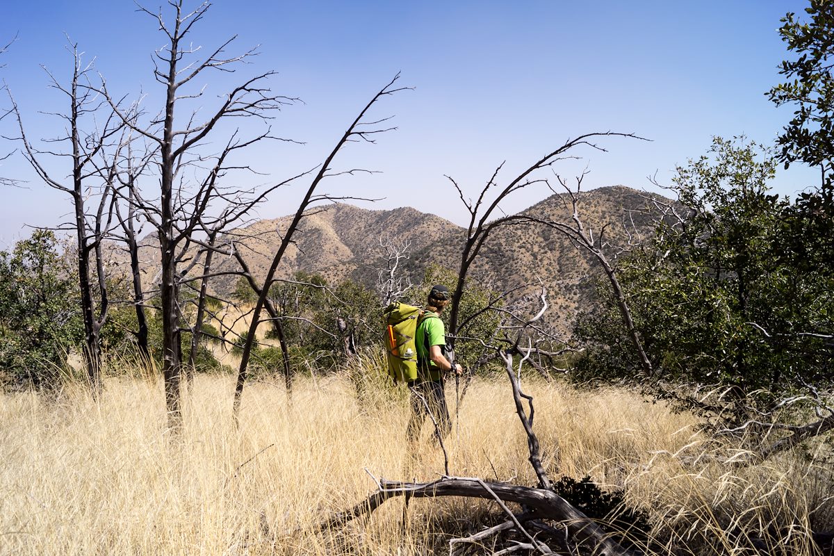
The Cabin, the mine and the current end of the well established trail all come quickly - and then off onto the ridge below. Unlike my last trip I don't use any time trying to find the original trail - instead I just work on finding the easiest way down the ridge - an occasional cairn, faint paths that look for a second like a trail, brushy puzzles, beautiful open grassy sections, views down into my destination...

2014 March Open Grassy Area on the Ridge below the Knagge Trail
2014 March Open Grassy Area on the Ridge below the Knagge Trail: The ridge below the Knagge Trail has some lovely open grassy sections. Charles Miles. 3/12/2014.

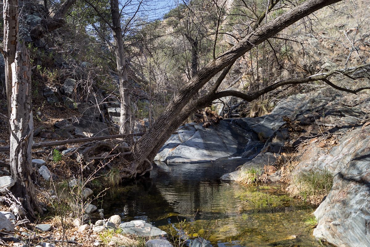
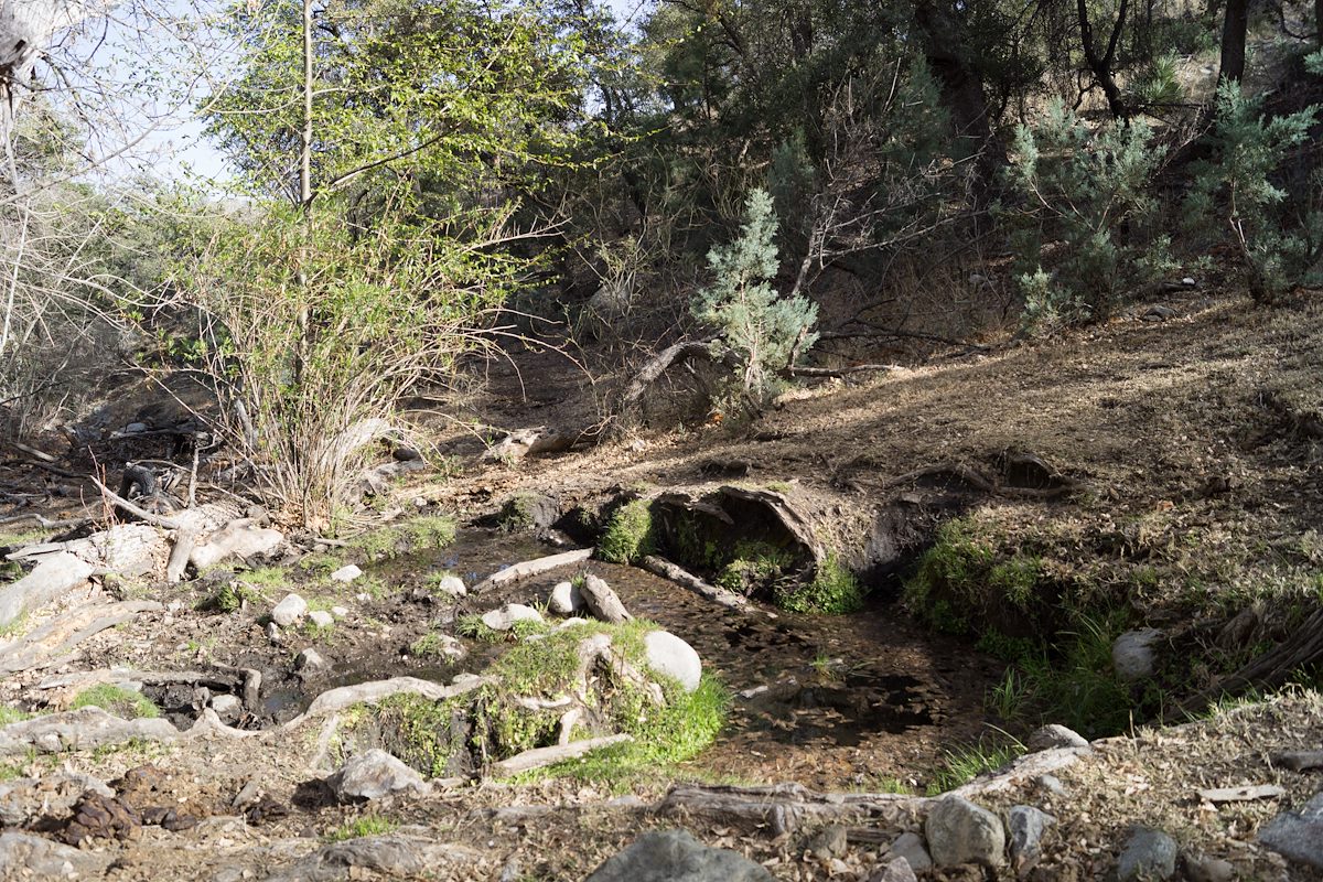
I am counting on water in the South Fork of Edgar Canyon and the canyon does not disappoint - clear rushing water!

2014 March Water in the South Fork of Edgar Canyon
2014 March Water in the South Fork of Edgar Canyon: Signs of cows extended some way up the canyon, but eventually disappeared leaving the South Fork of Edgar one of the most beautiful places from this trip. Charles Miles. 3/13/2014.

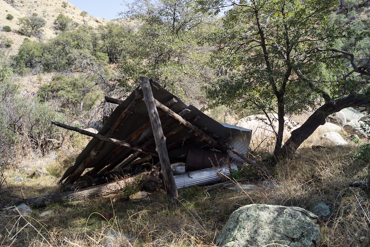
I work down canyon trying to find the easiest path - up around a box, past an old shelter, thru a fence - here I see the first signs of the cows who live in this area...

2014 March Fallen Shelter along the South Fork of Edgar Canyon
2014 March Fallen Shelter along the South Fork of Edgar Canyon: I believe this old shelter is mentioned in the Cowgill and Glendening guide - although I think it may be in different condition now... it had an old barbed wire fence around and the fence line went up the hill. On the way back I didn't see this shelter - I was not looking hard and took a different route, but I think it is a little harder to see than the picture shows... Charles Miles. 3/12/2014.

I cut out of the canyon, over the ridge and into the drainage with Araster Spring and Peck Basin (this canyon is referred to as Edgar Canyon in the Cowgill and Glendening guide but the USGS 7.5' Map labels the canyon to the south as Edgar Canyon...). I see more cows on the ridge above and follow their tracks and dung up canyon to Araster Spring and slightly beyond. Araster Spring is beautiful but slightly trampled.

2014 March Araster Spring
2014 March Araster Spring: Nearly covered by leaves - there was quite a bit of water and, underneath the leaves, it looked quite clear - certainly used by the cows. Note that in on the USGS Maps this canyon does not have a name - in the Cowgill and Glendening guide this is called Edgar Canyon (which is one drainage south on the USGS Maps). Charles Miles. 3/12/2014.

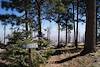
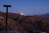
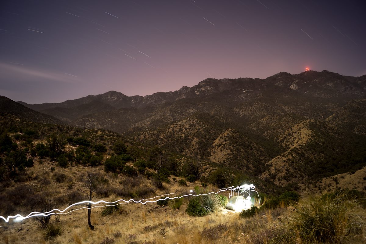
Originally I had planned to camp here but the cows have made this area a bit less attractive than I imagined - I loop via hillside and ridge up to Point 4863 to spend the night - on the way stumbling across the Knagge and Davis Spring Trail junction sign! I find a good spot near Point 4863 - I only have to move one cow patty to setup where I want - and enjoy the view of the ridge I came from (with the blazing lights of Mount Bigelow) and the day's journey!

2014 March Camping above Edgar Canyon with the Lights of Mount Bigelow in the Background
2014 March Camping above Edgar Canyon with the Lights of Mount Bigelow in the Background: It might have been more practical to camp a little closer to the water but it was a great view! Charles Miles. 3/12/2014.

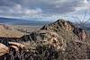
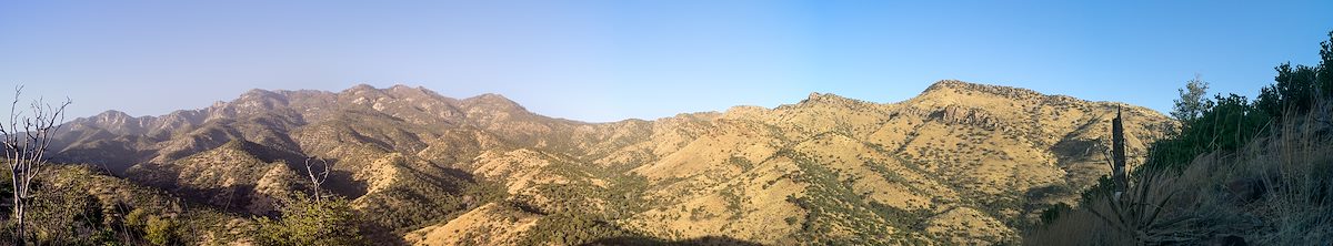
I get moving a little slowly in the AM - lingering to enjoy the view -

2014 March View from Point 4863
2014 March View from Point 4863: Great view! On the far left you can see the ridge the the Knagge Route takes, Edgar Canyon and the Araster Spring Canyon are also both visible - on the skyline Green Mountain, Barnum, Leopold Point, Kellogg, Mount Bigelow and the great ridge north of Edgar! Charles Miles. 3/13/2014.

And then up up up up back to the Upper Green Mountain Trailhead to meet my ride down! 13 miles and about 4000' of elevation gain and loss.


Tags:
Posts Before/After: