SunZia News
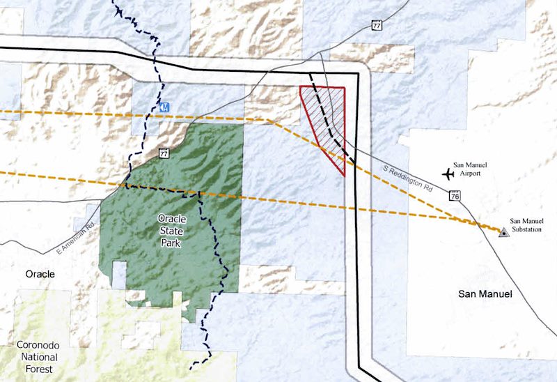
The proximity of SunZia's route to the San Manuel Ray Blair Airport triggered an FAA review of the project resulted in several notable changes - the proposed route of the line now runs closer to Oracle State Park, lines in the area will be required to have marker balls and 21 of the towers will have lights on top. A string of glowing lights in the San Pedro River Valley would be a disappointing addition - I am unsure about the impact to the views from Oracle State Park but this is a particularly unwelcome addition considering the International Dark Sky Park designation that Oracle State Park has achieved. This change has not yet been officially approved so there is some hope that a better solution might be found. The Arizona Corporation Commission eDocket for SunZia has documents related to this proposed change including comments from the Friends of Oracle State Park and Cascabel Working Group.
In July of 2018 the New Mexico Public Regulation Commission issued a Recommended Decision that denied SunZia's request for location approval. After several months of additional filings, motions and responses that decision was upheld in a Final Order issued in September 2018. The request was denied 'without prejudice' so it is just a matter of time before SunZia submits this request again.
In October of 2018 the New Mexico Public Regulation Commission approved the location of Pattern Development's Corona Wind Projects which allows construction to begin on an estimated 950 wind turbines. The projects - Duran Mesa, Cowboy Mesa, Red Cloud, Tecolote, Ancho and Viento Loco - are located in Lincoln, Torrance and Guadalupe counties in east-central NM. The project includes a 140 mile transmission line project that will connect this project with SunZia so that the generated energy can be sold to western states. Pattern Energy announced that purchase agreements have been made with Silicon Valley Clean Energy and Monterey Bay Community Power in California. A Utility Dive article indicates that Pattern Energy will be working with SunZia on the resubmittal of their application to the New Mexico Public Regulation Commission.
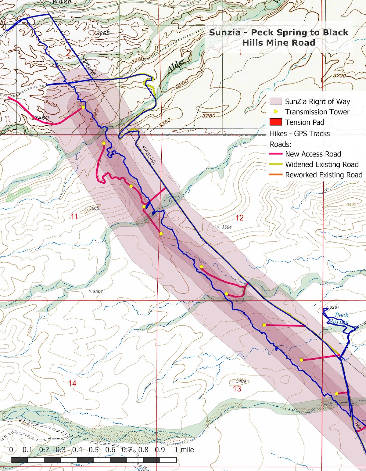
North - Davis Mesa Road to Peck Spring - Summer
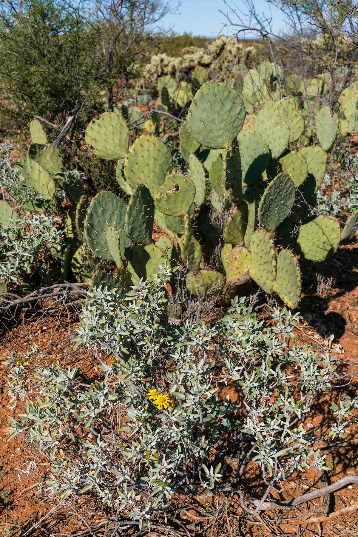
Wandering cross-country thru the saguaros has a rhythm, a shape - step forward step forward; --- pause --- look; step to the side, squeeze thru, step forward step forward... Sometimes your path doubles back on itself and starts again - sometimes it curves with the landscape - never steady, never straight, infinite variations on a theme.
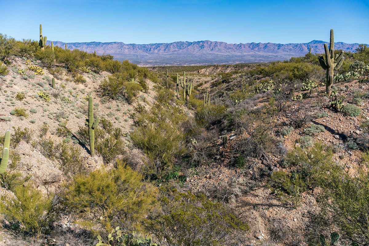
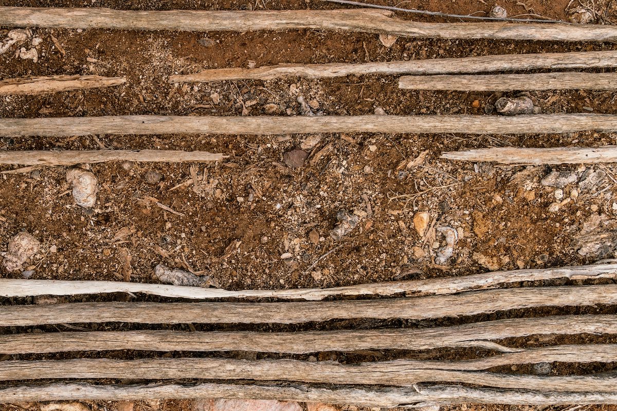
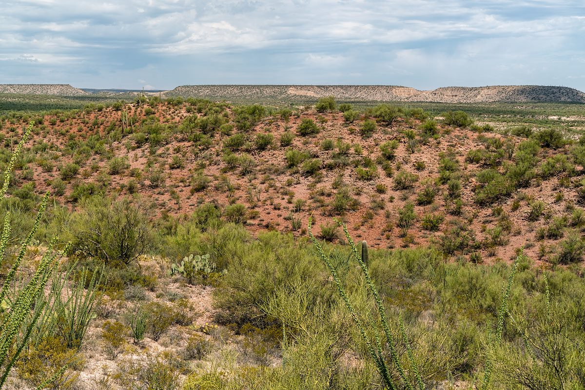
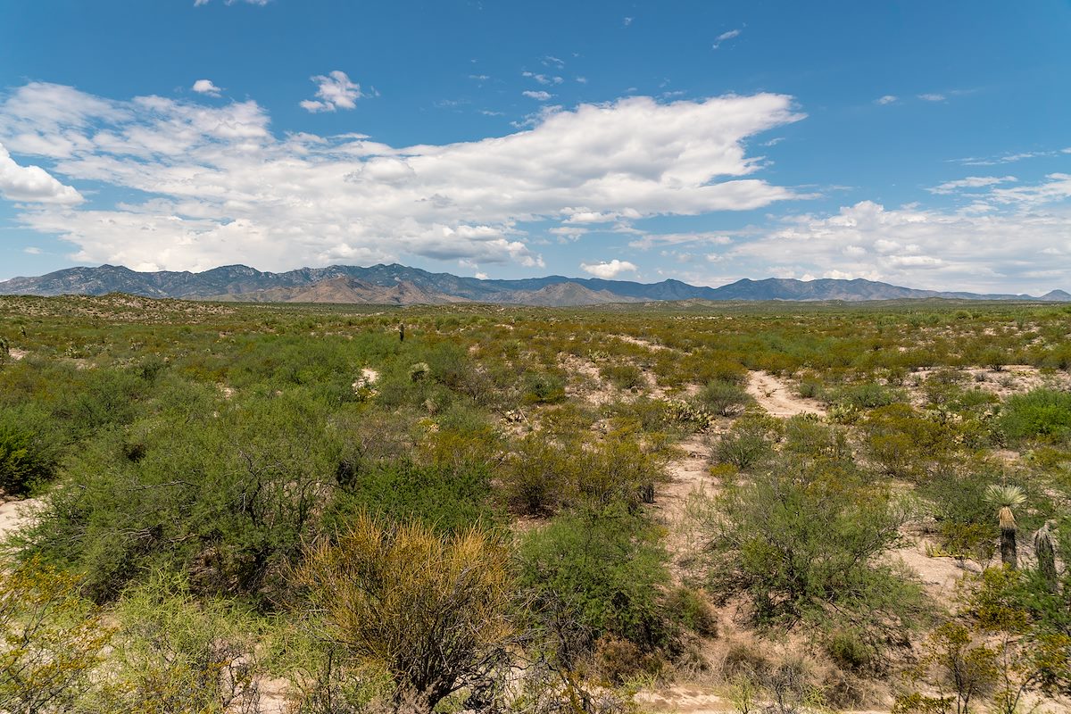
North of Edgar Canyon and the Davis Mesa road the SunZia Transmission heads north - white hills, red hills and down into flatter terrain before turning to the northwest to parallel the existing gas line. Previous section that I hiked had deep canyons - substantial vertical gains and losses - SunZia's route is obviously a straight line on the map, but the experience of trying to follow it across broken terrain really didn't bring to mind straight lines and clean angles. Today is different - a straight line thru this gently rolling desert is alien, infuriating - SunZia's mechanical progression out of place and lacking grace, even the old road towards Peck Spring curves and matches landscape...
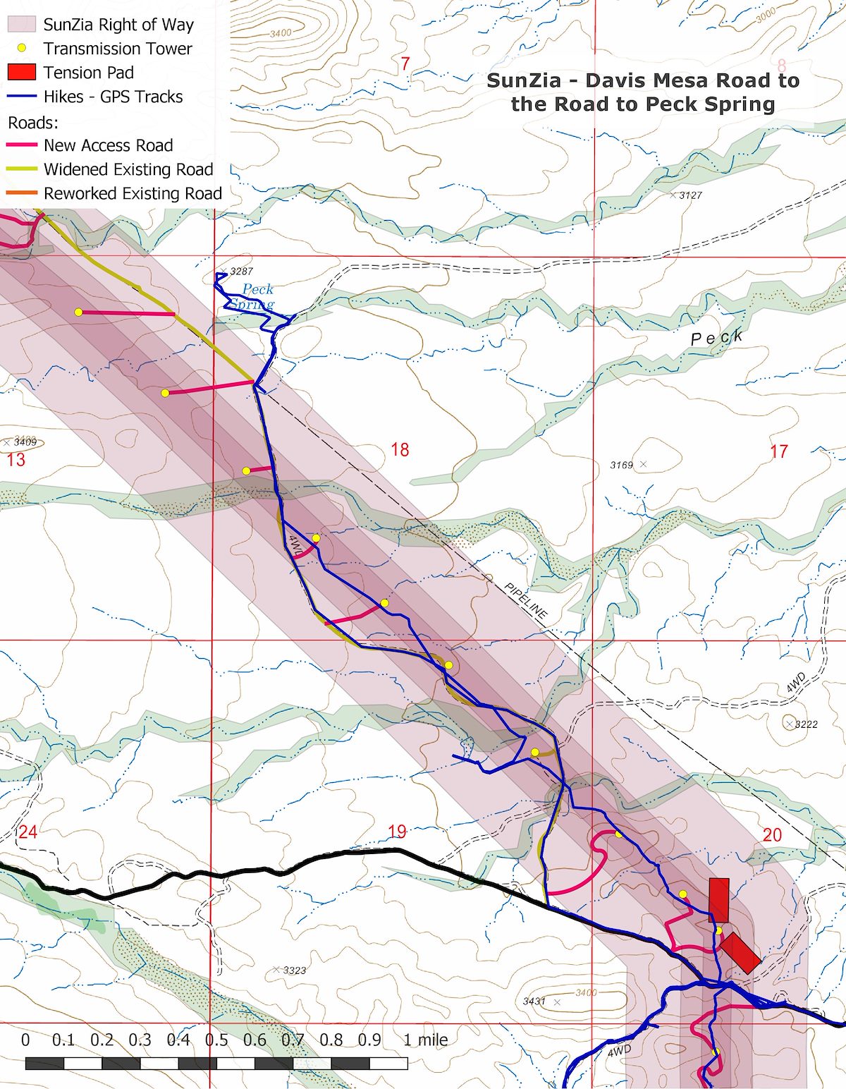
In this short section there will be 7 towers, 2 tension pads and 5 new access roads - it is nice to turn away and make the short walk to the Peck Spring area.
Interlude - Peck Spring
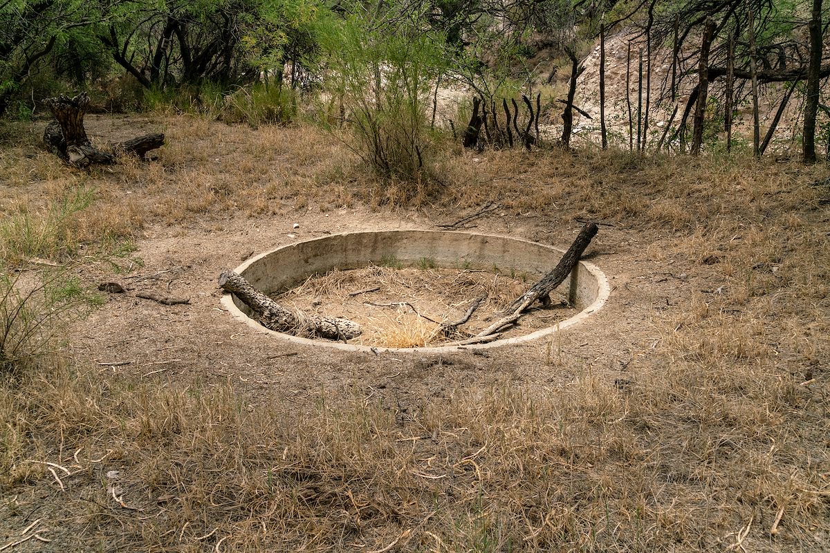
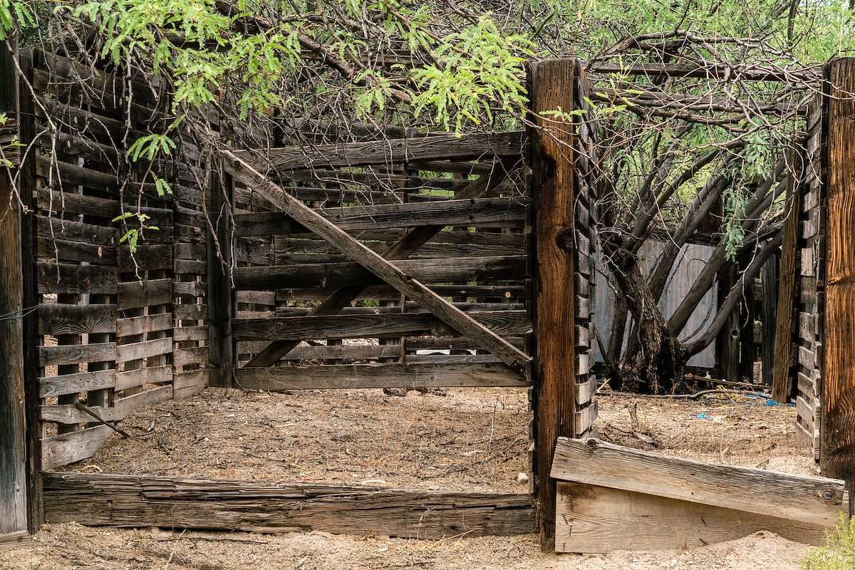
The name 'Peck' predates Arizona's statehood and surrounded by old fences and corrals I can't help but think about the small bits of history I have learned over the past few years - from Bernard W. Muffley's 1938 History of the Lower San Pedro Valley, pages 29-30:
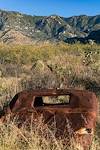
In 1885 the Bayless and Berkalew Company purchased the homesteads of William and Edward Peck. Near by on a school section they founded a ranch later known as the Sacaton. From this humble beginning the company gradually increased its interests until at one time it comprised 9000 acres of patented land. Starting about the same time, Demitrus Markham built up a large ranch between Sacaton and Reddington. Later, however, this land was acquired by Bayless and Berkalew. The trade of this section of the San Pedro Valley became so important that in the summer of 1885 a road was constructed across Cabadillo Pass into the San Pedro Valley. On this same road Dr. C. H. Davis, brother of W. C. Davis of the San Pedro Valley, was ambushed and killed by the Indians early in June, 1886. Thus the fact is shown that bands of renegade Apaches were still at large.
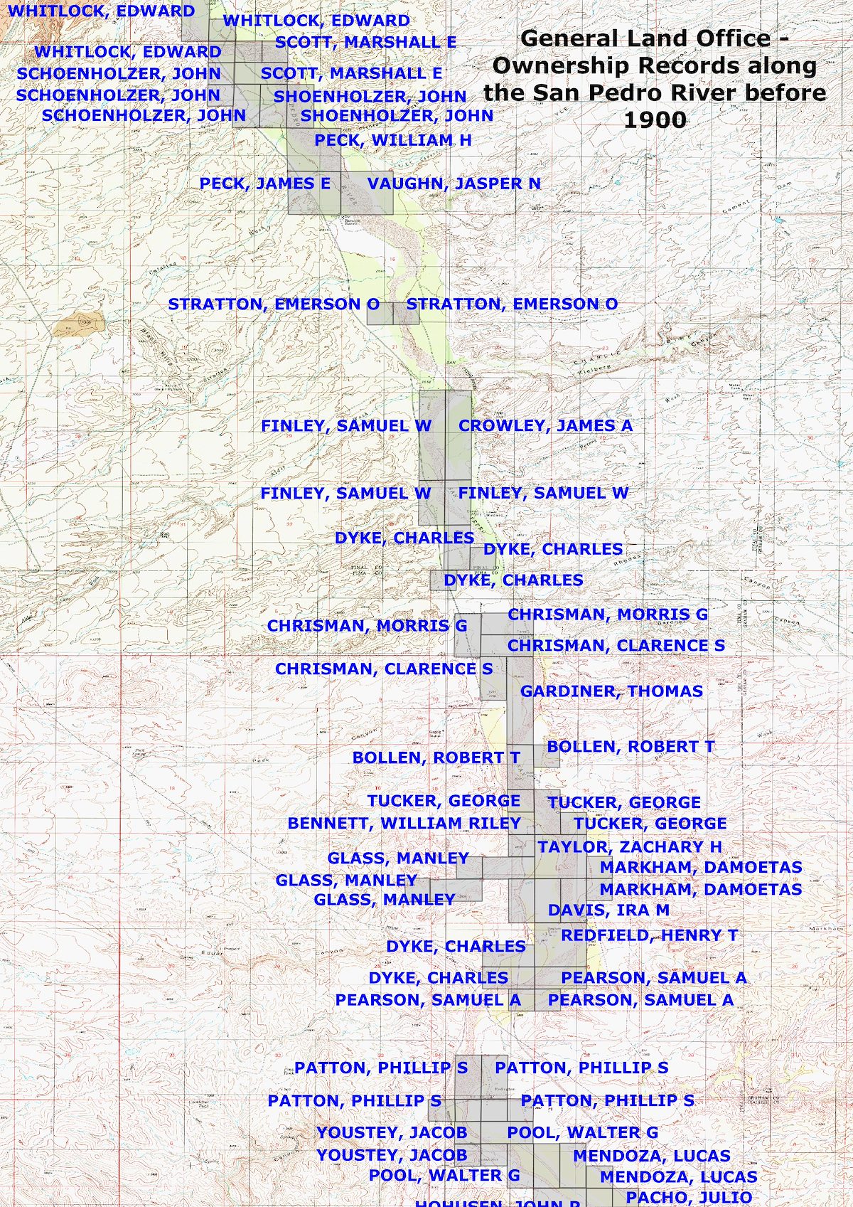
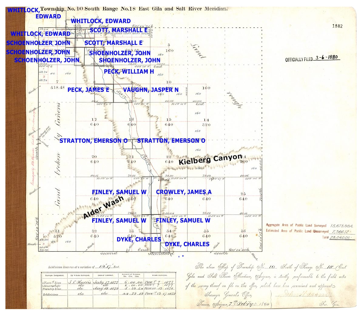
The map below is drawn from the Bureau of Land Management's General Land Office Records and shows land ownership along the San Pedro before 1900. Of course the San Pedro River Valley has been inhabited for thousands of years, in the big picture all the names here represent newcomers - but a number of these names make their way onto present day maps and histories. Whitlock Canyon, Peck Basin, Peck Canyon, Peck Spring, Stratton Canyon (and the very interesting Pioneering in Arizona, The Reminiscences of Emerson Oliver Stratton & Edith Stratton Kitt), Davis Mesa, Redfield Canyon, Bollen Wash, Markham Canyon... Land ownership was concentrated along the river - still somewhat true today - and the original 1880 survey for 10S18E leaves much of the land farther from the river basically blank with labels indicating 'land rough' and 'land broken by canyons'.
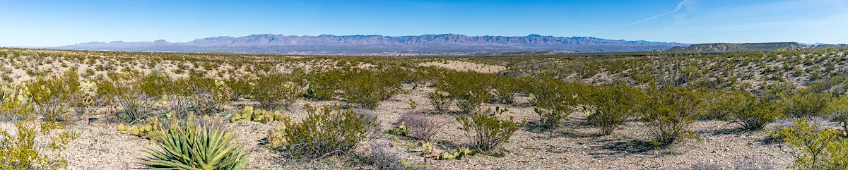
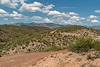
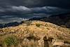
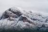
South - Black Hills Mine Road to Peck Canyon - Winter
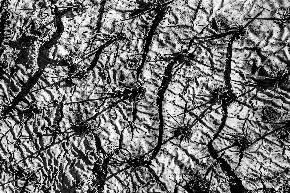
It's been some time since I followed the SunZia route - a break from the heat, a break from thinking about SunZia - but it isn't time to stop and today I head south from Black Hills Mine Road. Rippling hills, alternating white and red soils, views across the valley to the Galiuros... But dominating the day are the cracks in the landscape - steep sided dirt and rock washes, awkward and loose, dry rocks and sand at the bottom - V shaped views down into the valley and across to the Galiuros. Cool winter weather and the occasional feeling of being nowhere - a beautiful day.