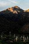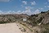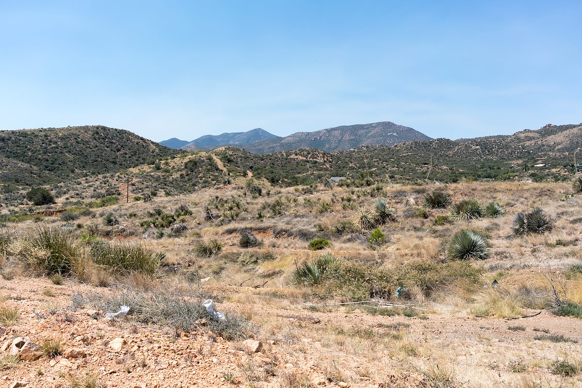
Thru Oracle, onto Mount Lemmon Road, past Oracle State Park and the C.O.D. Ranch is a rough dirt road that leads to the top of Ray Spring Hill. 'Hill' is good description, it is neither particularly high nor steep - but it does have a nice view of the San Pedro River Valley and the Santa Catalina Mountains. Unfortunately the short drive from the highway has probably contributed to the state of the hill - moderately trashed: beer cans, liquor bottles, the odd shell casing, broken glass, a few last pieces of trash cleared out of the back of a truck. The trash takes some of the joy out of visiting this little hill - it needs some love...
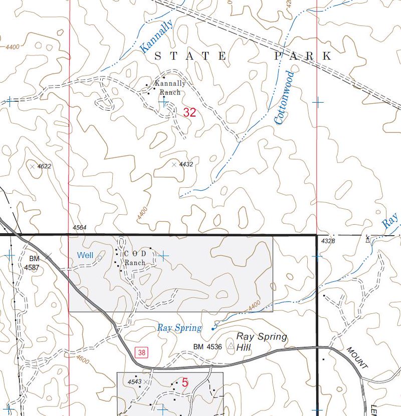
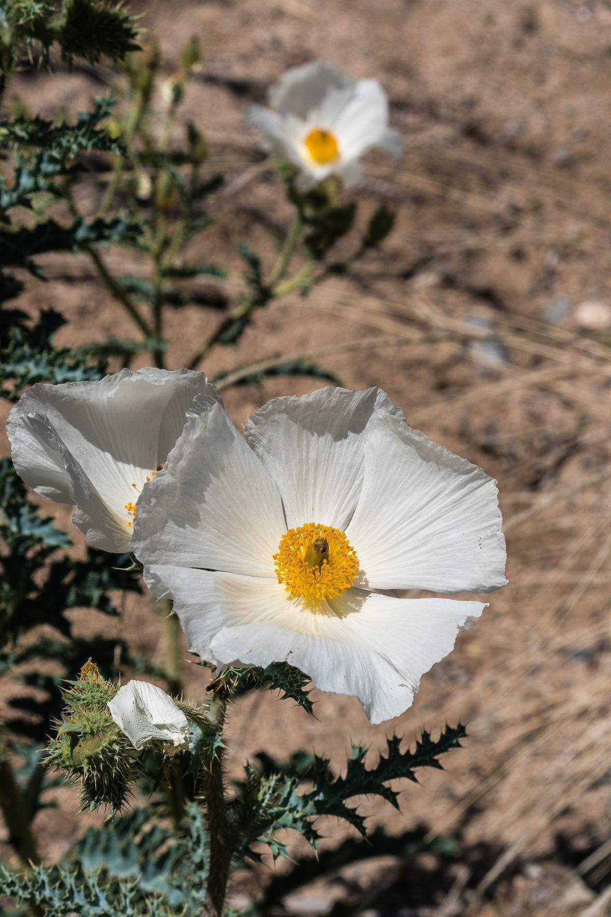
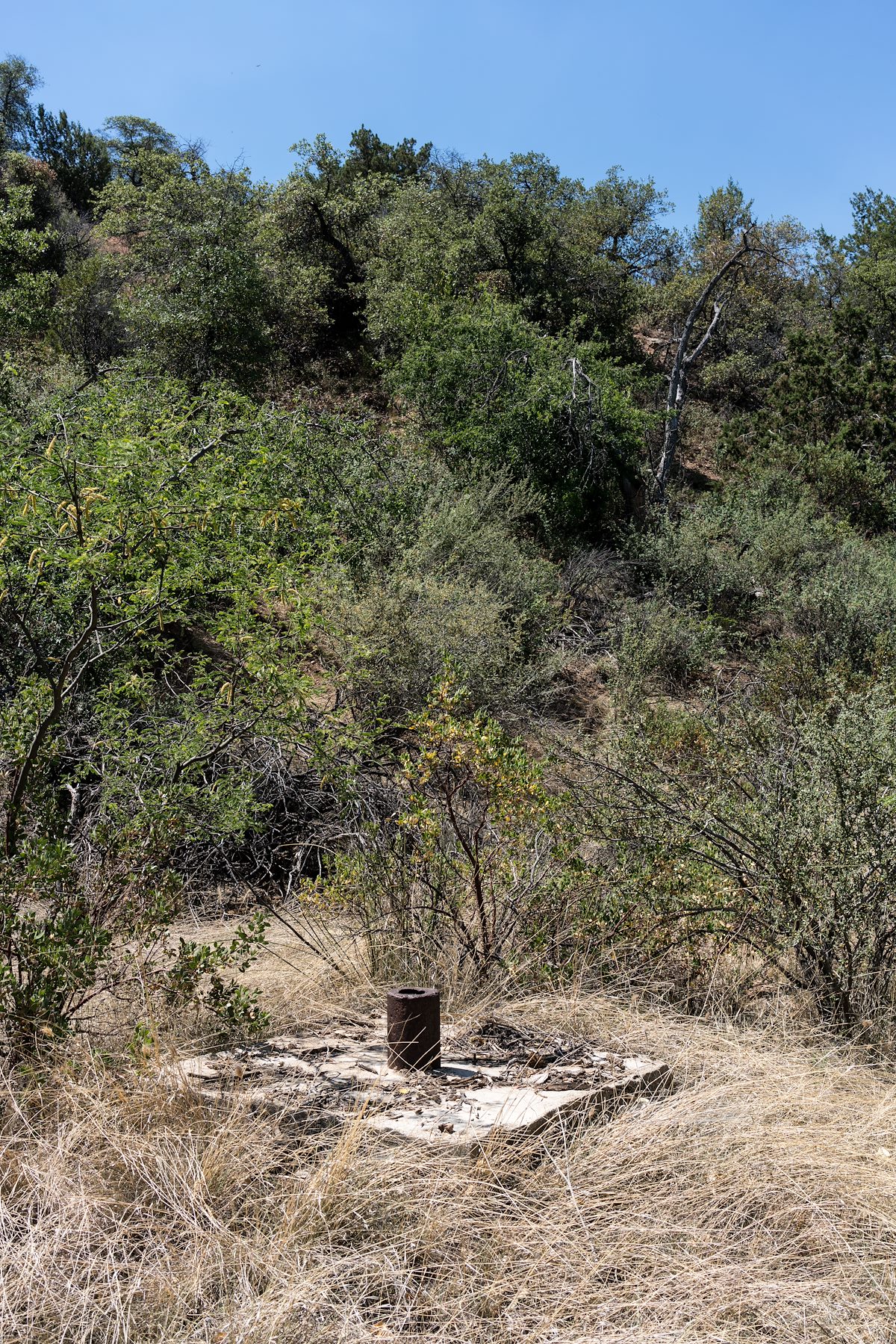
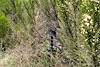
Ray Spring Wash is below the hill to the north - less used than the hill my short walk in the bottom of the wash is a much nicer experience - Fried Eggs, Cholla, Cottonwoods and small path of dry sand eventually lead to what I assume is Ray Spring - a dry but interesting landmark at the head of the wash. Be respectful of land ownership boundaries while exploring in this area - only a small part of Ray Spring Wash is on Forest Service land - private land, State Park Land and State Trust Land all claim parts of the wash...