After visiting the La Milagrosa Trail several times over the past few months and consulting maps of the area I began to wonder why I had never noticed passing the junction with Forest Road 4446 where it turns towards Whitetail Tank, it seems so clear on the map...
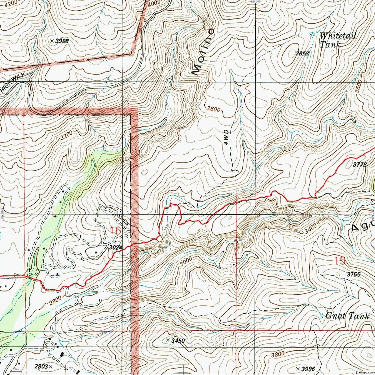
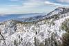
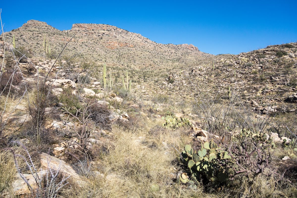
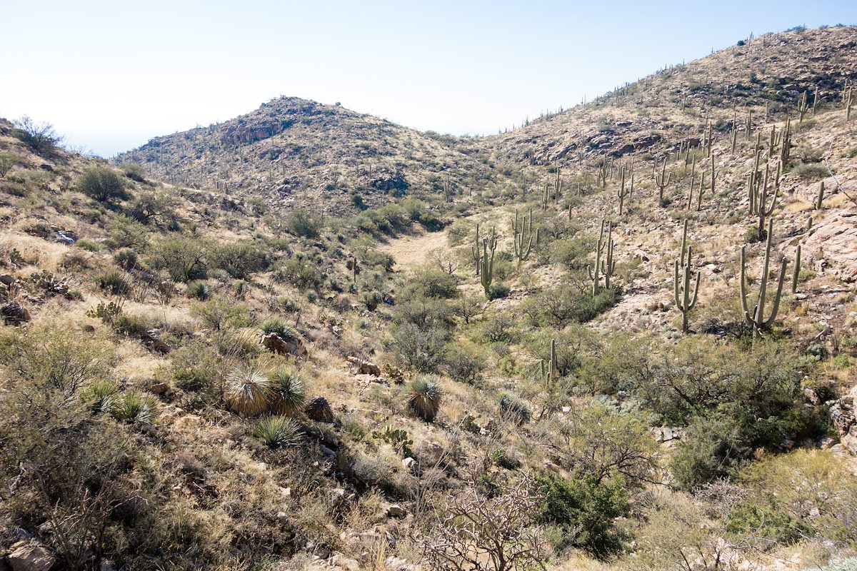
Standing on the Milagrosa Trail looking at (what may be) a faint old grass covered 4wd road I tell myself that on the other side of the canyon FR4446 will be obvious - that it is simply well disguised near the La Milagrosa Trail so that hikers and bikers won't accidentally turn onto it. Unfortunately on the other side of the canyon I actually find even fewer hints of the old road... I watch the GPS and try to follow the line on the map - sometimes directly and sometimes criss-crossing it's path - occasionally finding it, but mostly just looking for it - thankfully the terrain is open enough that it doesn't really matter that the desert seems to have completely reclaimed stretches of the road.
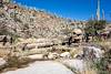
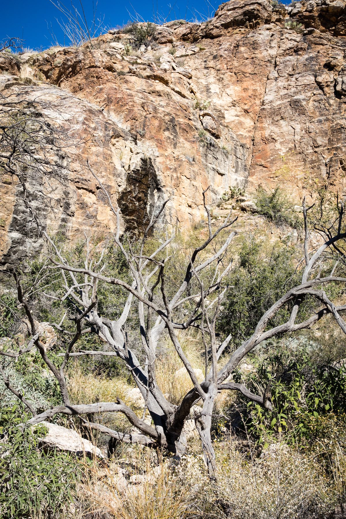
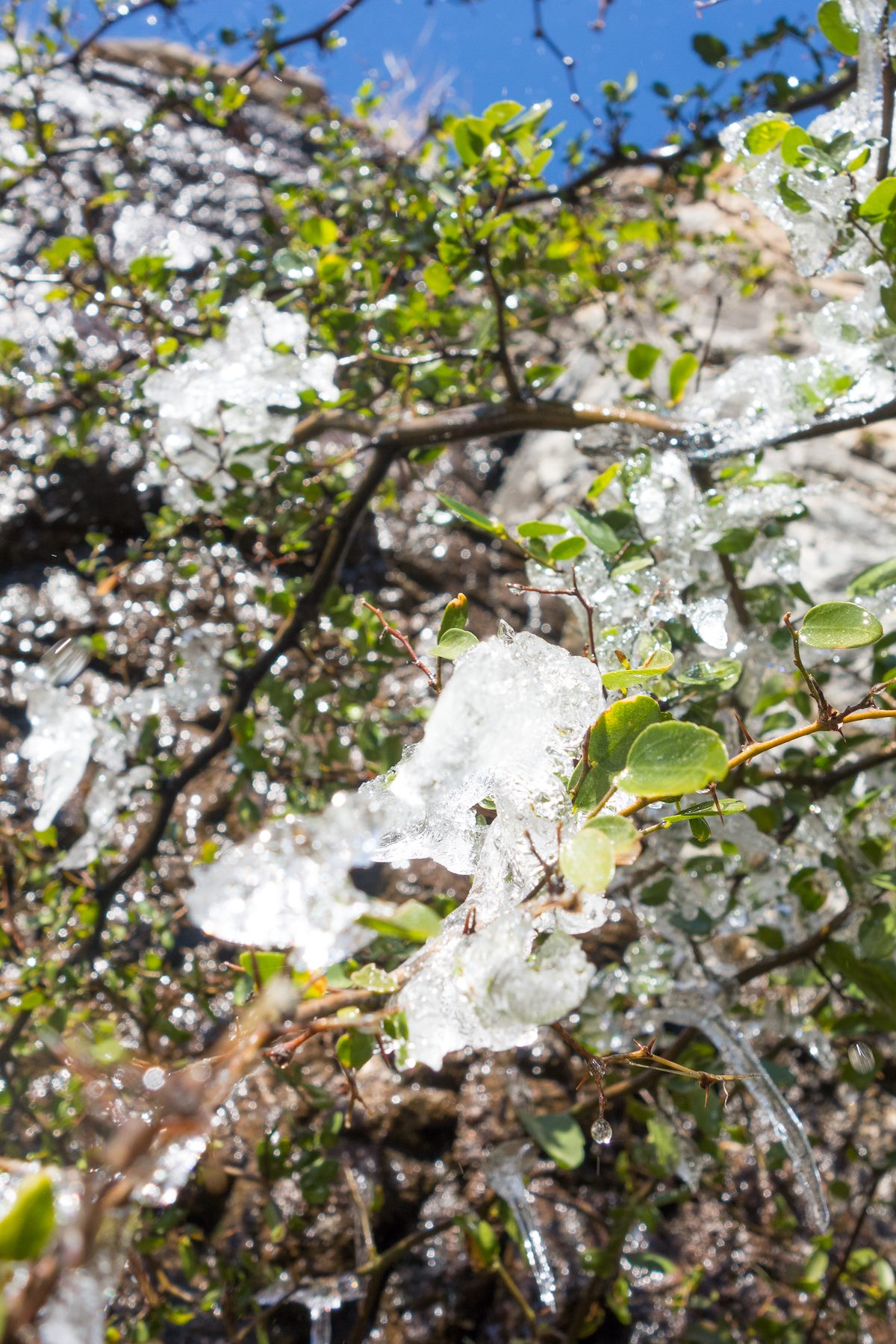
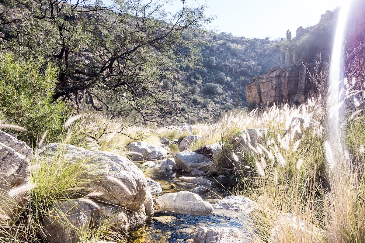
The tank is larger than I expected, dry and covered with short brown grass. Standing in the tank a small cliff catches my eye - a few minutes of walking in the small drainage above the tank and I reach a lovely drip, black and wet, with clumps of ice on the tree below.
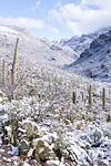
From the base of the cliff I worked up to the ridge above and then down into the canyon below, eventually looping back to the La Milagrosa Trail via a wandering off-trail route.
Whitetail Tank from the [link slug="avenida-de-suzenu-trailhead"/] - one-way - is approximately 2.8 miles with 1,100' of elevation gain - maps show FR4446 as a 4WD road but don't expect to find much of the road and certainly don't count on it for navigation, take a map and plan on using it - this is essentially an off-trail hike.