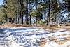
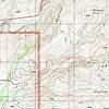
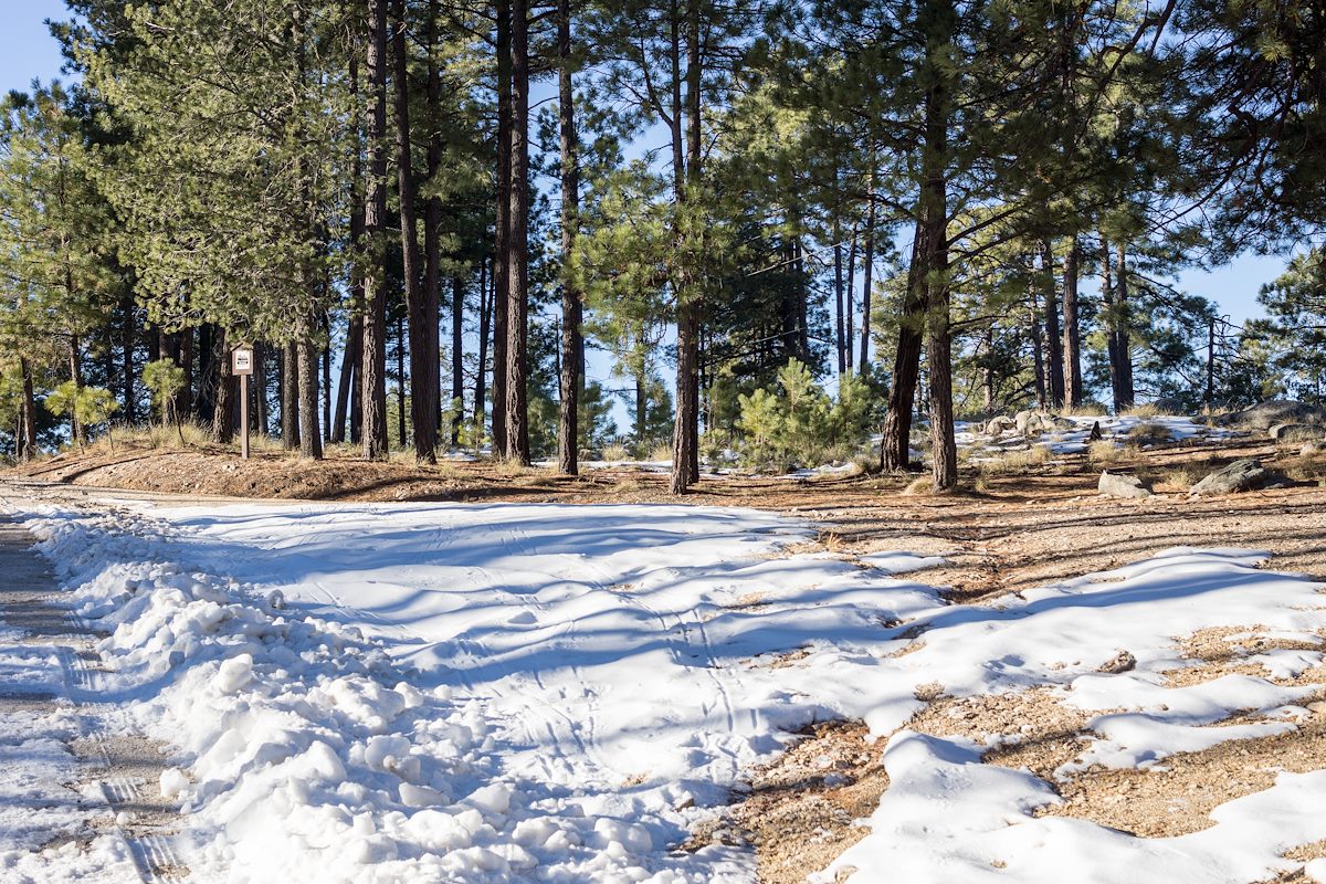
We started at the [link slug="bigelow-trailhead"/], walked past the gate that closes Organization Ridge Road to public motorized traffic in the winter and continued on to the [link slug="palisade-trailhead"/]. The road was icy and there was just enough snow at the trailhead to give a pleasant hint of winter, but not enough to require anything other than a little caution.
We could hear Palisade Canyon flowing below - it looked like quite a bit of water from the trail - walked snowy sections of [link slug="palisade-trail"/] where the shade preserved the remains of the last storm, paused for birds and enjoyed the polished stone in Pine Canyon before reaching Mud Spring.
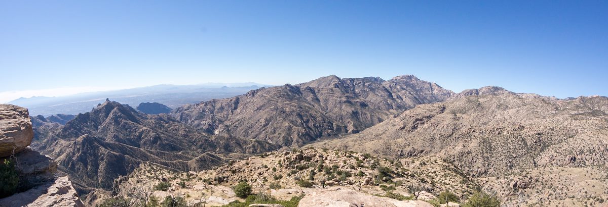
The waterfall in Pine Canyon was roaring away - quite a sight - and we paused just before the trail begins to plunge downwards to enjoy the view - Thimble Peak to [link slug="brinkley-point"/]!
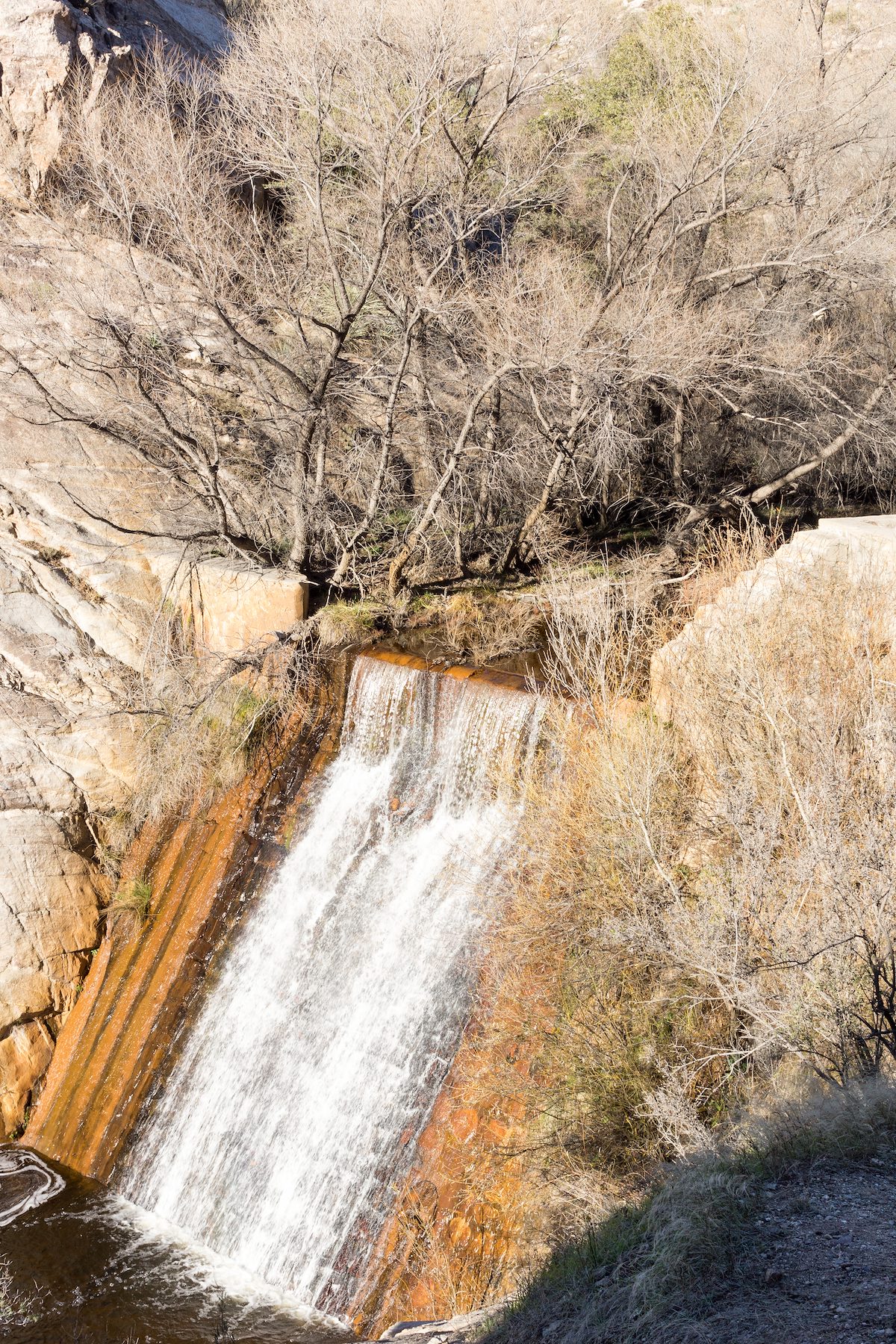
Down to the junction with the [link slug="east-fork-trail"/] and then up - past the Bear Canyon Trail and onto the [link slug="bear-canyon-trail"/], across Sycamore Canyon, past Sycamore Reservoir where Sycamore Canyon and Bear Canyon were pouring an impressive amount of water over the dam, up to Shreve Saddle and then down the [link slug="molino-basin-trail"/] to the car we had left at the [link slug="gordon-hirabayashi-recreation-site"/] earlier in the day.
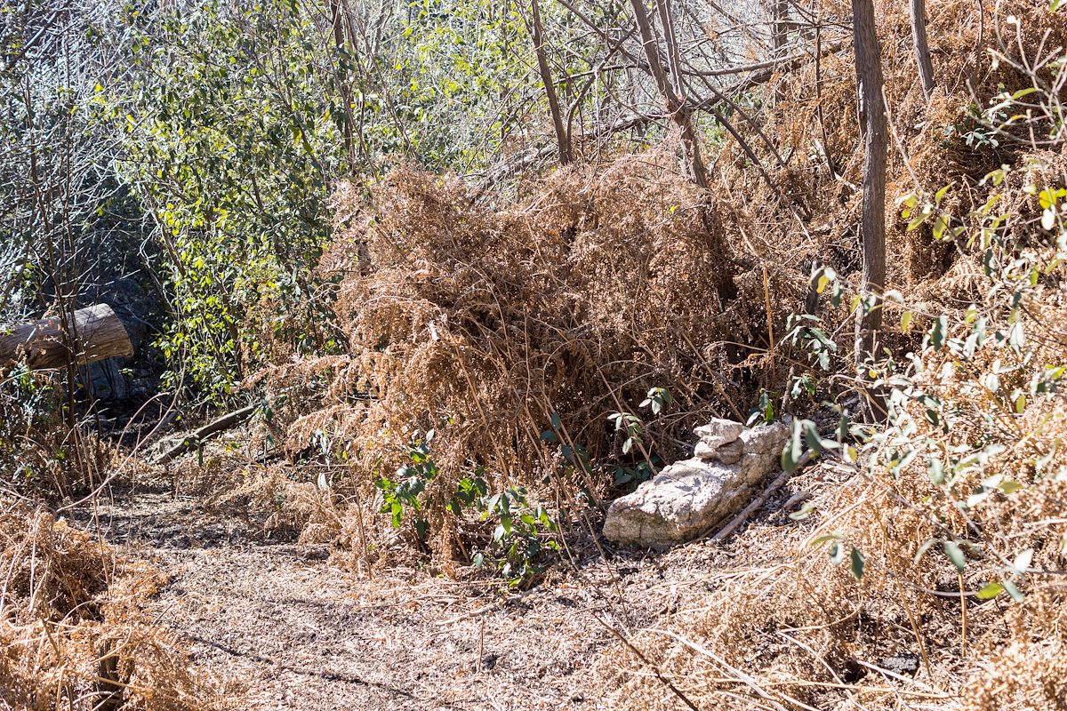
Descending the [link slug="palisade-trail"/] is a great way to see everything from pine forest to cactus and take in quite a few impressive views. Currently miles 4-6 of the [link slug="palisade-trail"/] are distinctly more overgrown and less used than the upper sections of the trail - with some attention and effort you should be able to find the trail, but be prepared to use your map and navigate if needed.
12.8 miles, +1,400'/-4,350' of elevation gain/loss.