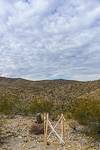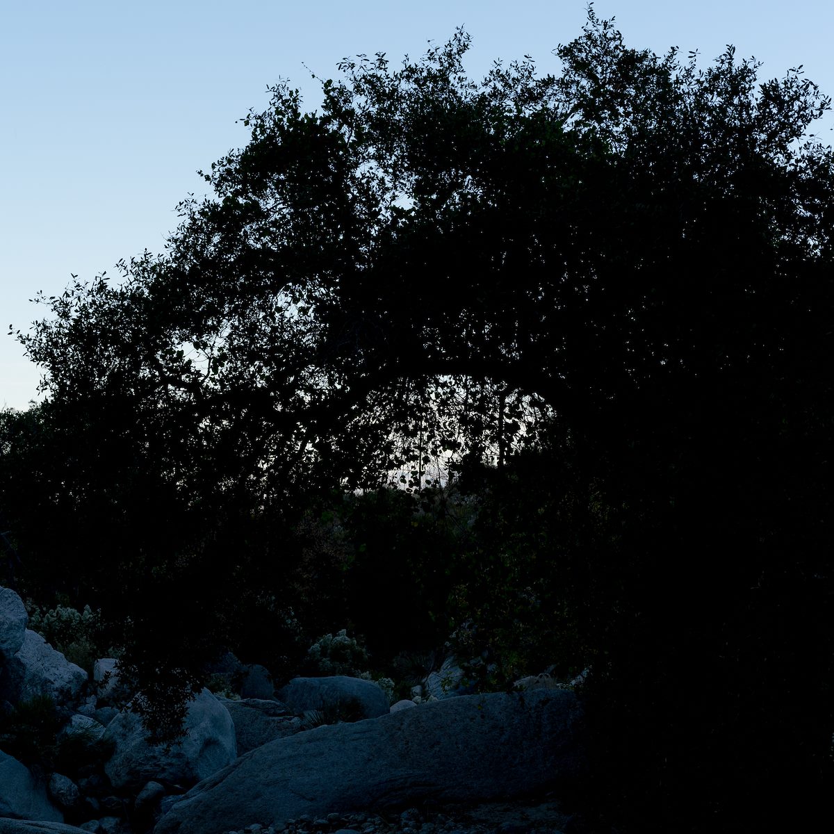
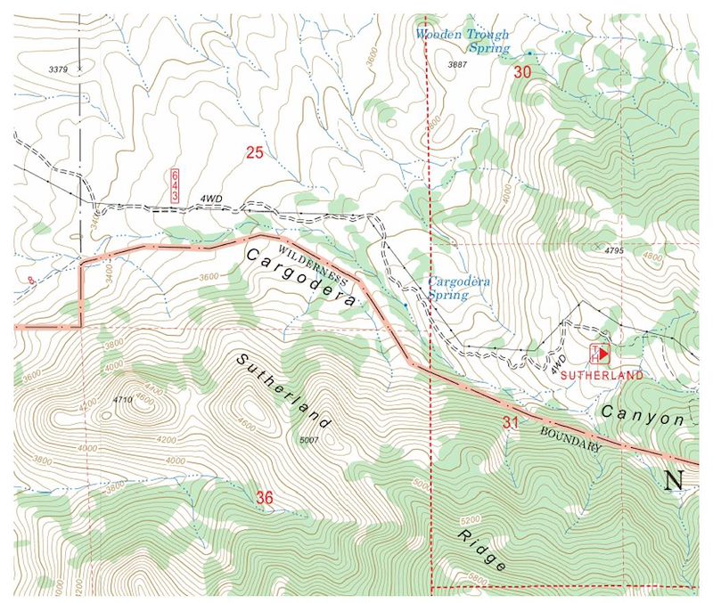
Thanksgiving - I am standing in the spot marked as Cargodera Spring - a tree hangs over the canyon, there are deer tracks in the sand and a hazy white stain reveals where a bird perched above the canyon floor - we have already worked up and down canyon from this spot, there are water stains everywhere, but nowhere surface water or signs of Cargodera Spring.
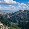
It is really no surprise that we don't find the spring - topo maps are always best considered beautiful works of historical fiction, often correct, current, and recognizable enough that it is easy to forget that they are frozen in time while the details of the real world constantly change - any blue marking on a map of the Santa Catalina Mountains is suspicious at best...
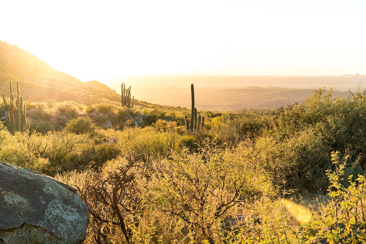
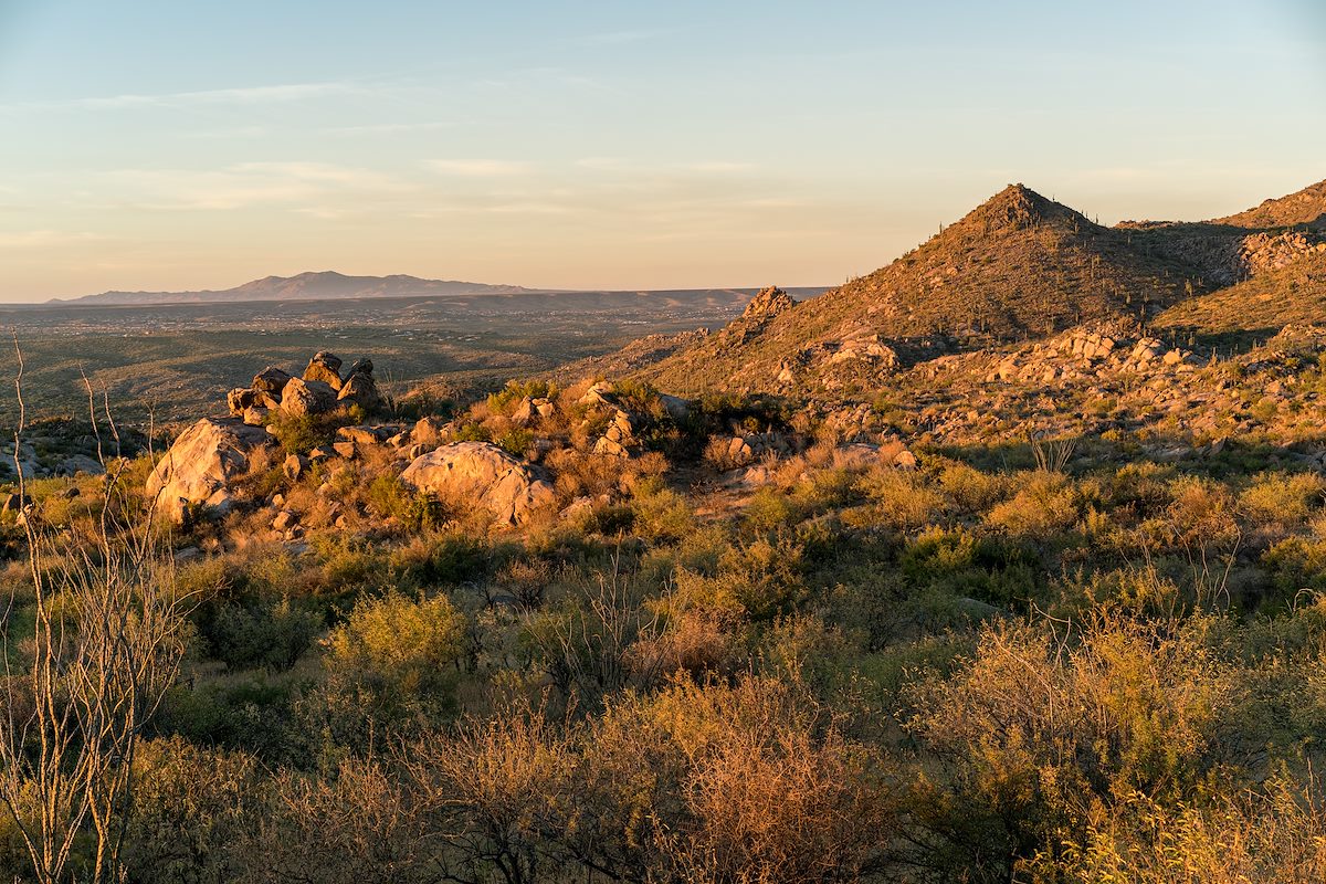
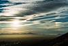
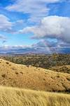
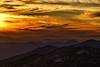
We watch a single Coati work up canyon standing still until his tall tail disappears - after one last glance for the spring we hike back to the Sutherland Trail and enjoy the sunset on the way out.