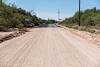
In the early 20th century the Brush Corral area on the east side of the Santa Catalina Mountains featured a Ranger Station with a 3 room adobe building and a telephone connection up to Mount Lemmon. Today the area is just another indistinct flat along Buehman Canyon... Forest Road 4407 (Brush Corral Road) still allows high-clearance access into the area from Redington Road near the San Pedro River - but I would guess that the area saw more visitors in the the 1910s/1920s than it sees today.
I am not sure when the Forest Service began using Brush Corral on the east side of the Santa Catalina Mountains. It is absent from the 1904 Tucson topographic map and with a number of ranches and other Ranger Stations noted its omission seems notable. Jim Westfall - hired by the Forest Service in 1906 - and his wife Leeta were early residents, spending winters at Brush Corral after working on the mountain during the spring, summer and fall. Newspaper articles from 1911 and 1912 mention Brush Corral because it was on the route of a phone line being built from Tucson to Soldier Camp, down to Brush Corral and south to the Spud Rock Ranger Station in the Rincons. In a 1964 Arizona Daily Star article by Pete Cowgill Gilbert Sykes, a Forest Service employee after WWI, says "Brush Corral was used more as a camp with a guard stationed there two or three months of the year. The guard would work on grazing permits, timber sales and, of course, watch out for fires. But it was not a permanent ranger station like the one located, but not now used either, at Oracle". The same article mentions that the cabin - possibly built about 1913 - was sold around 1925 and the timber removed.
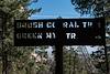
Our ride dropped us at the [link slug="upper-green-mountain-trailhead"/], our destination was a vehicle we had dropped on FR4407 the previous day - it had been hours of driving to drop a vehicle, but it made our hike much simpler - no need to worry about the time needed to climb back up the mountain, carry overnight gear or make an uncomfortably hot walk out on Redington Road.
The Brush Corral Trail was described in the first three editions of the [GuideYellowBook/] as "fair to very poor" and, after extensive work by the Southern Arizona Hiking Club in the late 1980s, was upgraded to "fair to good" in the 1990s. But those descriptions are pre-2002-Bulllock Fire... There are two notable posts online about this trail from after the Bullock Fire - Scott Morris's 'Brush Corral Epic' from 2004 and Sirena Dufault's 'Brush Corral Trail' from 2010. We knew from those posts, and a hike I made in 2013, that it would probably be difficult, or impossible, to find all of the trail - our planning left a comfortable amount of time for traveling at an off-trail-didn't-pick-the-best-way-thru-the-manzanita-are-we-on-the-right-ridge kind of pace...
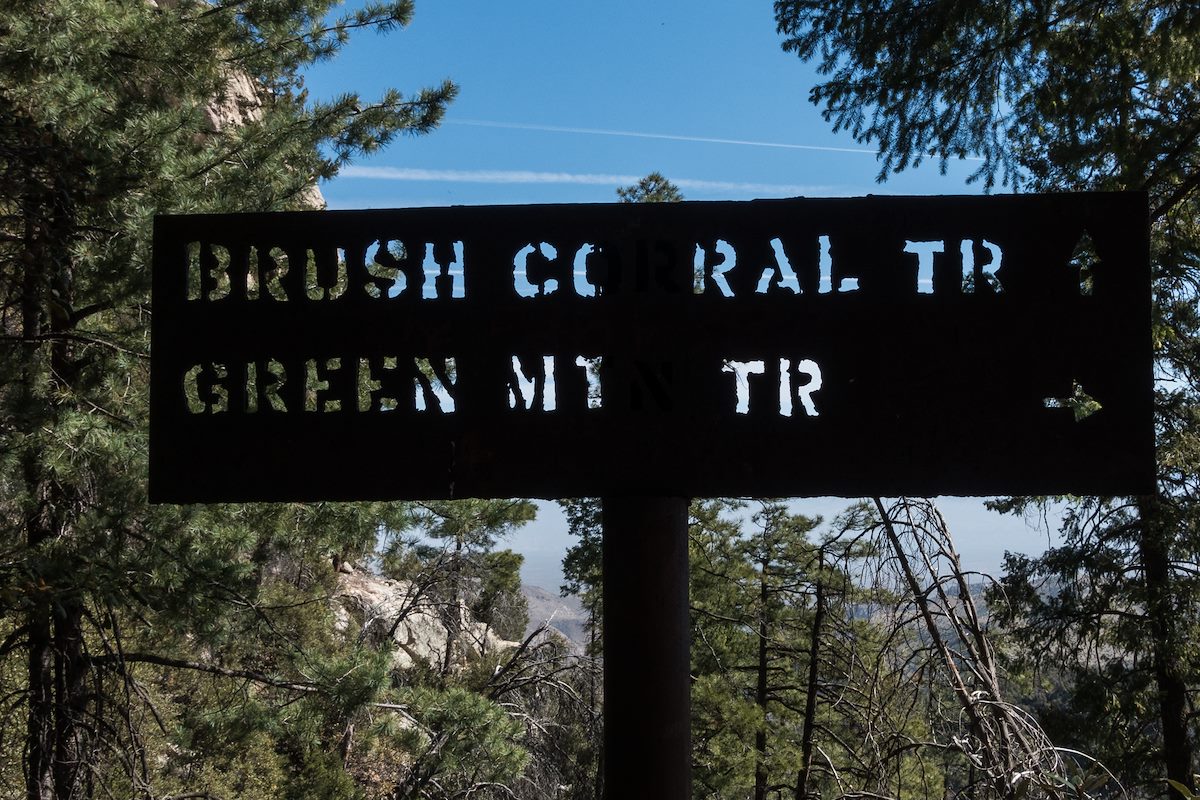
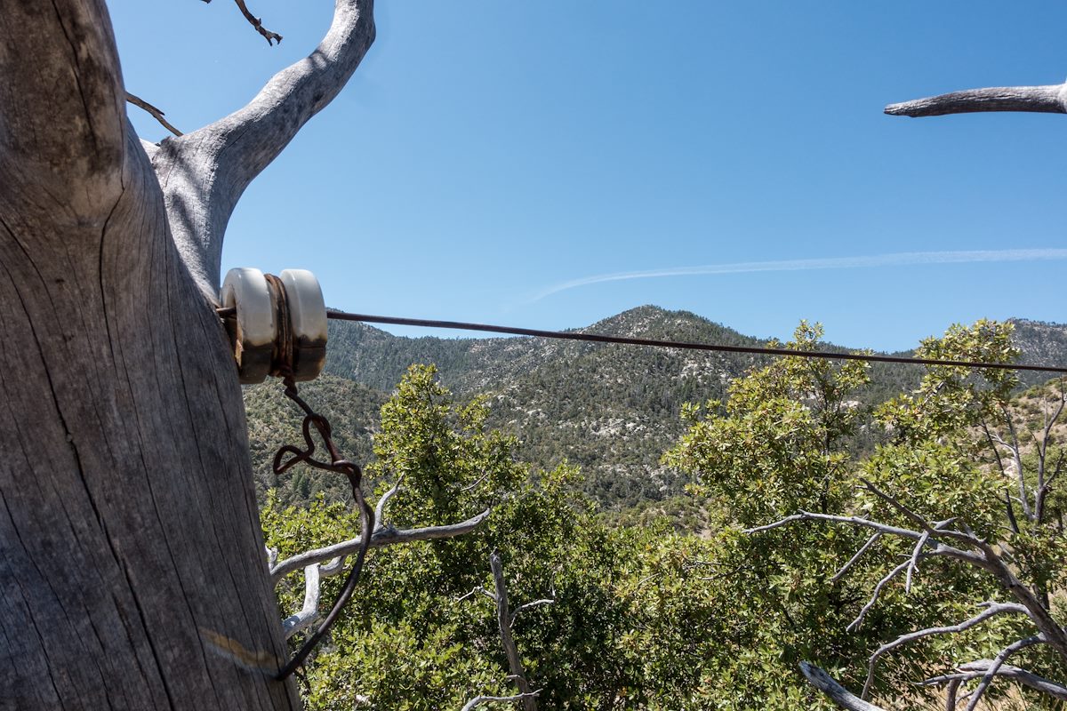
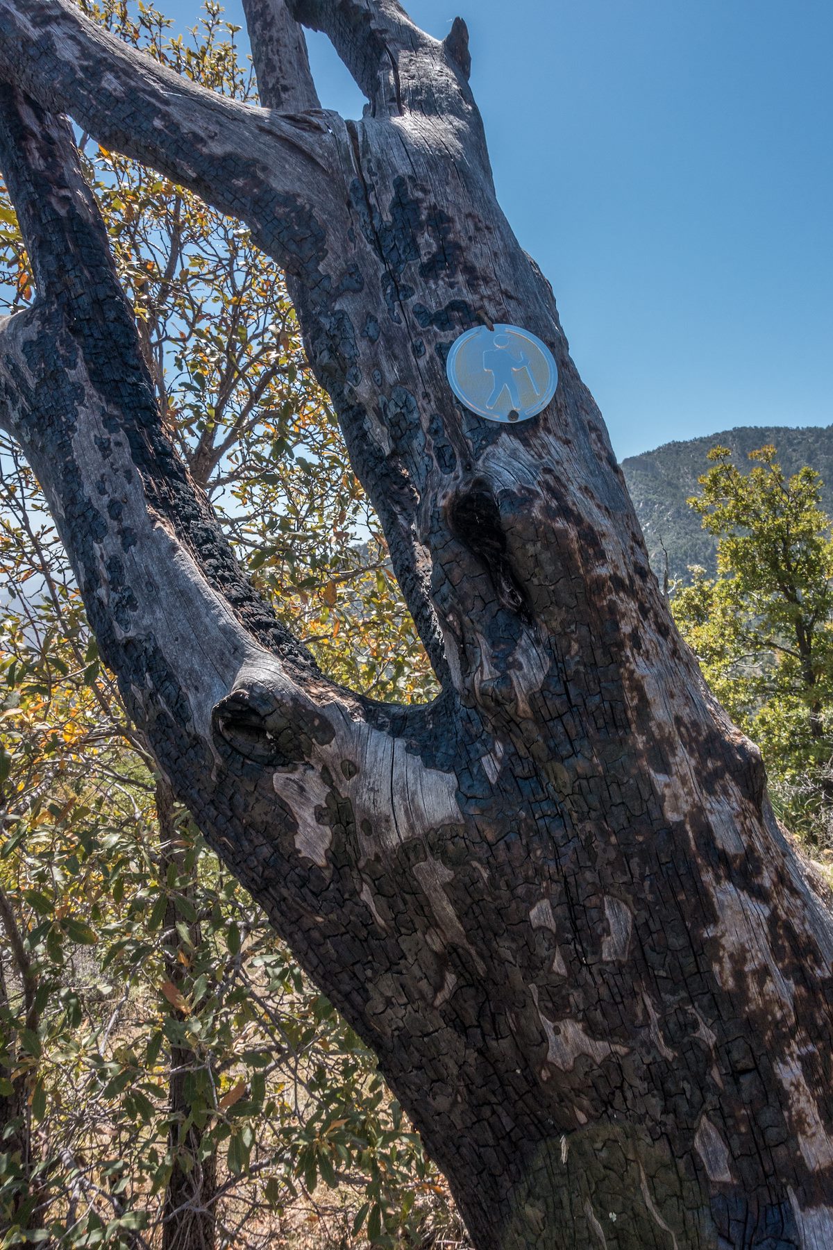
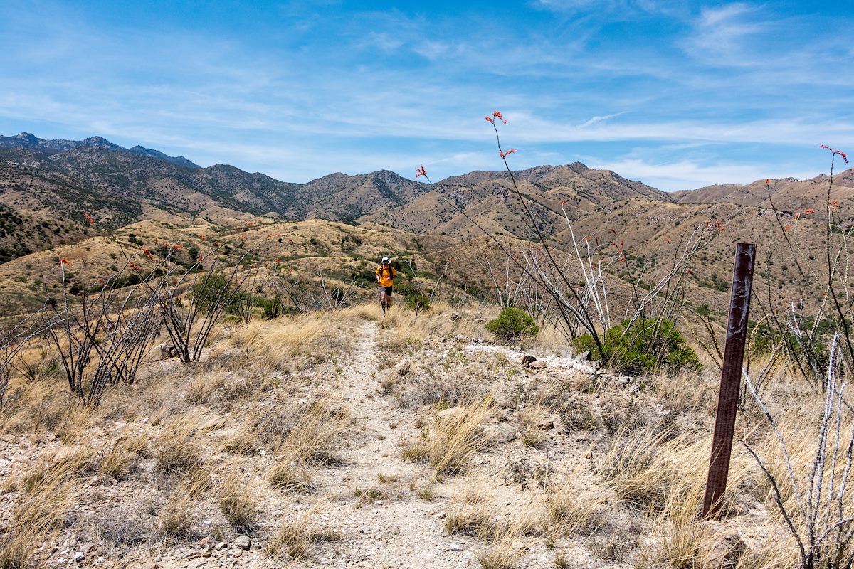
We quickly reached the Brush Corral Trail's junction with the [link slug="green-mountain-trail"/] and started the descent to the junction with the [link slug="brush-corral-shortcut-trail"/] - this section of trail is still in decent condition and is easy to follow. Below the junction with the [link slug="brush-corral-shortcut-trail"/] the trail immediately becomes overgrown and interrupted by fallen trees, but it was still easy to follow until - at an old metal trail marker - the trail emerged from the trees and became an off-trail 'route'.
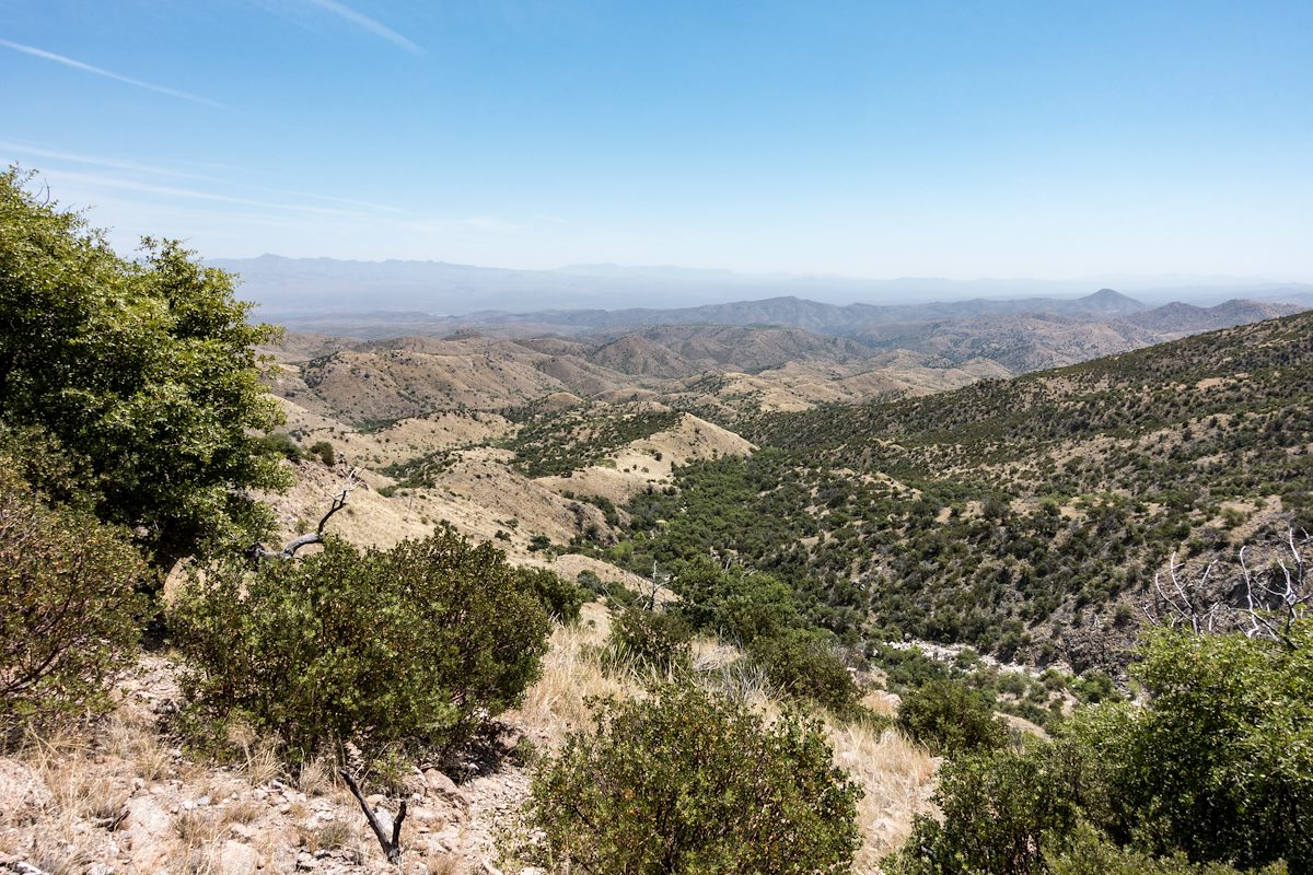
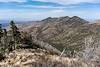
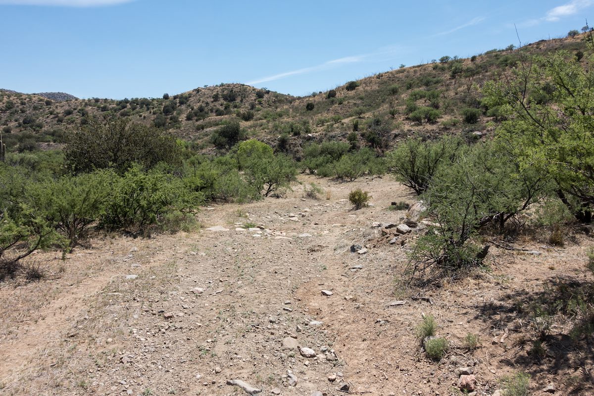
We found stretches of the old trail, and cairns sometimes helped us stay on course - but in sections we just wandered across the ridges, perhaps we could have found more of the old trail but the terrain was not particularly difficult off-trail walking and rather than hunt for the old track it seemed more interesting to just keep moving forward.
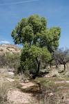
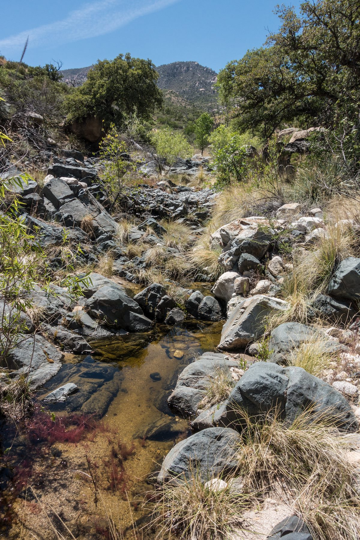
The biggest surprise of the hike may have been finding water when we crossed a small canyon - we had planned on the route being dry and it was nice surprise to find water to soak my shirt and hat with - we were thousands of feet lower than when we started and it was getting hot, the edge of the season for this part of the mountain I think.

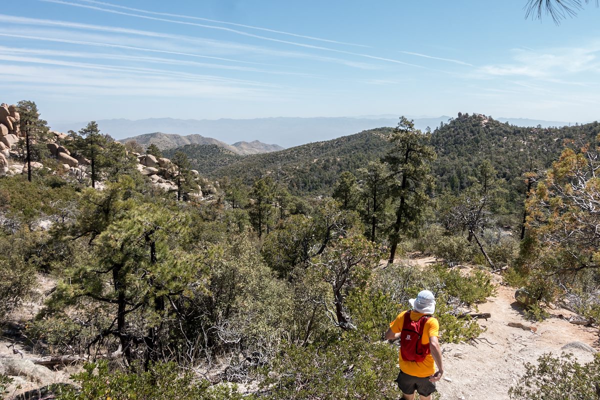
From the crossing we quickly found the brown trail markers mentioned in other reports and the trail became relatively easy to follow thru the grass and across the ridges. We took advantage of the good trail and ran the final mile+ down to the Brush Corral site before making the hike up the road back to our ride home.
Newspaper articles that reference the Brush Corral Trail that I used for this post:
- Arizona Daily Star, 8/24/1911, p. 5, Forestry Will Have Its Own Telephones
- Arizona Daily Star, 10/10/1912, p. 8, Brevities
- Arizona Daily Star, 11/6/1912, p. 8, Telephones Arrive For Mt. Lemmon Line
- Arizona Daily Star, 12/6/1912, p. 8, Government Installs New Telephones
- Arizona Daily Star, 3/22/1964, p 55, Pete Cowgill, Hike Up To Brush Corral Is For Experienced Hikers
- Arizona Daily Star, 11/8/1984, p. 51, Pete Cowgill, Old Ranger Station is Just a Memory
- Arizona Daily Star, 11/17, 1989, p. 41, Pete Cowgill, Hiking club dug in for Brush Corral Trail