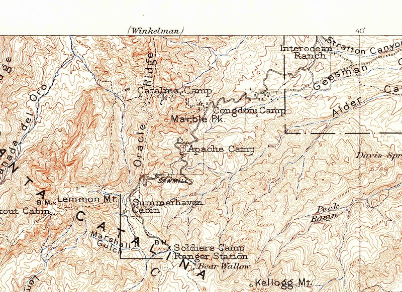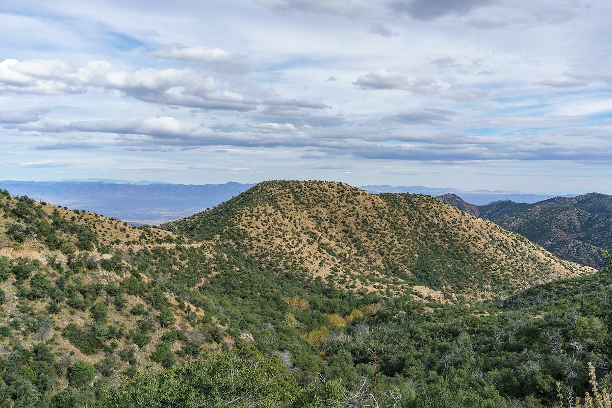
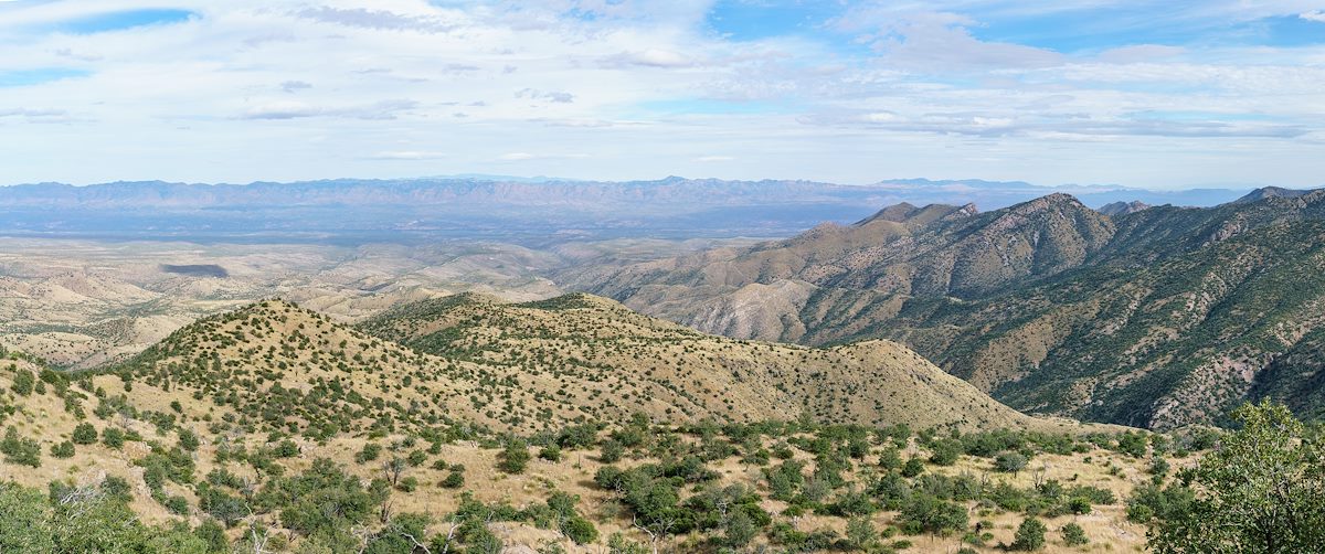
Below Marble Peak, at a sharp turn, the Control Road crosses a cattle guard and a fence runs up the ridge towards the top of Lombar Hill. A road on the north side of the fence seems like it might take you to the top, but instead it ends at a fire ring and a trail that quickly disappears into thick vegetation. On the south side of the fence a small, occasionally overgrown, path parallels the fence - it only takes a few minutes on this path to get to the top - a nice break from the long drive up the mountain!
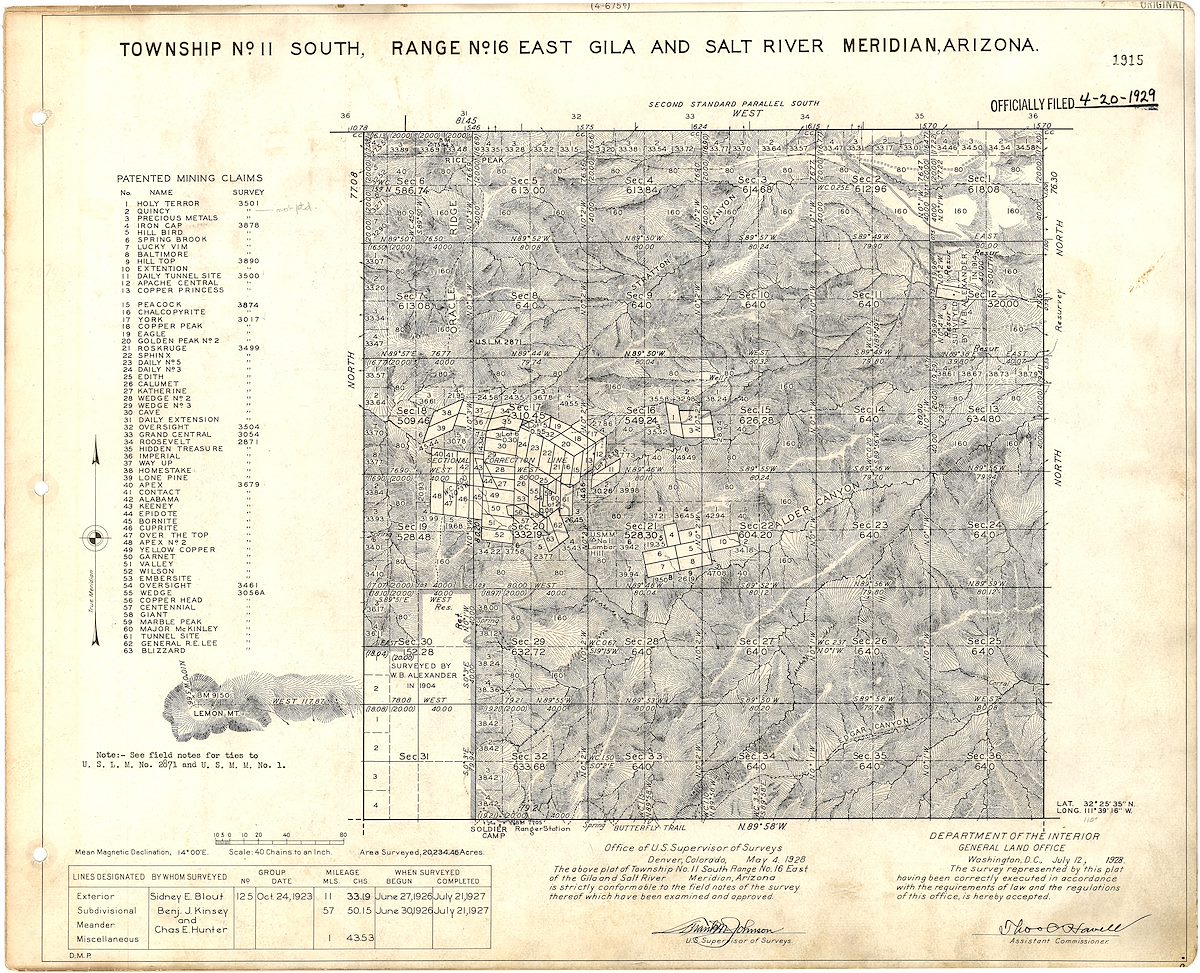
I am not sure about the who/what/why of the name Lombar Hill (please contact me if you can fill me in on the history of this name!) - the name does not appear on the USGS 1904 Tucson Map, perhaps because it is a smaller feature, but does appear on a survey from the 1920s...