Suggested driving directions from the Speedway and Campbell intersection in Tucson to the Lower Green Mountain Trailhead:
Drive East on Speedway (5.0 miles)
Left on Wilmot and continue on Tanque Verde (4.3 miles)
Left on Catalina Highway (16.1 miles)
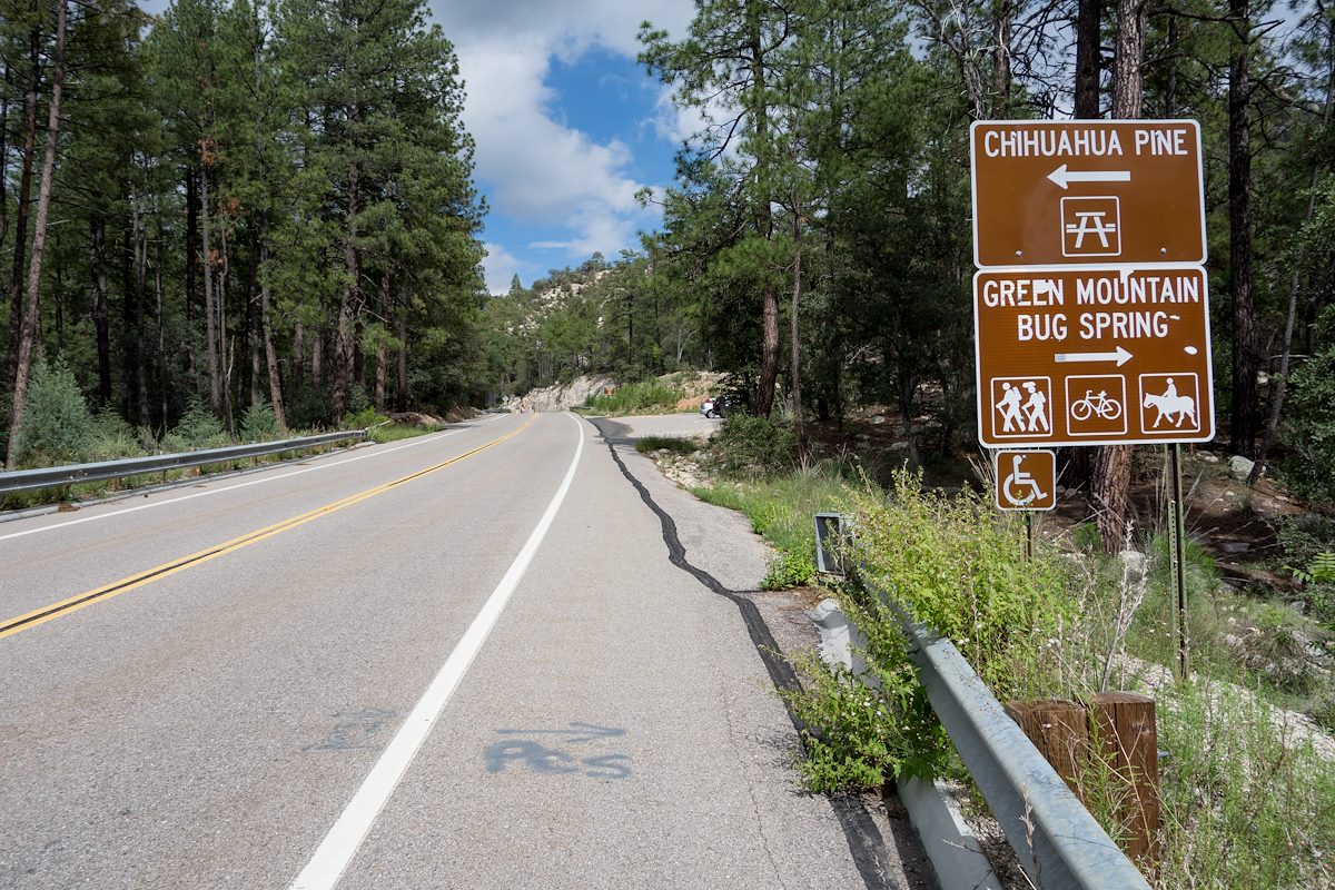
Signs will help you find the turn into this trailhead - it is located across from the Chihuahua Pine Picnic Area (up-mountain from the Middle Bear Picnic Area and down-mountain from the General Hitchcock Campground).
2014 September Chihuahua Pine Picnic Area and Lower Green Mountain Trailhead Highway Sign. Charles Miles. 9/10/2014.
Located in Bear Canyon this trailhead provides access to the upper end of the Bug Spring Trail and the lower end of the Green Mountain Trail (both part of the Arizona Trail Pusch Ridge Wilderness Bypass).
At This Trailhead: Bug Spring Trail, Green Mountain Trail, Arizona Trail Pusch Ridge Wilderness Bypass
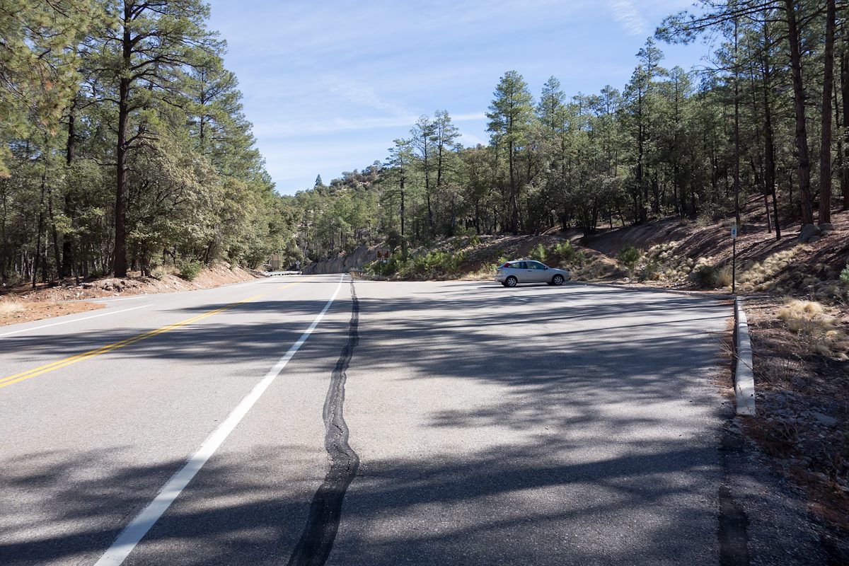
Nearby Trailheads and Parking: Down-mountain 2014 March Lower Green Mountain Trailhead. Charles Miles. 3/5/2014., Up-mountain Lizard Rock Parking Pullout
50 Minutes from Speedway and Campbell
25.5 miles from Speedway and Campbell
Miles up the Catalina Highway: 11.6 miles
Side of the Highway: Up-mountain
Vehicle Access: Paved Roads/Passenger Car (Mountain Road - be careful of weather conditions!)
There are no facilities at this trailhead but you can find restrooms at the nearby picnic areas - note that while parking at this trailhead is free all of the picnic areas/restrooms are fee areas.
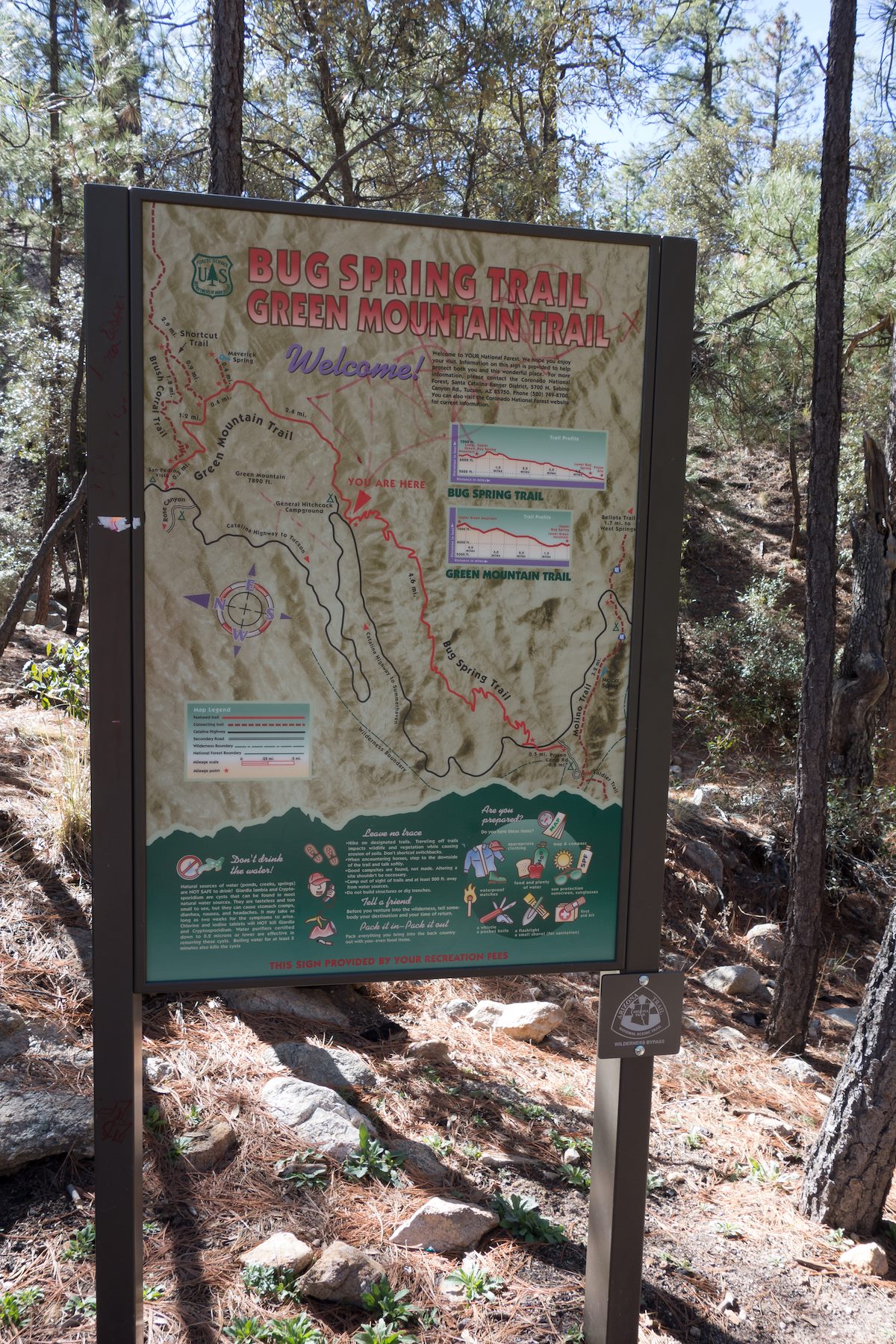
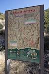
2014 March Lower Green Mountain Trailhead. Charles Miles. 3/5/2014.2014 March Bug Spring and Green Mountain Large Forest Service Sign. Charles Miles. 3/5/2014.