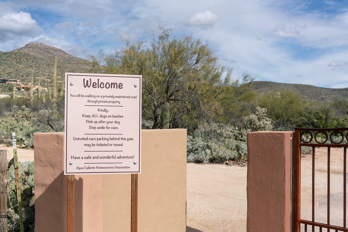
Parking off the pavement on the side of Avenida de Suzenu is not exactly a thrilling way to start a hike - but at least access into the La Milagrosa and Agua Caliente Canyons and to the adjacent trails has been preserved!
- At This Trailhead: La Milagrosa Trail, La Milagrosa and Agua Caliente Canyon Trail Loop
- Nearby Trailheads and Parking: Milepost 0, Agua Caliente Hill South Trailhead
- 35 Minutes from Speedway and Campbell
- 14.6 miles from Speedway and Campbell
- Vehicle Access: Paved Roads/Passenger Car
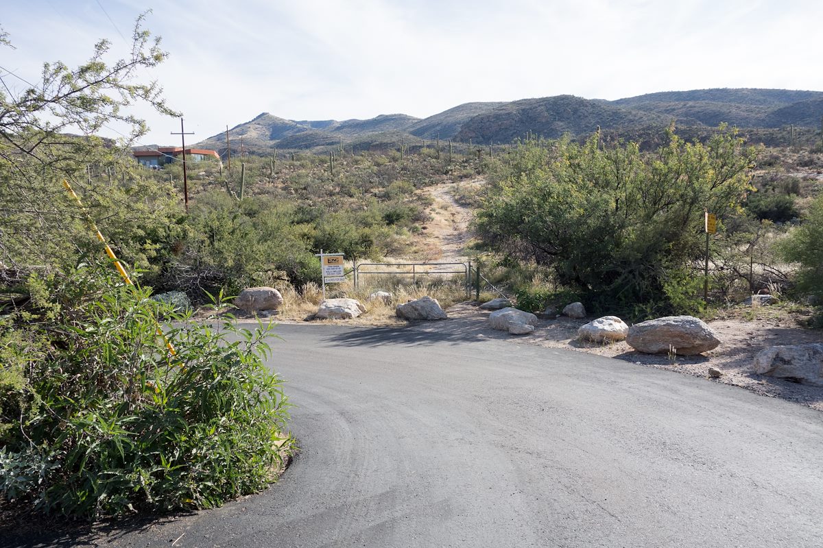
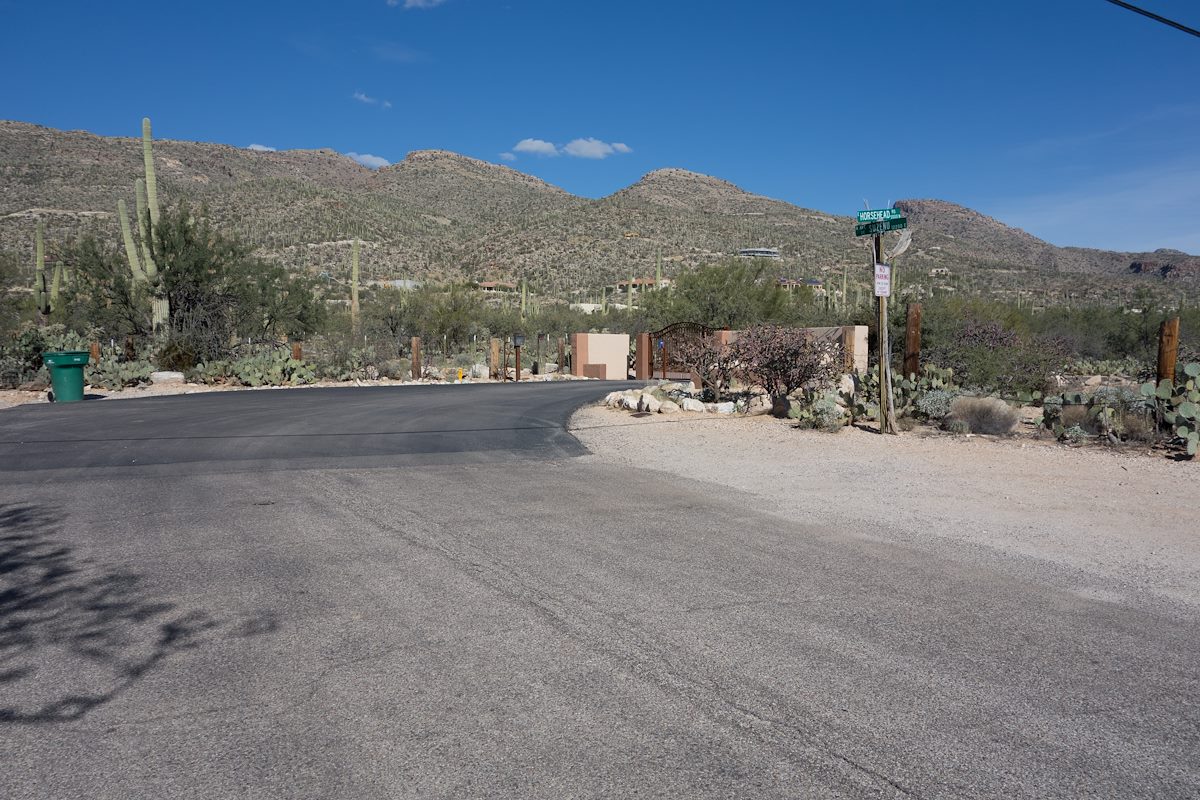
- The parking for this trailhead is off the side of the road on Suzenu south of it's intersection with Horsehead Road. This parking area/easement is well known and frequently used but this is not an official Pima County Trailhead and you won't find any official 'Trailhead' signs.
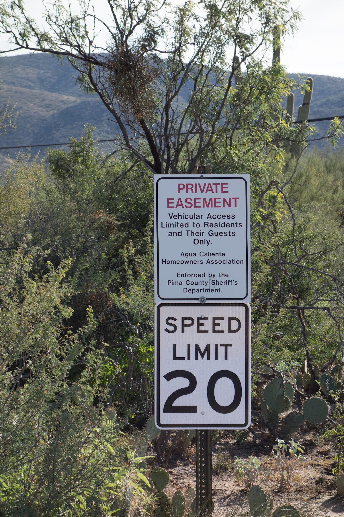
- The first part of any hike from this trailhead is to walk east, thru the gate, along Horsehead Road for approximately 0.6 miles - motor vehicle access to this section of Horsehead road is open only to residents and their guests.