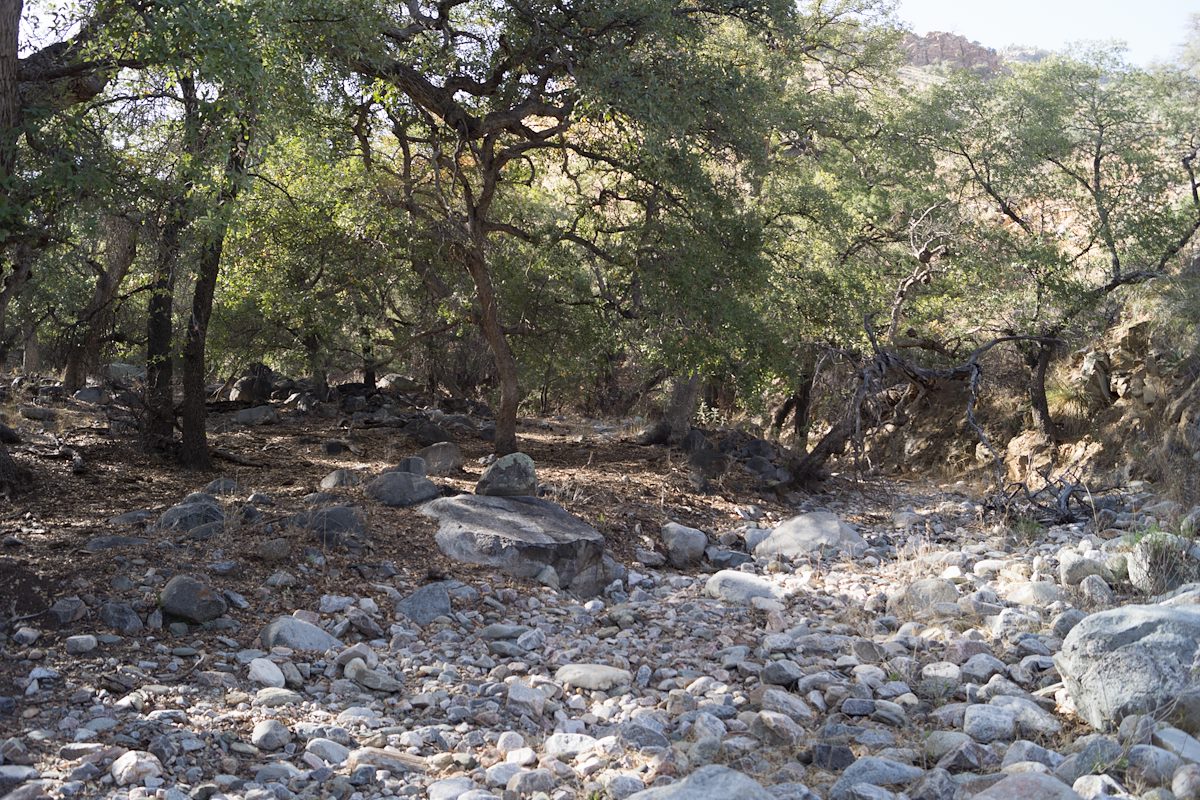
2014 March Above Araster Spring: Note that in on the USGS Maps this canyon does not have a name - in the Cowgill and Glendening guide this is called Edgar Canyon (which is one drainage south on the USGS Maps). Charles Miles. 3/12/2014.
ƒ/4.5
1/100
ISO 100
18 mm
DT 18-55mm F3.5-5.6 SAM
SONY
SLT-A65V
©2014 Charles Miles
Tags:
araster spring canyon
arizona
butterfly roadless area roadless area
coronado national forest
edgar canyon
peck basin
pima county
santa catalina mountains
santa catalina ranger district
Related:
Photographs - March 12, Wednesday, 2014
10/24/2022
Previous/Next:
2014 March Fence Across and Path Near Araster Spring
10/24/2022
2014 March On the hillside above Araster Spring Looking towards Point 5681 and Point 6060
10/24/2022
Created by Charles Miles on 8/11/2020. Updated by Feature Intersection Tagger on 10/24/2022.