Mount Miguel – 2014/3/9

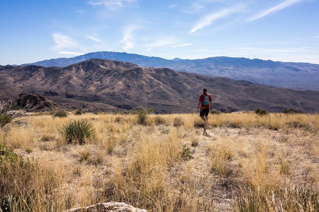
1403 Ridge out to Mount Miguel
Ridge out to Mount Miguel. March 2014.

Years ago our friend Alex told us about Mount Miguel – I was surprised we had not heard about it since the name appears on the USGS map and it is relatively close to Tucson and the Esperero Trail – but it wasn’t until seeing Mount Miguel last week from the Esperero Trail that we really thought about it again…

We started the day in overflow parking for Music in the Canyon (held by the Friends of Sabino Canyon) – there seemed to be quite a few people attending the event! After walking back to Sabino Canyon we headed up the Esperero Trail. Alex told us that he had left the Esperero Trail at the first obvious slope that heads up to Mount Miguel – but recommended instead to stay on the trail longer – so we took the trail up to Cardiac Gap and then hiked south along the ridge to Mount Miguel.

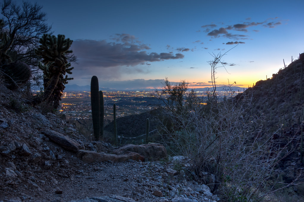
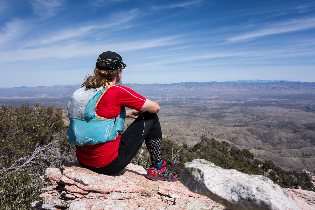
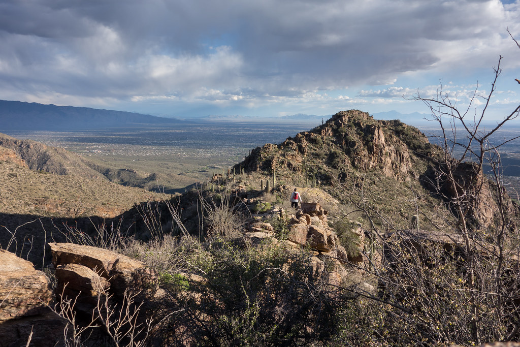
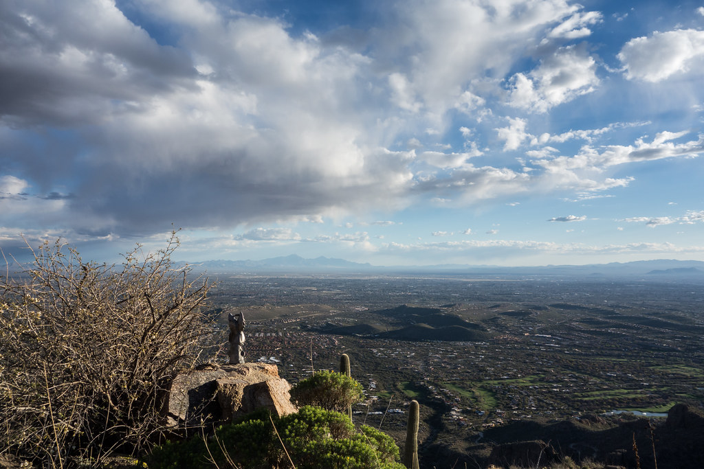
Strong wind at the Gap and on the ridge was a pleasant surprise – we may not have found the best path along the ridge, but the route we took was beautiful (and not too brushy!) – and before long we were at the top! We enjoyed the views into Sabino Canyon and Tucson and watched the light change and shadows grow as the end of the day crept closer. Soon it was it was time to head down – we left San Miguel alone on the top looking over Tucson.

1403 Watching over Tucson

We took a fairly obvious/short line east down to the Esperero Trail – this route looked a little steep at first but was actually quite reasonable. On the Esperero Trail we lost the light and happily put on our headlamps to finish out our hike under the moon and stars.

1403 End of the Day on the Esperero Trail

Map via Gmap4 with GPX


Elevation Profile for Mount Miguel via Esperero – Cardiac Gap
flickr – 2014 March Mount Miguel

Ridge East of Guthrie Mountain to Point 6925 – 2014/3/5

1403 Rocky Point along the Ridge East of Guthrie
Rocky Point along the Ridge East of Guthrie. March 2014.

Upper Green Mountain Trailhead, Green Mountain Trail, Guthrie Mountain Trail – I have been on the Guthrie Mountain Trail a number of times but today I made time for something new – nearly to the top of Guthrie I take a faint old trail and follow cairns along the ridge east of the Guthrie Mountain – this trail is marked as a route on the ‘SAHC’ map but that seems very optimistic at this point…

I skirt Point 7162 (I had been there last March and tag it on the way back) – the cairns disappear – eventually I reach a small rock formation that seems to be the high point of the ridge – this is my original ‘starred’ destination from the ‘SAHC’ map – but after battling thru the brush along the ridge it seems impossible to turn around without going out to Point 6925 –

1403 Ridge out to 6925

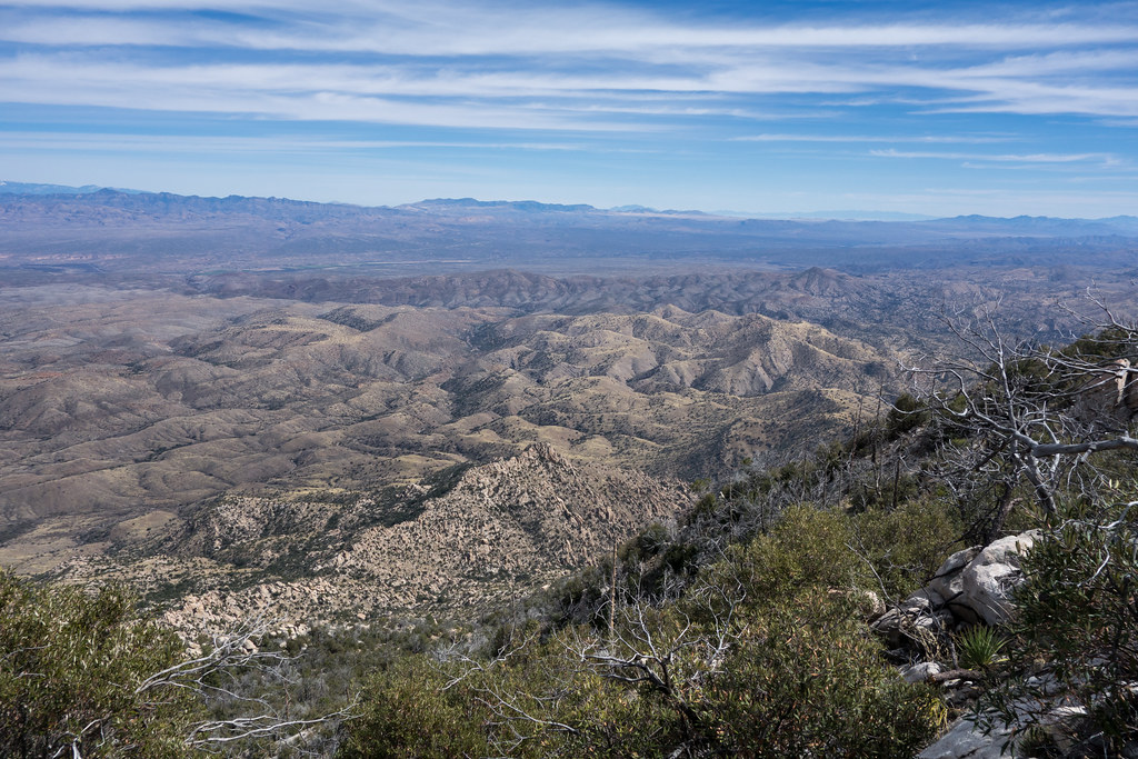
The ridge out to Point 6925 is a bit of a thrash but the views are interesting and worth it – not sure how many times I need to do this hike – but it was certainly fun!

1403 Point 5380 and Donovan Tank Area

flickr – 2014 March Guthrie Ridge to Point 6925 and Maverick Spring

Esperero Trail – 2014/3/2

1403 Sunset Panorama
Sunset. March 2014.

Clouds in the sky – but no real hint of yesterday’s storm (that dropped the first rain in the Tucson area since a small amount fell on February 3! See Drenching rains follow unusually warm Tucson February for more details.) – we had time to hike about 3 miles up the trail and then just barely caught the beautiful sunset!

flickr – 2014 March Esperero Trail

Sunset Trail, Storm – 2014/3/1

1402 Sunset Trail in the Clouds
Sunset Trail in the Clouds. February 2014.

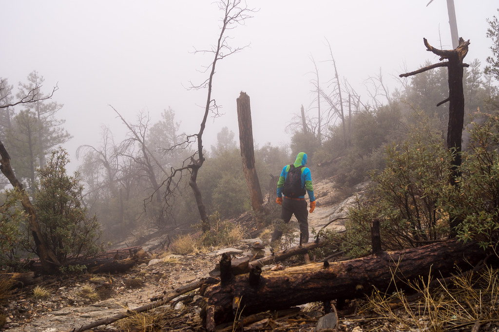
Clouds covered the upper portion of the mountain and there were forecasts of possible snow – driving up the mountain clouds float thru the ridges above Bear Canyon and rockfall on the road reminds me to pay attention – somewhere before the Palisade Ranger Station the clouds cover the highway – I went higher hoping that fast moving clouds might offer interesting views… Mostly wind at the start of the Sunset Trail – it doesn’t really start to rain and hail until I arrive at the empty Marshall Gulch Picnic Area, and then it really really rains and hails on the way back… The clouds never break – just part of the fun.

flickr – 2014 March Sunset Trail Storm

Babad Do’ag Trail and Guthrie Mountain – 2014/2/27

1402 Point 4780 East of Babad Do'ag
Point 4780 East of Babad Do’ag. February 2014.

Point 4780 near the Babad Do’ag Trail… Started the day on the Babad Do’ag Trail, tried to make good time up the trail but did take the time to hike up the spur to Point 4780 (first time!) – saw the first snake I have seen this season and for a few minutes everything seemed like a snake – nice weather, but hits of summer sun and heat…

After the Babad Do’ag Trail I drove to the Lower Green Mountain Trailhead – I had hoped to get to the point marked on the SAHC map near Guthrie Mountain, but I wasn’t fast enough and had to turn around at the ‘main’ summit – windy and almost had to put on my jacket, but not quite!

This was the first day since January that I have pushed myself outside and I definitely felt it – just over 11 miles and 3100′ of gain.

1402 Guthrie Mountain Trail at Bear Saddle

flickr – 2014 February Babad Do’ag Trail, 2014 February Guthrie Mountain