Buehman Canyon – 2/12/2017

February 2017.
Exiting Buehman Canyon in a storm. February 2017.

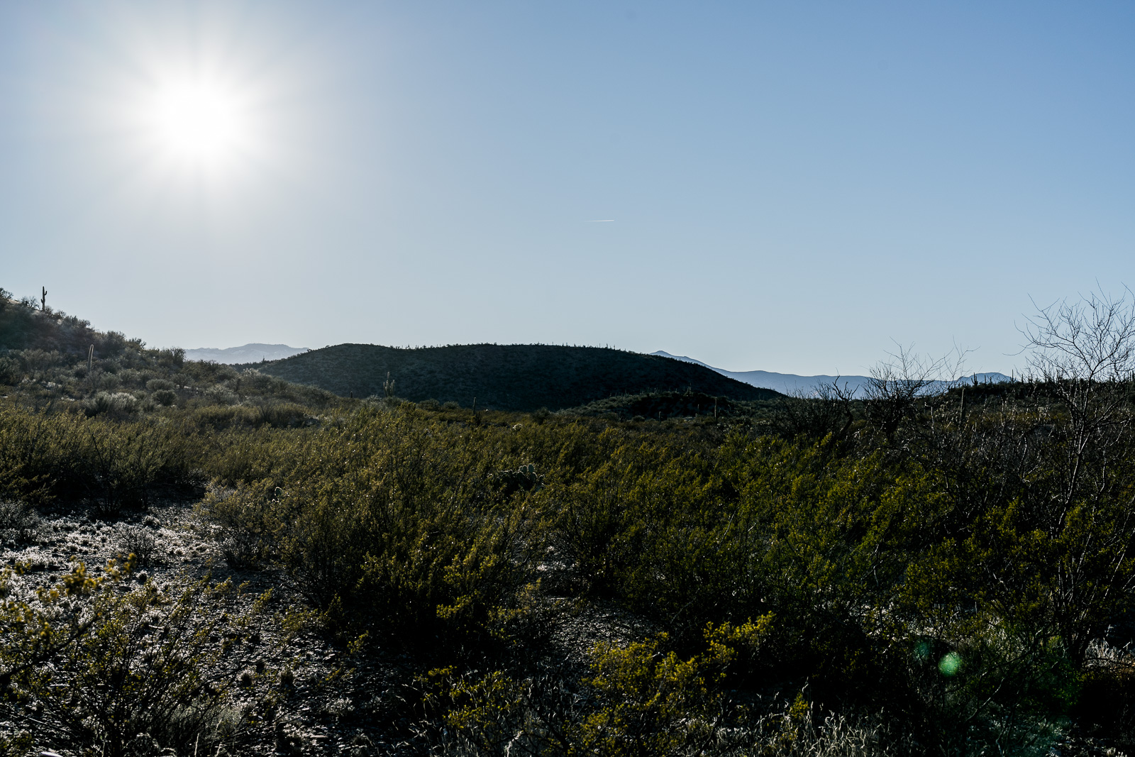
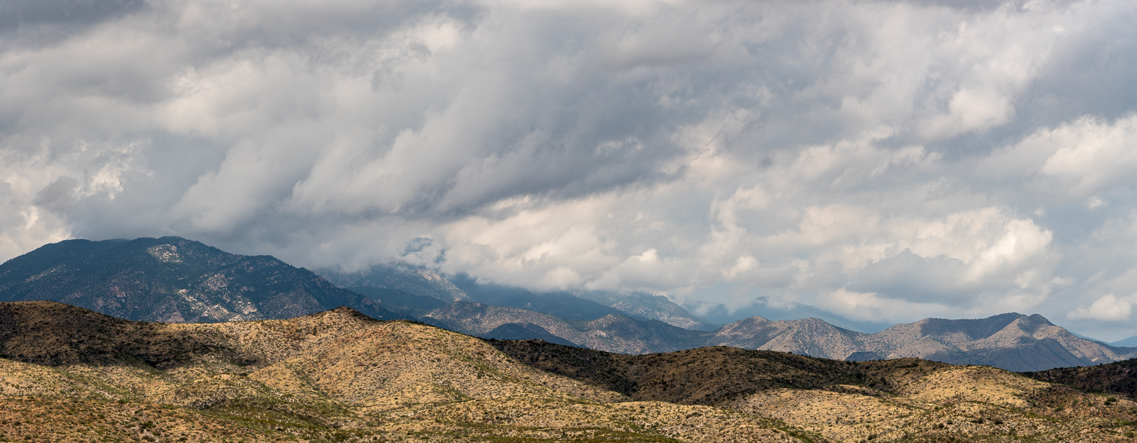
The rain is making streaks across my photos – I am half way up a small side canyon finishing a too-short loop in Buehman Canyon. Often I would welcome the weather – but today, parked on a dirt road I barely know and in a section of canyon I have never visited before, an early exit due to the weather seems like a smart decision and, reluctantly, I continue upwards.

February 2017.
Beautiful light on the Evans Mountain area from FR4407 – Brush Corral Road. February 2017.

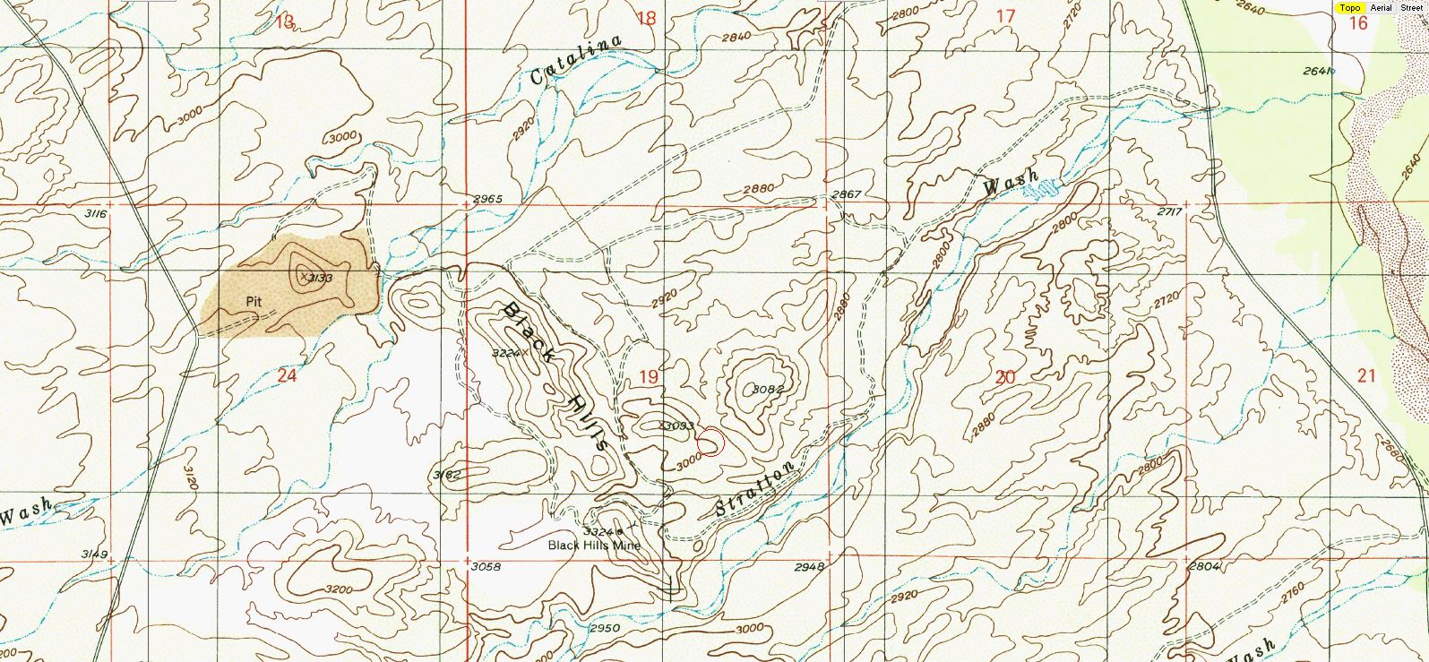
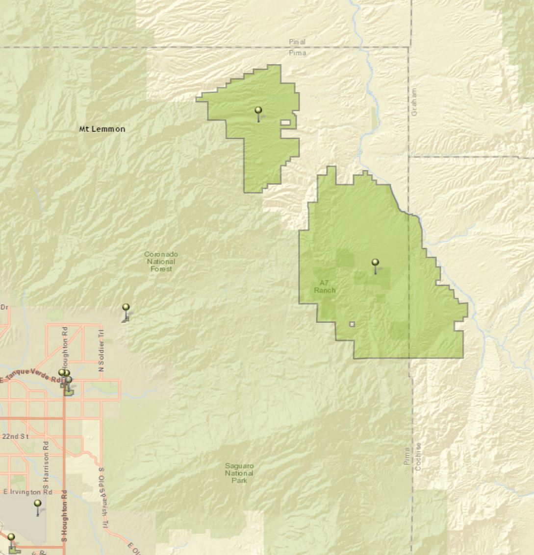
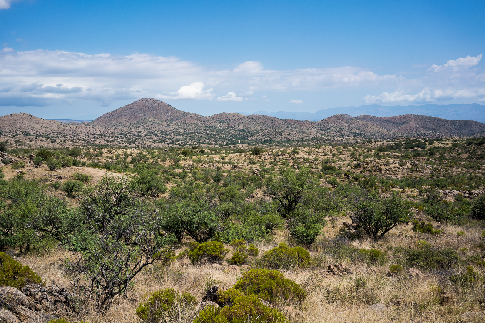
Rather than the the traditional entrance to Buehman Canyon I started on Brush Corral Road – FR4407 – near Pink Tank. From here there are beautiful views of the Evans Mountain area – it is an easy walk to the edge of Buehman Canyon and stunning views of the canyon below.

February 2017.
Looking down into Buehman Canyon. February 2017.

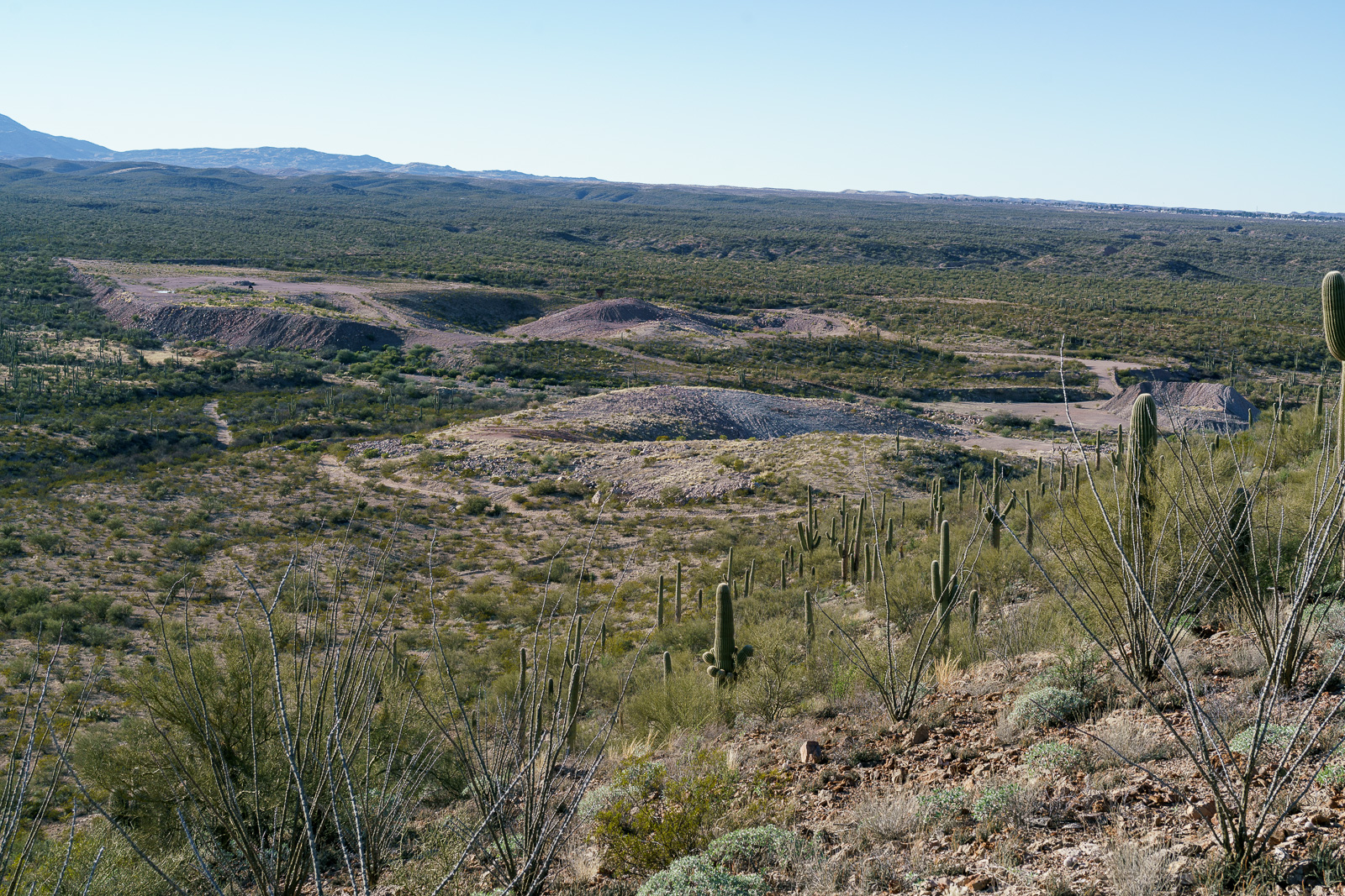
The descent down a small drainage into the canyon is steep and unremarkable – but the bottom of the canyon is amazing! Interesting rock walls, carved water ways, flowing water, gorgeous colors – the first drops of rain signal an end too my visit much too quickly…

February 2017.
Buehman Canyon. February 2017.

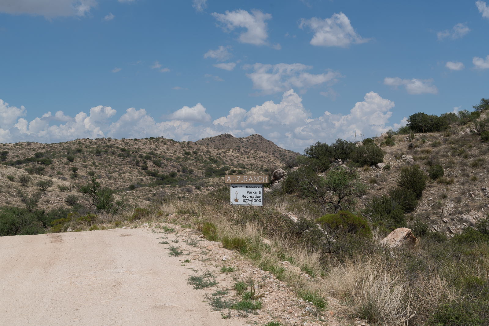
Pima County owns and protects much of the bottom of the canyon east of the forest boundary – the land was donated to The Nature Conservancy in 1996 and in 2011 was transferred to Pima County (who owns the nearby A7 and Six Bar ranches). In the last few miles down to the San Pedro River the canyon becomes a mix of Arizona State Trust Land and private land.

Buehman Canyon is named for Henry Buehman. Henry Buehman was born in Bremen, Germany, in 1851 and before setting off for the US in 1868 he spent 3 years as a photographer’s apprentice. After a short stay in New York Buehman traveled to California where he worked as a photographer for 4 years before selling his business in Visalia to fund mining ventures in Califonia, Utah and Nevada.

After becoming an American citizen Buehman crossed into in Arizona at Stone’s Ferry and equipped himself for a trip into Mexico in Prescott – but in Tucson he ended his journey and soon began working as a photoghaper and dentist.

Buehman made potraits, photographed events and traveled Southern Arizona creating photographs. His studio and photographic business were successful and he purchased 150 acres west of Redington and established a ranch. He lost the ranch after droughts in 1895 and 1896.

In addition to photography Buehman held a number of offices in Pima County and Tucson beginning in 1882 when he was elected as Public Administrator of Pima County and culminating with two consecutive terms as Mayor from 1895 to 1899.

Henry Buehman died in 1912 – but Buehman Studio continued to be run by Henry’s son Albert and grandson Remick. The studio closed in 1950 and in 1967 the Arizona Historical Society purchased the collection. The photos are available for the public to view thru the Arizona Historical Society and are featured in The Buehman Studio, Tucson in Focus.

The Black Hills, West of the San Pedro River – 1/28/2017

January 2017.
Looking back at the Point 3224 in the Black Hills from an old road to the east. January 2017.

East of Black Hills Mine Road, west of the San Pedro River, north of Stratton Wash and south of Catalina Wash the Black Hills rise out of the desert on Arizona State Trust Land. A packet of information online via the Arizona Geological Survey details the mining history back into the 1940s.

January 2017.
An entrance in the Black Hills. January 2017.

1947 – “Mr. Reuss and his partner acquired the Black Hills property several years ago. They built a road to it, constructed a camp, and equipped it with a small compressor and accessory tools. The partners then spent nearly two years developing the area. The chief work is a crosscut tunnel about 200 feet in length. Development abandoned when the partners ran out of funds to carry on.”

January 2017.
Plan and Cross Section of the Black Hills Group from a packet of information about the mine from the Arizona Department of Mines and Mineral Resources Mining Collection. January 2017.

1955 – “Proposed Plans Operators wish to sell the limestone or lime to the San Manuel Copper Corp. by selling the limestone as mined, or by installing a lime kiln to treat the limestone.”

January 2017.
Perhaps fill over the 30′ shaft in the Black Hills Mine Group? January 2017.

1983 – “The Magma Copper Co. owns the original Black Hills Mine, Pinal County and its associated patented claims covering most of the west half of Section 19, T10S RI8E. The company also owns all of the adjacent Section 24, T10S RI7E; in the NE 1/4 of this section lies the current Black Hills limestone quarry where, according to company officials, enough limestone has been mined and stockpiled to last some 10 years.”

January 2017.
Looking down on the Limestone Quarry between the old Black Hills Mine and Black Hills Mine Road. January 2017.

For this hike I parked in a pull out on the west side of Redington Road just south of Stratton Wash and walked up the wash to the Black Hills. Stratton Wash and the Black Hills are on Arizona State Trust Land, a permit is required. The area around the quarry between the Black Hills and Black Hills Mine Road is private property – the mix of land ownership in this area makes it valuable to have a map showing property boundaries if you are exploring.

Much of San Pedro River east of the Santa Catalina Mountains (north of Redington Road meeting the river, south of San Manuel/Magma Copper) is surrounded by private land – however Stratton Wash east of Redington Road down to (and across) the San Pedro River is on Arizona State Trust Land – walking down to the (usually dry) river is an interesting way to start the day before walking up canyon to the Black Hills.

January 2017.
The Black Hills. January 2017.

First Snow – 11/28/2016

The cameras at the top of the mountain showed a nice layer of snow but at 6 AM ‘Closed’ signs blocked the drive up the mountain – instead I drove Redington Road hoping the snow might have made it far enough down the mountain to photograph from one of the view points near the Italian Spring Trailhead, low clouds and a high snow line meant that the lovely sunrise scene didn’t include any snow – but closer to town it was easy to see the first good snow of the winter blanketing the top of the mountain!

November 2016.
Sunset from Redington Road. November 2016.
November 2016.
First snow of the winter! November 2016.
November 2016.
No snow lower on the mountain – but a nice blanket higher on the Mountain. November 2016.

Race Track Tank – 10/27/2016

Sun and mud beside Race Track Tank - north of Redington Road. October 2016.
Sun and mud beside Race Track Tank – north of Redington Road. October 2016.

Dropping a friend at the Italian Spring Trailhead gave me an excuse to wander – I watched a Nothern Harrier make loops around White Tank and eventually made my way to Race Track Tank. The tank is holding plenty of water – but, as is too frequently the case in the Redington Area, while looking at the tank I came across a disappointing amount of trash…

Hopefully this will change over time – one group who has been actively helping is the Friends of Redington Pass who have already held several clean ups and is planning another one on Nov. 19th starting at 8am – the flyer is displayed below, see this page for more information and to RSVP for the event.

Race Track Tank. October 2016.
Shells... Trash near Race Track Tank. October 2016.
Shells… Trash near Race Track Tank. October 2016.
Friends of Redington Pass - Flyer for the November 19, 2016, Cleanup. October 2016.
Friends of Redington Pass – Flyer for the November 19, 2016, Cleanup. October 2016.
Race Track Tank - north of Redington Road, west of the Italian Spring Trailhead, south of the Bellota/Arizona Trail. October 2013.
Race Track Tank – north of Redington Road, west of the Italian Spring Trailhead, south of the Bellota/Arizona Trail. October 2013.

Pima County’s A-7 Ranch – 7/2/2016

A sign on Redington Road marking the boundary of Pima County's A-7 Ranch. July 2016.
A sign on Redington Road marking the boundary of Pima County’s A-7 Ranch. July 2016.

A small sign on Redington Road announces the boundary of Pima County’s A-7 ranch – there is no welcoming trail map, list of rules, historic marker or dedications – just a simple sign, easy enough to miss, the land on either side looks the same.

A storm over the Santa Catalina Mountains - A-7 Ranch between Redington Road and the San Pedro River.
A storm over the Santa Catalina Mountains – taken from a road on the A-7 Ranch – between Redington Road and the San Pedro River. June 2016.

The A-7 Ranch is owned by Pima County – it was purchased with funds from a voter approved 2004 Bond program that made $174 million dollars available for open-space purchases. The A-7 stretches from Buehman Canyon in the Santa Catalina Mountains down to the North East corner of the Rincon Mountains – it is bordered on the east by the San Pedro River and helps to connect the Galiuro, Rincon and Santa Catalina Mountains.

Two of Pima County's open space purchases - the Six Bar Ranch (upper) and the A-7 Ranch (lower). Santa Catalina Mountains (upper left), Rincon Mountains (lower center) and the edge of the Galiuro Mountains (upper right). July 2016.
Two of Pima County’s open space purchases – the Six Bar Ranch (upper pin) and the A-7 Ranch (lower pin). Santa Catalina Mountains (upper left), Rincon Mountains (lower center) and the edge of the Galiuro Mountains (upper right). July 2016.

Access information can be found here – don’t expect to find a network of established hiking trails… Some recent history from a Pima County Report:

The 41,000 acre A-7 Ranch lies northeast of Tucson along Redington Road, between the Catalina and Rincon Mountains and the San Pedro River. The County acquired the ranch from the City of Tucson in 2004. The City had purchased the ranch in 1999. Prior to the City’s purchase, the ranch was part of a larger ranch totaling about 96,000 acres known as the Bellota Ranch, which was owned and operated by the Riley-West Corporation for 20 years. The A-7 portion of the Bellota Ranch was sold to the City, while the Forest Service grazing permit was sold to the owners of the Tanque Verde Guest Ranch.

Piety Hill, A-7 Ranch, Redington Road. July 2016.
Redington Road heading towards Piety Hill on the A-7 Ranch. July 2016.