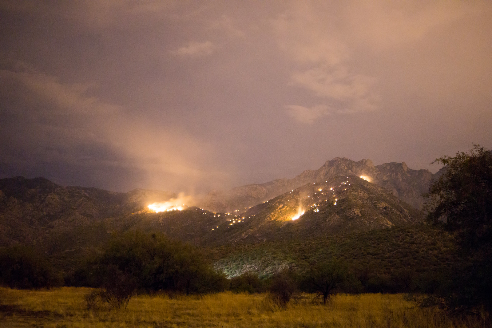
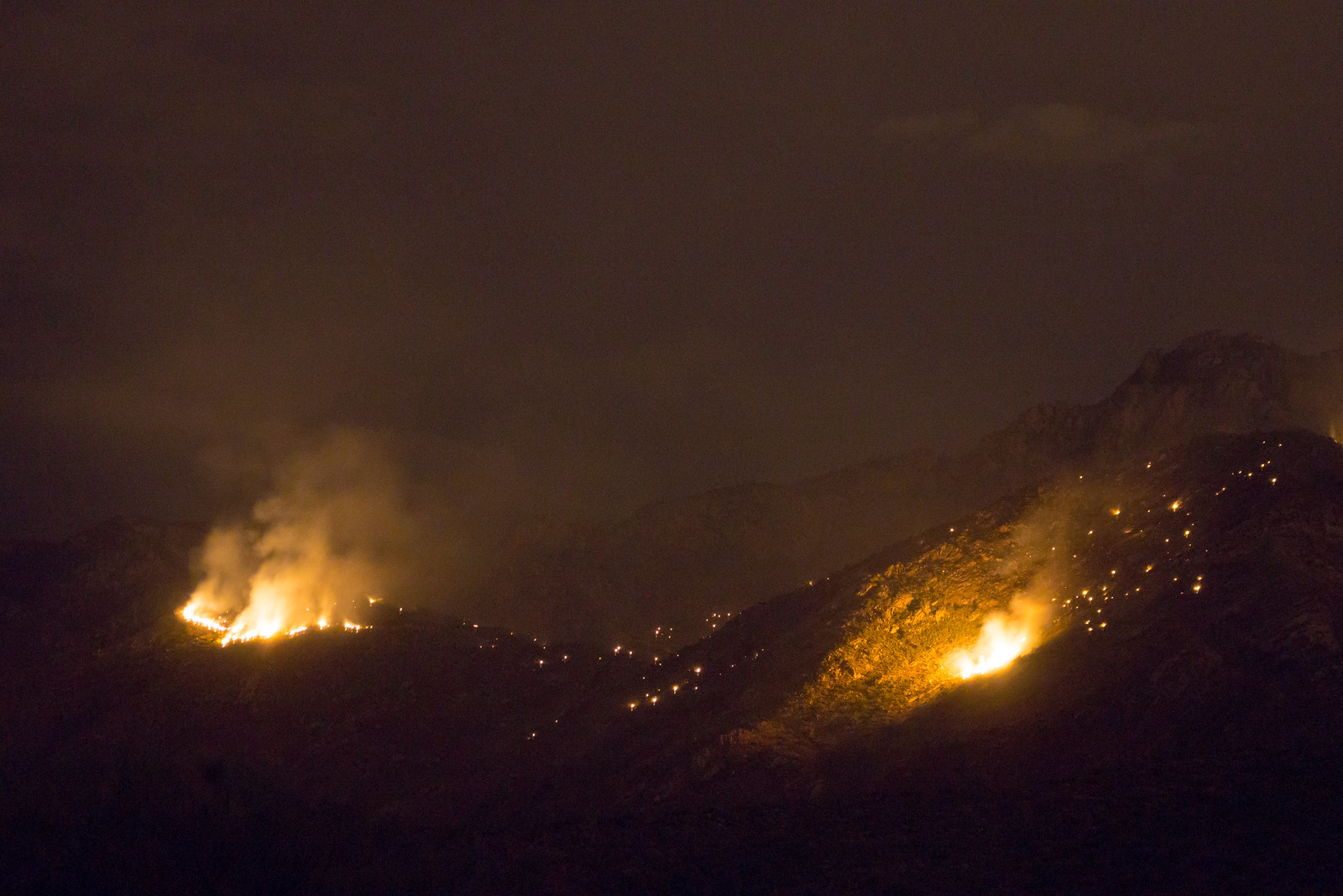
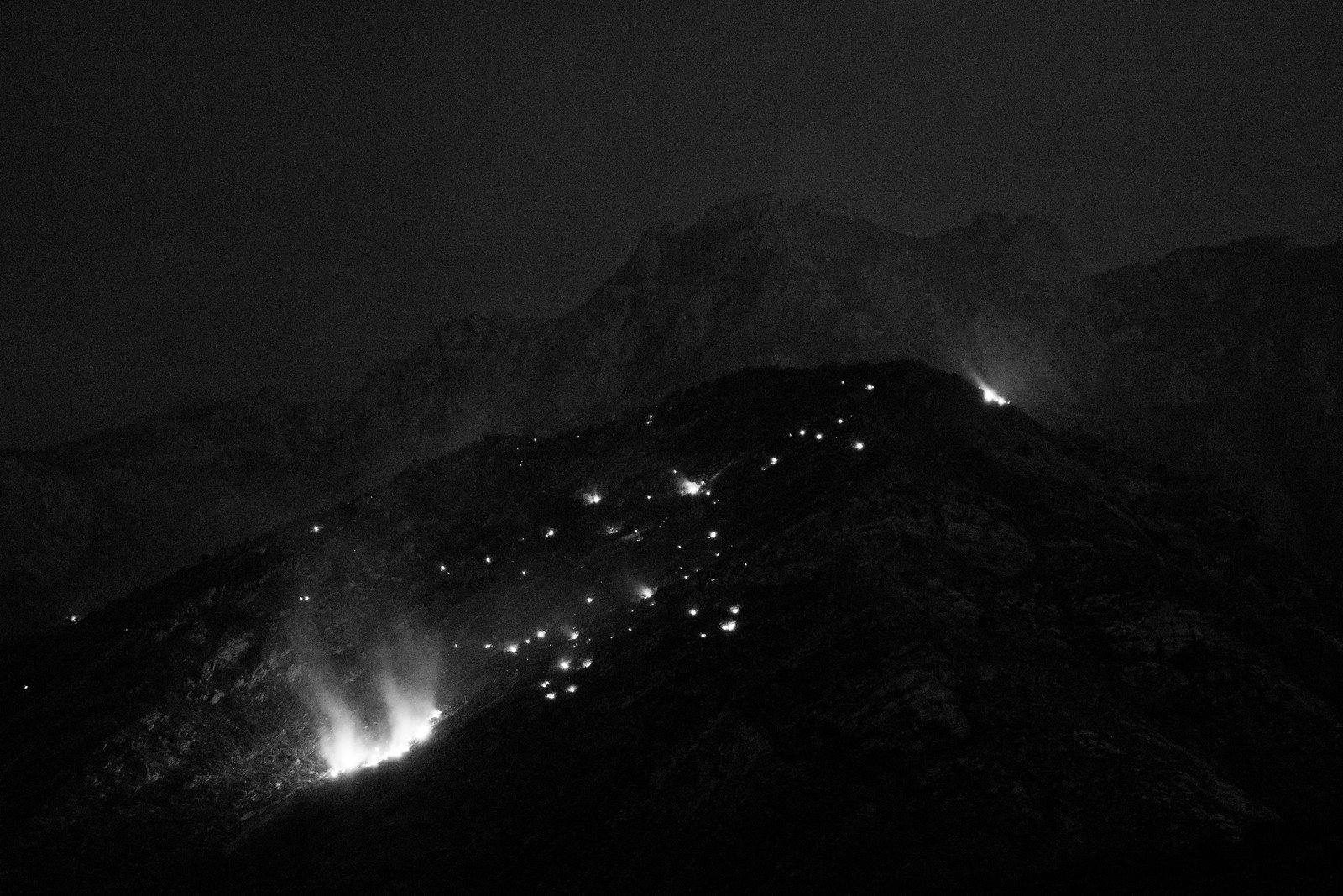
Fire Near Pusch Peak – Bighorn Mountain Fire – 8/23/2015

Update 8/26: This fire was called the Bighorn Mountain fire – the Forest Service reports that the fire was caused by lightning and in a fly over on 8/24 (the morning after the fire started) no fire activity was observed (report here). Bighorn Mountain (Wildfire) – WildfireAZ.com,  Wildfire burning on Pusch Ridge – Tucson News Now.

Midnight Update: I could still see two very small/faint orange dots on the mountain, but the fire appears to be very very small at the moment compared to the picture below…

If you are in Tucson you may have seen the smoke and flames near Pusch Peak – I haven’t seen any news yet about this fire but here is a picture from town.

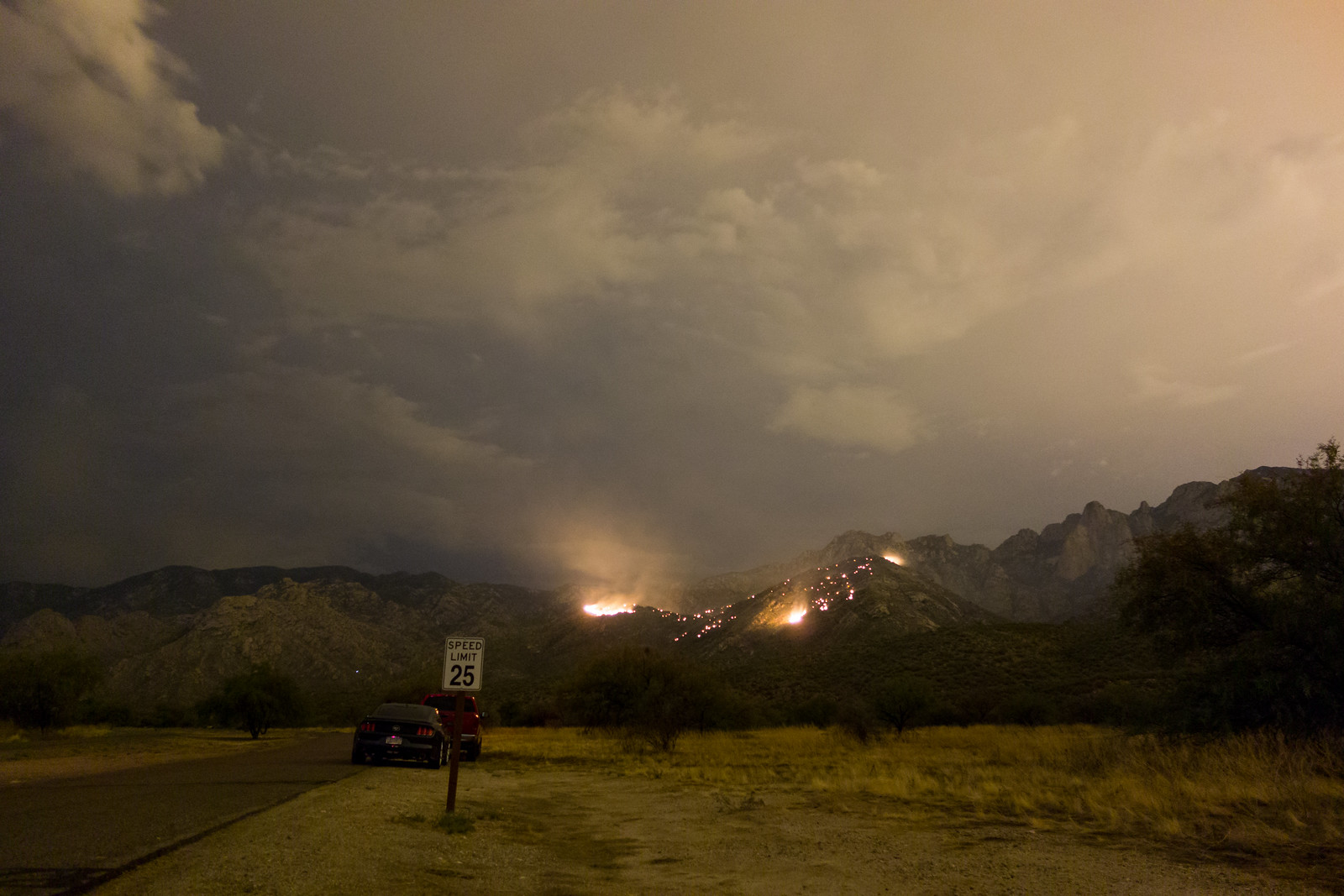
A fire burning just below Pusch Peak in the Push Ridge Wilderness, Santa Catalina Mountains, Coronado National Forest. August 2015.

Buster Mountain Fire – 7/14/2015

Reported at 60 acres with some expectation that it will burn out or be put out by rain I wasn’t really sure what this lightning caused fire would look like. I stopped briefly near the Linda Vista trail and watched flames peak over the ridge and highlight the smoke in the sky – interesting but not so impressive. Driving farther north the view changed quickly and soon I stood with a handful of other people just inside Catalina State Park watching the fire – from here quite a bit more impressive…

1507 Buster Mountain Fire 01
Watching the fire – just off the road into Catalina State Park. July 2015.
1507 Buster Mountain Fire 02
Buster Mountain Fire. July 2015.
1507 Buster Mountain Fire 03
Buster Mountain Fire. July 2015.
1507 Buster Mountain Fire 04
Buster Mountain Fire. July 2015.

News Links:

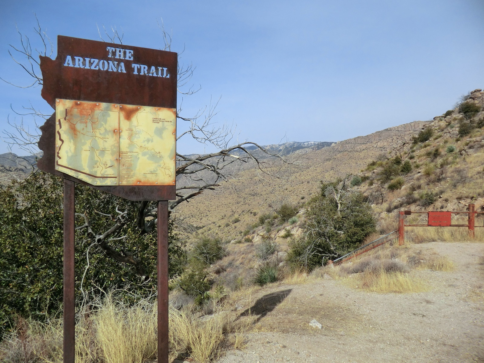
The Shreve Saddle Arizona Trail Sign

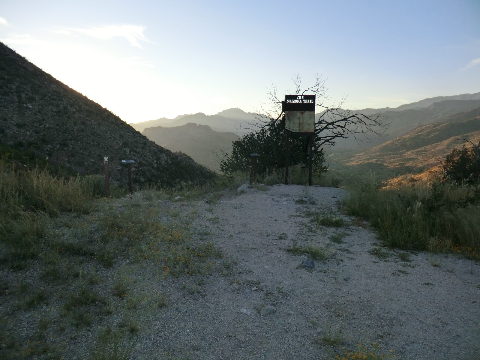
1212 Arizona Trail Sign
The Arizona Trail Sign at Shreve Saddle. December 2012.

For years the sign above greeted you at Shreve Saddle on the edge of the Pusch Ridge Wilderness where the Molino Basin Trail and Sycamore Reservoir Trail meet – but it is now gone…

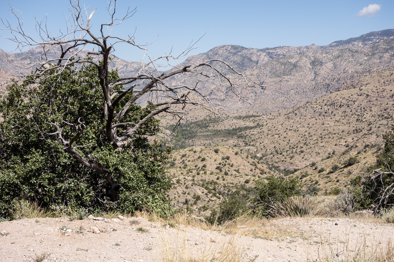
1505 Shreve Saddle without the Arizona Trail Sign
Shreve Saddle – Arizona Trail Sign removed. May 2015.

I liked the old sign – but the information was not up to date, ‘one less giant sign in the backcountry’ seems like a good idea and the view is nicer without the sign – probably a change for the better, but I still miss it just a little…

1209 Arizona Trail Sign
The Arizona Trail Sign at Shreve Saddle. September 2012.

Pontatoc Canyon – 5/24/2015

The water seems to be almost gone from Pontatoc Canyon – there was only a single small pool along the Pontatoc Canyon Trail, crowded with Water Striders – waiting for the summer rains I guess.

1505 Water Strider in Pontatoc Canyon
A Water Strider in a shrinking pool in Pontatoc Canyon. May 2015.

After crossing Pontatoc Canyon for the last time the trail becomes increasingly faint – for awhile I lost the trail, eventually wandering back onto the thin track thru the Shin Daggers – after a short break at the end of the trail it was time to head down…

1505 Point 5391 from the Pontatoc Canyon Trail
Looking up at Point 5391 from the Pontatoc Canyon Trail. May 2015.
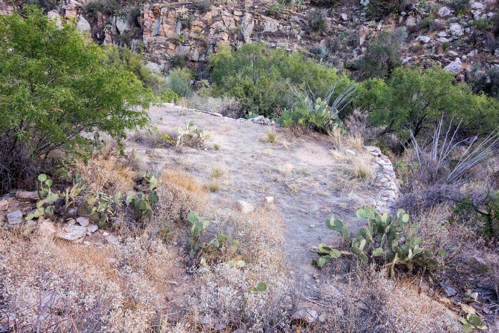
1505 Old Platform off the Pontatoc Canyon Trail
An old platform near the Pontatoc Canyon Trail. May 2015.

Sycamore Reservoir and Bear Canyon, Racing with Friends – 5/23/2015

1505 Richard on the way down to Sycamore Reservoir
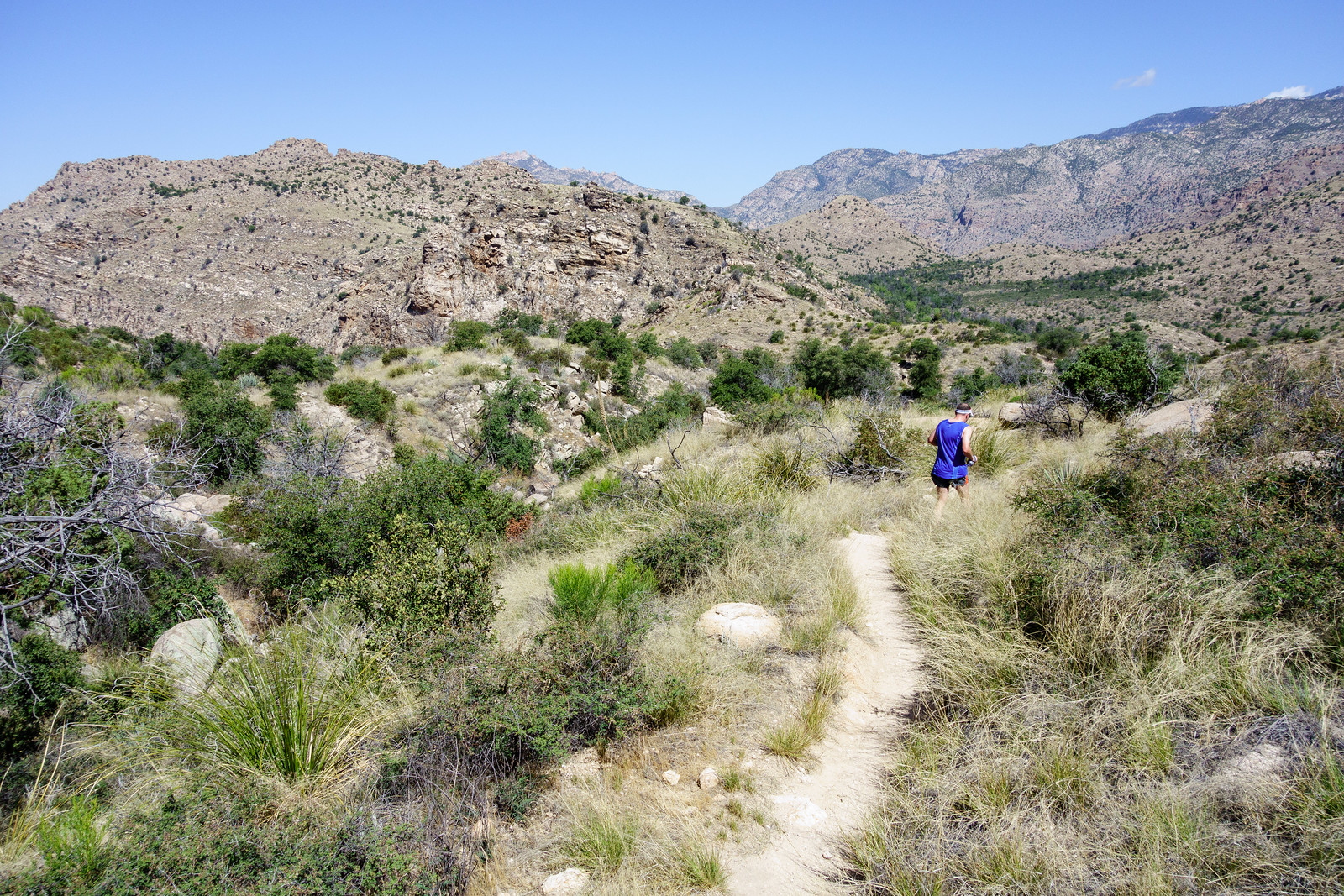
RA running down the Sycamore Reservoir Trail. May 2015.

The gate at the entrance to the Gordon Hirabayashi Recreation Site is closed, the sun is hot and Sycamore Canyon is dry – summer! And a simple day out with friends enjoying the trails!!

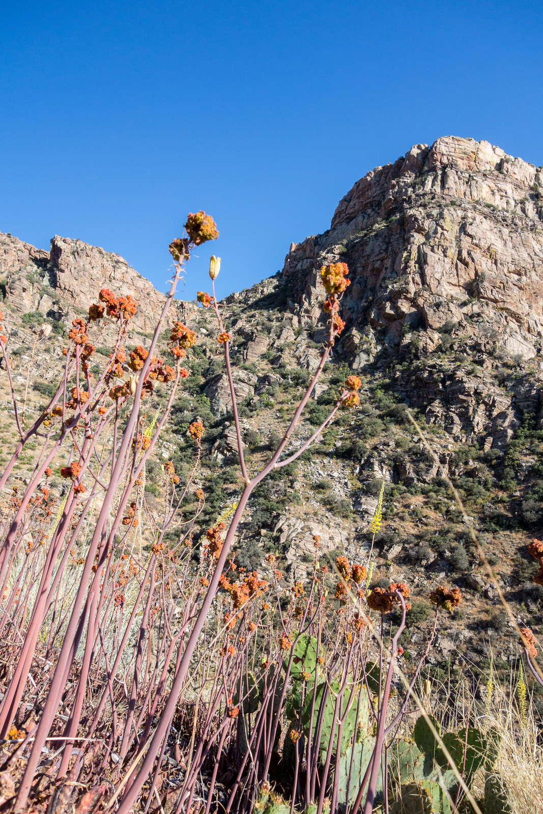
1505 Butterfly Weed
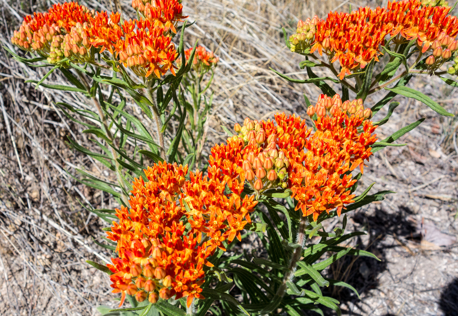
Butterfly Weed along the Sycamore Reservoir Trail. May 2015.
1505 Bear Canyon and the Bear Canyon Trail
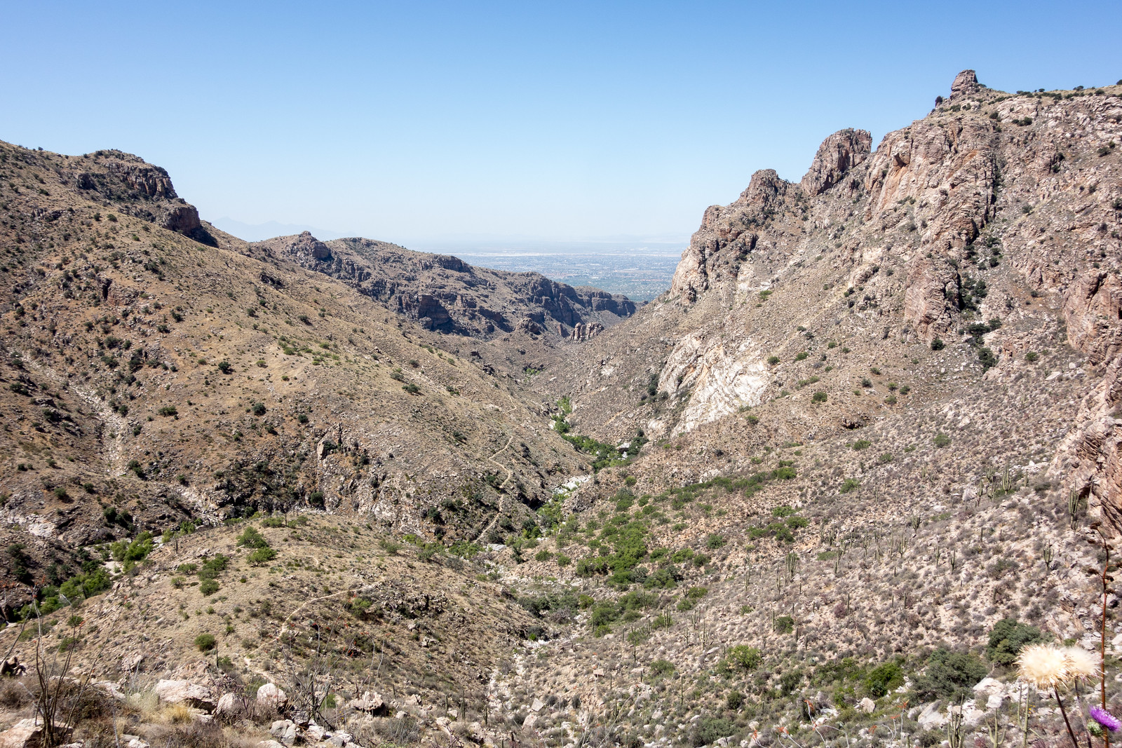
Looking at the Bear Canyon Trail disappearing down towards Seven Falls. May 2015.
1505 The Blue Line
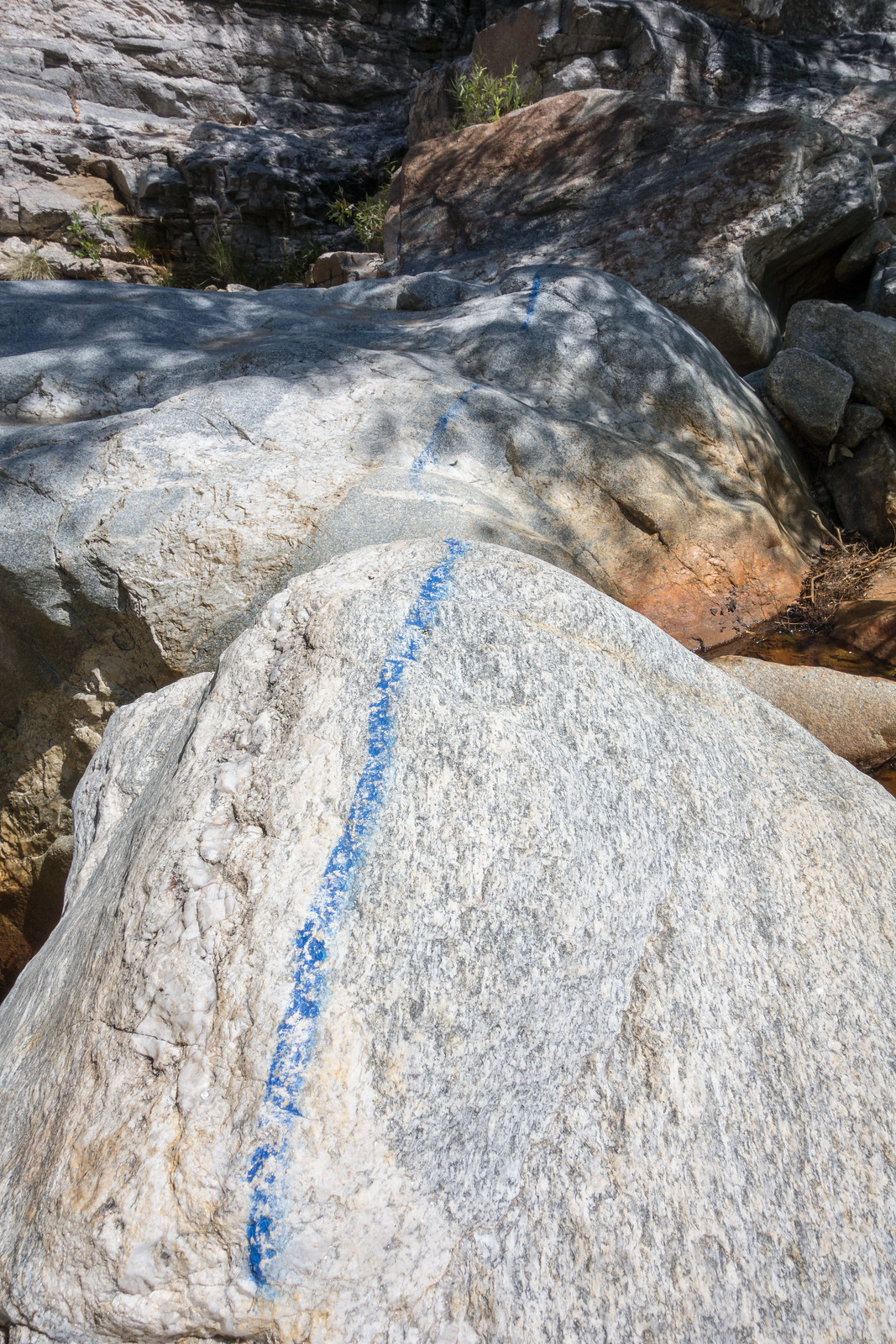
The ‘Blue Line’ – a well known landmark along the Bear Canyon Trail. May 2015.