Views from Barnum Rock and Leopold Point, News – 5/19/2016

Saguaro just off the General Hitchcock Highway. May 2016.

The drive up to San Pedro Vista was slightly slower than normal – both because I couldn’t resist stopping and photographing Saguaros near the highway and because a film crew was set up at Windy Point filling part of the parking lot with trailers and vehicles and occasionally stopping traffic. I didn’t see what they were filming – but the motorcycles in a pop-up tent and drone hovering off the side of the highway on my way down did make me a bit curious…

From Barnum Rock: Green Mountain - center, Guthrie Mountain - left, San Pedro Vista - lower left, Mica Mountain in the Rincon Mountains - right. May 2016.
From Barnum Rock: Green Mountain – center, Guthrie Mountain – left, San Pedro Vista – lower left, Mica Mountain in the Rincon Mountains – right. May 2016.

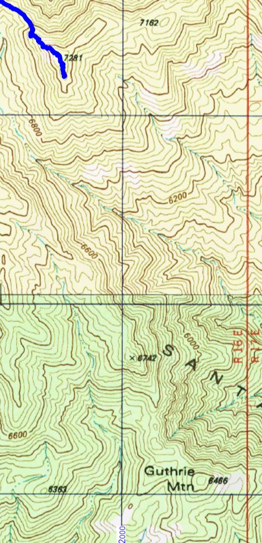
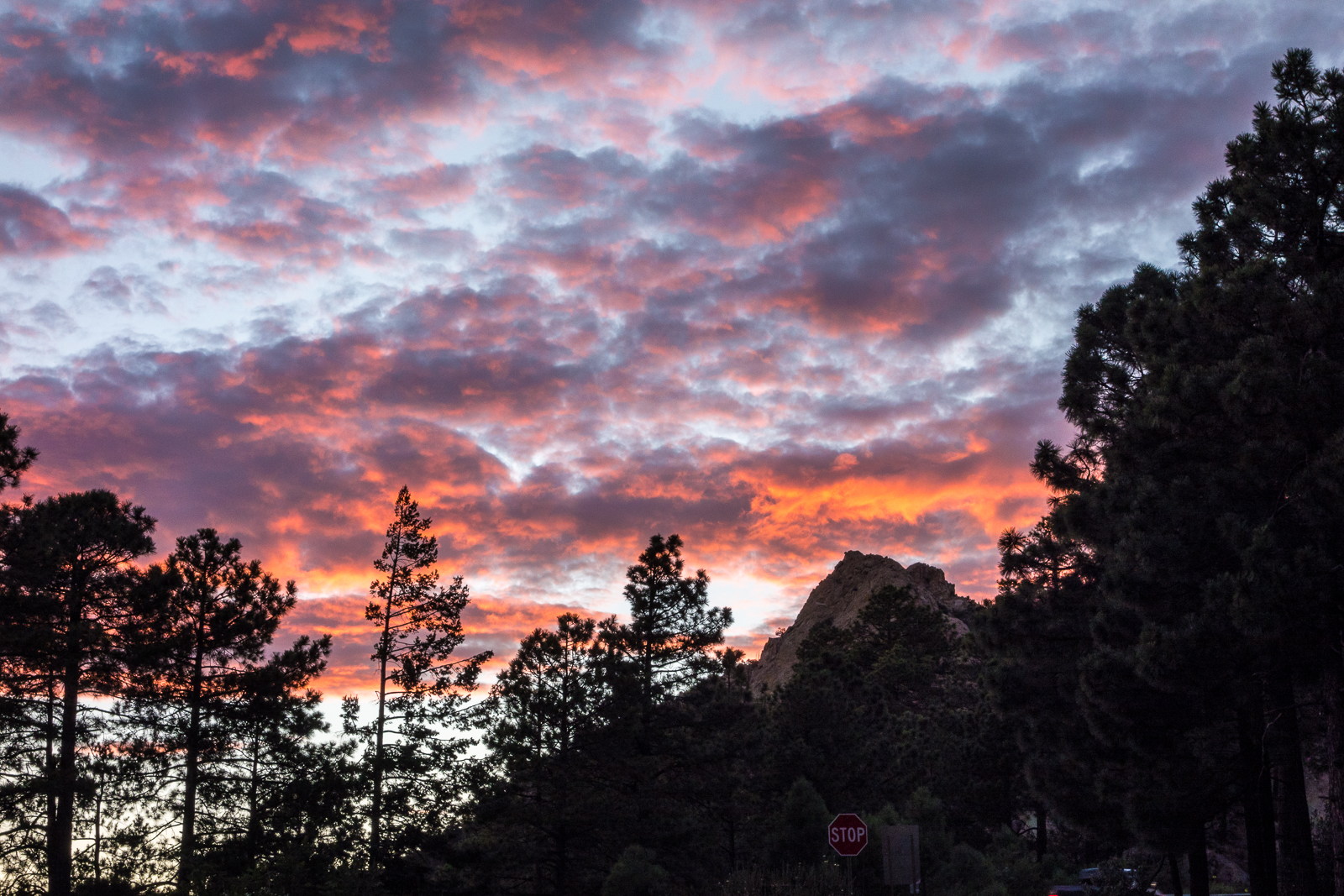
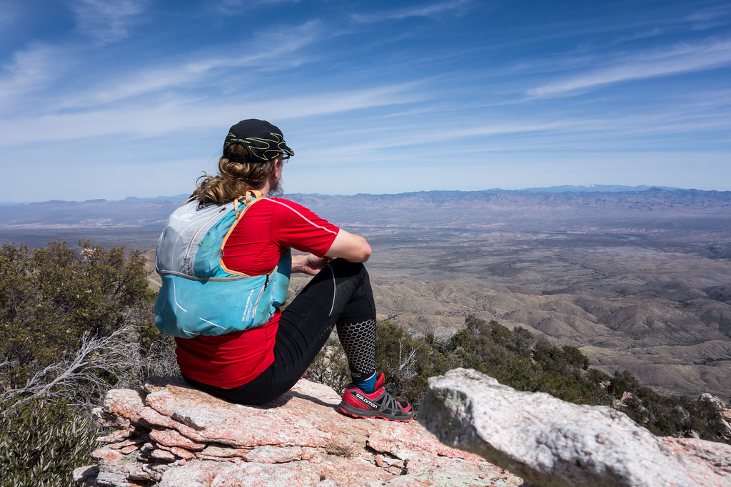
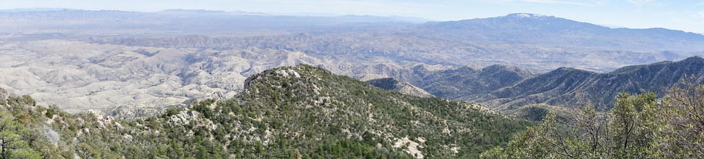
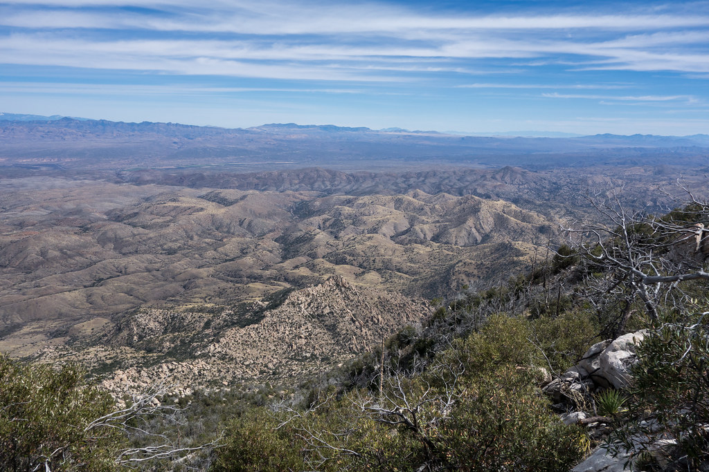
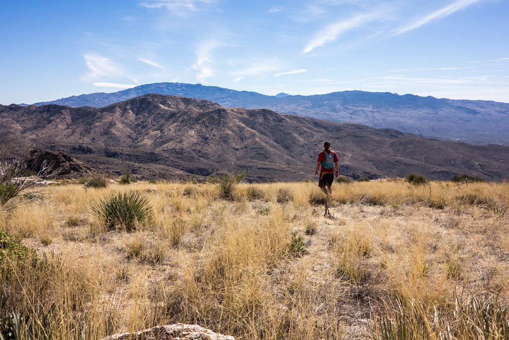
From San Pedro Vista I intended to take the Incinerator Ridge Trail and Kellogg Trail up to Mount Bigelow – my idea was a good workout with great views – but the views quickly won out over the workout – I sat on the top of Barnum Rock and watched the sun and clouds create shapes of light and shadow on Green and Guthrie Mountains and then admired Kellogg Mountain, Mount Bigelow and the San Pedro Valley from Leopold Point.

Kellogg Mountain and Mount Bigelow from Leopold Point near the Incinerator Ridge Trail. May 2016.

The Mount Lemmon Skycenter Facebook page recently featured a number of images of the recent transit of Mercury across the sun – a number of them were collected by Tucson News Now in Mercury images from Mt. Lemmon SkyCenter.

Rider Carol Fontana and her horse Tiki passed thru the Santa Catalina Mountains in May as part of their thru-ride of the Arizona Trail – see more about their journey on SaddleUpAz. The ride is to support and raise awareness of the Prescott Area Shelter Services whose mission is “serve homeless women, families, and veterans by providing temporary shelter, resources, individualized case management, and a pathway to permanent housing.”

Bighorns spotted, photographed, on Pontatoc Ridge – Arizona Daily Star: A local hiker had a great encounter with two Bighorn Sheep on the Pontatoc Ridge Trail!


USGS Guthrie Mountain, 3/9/2016

The Guthrie Mountain Trail ends near Point 7281 – the highest peak in the area – but if you look at the USGS 7.5′ maps you might notice that Point 7281 is not labeled ‘Guthrie Mountain’.

The end of the Guthrie Mountain Trail shown on the USGS 7.5' topo map - note that this point is not labeled 'Guthrie Mountain'.
The end of the Guthrie Mountain Trail shown on the USGS 7.5′ topo map – note that this point is not labeled ‘Guthrie Mountain’.

However if you look around on the USGS 7.5′ maps for the Santa Catalina Mountains you will eventually find a point well to the south of the ending of the Guthrie Mountain Trail labeled ‘Guthrie Mountain’.

The two Guthrie Mountains - Point 7281 where the Guthrie Mountain Trail Ends and Point 6466 where Guthrie Mountain is labeled on the USGS Maps.
The two Guthrie Mountains – Point 7281 where the Guthrie Mountain Trail ends and Point 6466 where Guthrie Mountain is labeled on the USGS Maps.

From the 3rd edition of the [GuideYellowBook/], p. 75:

Guthrie Mountain was named for an early forest supervisor in the southwest and is located on the U.S.G.S. quadrangle map as a 6464-foot-high point on the ridge just east of Molino Canyon. It is the opinion of the authors that this is an error and that Guthrie Mountain is the prominent 7300-foot-high point just north of Burro Canyon and about a mile southeast of Bear Saddle.

While I think that the ending point of the Guthrie Mountain Trail makes the most sense as ‘Guthrie Mountain’ the Guthrie Mountain label on the USGS maps provides an excellent excuse to visit another point on the map…

We approached the USGS Guthrie Mountain from the Molino Basin Parking Area, starting on the Bellota Trail but quickly turning onto the route up Molino Canyon. We hiked several miles up the beautifully rugged canyon bottom to a point west of the USGS Guthrie Mountain and, after some debate about what would be the best way up onto the ridge, we began our ascent. What started as a smart/clean way to the ridge quickly devolved into a slow crawl (occasionally literally) thru the Manzanita – thankfully the ridge was fairly close soon we had our first good look at the USGS Guthrie Mountain.

USGS Guthrie Mountain. March 2016.

 A small trail along the ridge took us quickly to the top – the peak is fairly open on top and there are great views! Not, I think, the ‘real’ Guthrie Mountain – but certainly a beautiful destination.

Piety Hill from the USGS Guthrie Mountain. March 2016.
Looking up towards the 'real' Guthrie Mountain from the USGS Guthrie Mountain - Point 7135, Point 6742 and the 'real' Guthrie Mountain are the highpoints. March 2016.
Looking up towards the ‘real’ Guthrie Mountain from the USGS Guthrie Mountain – Point 7135, Point 6742 and the ‘real’ Guthrie Mountain are the highpoints. March 2016.
Looking across Point 6069 down into Tucson from the USGS Guthrie Mountain - part of Airmen Peak is visible on right edge of the picture. March 2016.
Looking across Point 6069 down into Tucson from the USGS Guthrie Mountain – part of Airmen Peak is visible on right edge of the picture. March 2016.

Brush Corral Shortcut Loop – 7/15/2015

There is basically no end to the great ‘workout’ hikes in the Santa Catalina Mountains – one fun option is a short loop using the Upper Green Mountain Trailhead, Green Mountain Trail, Brush Corral Trail, Brush Corral Shortcut TrailGreen Mountain Trail back to the Upper Green Mountain Trailhead.

Short with a nice bit of elevation, not very heavily used (for much of the loop anyway) and easily extended a few more miles to the Maverick Spring Trail or Guthrie Mountain. 4.5 miles, +/- 1500′ elevation gain/loss.

Fallen leaf in a drainage on the Brush Corral Trail.
Fallen leaf in a drainage on the Brush Corral Trail. July 2015.
Madrone berries along the Green Mountain Trail.
Madrone berries along the Green Mountain Trail. July 2015.
Sunset over Mount Bigelow - from the Green Mountain Trailhead.
Sunset over Mount Bigelow – from the Green Mountain Trailhead. July 2015.

Ridge East of Guthrie Mountain to Point 6925 – 2014/3/5

1403 Rocky Point along the Ridge East of Guthrie
Rocky Point along the Ridge East of Guthrie. March 2014.

Upper Green Mountain Trailhead, Green Mountain Trail, Guthrie Mountain Trail – I have been on the Guthrie Mountain Trail a number of times but today I made time for something new – nearly to the top of Guthrie I take a faint old trail and follow cairns along the ridge east of the Guthrie Mountain – this trail is marked as a route on the ‘SAHC’ map but that seems very optimistic at this point…

I skirt Point 7162 (I had been there last March and tag it on the way back) – the cairns disappear – eventually I reach a small rock formation that seems to be the high point of the ridge – this is my original ‘starred’ destination from the ‘SAHC’ map – but after battling thru the brush along the ridge it seems impossible to turn around without going out to Point 6925 –

1403 Ridge out to 6925

The ridge out to Point 6925 is a bit of a thrash but the views are interesting and worth it – not sure how many times I need to do this hike – but it was certainly fun!

1403 Point 5380 and Donovan Tank Area

flickr – 2014 March Guthrie Ridge to Point 6925 and Maverick Spring

Babad Do’ag Trail and Guthrie Mountain – 2014/2/27

1402 Point 4780 East of Babad Do'ag
Point 4780 East of Babad Do’ag. February 2014.

Point 4780 near the Babad Do’ag Trail… Started the day on the Babad Do’ag Trail, tried to make good time up the trail but did take the time to hike up the spur to Point 4780 (first time!) – saw the first snake I have seen this season and for a few minutes everything seemed like a snake – nice weather, but hits of summer sun and heat…

After the Babad Do’ag Trail I drove to the Lower Green Mountain Trailhead – I had hoped to get to the point marked on the SAHC map near Guthrie Mountain, but I wasn’t fast enough and had to turn around at the ‘main’ summit – windy and almost had to put on my jacket, but not quite!

This was the first day since January that I have pushed myself outside and I definitely felt it – just over 11 miles and 3100′ of gain.

1402 Guthrie Mountain Trail at Bear Saddle

flickr – 2014 February Babad Do’ag Trail, 2014 February Guthrie Mountain