Short with a nice bit of elevation, not very heavily used (for much of the loop anyway) and easily extended a few more miles to the Maverick Spring Trail or Guthrie Mountain. 4.5 miles, +/- 1500′ elevation gain/loss.
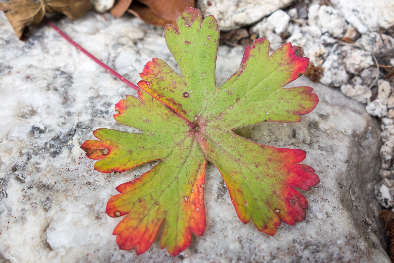
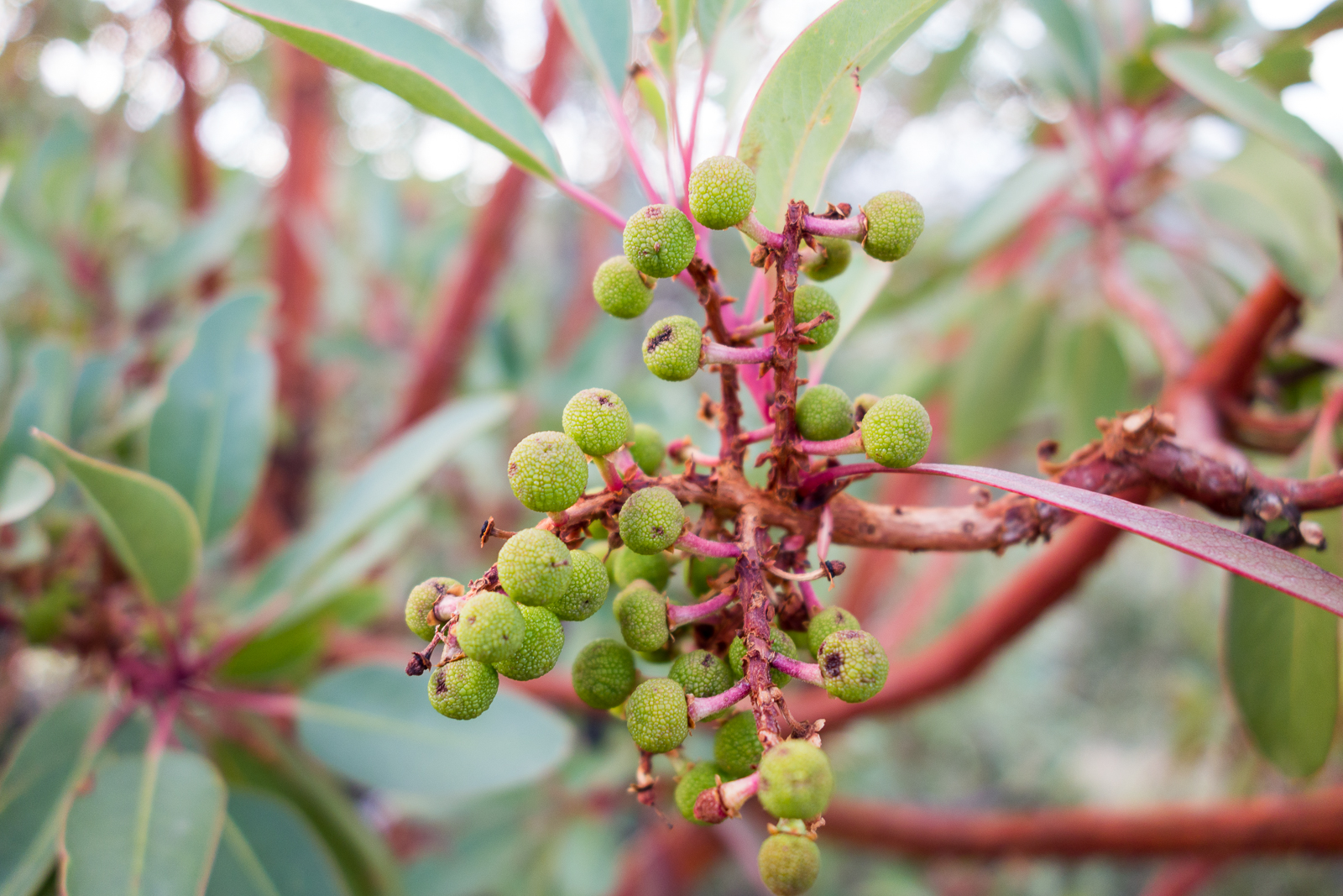
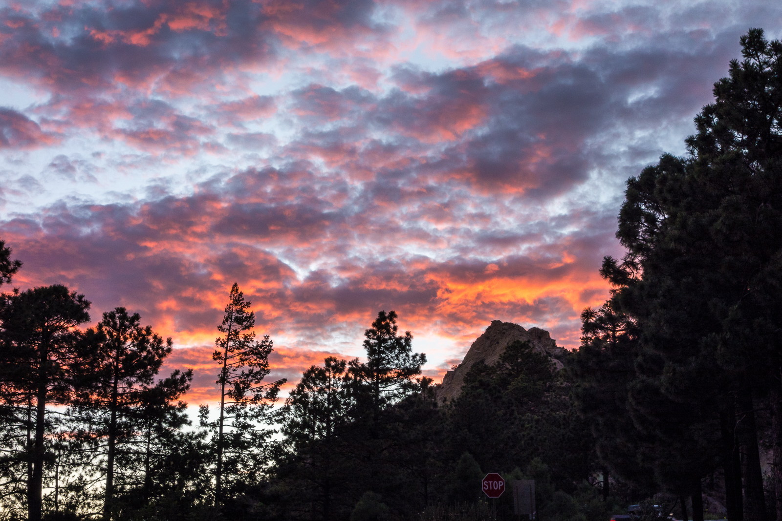
Fallen leaf in a drainage on the Brush Corral Trail. July 2015.Madrone berries along the Green Mountain Trail. July 2015.Sunset over Mount Bigelow – from the Green Mountain Trailhead. July 2015.
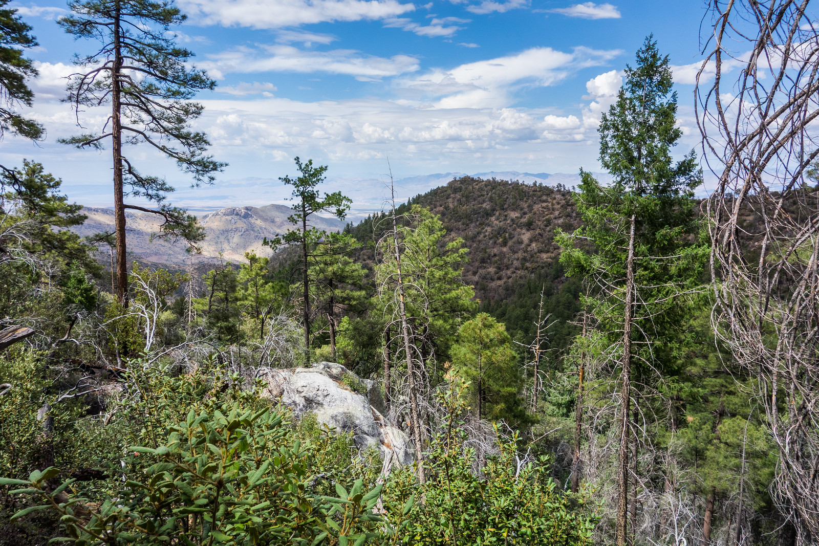
Just a few minutes from the Upper Green Mountain Trailhead the trail reaches a small saddle – from there the official trail heads downhill, but an un-official route breaks off to the south towards the top of Green Mountain. As you climb towards the summit of Green Mountain the route becomes steeper, looser and a bit less obvious (take care!), but you reach the top soon enough…
Near the summit of Green Mountain. July 2014.
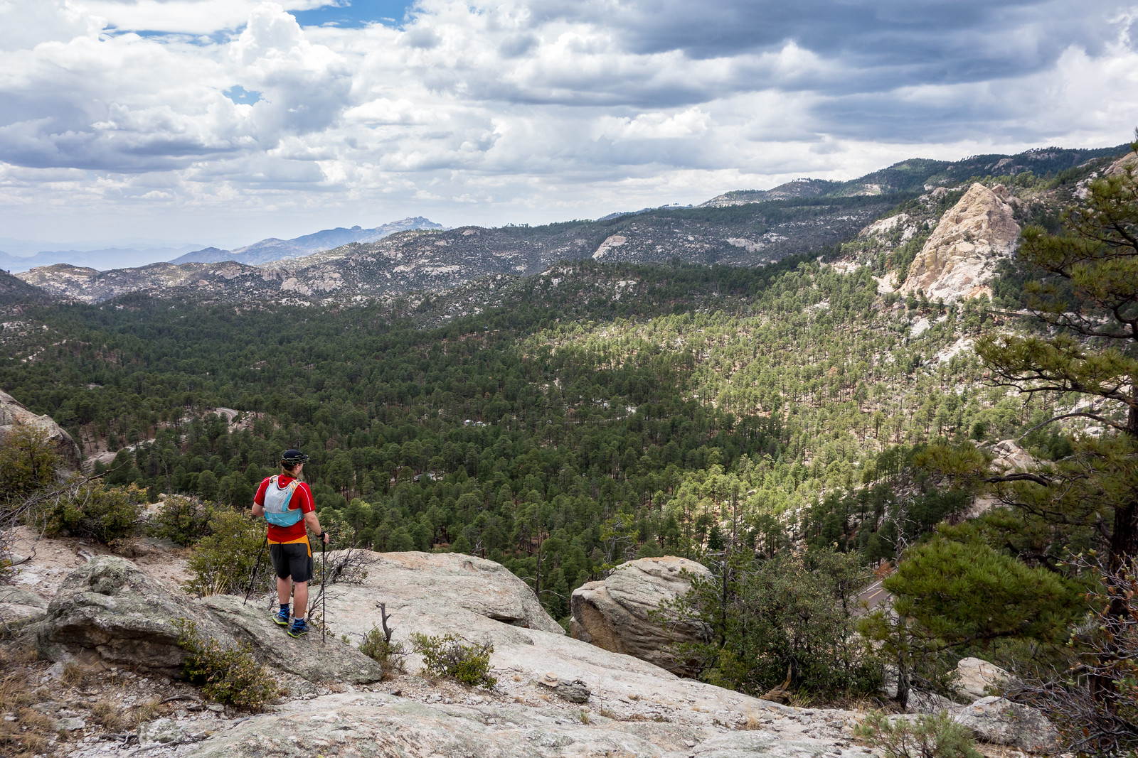
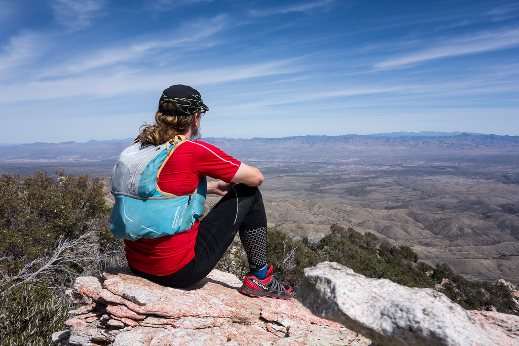
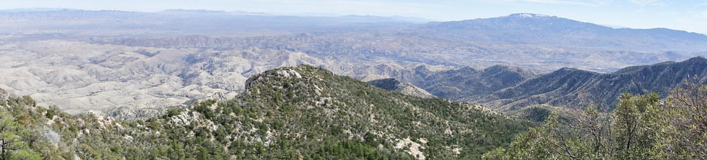
The summit area is flat and open – peaceful perhaps, certainly not dramatic – and it turns out that the most impressive views are from the rocky ledges and outcroppings that you can find on the way up…
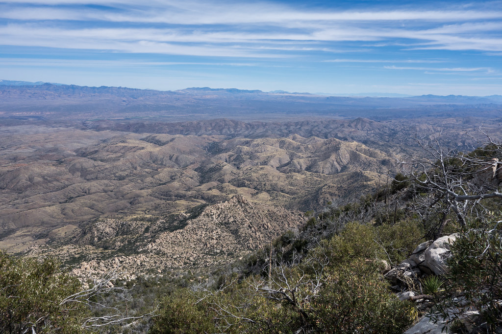
On the way to the summit of Green Mountain there are several rocky ledges that provide great views! July 2014.
After coming down from the summit of Green Mountain I had a little more time – I took the Green Mountain Trail to the Wild Burro Trail and then left the trail to follow a ridge out to Point 6828.
Point 6828 in shadow – from the Brush Corral Trail. July 2014.
Point 6828 is not particularly prominent or impressive, but it’s small summit does provide a great view of the ridge above! (And if you do hike out to Point 6828 save a few minutes to continue just past the summit to a great spot under a beautiful tree…)
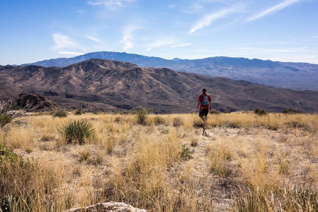
Rocky Point along the Ridge East of Guthrie. March 2014.
Upper Green Mountain Trailhead, Green Mountain Trail, Guthrie Mountain Trail – I have been on the Guthrie Mountain Trail a number of times but today I made time for something new – nearly to the top of Guthrie I take a faint old trail and follow cairns along the ridge east of the Guthrie Mountain – this trail is marked as a route on the ‘SAHC’ map but that seems very optimistic at this point…
I skirt Point 7162 (I had been there last March and tag it on the way back) – the cairns disappear – eventually I reach a small rock formation that seems to be the high point of the ridge – this is my original ‘starred’ destination from the ‘SAHC’ map – but after battling thru the brush along the ridge it seems impossible to turn around without going out to Point 6925 –
The ridge out to Point 6925 is a bit of a thrash but the views are interesting and worth it – not sure how many times I need to do this hike – but it was certainly fun!
Point 4780 near the Babad Do’ag Trail… Started the day on the Babad Do’ag Trail, tried to make good time up the trail but did take the time to hike up the spur to Point 4780 (first time!) – saw the first snake I have seen this season and for a few minutes everything seemed like a snake – nice weather, but hits of summer sun and heat…
After the Babad Do’ag Trail I drove to the Lower Green Mountain Trailhead – I had hoped to get to the point marked on the SAHC map near Guthrie Mountain, but I wasn’t fast enough and had to turn around at the ‘main’ summit – windy and almost had to put on my jacket, but not quite!
This was the first day since January that I have pushed myself outside and I definitely felt it – just over 11 miles and 3100′ of gain.
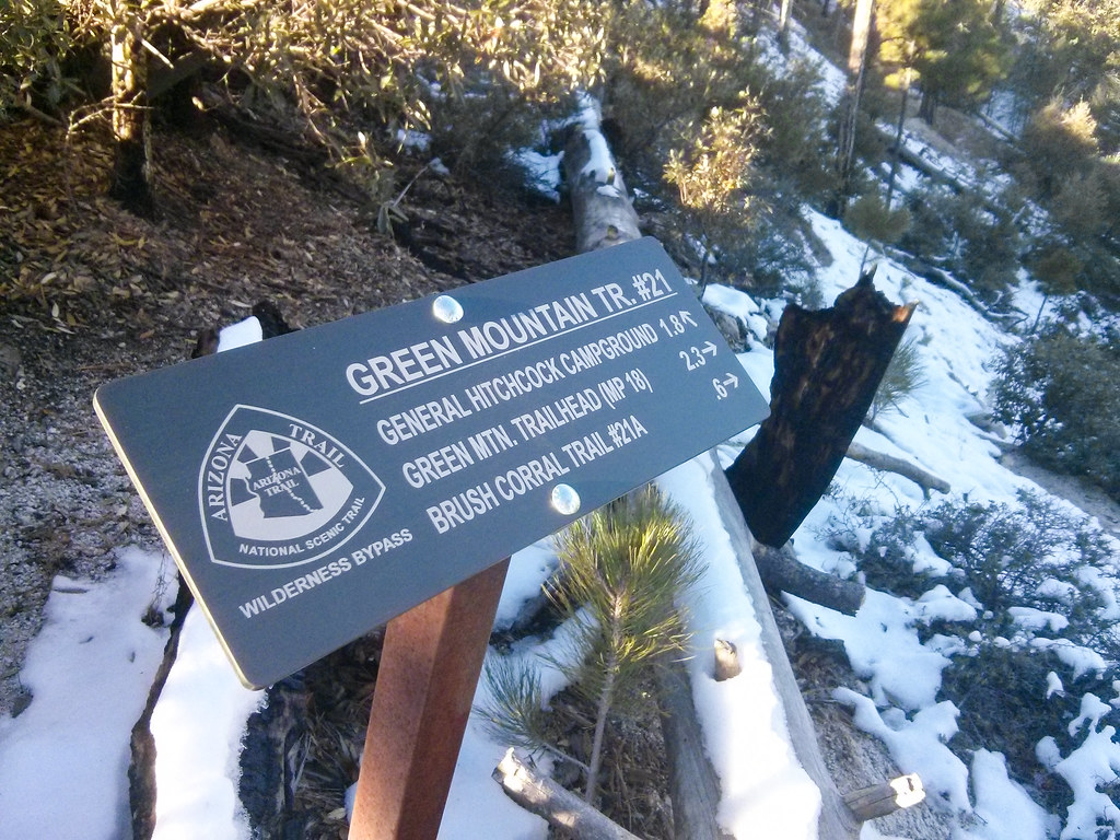
Green Mountain Trail #21 – new AZT Wilderness Bypass trail sign at Bear Saddle. November 2013.
A fun day with Jeremy and Richard on the Green Mountain Trail – we parked at the Lower Green Mountain Trailhead and ran/hiked up to the San Pedro Vista – would have been fun any time, but it was especially fun to run on the snow! New trail signs marking the Arizona Trail Wilderness Bypass!