The off-trail areas and/or unofficial trails used by this hike are currently CLOSED due to Bighorn Sheep Management Area Restrictions that are in place from January 1 to April 30 each year.
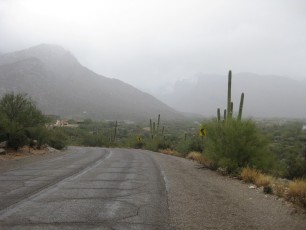
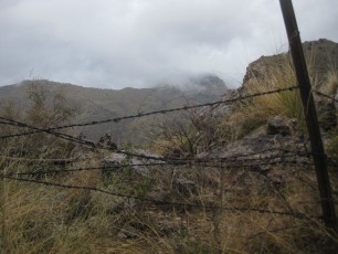
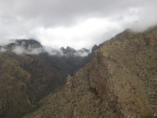
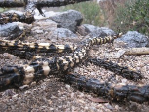
 Looking down from the Rosewood Point Area into Pima Canyon - part of the Pima Canyon Trail is visible down in the canyon. November 2011.
Overview
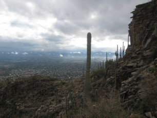
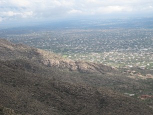
Rosewood Point does not have the classic shape and elevation of Pusch Peak or the dramatic position of Table Mountain – but it rises above the east side of Pima Canyon with tall cliffs and interesting views, a great destination! In the context of other off-trail destinations in the area (Pusch Peak Southeast Ridge Route, The Cleaver, Table Mountain) this is an ‘easier’ hike! But with no trail and pretty of unfriendly desert plants and wildlife there are still plenty of challenges…
Hike Stats
- Out and Back
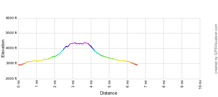
- 6.6 miles
- 1,750' Elevation Gain
- 1,750' Elevation Loss
- Highest Elevation: 4,350'
- Lowest Elevation: 2,900'
Location
- This hike starts/ends at the Iris Dewhirst Pima Canyon Trailhead on the north side of Tucson and is located in the Pusch Ridge Wilderness
- Start/End: Iris Dewhirst Pima Canyon Trailhead (City's Edge Hikes)
Details
- Fee: No
- Dogs: No (Bighorn Sheep Restrictions)
- Bikes: No (Pusch Ridge Wilderness)
- [OffTrailWarning/]
- [pusch-ridge-wilderness-restrictions/]
- [bighorn-management-area-restrictions/]
- [pima-county-trailhead-permit/]
Drive
- 9.5 miles from Speedway and Campbell
- 20 Minutes from Speedway and Campbell
- Vehicle Access: Paved Roads/Passenger Car
Rosewood Point Elevation Profile
Driving Directions
Suggested driving directions from the Speedway and Campbell intersection in Tucson to the Iris Dewhirst Pima Canyon Trailhead:
- Drive West on Speedway (6.2 miles)
- Right on Euclid and continue on 1st Avenue (7.1 miles)
- Continue onto Christie (1.4 miles)
- Right on Magee (0.2 miles)
- The road ends with the Trailhead on the right. This parking lot can be crowded/full on nice weekends/holidays.
[ImageTwoPictureSideBySide imagepathtwo=”/santa-catalina-mountains/rosewood-point/1112-A-great-look-down-to-the-Rosewood-Point-area” captiontwo=”Rosewood Point from the West Side of Pima Canyon. December 2011.” imagepathone=”/santa-catalina-mountains/rosewood-point/1111-Rosewood-Point” captionone=”Rosewood Point with Pusch Peak and the Cleaver in the distance. November 2011.”]
Trail Notes
[CueListWarning]
- 0.0 miles, 2900′: Park at the Iris Dewhirst Pima Canyon Trailhead [Waypoint PC TH] and start hiking the Pima Canyon Trail (the only trail that leaves from this trailhead – the trail leaves from the east side of the parking lot).
- 1.8 miles, 3400′: Cross the drainage that will take you up to the saddle below Rosewood Point, stay on the Pima Canyon Trail.
- 1.9 miles, 3750′: This mileage is approximate – look for a faint path on the right – this area has quite a few faint social paths, many of them will work – you should be able to find fairly easy walking that will take you towards the bottom of the drainage. [Waypoint RP01]
- Cairns help guide you up the drainage – as the drainage turns east look for the easiest/best way to exit the drainage and get up to the saddle.
- At the saddle look for one of several faint trails that will help you work up thru the cliffs
- Once you are above the cliffs there are no more major obstacles – wander around the area and enjoy!
- 3.1 miles, 4385′: Rosewood Point (named on most maps) [Waypoint RP02] – to get to Rosewood Point North continue NW from Rosewood Point (approximately [Waypoint RP03]).
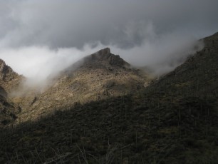
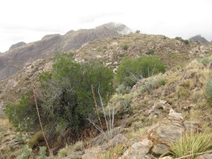
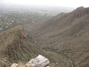
 Hiking up to the Cleaver with the cliffs of Rosewood point across the canyon. November 2013.
Resources
Maps
- [MapGreenTrailsCatalina]
- [MapSahcCatalina]
CAUTION: the gps information in presented below should be considered very rough/approximate after leaving the Pima Canyon Trail, there is no definitive path in many parts of this hike and this is not an absolute reference!
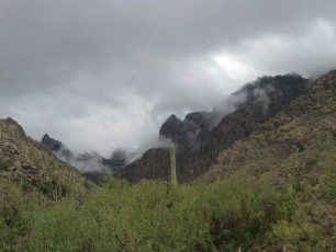
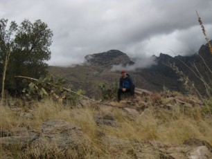
 Sunset on the Pima Canyon Trail - Rosewood Point on the Skyline (left). January 2014.
Pictures
2011 Nov Rosewood Point
Update Notes
- 2014/7/25 – format update
- 2014/4/6 – fixed links, added elevation profile, improved map
- 2014/1/27 – Format update! New pictures, driving directions, overview…