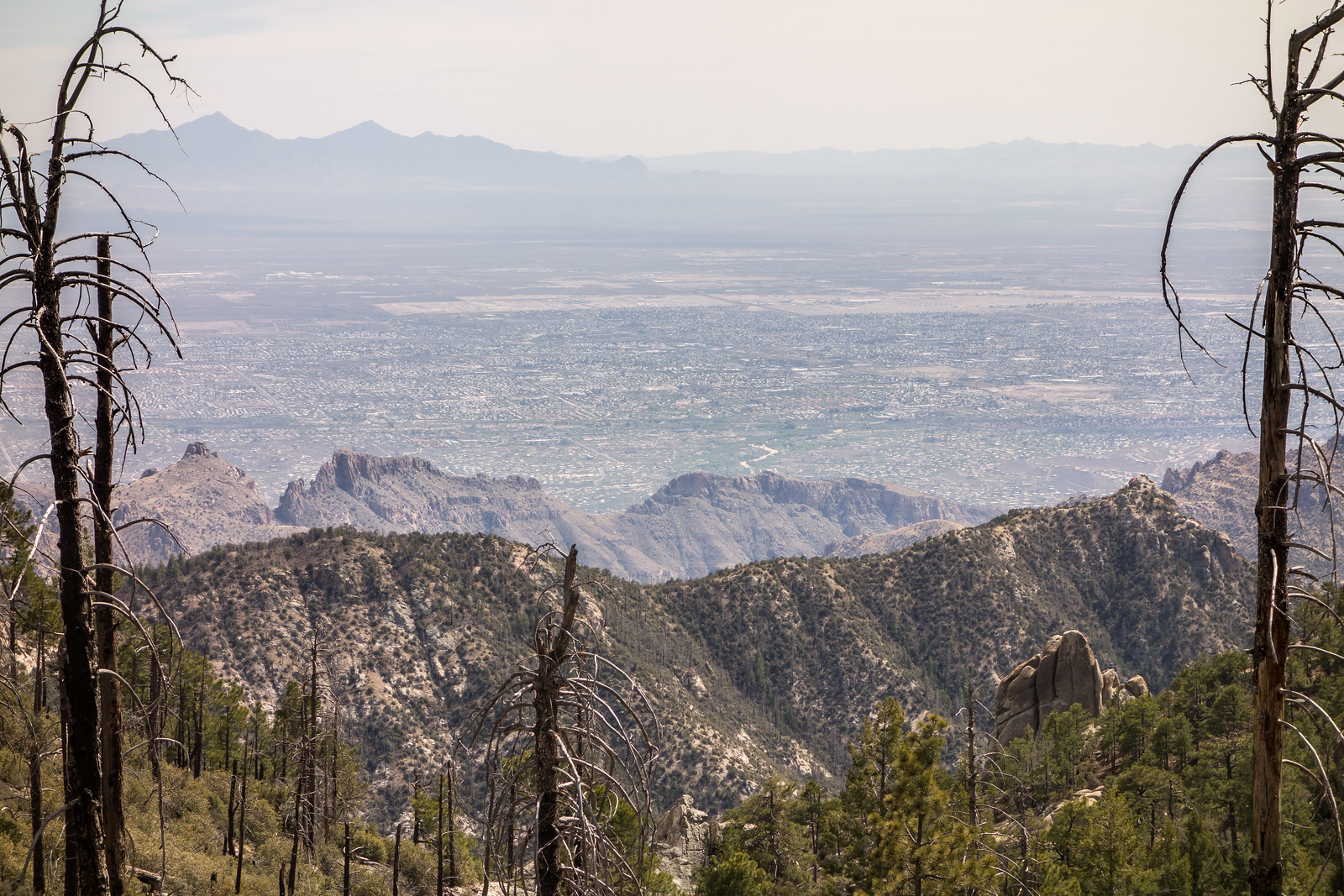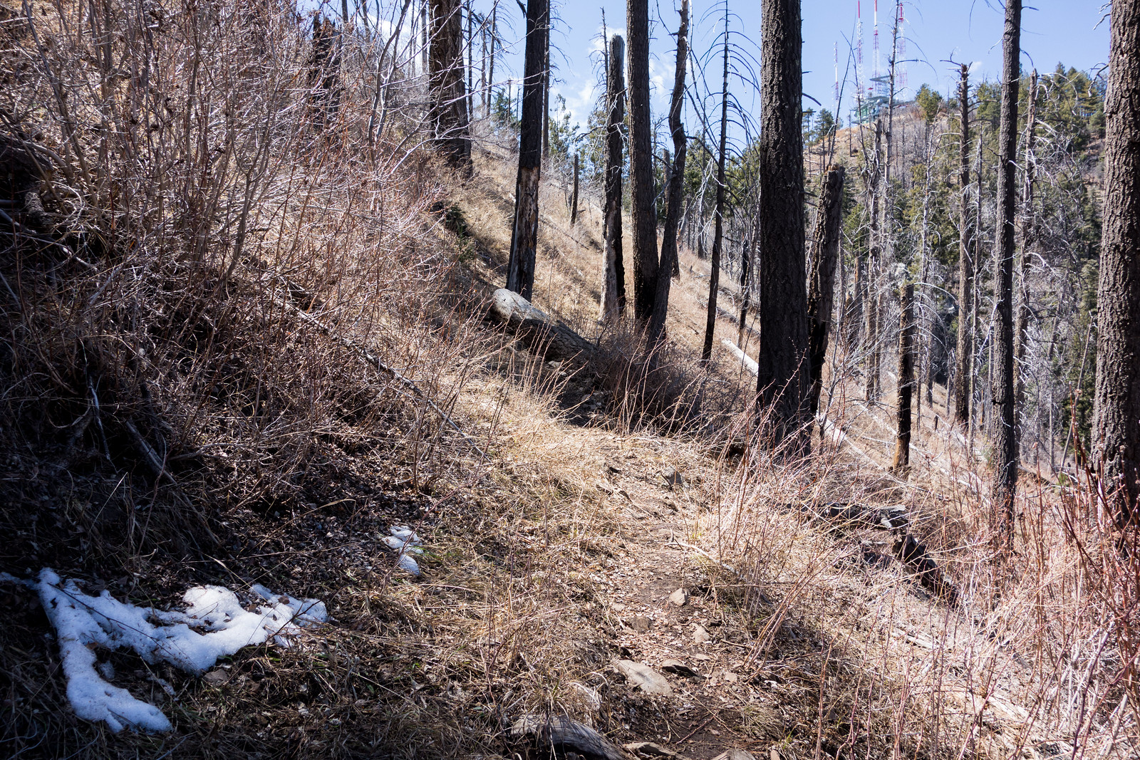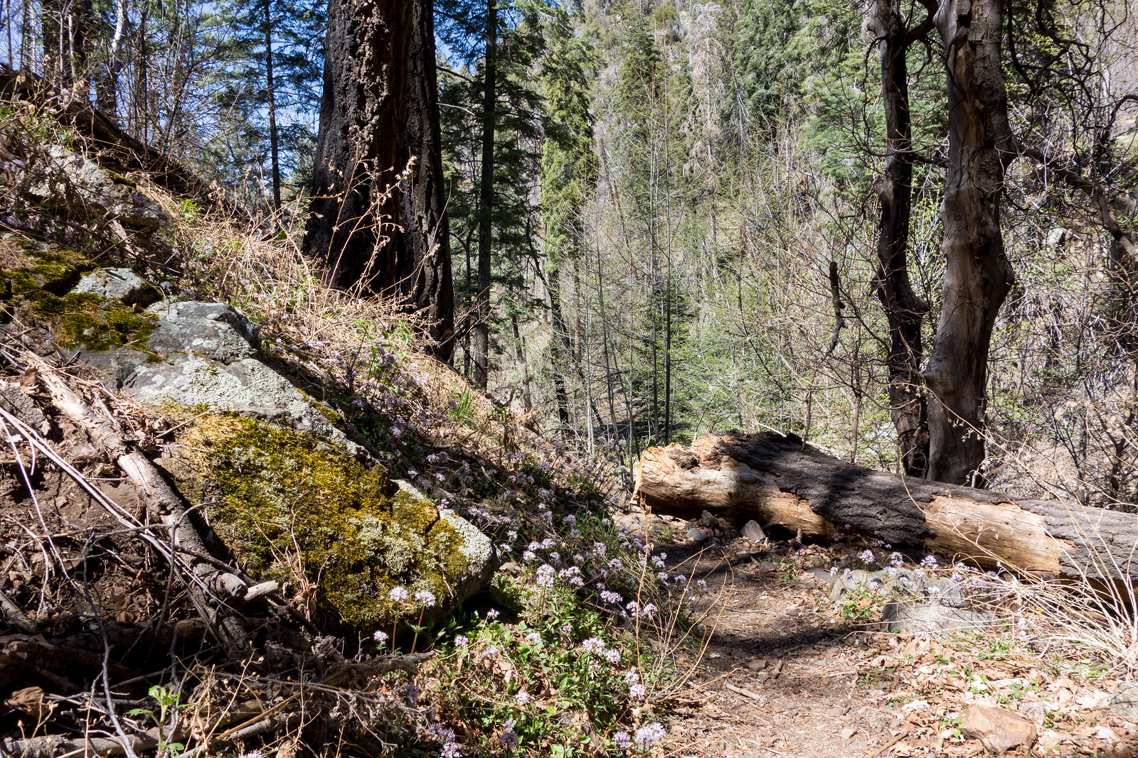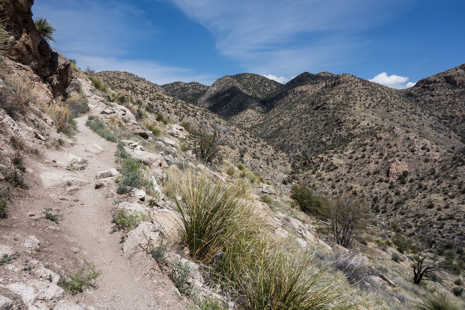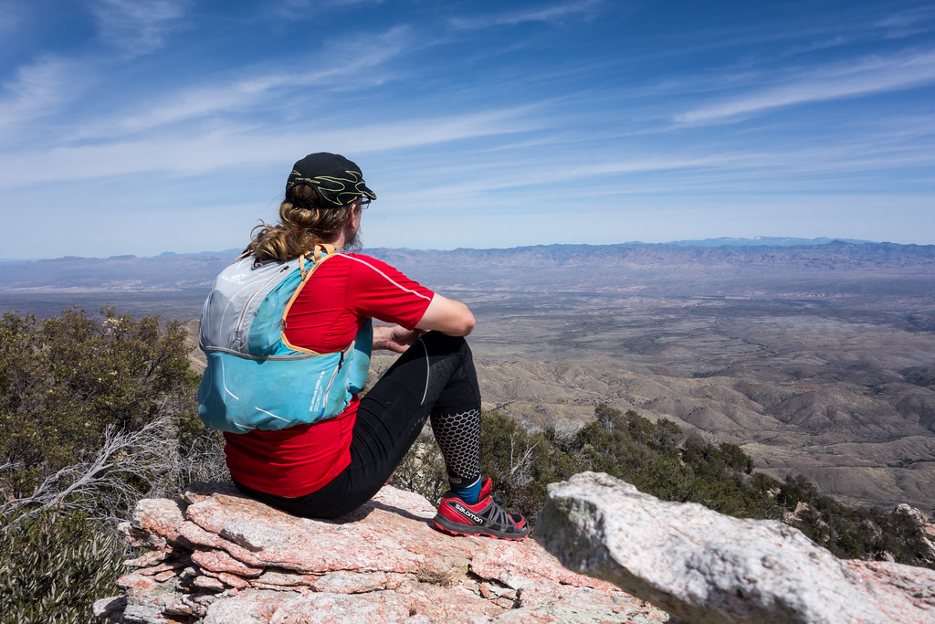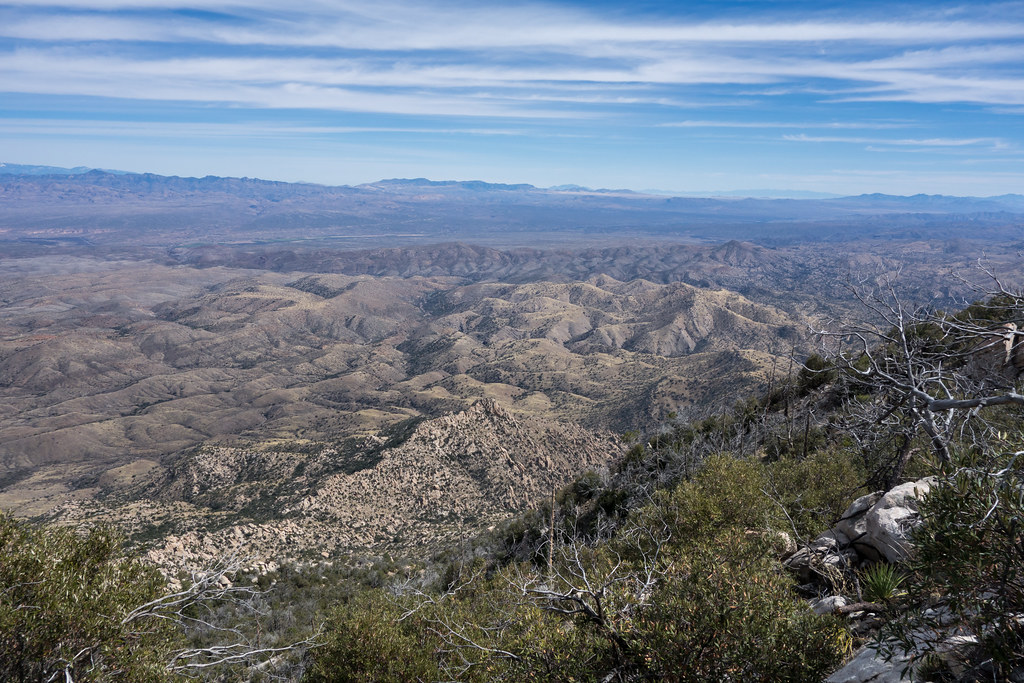
Great weather – Mint Spring (water at the spring!), Marshall Gulch (plenty of water, other friendly hikers), Aspen Trail (great views and new Pines along the trail) and back on the Mint Spring Trail – great weather, but maybe a touch warmer than I thought it would be…
Run
Romero Pass, Romero Canyon Trail – 2014/4/5
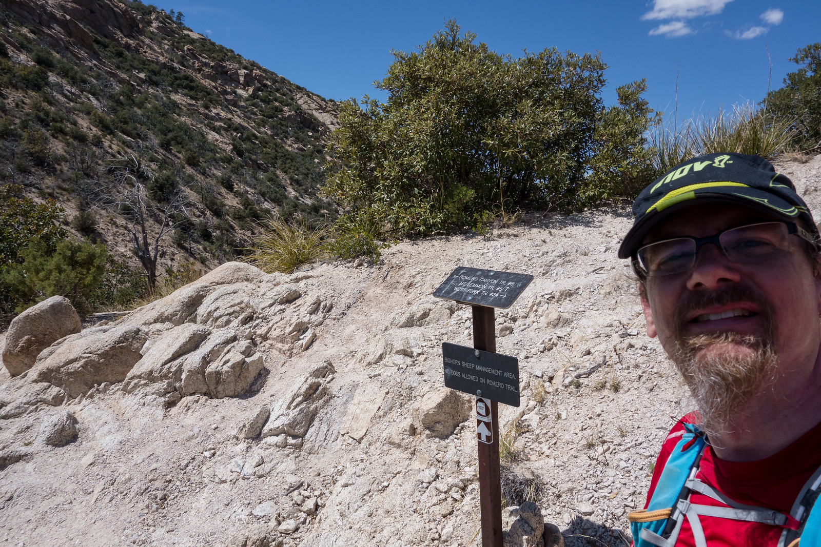
Arriving at Romero Pass took about 2 hours and 40 minutes of hard effort on the Romero Canyon Trail – it only took another 3 or 4 minutes for my friend Richard to appear on the West Fork trail. This was our meeting spot for today – he started at Molino Basin and was about 13 miles into an east/west crossing of the Santa Catalina Mountains.
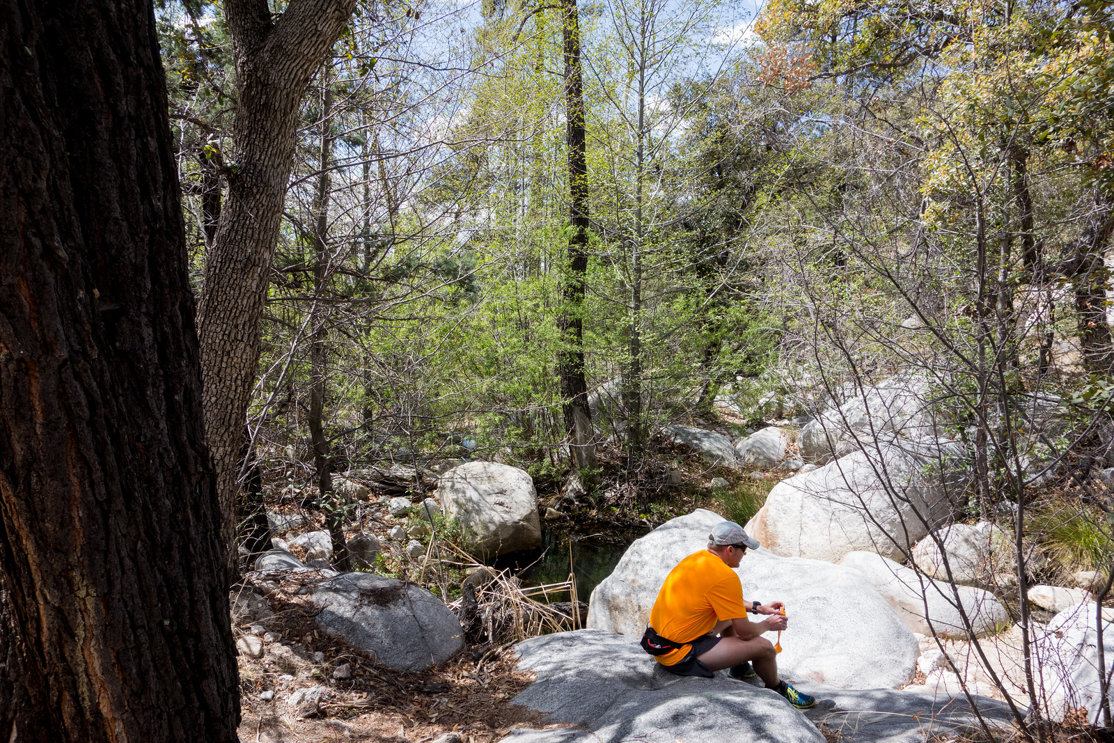
The pass was too windy/chilly to be a nice spot for a break – so after refilling bottles we headed down – eventually taking a break along the canyon – green plants and flowing water!
Alison was also hiking up from Catalina State Park – her small blue figure was hard to spot against the huge walls of the canyon!
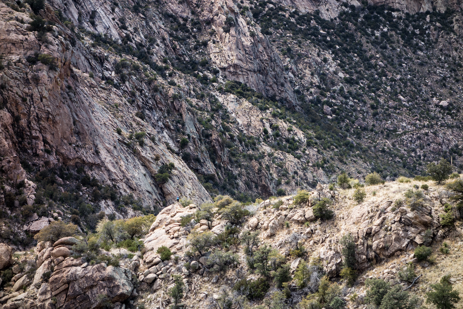
Down, down, down the canyon – beautiful sections of canyon abound above Romero Pools –
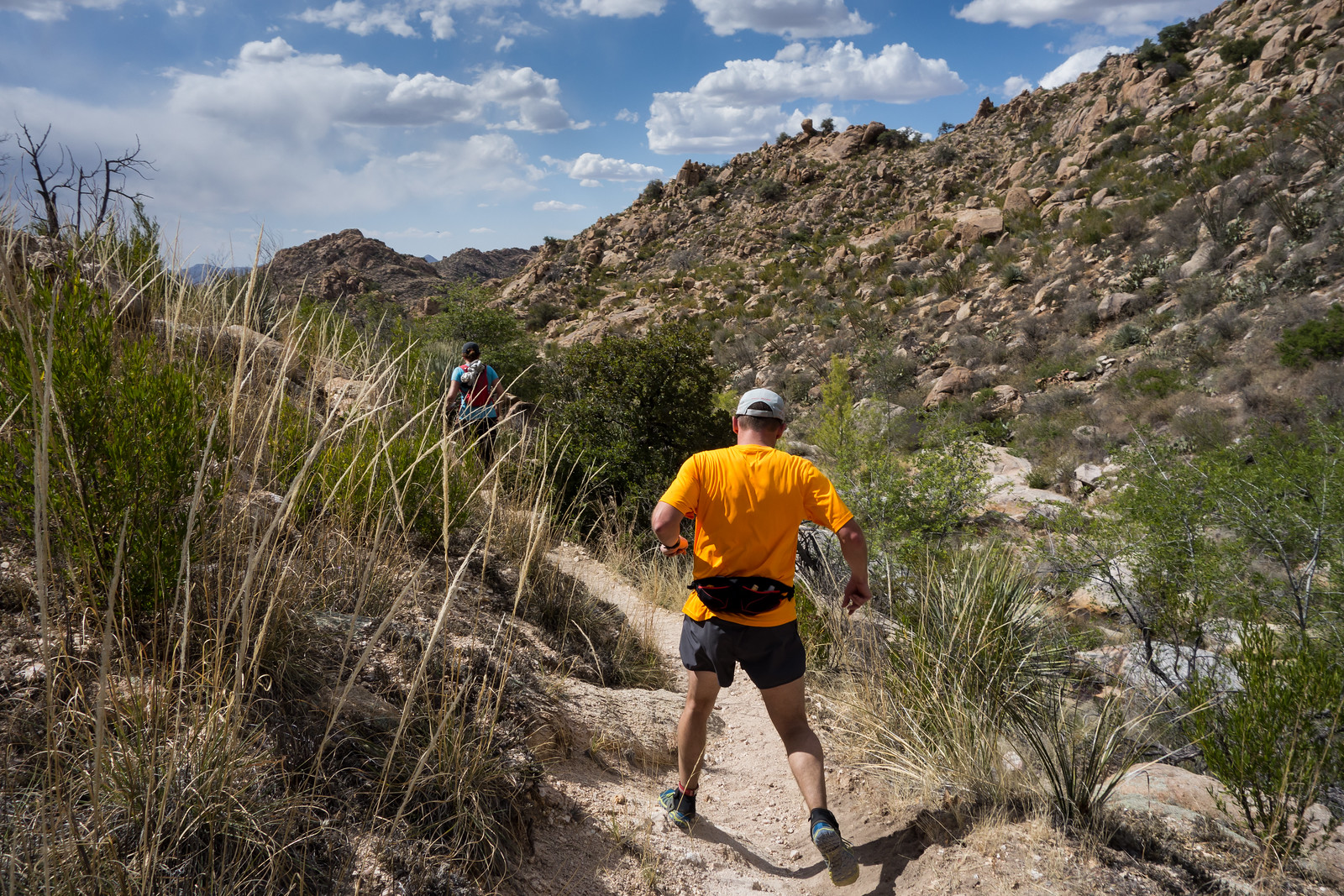
we had all seen other people during the day but until Romero Pools we didn’t see anyone on the descent, after Romero Pools there were quite a few groups headed down – a lovely day to enjoy the trail!
flickr – 2014 April Romero Canyon Trail
Butterfly Trail – 2014/4/5
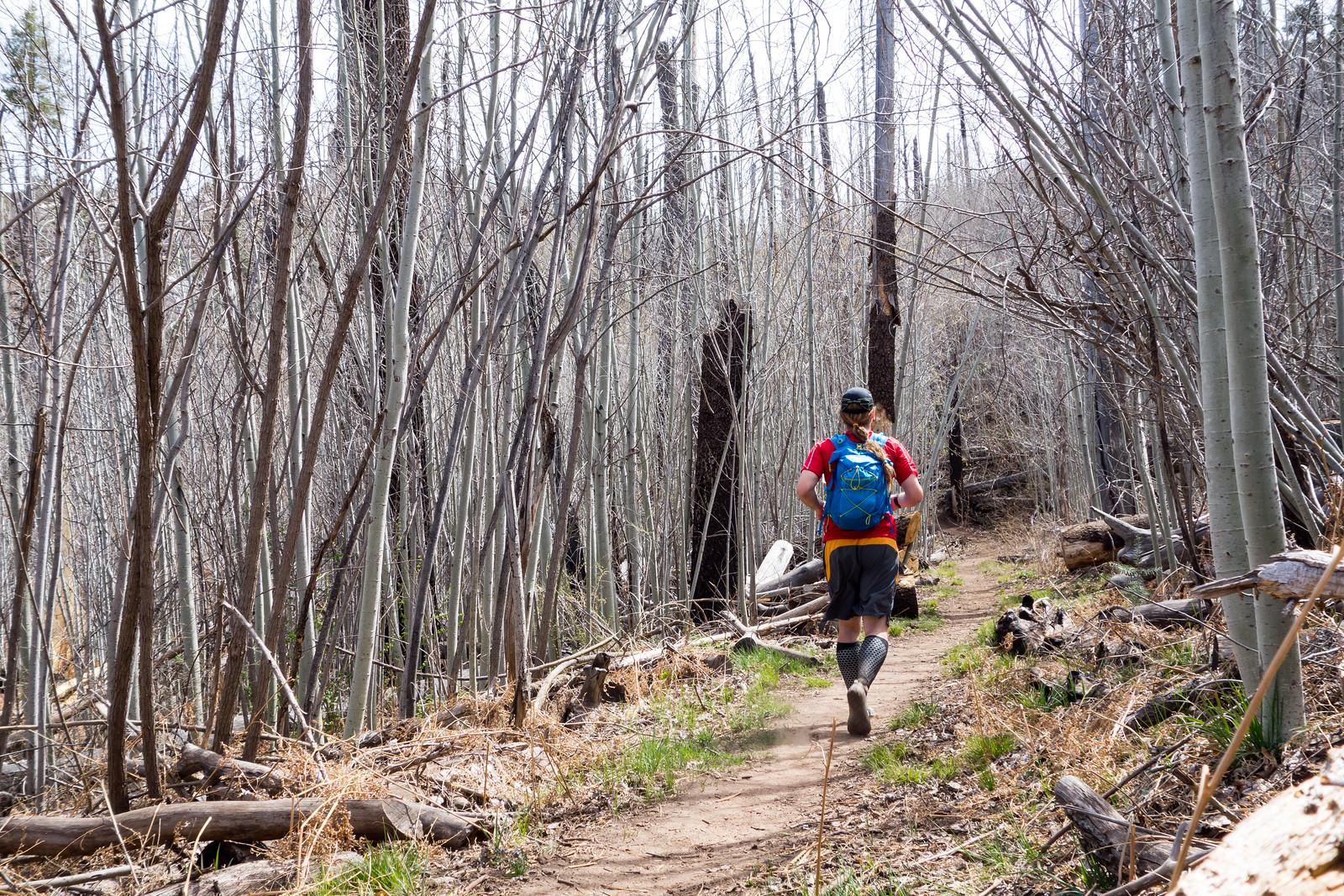
It was bright and sunny – but surprisingly chilly on the Butterfly Trail – even a patch of snow hiding on the side of a hill under Mount Bigelow!
The trail looks like winter but is starting to have hints of the riotous green that will appear later in the year – small flower and green buds – water flowing down Novio Falls –
and views of recent adventures…
Bug Spring Trail – 2014/3/26
Clouds and wind made this a fun day for a run on the Bug Spring Trail – simply joyous to pop up onto a the ridge and feel the wind – and encouraging to see the beautiful recently added signage for the Arizona Trail Wilderness Bypass!
Ridge East of Guthrie Mountain to Point 6925 – 2014/3/5
Upper Green Mountain Trailhead, Green Mountain Trail, Guthrie Mountain Trail – I have been on the Guthrie Mountain Trail a number of times but today I made time for something new – nearly to the top of Guthrie I take a faint old trail and follow cairns along the ridge east of the Guthrie Mountain – this trail is marked as a route on the ‘SAHC’ map but that seems very optimistic at this point…
I skirt Point 7162 (I had been there last March and tag it on the way back) – the cairns disappear – eventually I reach a small rock formation that seems to be the high point of the ridge – this is my original ‘starred’ destination from the ‘SAHC’ map – but after battling thru the brush along the ridge it seems impossible to turn around without going out to Point 6925 –
The ridge out to Point 6925 is a bit of a thrash but the views are interesting and worth it – not sure how many times I need to do this hike – but it was certainly fun!
flickr – 2014 March Guthrie Ridge to Point 6925 and Maverick Spring