Sunset and Marshall Gulch Trails – 2014/6/23

1406 Sunset Trail
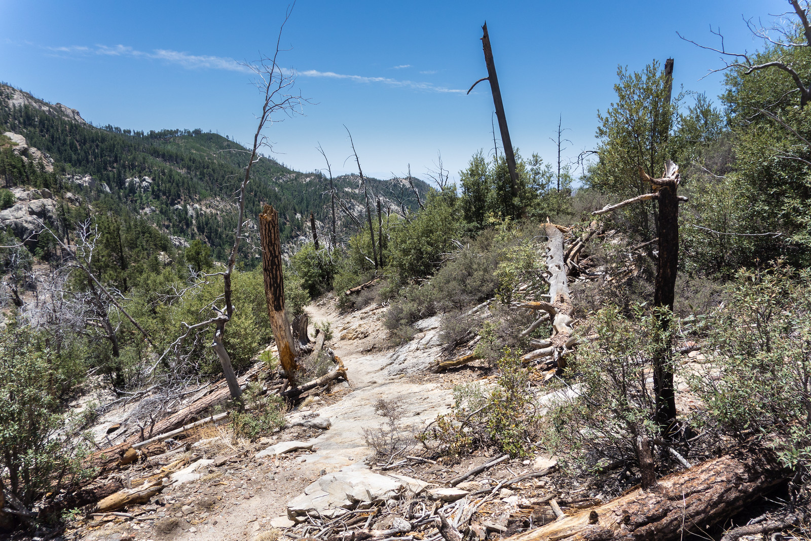
A clear sunny day on the Sunset Trail – nice contrast to my last hike here in a March winter storm… June 2014.

In March of this year I visited the Sunset Trail during a beautiful winter storm – today it was all sun with hardly a cloud in the sky! The Sunset Trailhead was busier than I expected – it was great to see so many people on the trail. I enjoyed the trees, the views, the water in Marshall Gulch and all of the green!

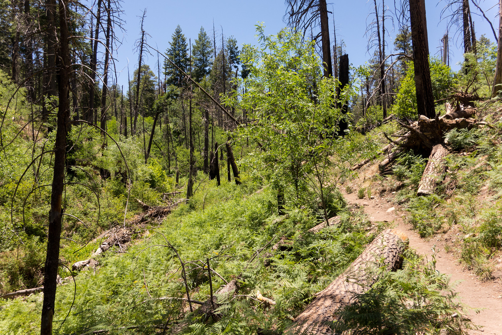
1406 Ferns on the Marshall Gulch Trail
Ferns and Green on the Marshall Gulch Trail! June 2014.


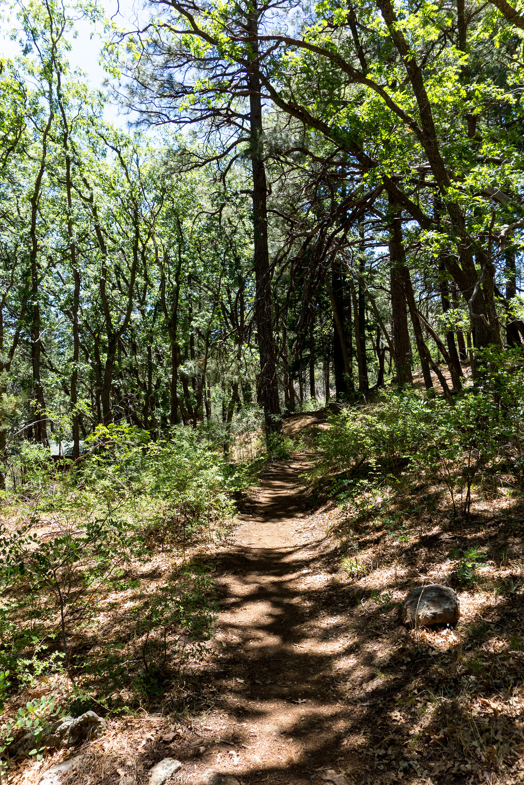
1406 Trees and Shade near the start of the Sunset Trail
Trees along the Sunset Trail – both the Sunset and Marshall Gulch Trails have sections of big trees and more open sections cleared by fire. June 2014.

Point 4831 (Weathertop) and Point 4773 (The Ruins) – 2014/6/22

Southeast, and above, the Molino Canyon Overlook there is an impressive ridge – I have been up to the ridge a number of times to climb at The Ruins, but had never spent any time hiking or exploring in the area… Arriving at the Molino Canyon Overlook at 5pm meant we had just over 2.5 hours to get to Point 4831 and see the sunset on this long summer day – plenty of time for several breaks in the shade along the steep climber’s trail to the ridge.

1406 The Ruins to Point 4831
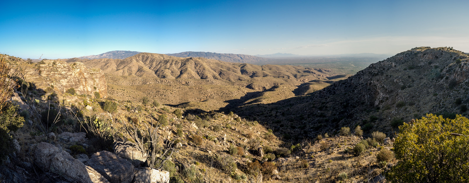
A view from the ridge – climbing area ‘The Ruins’ on the left, Agua Caliente Hill center, Point 4831 on the right (above the Weathertop climbing area). June 2014.

Ridge – Point 4773 (above the Ruins) – and then on to Point 4831. The trail is – mostly – easy to follow, only occasionally disappearing. The top seems so close! False peak… We continue along the path, under Point 4831 to a great rocky ledge with an old fire ring – a nice spot to sit and enjoy the sunset.

1406 Faint Clouds in the Sunset
Sunset from a rocky ledge below Point 4831. June 2014.

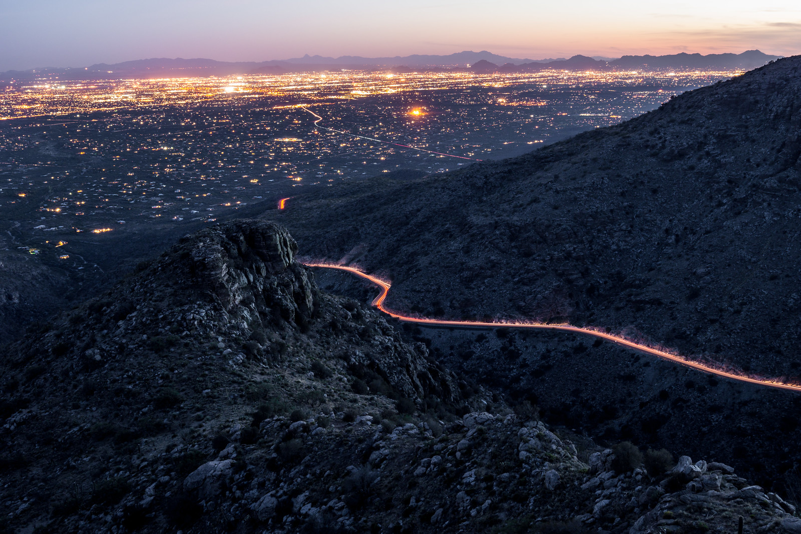
We watch the cars and city light as it gets dark – 

1406 Fading Light from near Point 4831
Watching the fading light – car lights on the highway and the Tucson City Lights in the background. June 2014.

and eventually turn on our headlamps and head down… 3.5 miles, 1000′ of elevation gain/loss – there is a well used climber’s trail from the Molino Canyon Overlook up to the ridge but note that it is not an official trail.

News – Oro Valley Fire, Radios, Rescue…

New radios a life saver when it comes to dead spots on Mt. Lemmon – KGUN9 – New radios for the Mount Lemmon Fire Department that will improve coverage!

Oracle brush fire destroys house, sheds – Arizona Daily Star – 20 acres, 1 house and several sheds burned in the fire.

Oro Valley council discusses Steam Pump Ranch plan – The Explorer Newspaper – The Oro Valley town council continues to discuss the plan for the Steam Pump Ranch – no decision was reached.

Catalina State Park offers folk concert – Arizona Daily Star – “The folk band Fried Squirrel will perform at Catalina State Park at 6:30 p.m. July 5.” – there will be free popcorn and a raffle for a Jeep Cherokee ($25, prize awarded in November).

Hikers Rescued in Romero Canyon – PCSD – and a picture from the Southern Arizona Rescue Association – The hikers lost the trail and ended up in Romero Canyon where they eventually called for a rescue.

Bighorn News and Update

THE BIGHORN’S DILEMMA BY MELISSA L. SEVIGNY – This is a VERY interesting article with a bit of insight into the advisory board that Arizona Game and Fish created for this project. In addition to recounting many details of the project the article emphasizes the importance of the diverse groups represented on the advisory board working together and presents a hopeful message that this cooperation will be a model for future projects. With any complex project it is nearly impossible to write an article that represents all view points – for me the missing/under-reported piece of the puzzle is the communication/collaboration with the public. Perhaps it is fair to say that the public component is not the main thrust of this piece… But for me – a member of the public with no ‘insider’ access or information to AZGF or any of the advisory board groups – this is critically important when talking about collaboration/cooperation and from my point of view declaring this project – with the closed meetings and decisions to limit information distribution to the public – a successful model is disappointing perhaps even cause for concern.


Project status update for 5/26 to 6/8 (all updates are currently available here) – there are several very interesting maps included in this update showing some of the Bighorn population in the southern section of the Santa Catalina Mountains overlapping a number of popular trails – this seems like exciting news for hikers who may have a chance to see the sheep. Note that the document continues to mention the trail restrictions – which are designed to help protect the sheep during the lambing season, but are no longer in effect.

Plans on track to reintroduce 30 more Bighorn sheep, no deaths reported in two months – Explorer News – An article about the possible next planned release.

News – Accident, Rescue…

Possible rollover accident on Mt. Lemmon Highway – KGUN9 – auto accident at the base of the mountain.

Dry Conditions Trigger Increased Fire Restrictions in Southeastern Arizona – two highlights for hikers (more details in the link): ‘Building, maintaining, attending, or using a fire, campfire, charcoal, coal, or wood stove including fires in developed campgrounds or improved sites’ is prohibited, ‘Pressurized liquid or gas stoves, lanterns and heaters possessing shut-off devices are allowed. When using a portable stove, make sure the area is clear of grasses and other fine fuels’.

Heat-exhausted hikers rescued from Catalina State Park – KGUN9.

Mother, 3 children rescued on Mount Lemmon – Arizona Daily Star, Mother and Children Rescued on Mount Lemmon – Pima County Sheriffs Department – A rescue on the Brush Corral Trail.

Chemical spill on Catalina Highway – Arizona Daily Star – Muriatic acid was reported as the chemical involved, located at the intersection of Houghton Road and the Catalina Highway.

Mt. Lemmon Sky Ride – Explorer News – “The Mt. Lemmon Ski Valley ski lift is open as a Sky Ride, Thursdays through Mondays, during the summer. The Sky Ride to the summit and back takes about one hour, and travels from 8,200 feet in elevation to 9,100 feet in elevation.”