Author: Charles Miles
Heavy Rains and Bighorn Sheep Reintroduction Project Update
The Bighorn Sheep Reintroduction Project Update Status update for 7/7 to 7/20 is now available (all updates are currently available here). Interesting details:
- 13 of the remaining 14 collared sheep are known to be alive; one of the collars maybe malfunctioning.
- The lambs were last observed 4-6 weeks ago and are assumed to be doing well.
- Researchers are planning to use the Cox proportional hazards (PH) model to help them examine the influence of different factors on sheep mortality. Horizontal visibility is mentioned as an important factor in mountain lion predation and a variable that the researchers would like to collect data on – possibly using volunteers.
From the latest update: “While the methods for measuring [horizontal visibility] are pretty straightforward, the challenge for our research team will be reaching all the necessary locations, so we may be calling for volunteers to help us in the near future! So if you like to hike in the Catalinas and want to follow in the footsteps of a bighorn sheep or two, there may soon be an opportunity to be involved in our ongoing research!”
A number of articles about the summer storm and heavy rains yesterday:
- Woman nearly hit by lightning – KVOA New 4 Tucson – A woman car-camping in the Mount Bigelow area is knocked down by a nearby lightning strike.
- Monsoon storm brings lightning, heavy rain and mudslides to Mt. Lemmon – KVOA New 4 Tucson – Another lightning mention but also briefly mentions the rock and mud slides impacting the highway.
- Severe weather causes rock slides on Mt. Lemmon – KGUN9 – Reports rock slides and water running across the highway.
- Power restored to most customers following storm – Arizona Daily Star – This leads off with a great picture of a section of the Catalina Highway covered in mud! The article also mentions that the Palisade Ranger station received 1.5″ of rain while none was reported at the Airport.
- Highway Reduced to 1 Lane – Pima County Sheriff – from yesterday “Catalina Highway is down to one lane due to rock slides from mile post 9 to 16. Use caution and try to stay out of the area. There is no estimate on time for when the road will be fully open.”
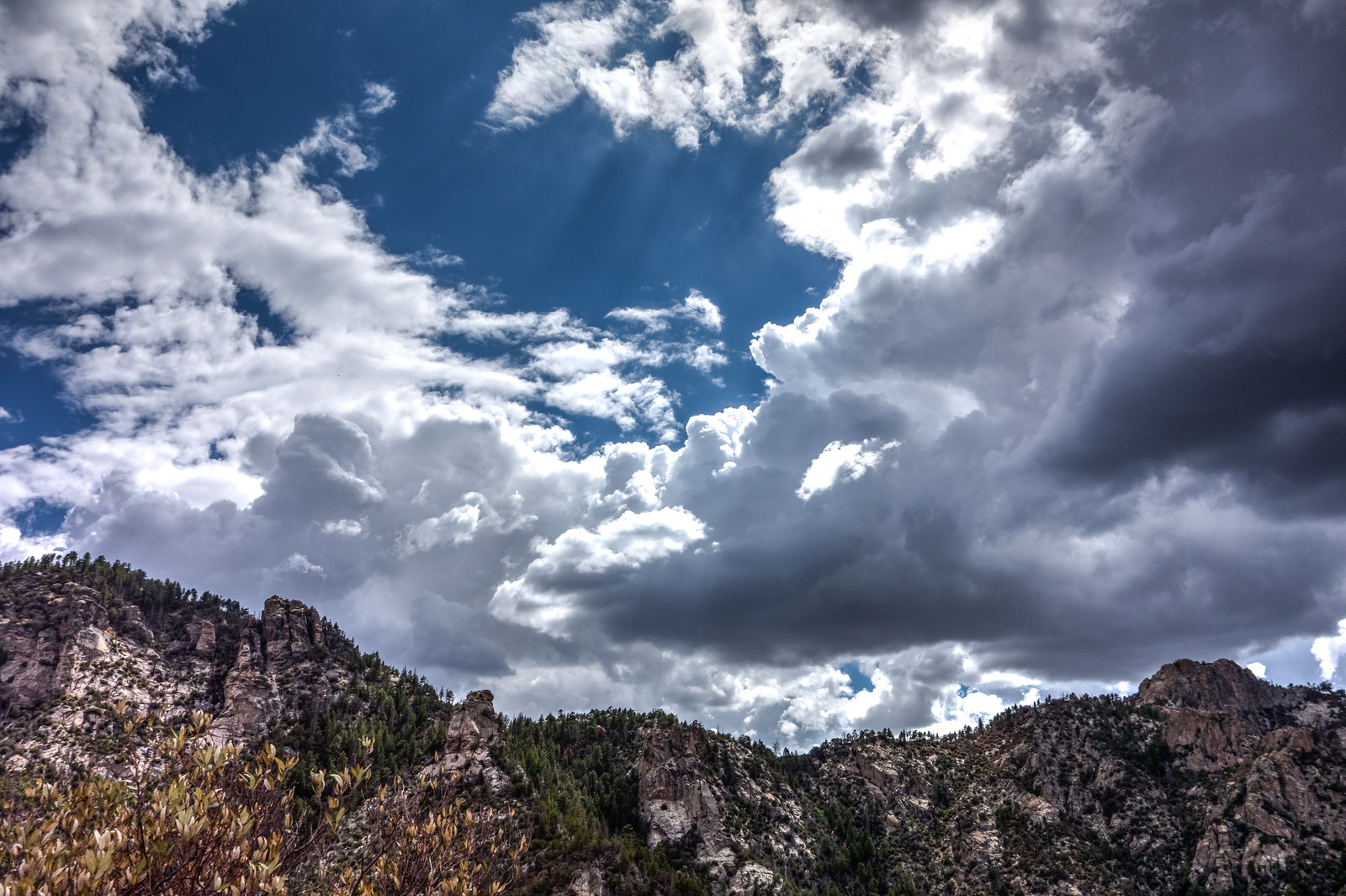
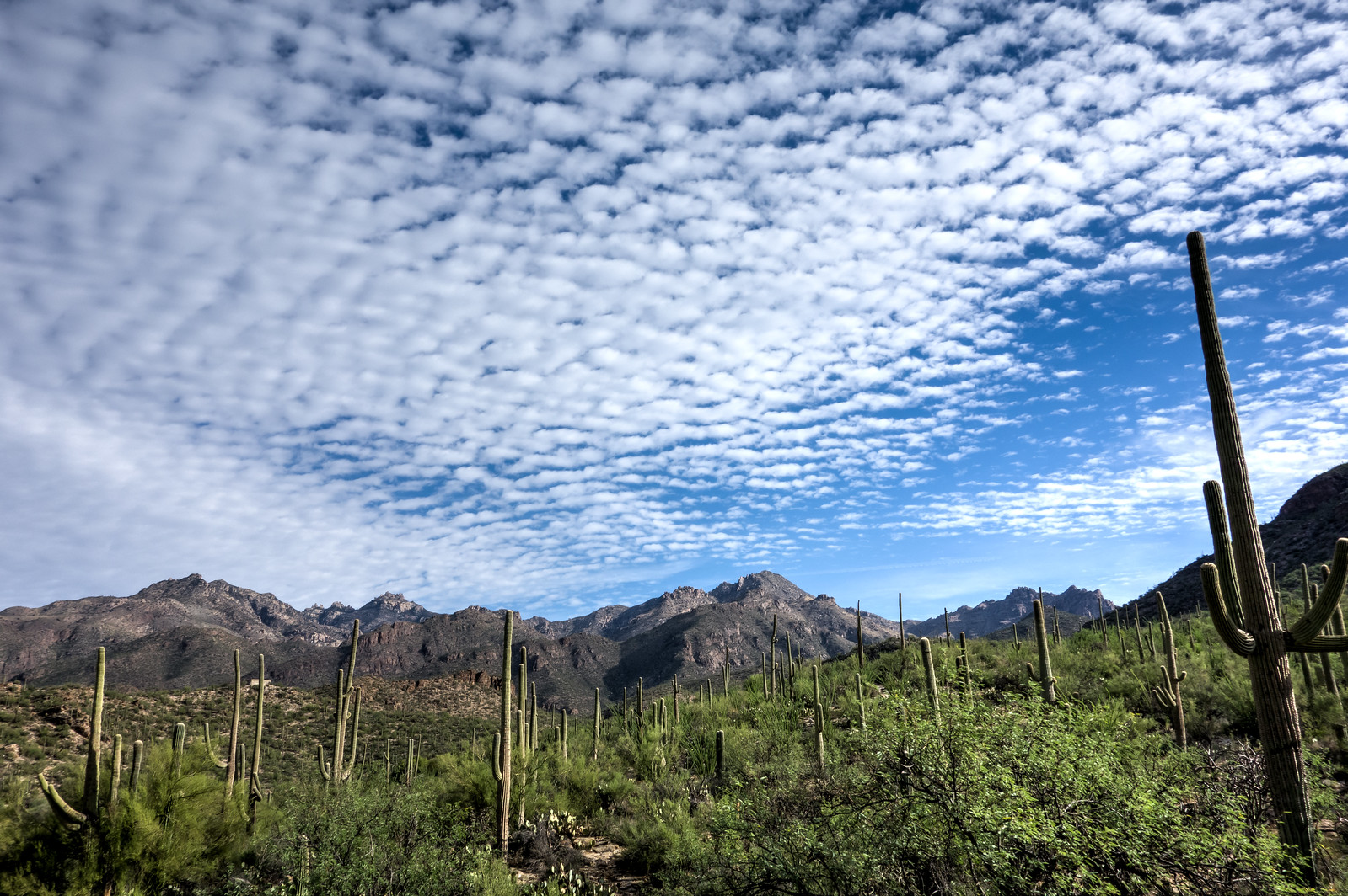
Clouds from the Bear Canyon Trail – 2014/7/20
Brush Corral Loop and Maverick Spring – 2014/7/22
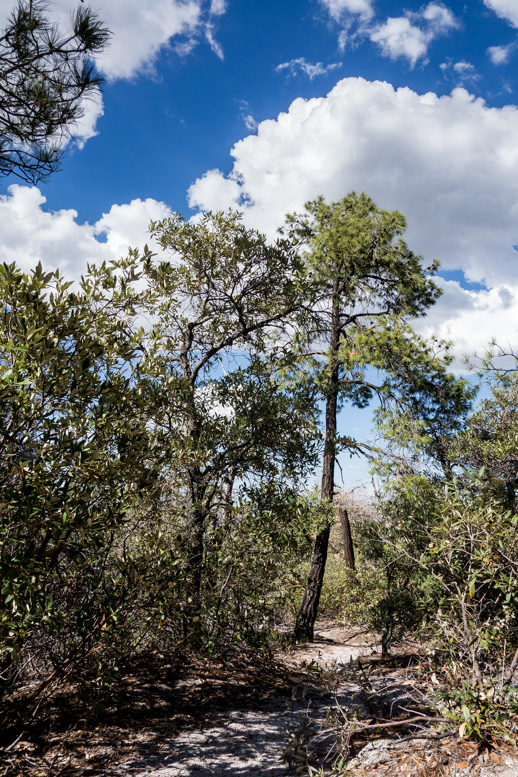
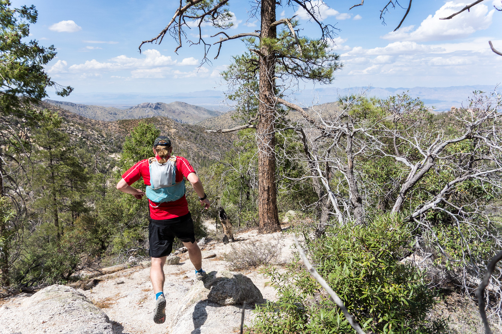
At approximately 4.5 miles and 1500′ of elevation gain and loss from the Upper Green Mountain Trailhead the Green Mountain – Brush Corral – Brush Corral Shortcut loop is both beautiful (especially on the Brush Corral side of the loop – beautiful green ferns and trees right now) and quite a good workout – maybe if you are training for the Grand Canyon a loop at the top of the mountain to start the day, a nice break in Summerhaven and then this loop on the way down the mountain for a bit more vertical…
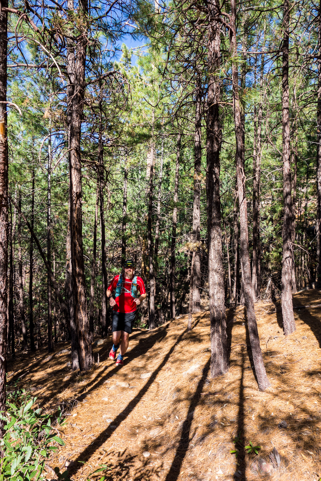
If you want just a bit longer hike the Maverick Spring Trail is an obvious out-and-back extension to this loop that adds approximately 1.6 miles, 500′ of elevation gain and loss and – this time of year – a beautifully green destination.
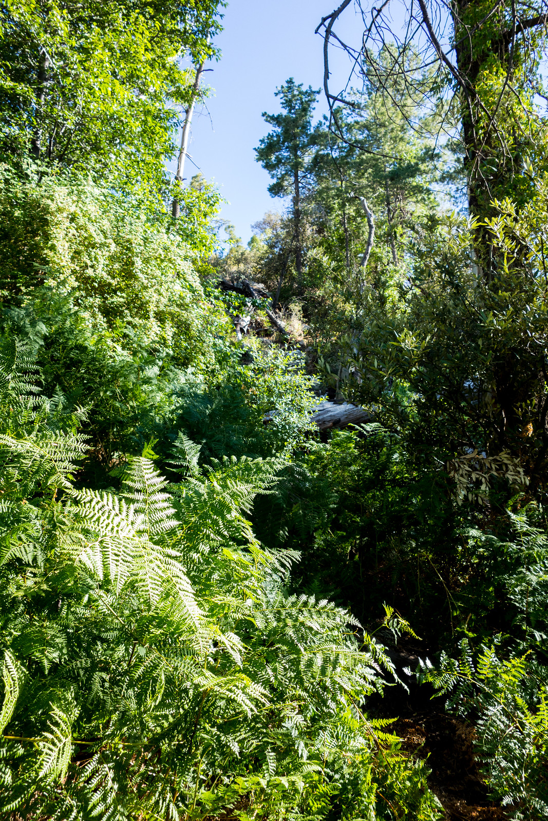
Green Mountain and Point 6828 – 2014/7/13
Just a few minutes from the Upper Green Mountain Trailhead the trail reaches a small saddle – from there the official trail heads downhill, but an un-official route breaks off to the south towards the top of Green Mountain. As you climb towards the summit of Green Mountain the route becomes steeper, looser and a bit less obvious (take care!), but you reach the top soon enough…
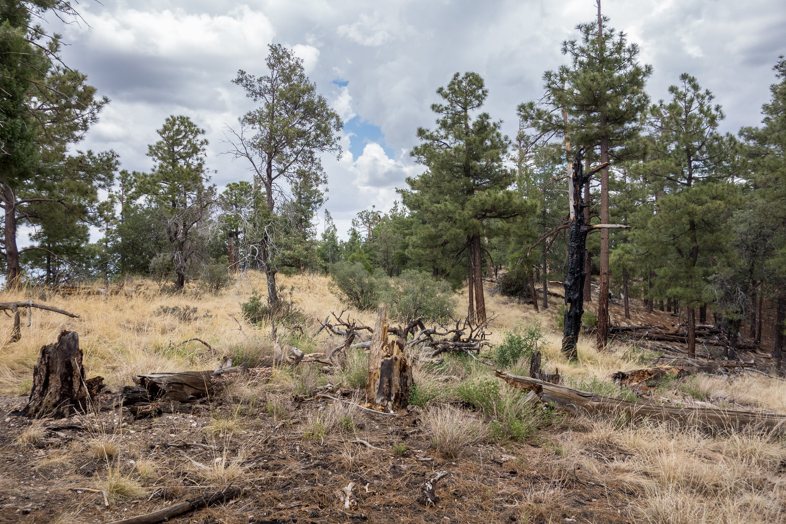
The summit area is flat and open – peaceful perhaps, certainly not dramatic – and it turns out that the most impressive views are from the rocky ledges and outcroppings that you can find on the way up…
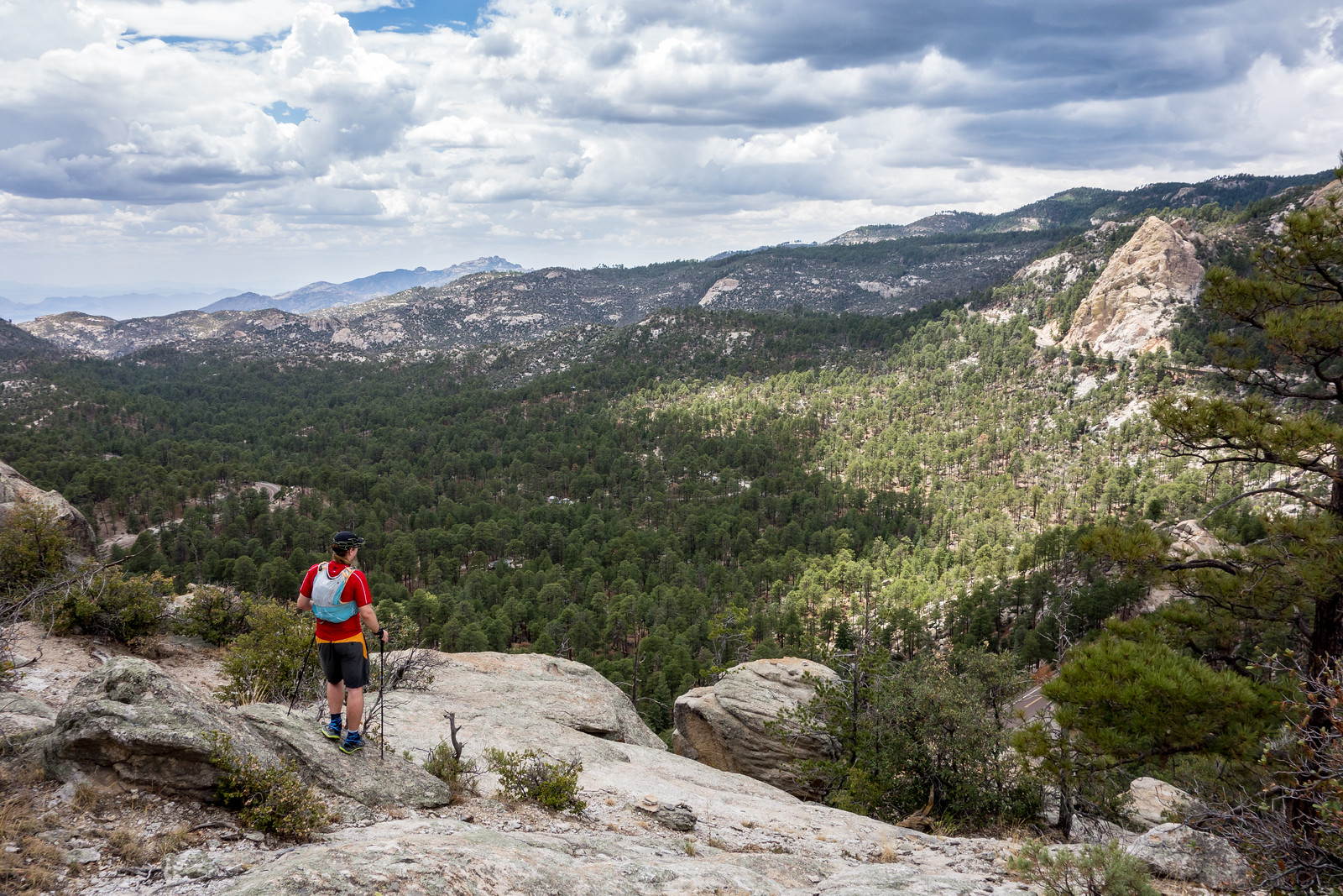
After coming down from the summit of Green Mountain I had a little more time – I took the Green Mountain Trail to the Wild Burro Trail and then left the trail to follow a ridge out to Point 6828.
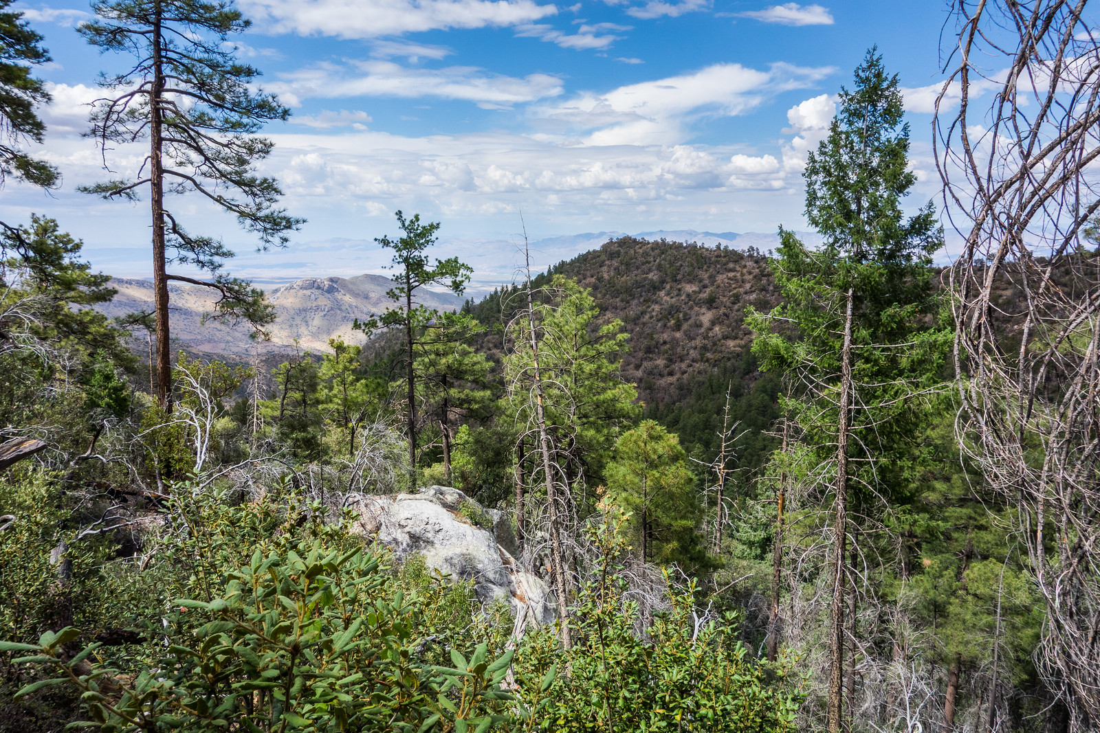
Point 6828 is not particularly prominent or impressive, but it’s small summit does provide a great view of the ridge above! (And if you do hike out to Point 6828 save a few minutes to continue just past the summit to a great spot under a beautiful tree…)
