The storms have been amazing the past few weeks! A few shots from a hike up to the first vista off of the Pusch Peak Northwest Side Route…
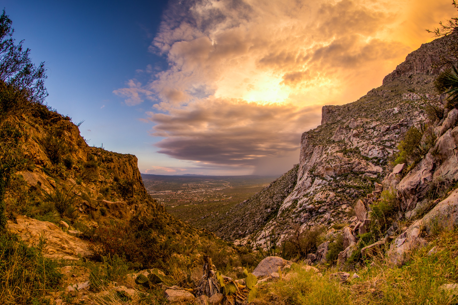
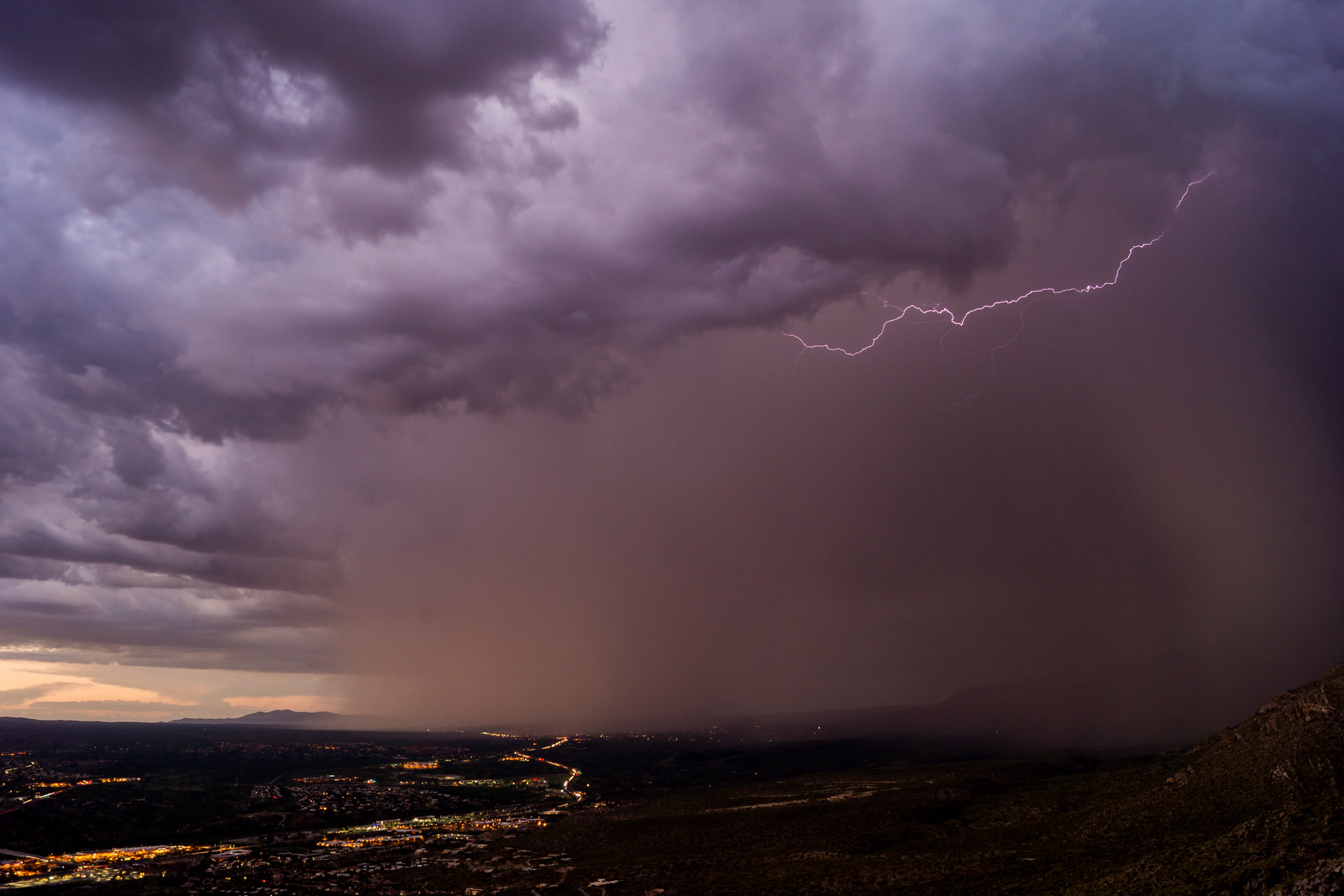
The storms have been amazing the past few weeks! A few shots from a hike up to the first vista off of the Pusch Peak Northwest Side Route…


The Bighorn Sheep Reintroduction Project Update Status update for 7/21 to 8/3 is now available (all updates are currently available here). Interesting details:
Controversy brews over plan for helicopters in wilderness – Arizona Daily Star – A great article by Douglas Kreutz that nicely covers the various for/against views on Arizona Game and Fish’s request to use helicopters in the Pusch Ridge Wilderness to help manage the recently introduced bighorn sheep.
Photos: Mt. Lemmon Air Force Station – Arizona Daily Star – A set of interesting old pictures of the Mount Lemmon Air Force Station.
Buildings weren’t burned by Forest Service, judge rules – Arizona Daily Star – A lawsuit where landowners were suing the Forest Service for compensation for property burned in the Bullock Fire is decided in favor of the Forest Service.
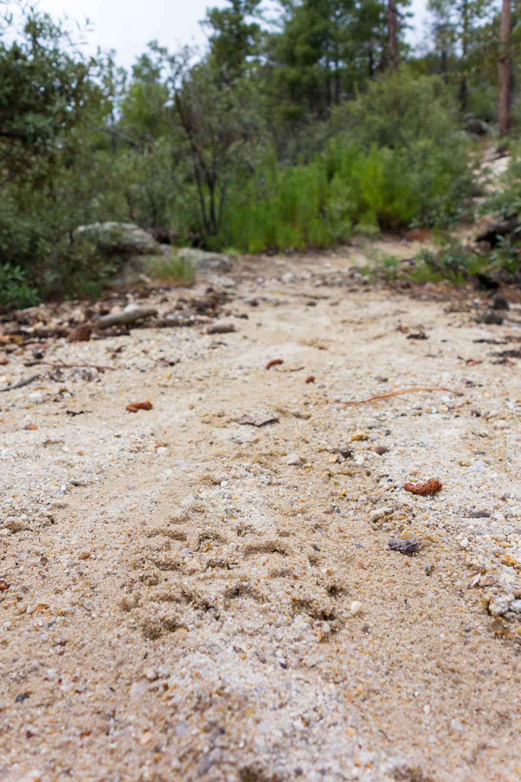
Ominous clouds covered the mountain, but when we got out of the car there was no rain or lightning – just wonderful shade and cool temperatures. We took different trails down from the Summit Trailhead – the Mount Lemmon Trail and Aspen Trail, then onto the Wilderness of Rock Trail and up the Lemmon Rock Trail – we raced to be the first up the steep climb to the Lemmon Rock Lookout – I was second up the trail and all I saw were footprints until we met at the top…
Hikers stumble upon badly decomposed body on Mount Lemmon (KGUN9.com) and Hikers Find Human Remains on Mount Lemmon (PCSD) – Human remains were found by hikers a quarter mile from the Marshall Gulch Trailhead – the initial investigation did not reveal any “evidence of foul play or suspicious circumstances”.
Gen Hitchcock Hwy on Mt Lemmon closed at MP 17.4, just above the Rose Canyon turnoff, for about an hour (PCSD), Male Injured Falling Off a Cliff on Mount Lemmon (PCSD), Road to Mt. Lemmon has reopened to traffic (TucsonNewsNow) and Man rescued after falling over retaining wall on Mt. Lemmon (KVOA.com)- a brief road closure for the rescue of a man who fell from a retaining wall in the San Pedro Vista area.
Mt. Lemmon a motorcyclist’s playground (KVOA.com) – A report on motorcyclists on the mountain, as usual with any user group there are a variety of opinions and levels of responsibility. Probably the most fascinating part of the article where these stats from 2013: 11 tickets – 12 crashes – 1 fatal – lower than I would have guessed.
Helicopter Use by AZ Game and Fish Dept within Pusch Ridge Wilderness – While the official comment period is apparently over (ended July 30) comments still be accepted and the documents related to this proposal are interesting reading. I share the concern expressed in a recently in an Action Alert from the Arizona Trail Assocation:
The Arizona Trail Association is concerned that increased helicopter traffic in the Santa Catalina Mountains near Tucson would significantly impact the experience of trail users along Passages 11 and 12 of the Arizona National Scenic Trail, especially within a federally designated wilderness area.
Sabino Canyon Lizard Walks – Lead by the Sabino Canyon Volunteer Naturalists Lizard walks will take place at 8am on the 2nd Saturday of the month in August, September and October! 2014 Summer Activities.
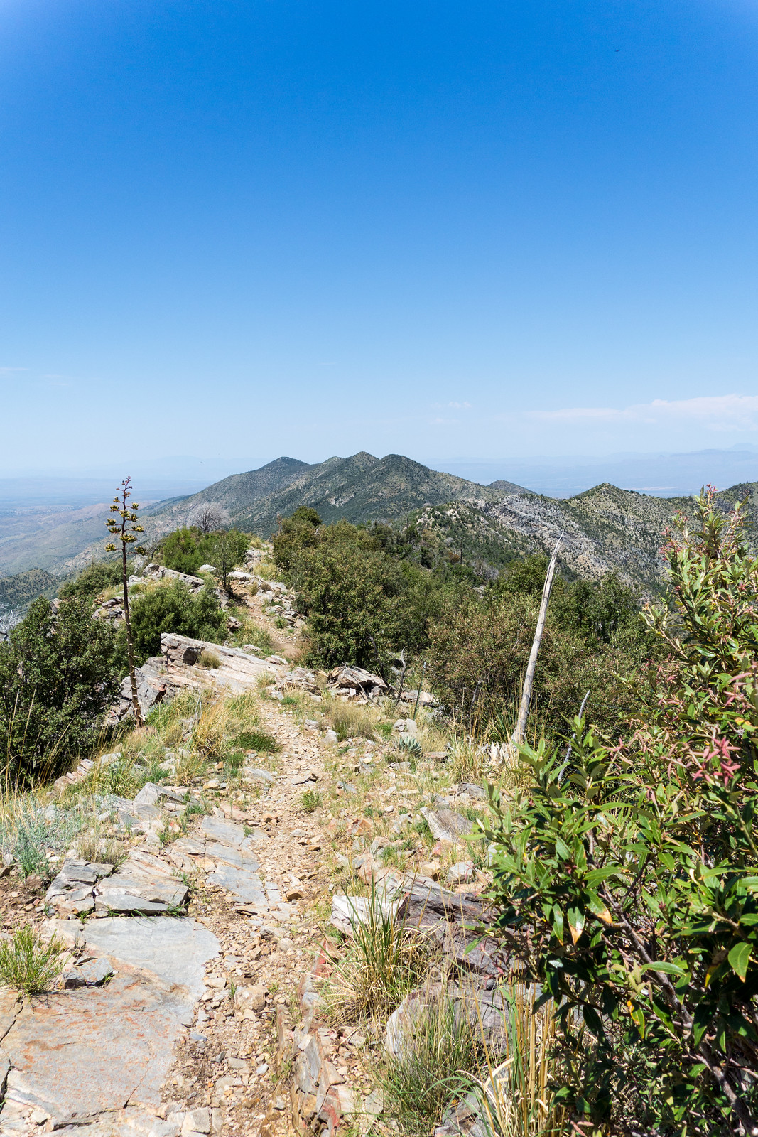
Oracle Ridge is beautiful today, flowers, green, big views and sections of great ridges.
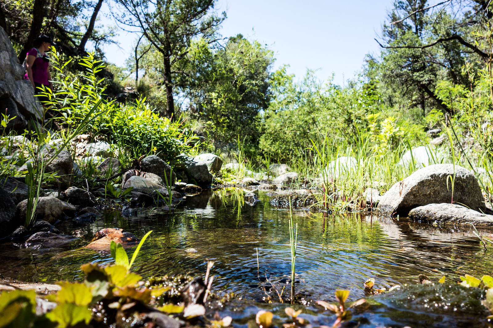
As the Catalina Camp Trail descends the temperature starts to soar, but soon enough One Park Place appears and the trees along the East Fork of the Cañada del Oro provide some relief from the sun – water in the East Fork of the CDO is a surprise and we sit, relax and enjoy.
The loop in this direction ends with the steep climb up the stunning Red Ridge Trail.

The Oracle Ridge – Catalina Camp – Red Ridge loop is approximately 8.6 miles with 2500′ of cumulative elevation gain/loss.