Overview
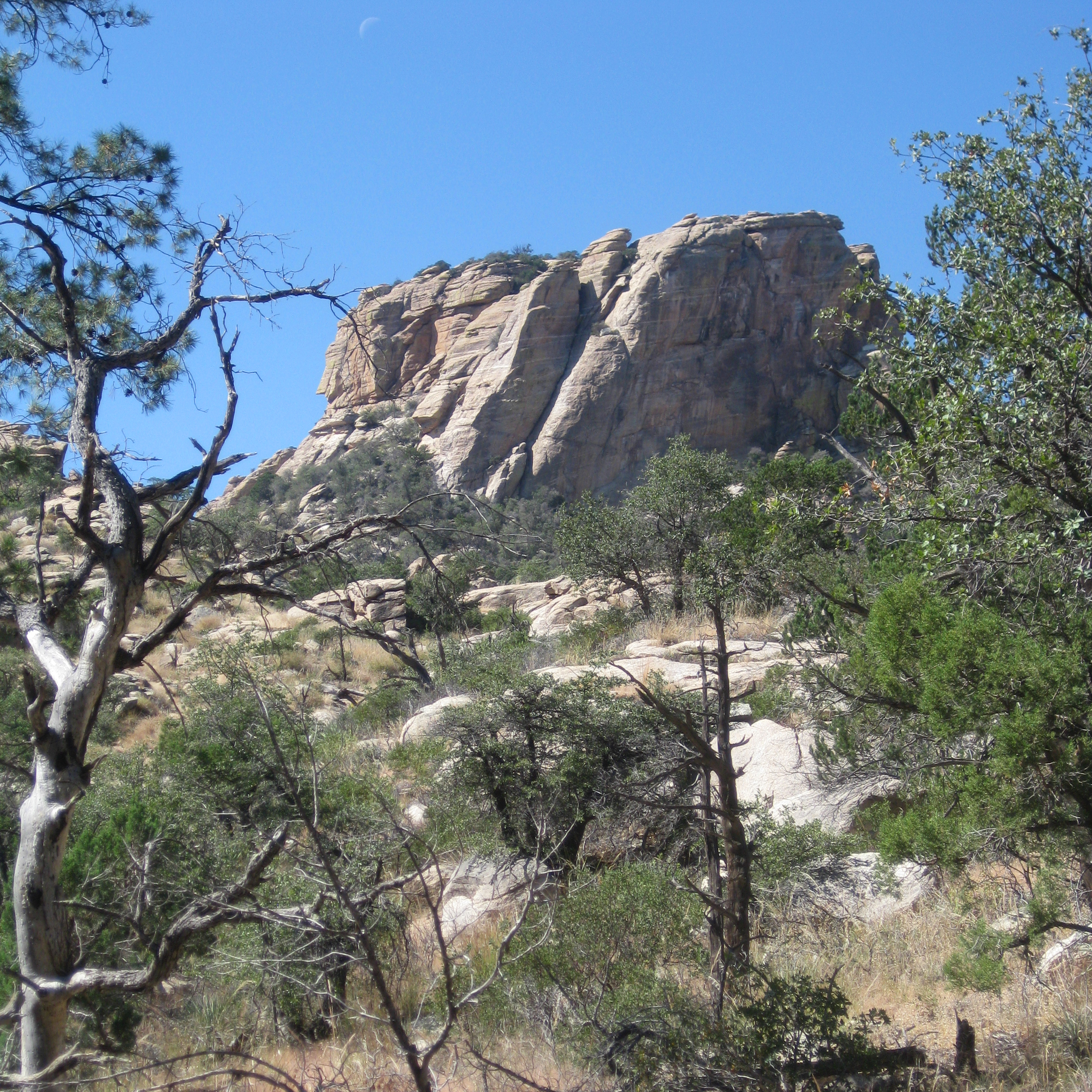
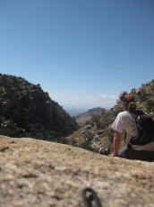
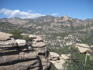
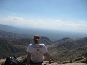
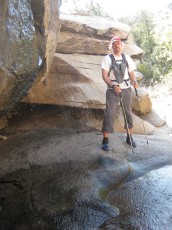
Airmen Peak is a great off-trail destination – tall cliffs, a lovely rocky summit and great views all between two classic Santa Catalina canyons (and like many off-trail adventures in this area steep/brushy/loose hillsides, slippery/wet polished granite and a few scrambling/route finding puzzles)… As always be very cautious and aware of your limits when traveling off-trail.
Hike Stats
- Loop
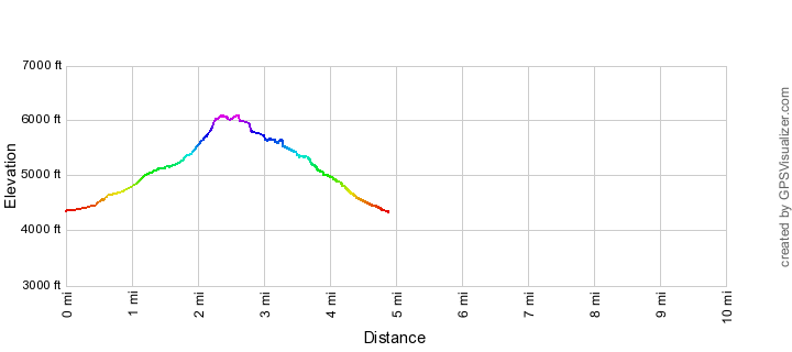
- 5.2 miles
- 2,400' Elevation Gain
- 2,400' Elevation Loss
- Highest Elevation: 6,100'
- Lowest Elevation: 4,350'
Location
- This hike is in the Santa Catalina Mountains near Tucson, Arizona.
- Start/End: Molino Basin Parking Area (Lower Highway Hikes)
Details
- Fee: Yes (No fee for some uses - there are a limited number of free parking spaces for the hikers using the Arizona Trail (Molino Basin Trail and Bellota Trail))
- Dogs: Yes
- Bikes: Yes (This hike almost all off-trail - bikes are allowed in this area but hard to imagine this as a good ride.)
Drive
- 19.5 miles from Speedway and Campbell
- 40 Minutes from Speedway and Campbell
- Vehicle Access: Paved Roads/Passenger Car (Mountain Road - be careful of weather conditions!)
Airmen Peak Elevation Profile
Driving Directions
Suggested driving directions from the Speedway and Campbell intersection in Tucson to the Molino Basin Parking Area:
- Drive East on Speedway (5.0 miles)
- Left on Wilmot and continue on Tanque Verde (4.3 miles)
- Left on Catalina Highway (10.1 miles)
- Signs will help you find the turn into this trailhead and campground. This area is a fee area ([LemmonFeeCostAndLink]) - but there are a number of clearly signed free parking spaces for Arizona Trail users.
Google Maps Directions from the Speedway and Campbell intersection in Tucson to Molino Basin Parking Area.

Trail Notes
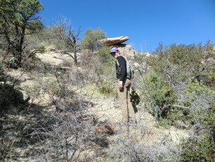
There are NO established trails to the top of (or anywhere near…) Airmen Peak – be aware of the hazards and comfortable with off-trail travel and navigation in the Santa Catalina Mountains before attempting this hike.
[CueListWarning]
- 0.0 Miles, 4350′: Park at the Molino Basin Parking Area [Waypoint TH MB] and walk across the road (on the crosswalk) to the obvious start of the Bellota Trail (you are now on the Arizona Trail!)
- 0.1 Miles, 4375′: A few minutes down the trail you will pass a large Arizona Trail sign and then take an unofficial – but well worn – trail to the left before the Arizona Trail crosses Molino Canyon. [Waypoint J BLT MC]
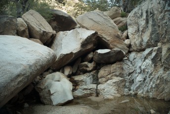
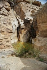
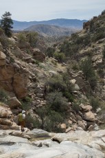
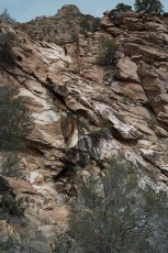
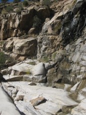
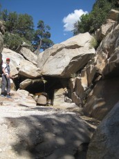
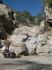
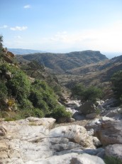
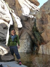
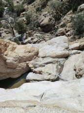
- 0.45 Miles, 4475′: The trail begins to climb away from the canyon on the hillside to the west [Waypoint MC 01] – the trail comes back into the canyon above a lovely set of falls.
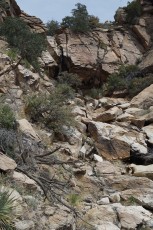
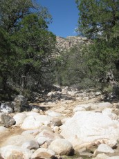
- 0.7 Miles, 4700′: From the falls work up the bottom of the canyon – pass the drainage described in the Mountain Project description for the Stonewall approach coming in from the left. [Waypoint MC 02]
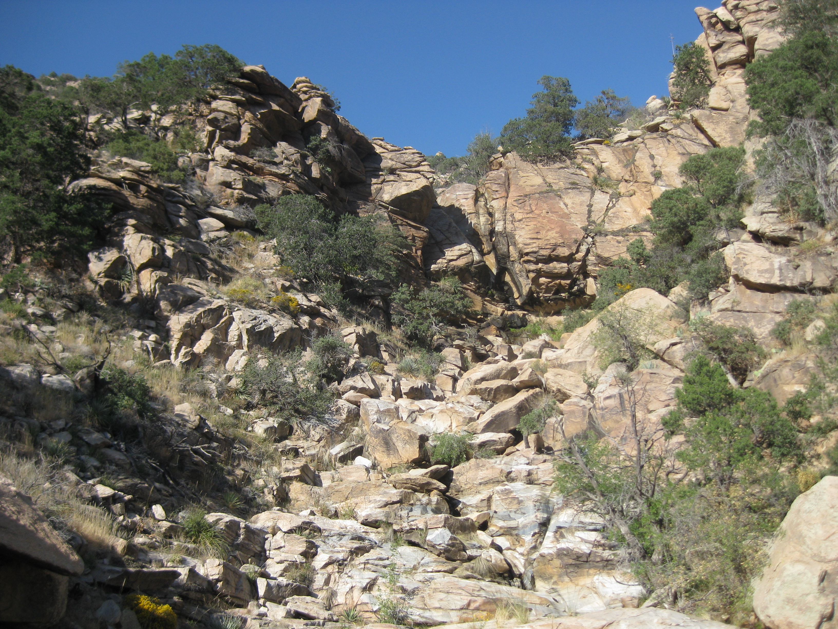
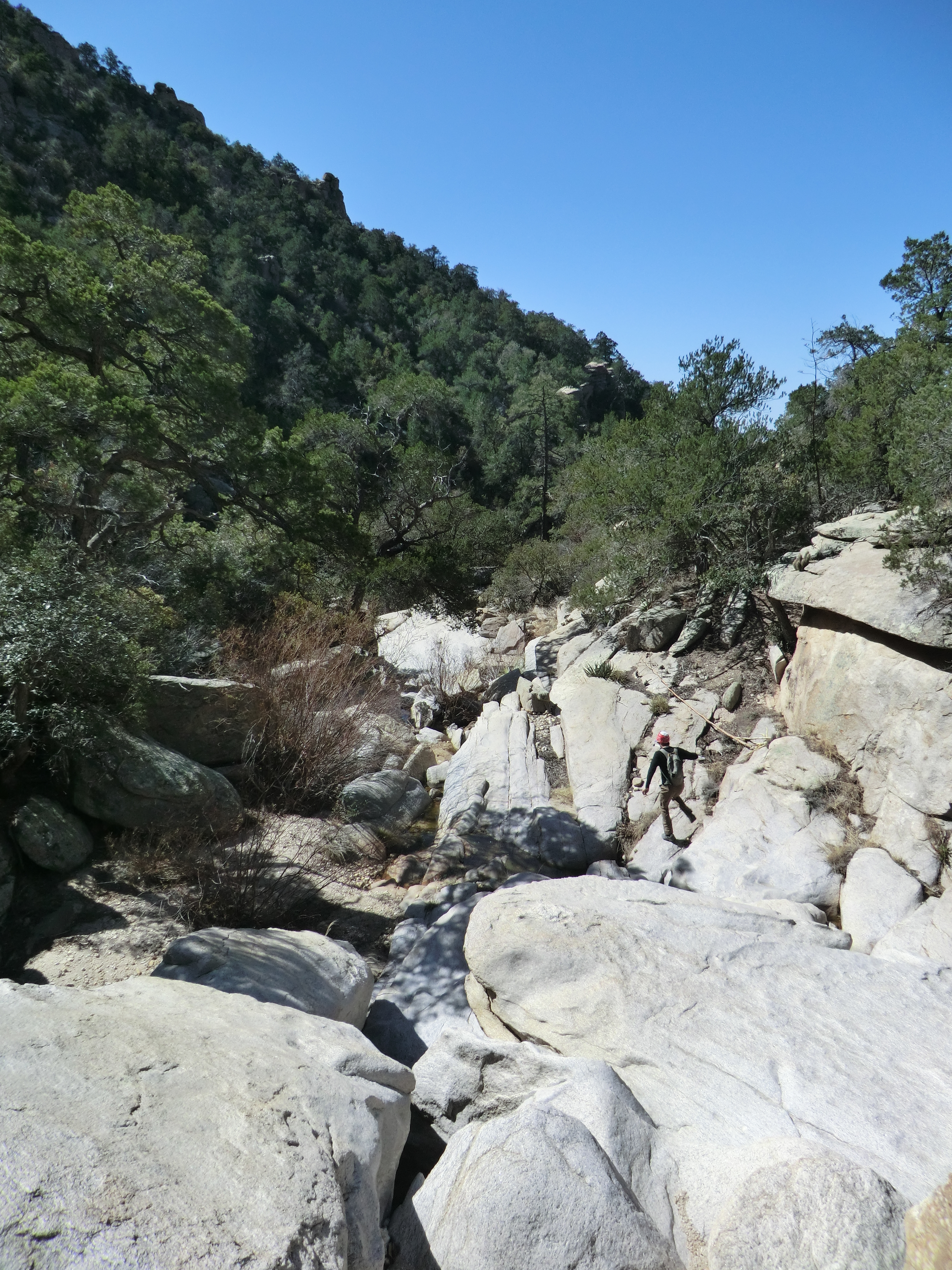
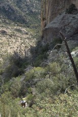
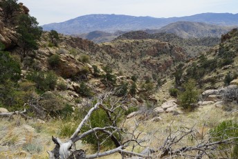
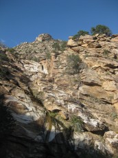
- The canyon will gradually steepen – some scrambling and route finding will be required to work thru the steep sections to the flat area above.
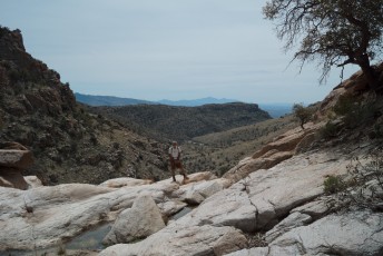
- 1.5 Miles, 5150′: A few minutes after the canyon flattens out start looking for a drainage coming in from the left [Waypoint MC 03]– sometimes marked with a cairn – from here your goal is the saddle north of Airmen Peak via whatever you think will be the path of least resistance (I have had decent luck staying mostly north of the drainage and/or occasionally dropping into the drainage – in this terrain you are likely to find many possible ways up…)
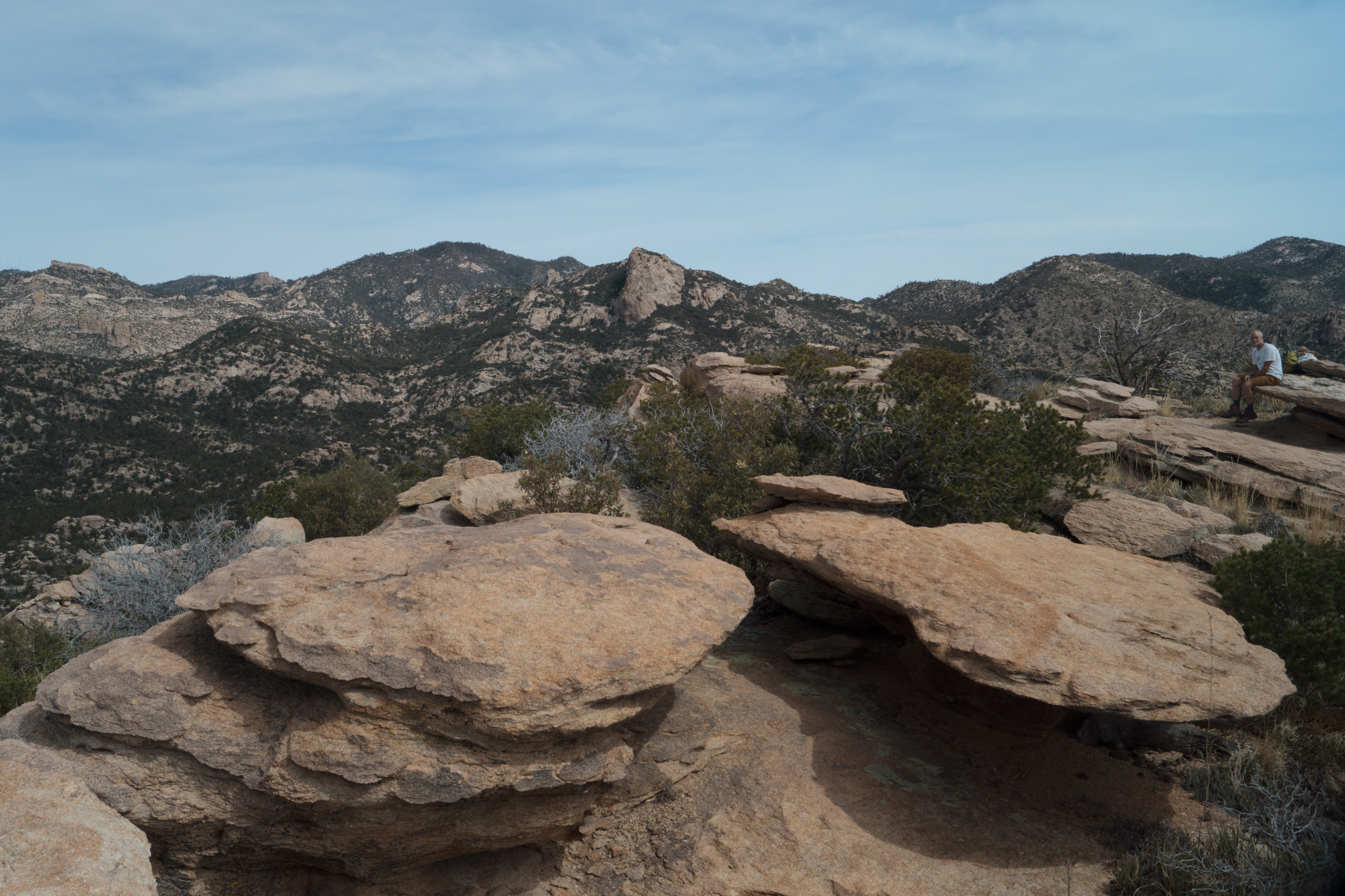
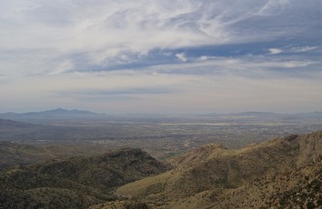
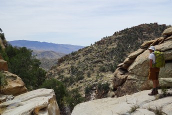
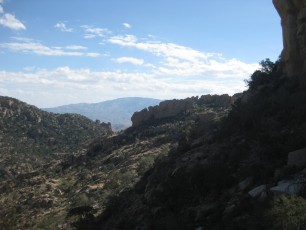
- 2.2 Miles, 5750′: From the saddle [Waypoint MC 04] the peak is uphill to the south-west – this section is steep/brushy/rocky and lacks a well worn trail, expect to be slow from the saddle to the top of the peak.
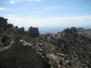
- Enjoy the peak! From here reverse your route and go back down to the saddle [Waypoint MC 04].
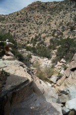
- From the saddle you can go back down Molino Canyon (the way you came up – easier option) or hike down the other side of the saddle into the West Fork of Molino – be aware that the West Fork of Molino is more rugged, more strenuous and has more obstacles than Molino Canyon.
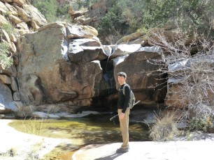
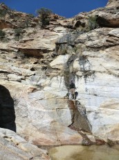
- There are three major obstacles coming down the West Fork of Molino – all can be bypassed – while you will need to determine the best way and carefully stay within your limits I suggest – First Falls: exit left to the rocky cliffs above the falls, Second Falls: exit right and follow a small drainage back into the canyon, Third Falls: exit right and look for a faint path contouring along the hillside and around until a chute or hillside offers a way back down into the canyon. While these obstacles are not technical they will require off-trail scrambling to bypass!
- 4.8 Miles, 4400: The West Fork of Molino continues under the highway [Waypoint MC 05] – continue along the canyon until you find the paved road thru Molino Campgroud – a left will take you to the parking area!
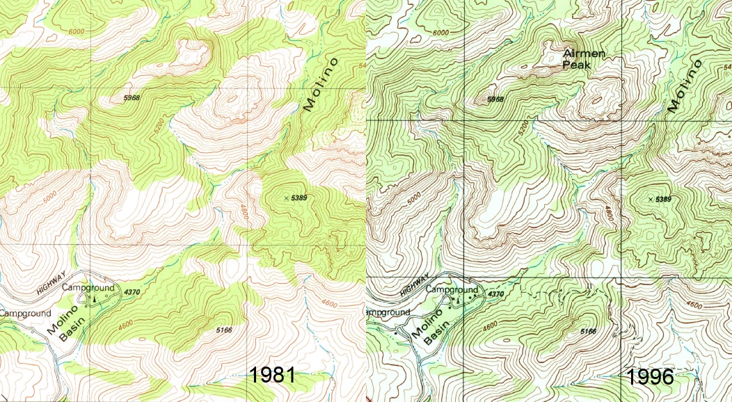
The Tucson area has had a number of Military air accidents including a 1945 crash of a B-25D into Wrong Mountain in the Rincons. In 1986 retired Air Force Chaplin Lawrence Tagg wrote to the United States Board on Geographic Names and proposed that Wrong Mountain be renamed Airmen Memorial Peak to commemorate these crashes. Because the name Wrong Mountain was well established the request was denied and instead Airmen Peak was named in the Santa Catalina Mountains “in honor of all airmen who have died in military aircraft accidents in the greater Tucson area.” The history of Airmen Peak is detailed in Death, Daring, and Disaster: Search and Rescue in the National Parks and the story is also told by the documents in the Feature Detail Report in the Geographic Names Information System.
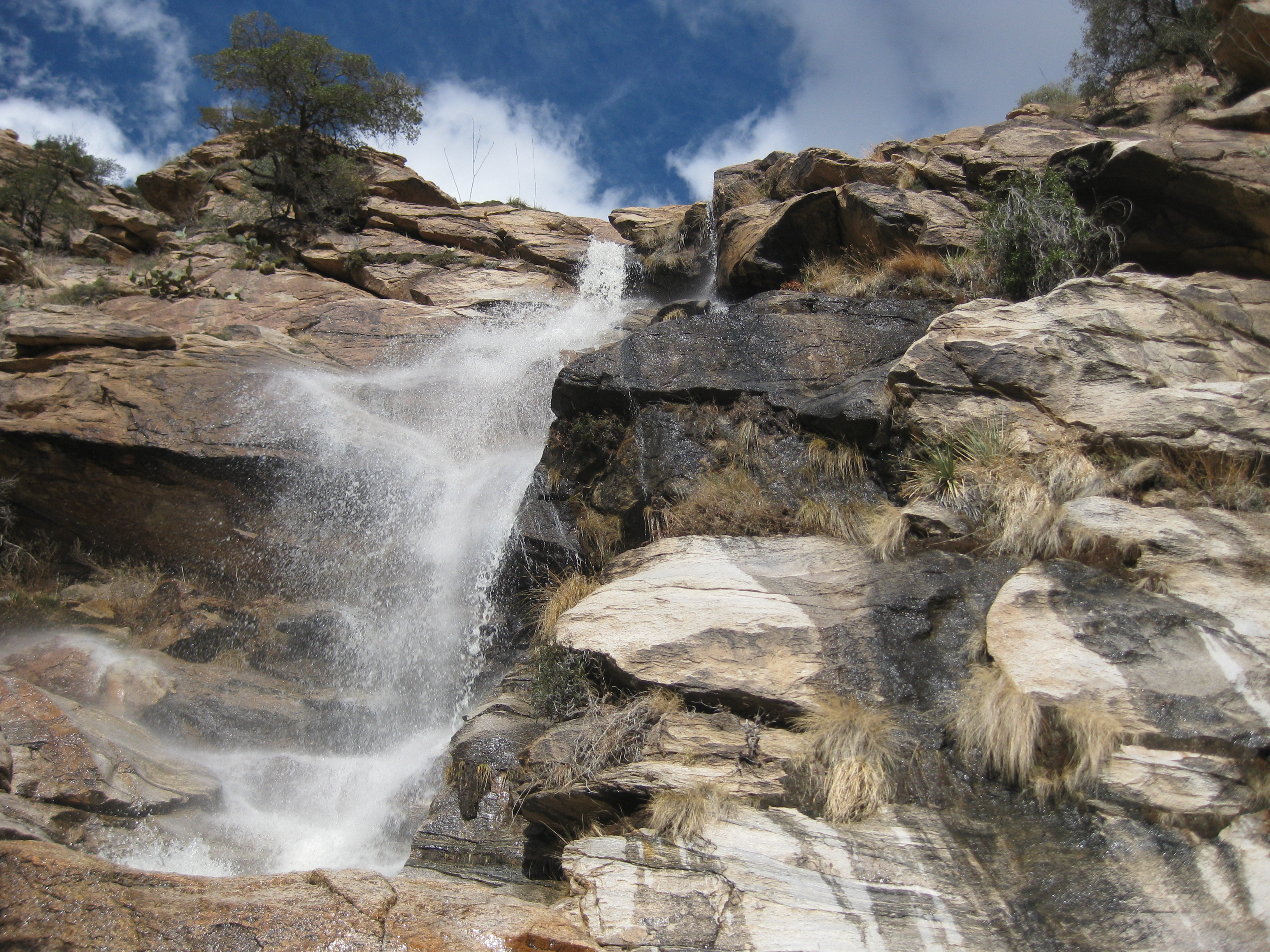
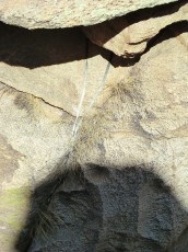
Right: More falls!. January 2010
Maps
- [Usgs75AguaCalienteHill/]
- [MapGreenTrailsCatalina] – The Green Trails map shows the terrain but does not label Airmen Peak, probably better to have the more detailed [Usgs75AguaCalienteHill/]
Resources
- HikeArizona – Upper Molino Canyon Loop – great description of the doing Molino/Saddle/West Fork of Molino without going up to the peak – very useful.
- Summit Hut – Trail Talk Blog – Airmen Peak
Pictures
2013 April Airmen Peak

2012 March Molino Canyon – Airmen Peak – West Fork of Molino Canyon
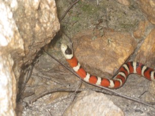
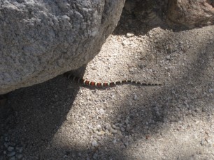


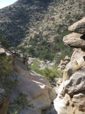

2011 Dec Molino Canyon – Airmen Peak – West Fork of Molino

Update Notes
- 2017/8/15 – HikeLemmon posts added to Resources
- 2017/7/27 – Srcset changes to images, added another Falls picture (with water!)
- 2014/8/9 – Updated GPX information and description
- 2014/2/28 – Format update
- 2014/2/28 – Converted to WordPress
- 2014/2/22 – Added elevation profile
- 2014/1/26 – Updated format, added services notes and cautions, increased the size of the Gmap4 Topo Map, added dates to pictures.
- 2013/11/24 – Format update (including adding hi/low elevation, moving stats), added link to driving direction from Speedway/Campbell and worked on directions (typo and readability).