A few minutes from FR639 on the Oracle Ridge Trail I heard my first rattle of the season. With a long stretch of 100 degree days in the forecast it felt like a warning of summer's arrival - a strange Arizona variation on Groundhog Day with the messenger hidden in the deep dry grass.
Unlike most of the trails in the Santa Catalina Mountains the Oracle Ridge Trail uses a number of Forest Service roads. North east of Rice Peak the trail uses part of a network of roads that ascend from the Control Road in the Peppersauce Wash/Nugget Canyon area and allow 4WD access to the peak.
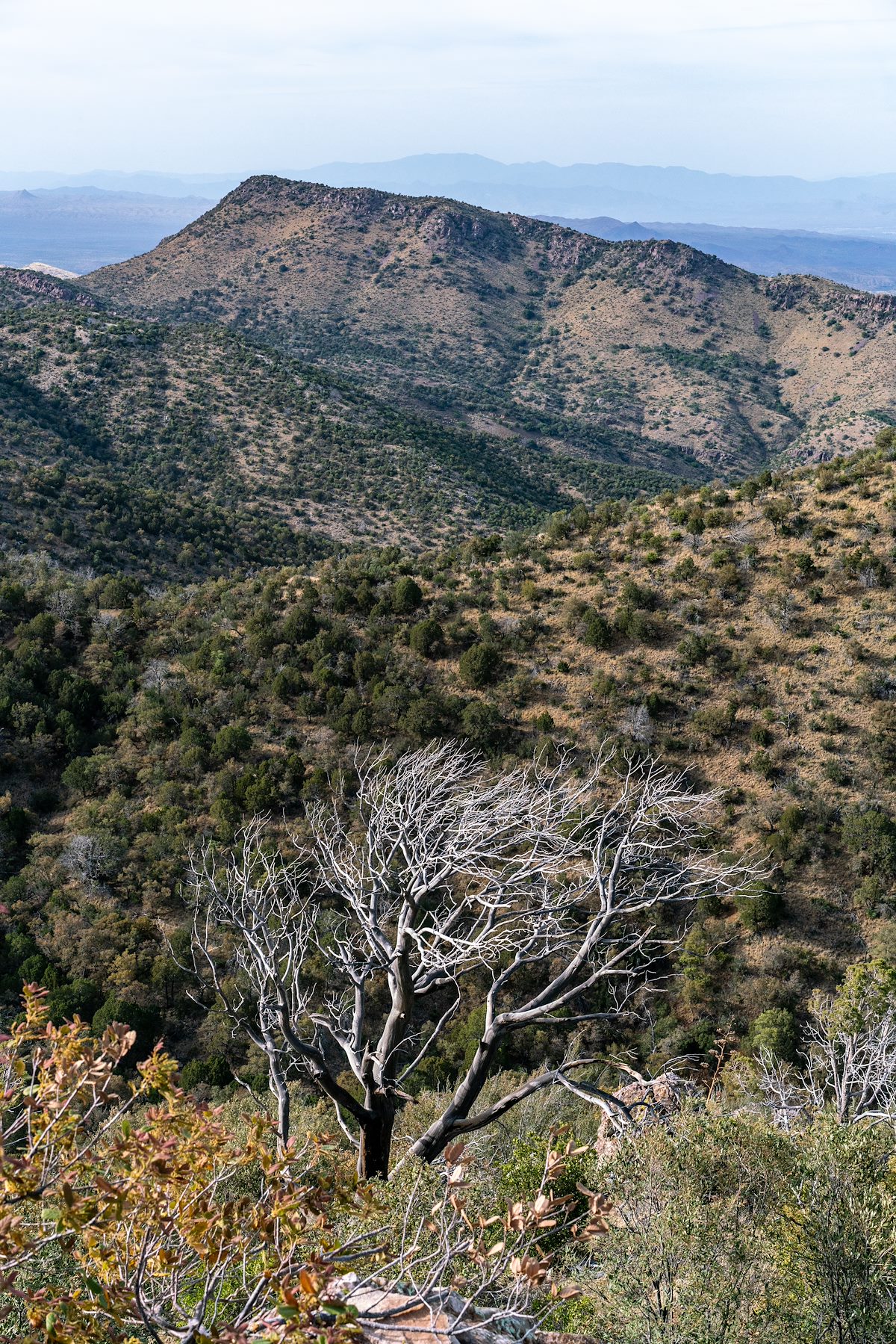
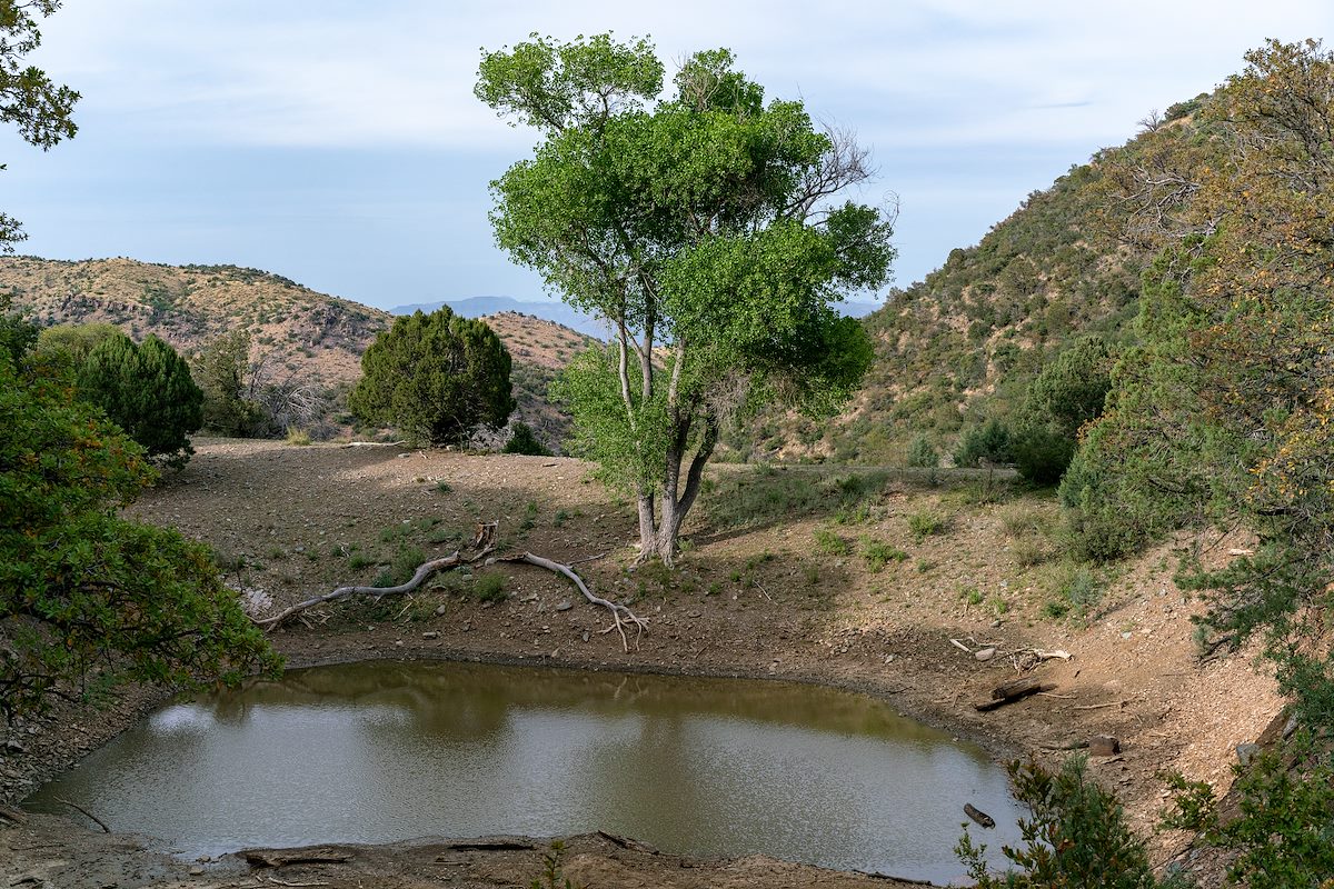
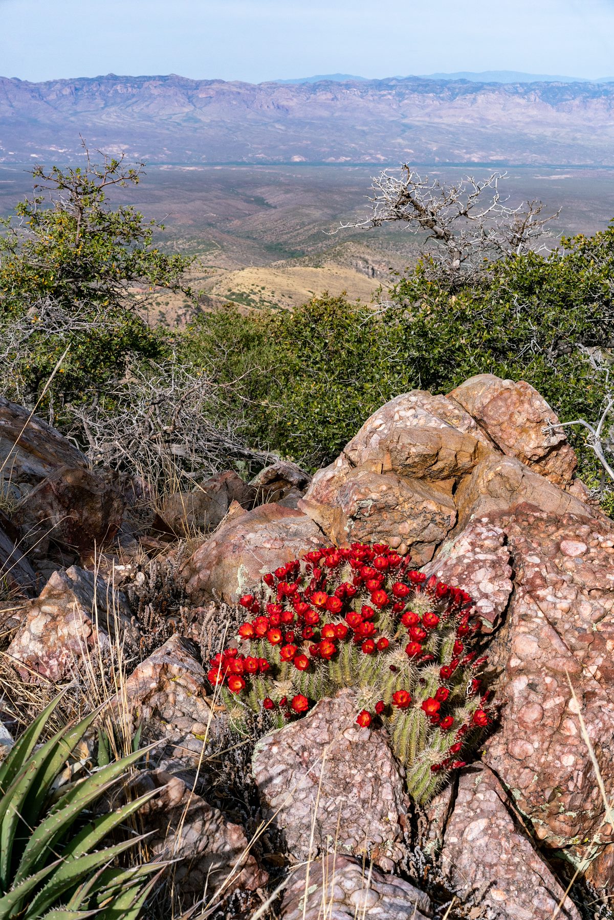
With enough vehicle traffic these roads would be a dusty misery on foot - but it is easy enough to find days when the roads are quiet and you can use them to make a variety of longer or shorter loops thru the mountains - like many hikers I generally choose trails over roads, but there are so many beautiful details hiding in the mountains, no reason to avoid a quiet road when you have the chance...