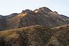
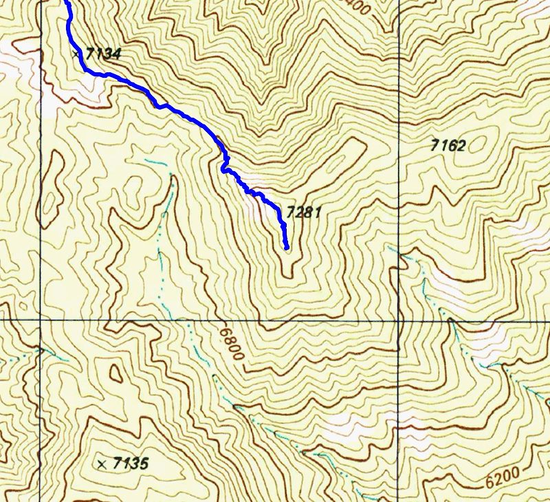
The [link slug="guthrie-mountain"/] Trail ends near Point 7281 - the highest peak in the area - but if you look at the USGS 7.5' maps you might notice that Point 7281 is not labeled 'Guthrie Mountain'.
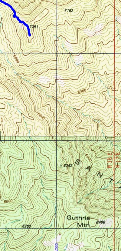
However if you look around on the USGS 7.5' maps for the Santa Catalina Mountains you will eventually find a point well to the south of the ending of the [link slug="guthrie-mountain"/] Trail labeled 'Guthrie Mountain'.
From the 3rd edition of the [GuideYellowBook/], p. 75:
Guthrie Mountain was named for an early forest supervisor in the southwest and is located on the U.S.G.S. quadrangle map as a 6464-foot-high point on the ridge just east of Molino Canyon. It is the opinion of the authors that this is an error and that Guthrie Mountain is the prominent 7300-foot-high point just north of Burro Canyon and about a mile southeast of Bear Saddle.
While I think that the ending point of the [link slug="guthrie-mountain"/] Trail makes the most sense as 'Guthrie Mountain' the Guthrie Mountain label on the USGS maps provides an excellent excuse to visit another point on the map...
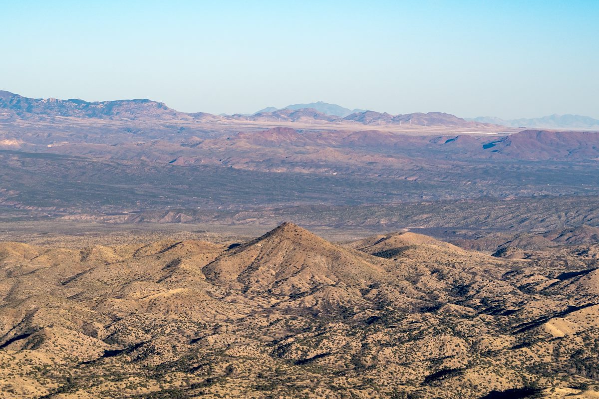
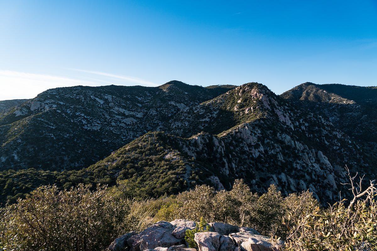
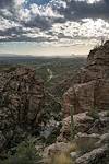
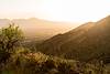
We approached the USGS Guthrie Mountain from the [link slug="molino-basin-parking-area"/], starting on the Bellota Trail but quickly turning onto the route up Molino Canyon. We hiked several miles up the beautifully rugged canyon bottom to a point west of the USGS Guthrie Mountain and, after some debate about what would be the best way up onto the ridge, we began our ascent. What started as a smart/clean way to the ridge quickly devolved into a slow crawl (occasionally literally) thru the Manzanita - thankfully the ridge was fairly close soon we had our first good look at the USGS Guthrie Mountain.
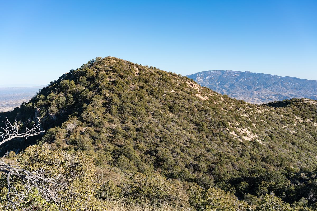
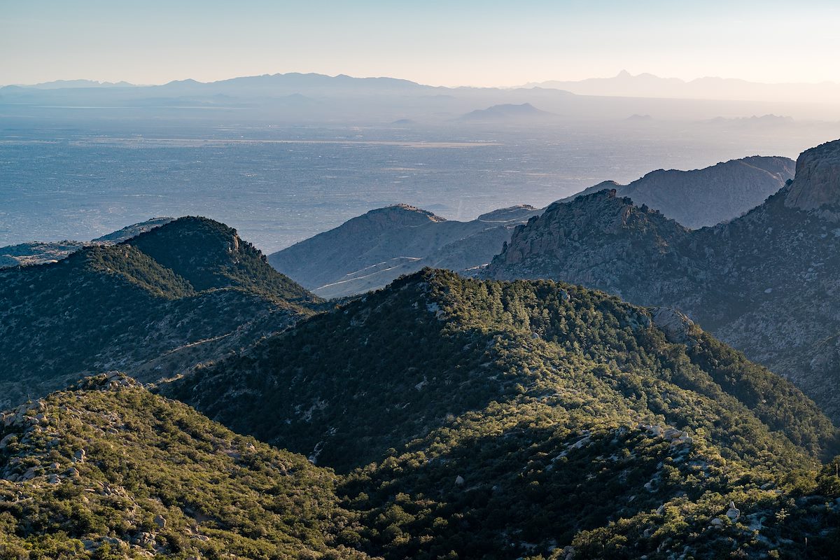
A small trail along the ridge took us quickly to the top - the peak is fairly open on top and there are great views! Not, I think, the 'real' Guthrie Mountain - but certainly a beautiful destination.