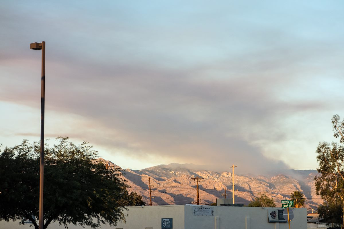
The Forest Service was careful to publish information about the Bigelow Prescribed Burn well in advance - but even so it was hard not to be alarmed by the impressive amount of smoke that the fire was producing, easily visible from Tucson it generated plenty of questions and it was hard not to wonder if the controlled burn had somehow gone awry...
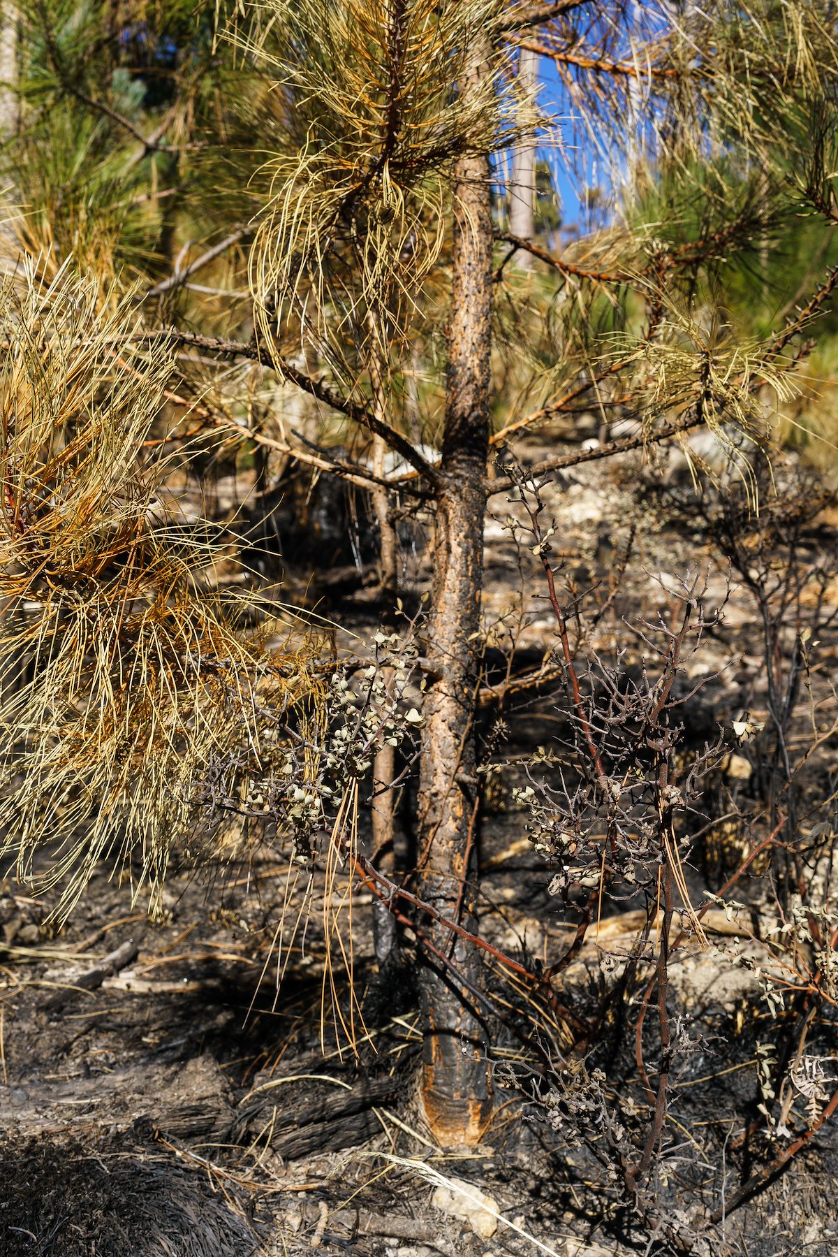
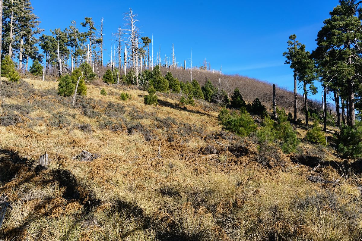
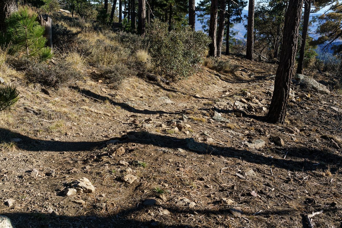
Hiking up the [link slug="bigelow-trail"/] from the [link slug="bigelow-trailhead"/] the impact of the fire was obvious - black ground, black tree trunks. I wasn't until I reached the edge of the burn that I could really tell just how impressively effective the fire had been - fairly dense grass and shrubs cover the hill on one side / on the other the ground is remarkably clear.
We visited Kellogg Mountain just before the controlled burn - I wondered what impact the fire might have on the impressive thicket of New Mexico Locust growing near the top - but near Kellogg the [link slug="bigelow-trail"/] was the edge of the fire and Kellogg Mountain was untouched.