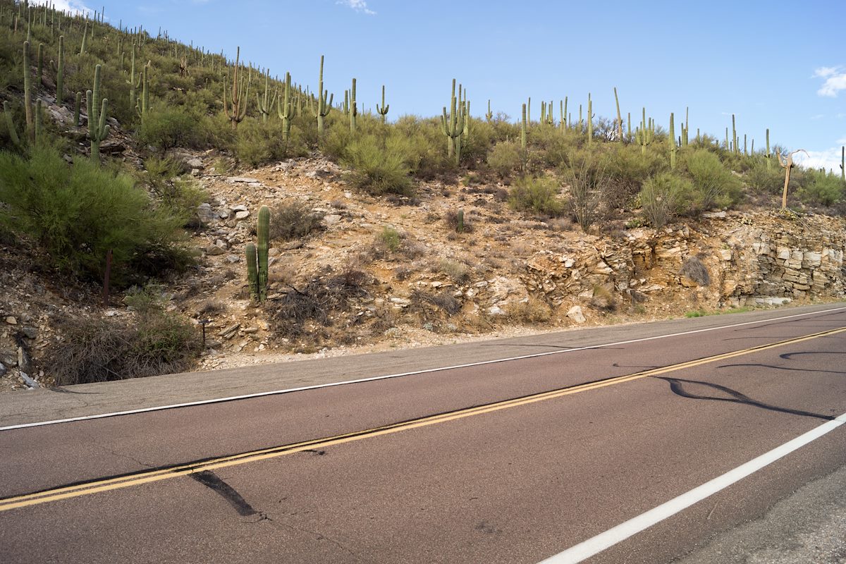
The lowest official trailhead on the Catalina Highway the Soldier Trail Trailhead is the lower end of the Soldier Trail - a rugged trail that heads up to a junction with the Molino Basin Trail near the Gordon Hirabayashi Recreation Area.
- At This Trailhead: Soldier Trail
- Nearby Trailheads and Parking: Down-mountain Hairpin Turn Parking Pullout, Up-mountain Babad Do’ag Vista and Trailhead Parking
- 30 Minutes from Speedway and Campbell
- 15.2 miles from Speedway and Campbell
- Miles up the Catalina Highway: 1.4 miles
- Side of the Highway: Down-mountain
- Vehicle Access: Paved Roads/Passenger Car (Mountain Road - be careful of weather conditions!)