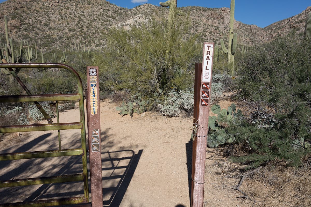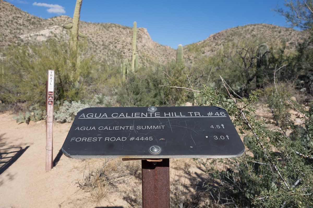
- At This Trailhead: Agua Caliente Hill Trail
- Nearby Trailheads and Parking: Avenida de Suzenu Trailhead
- 35 Minutes from Speedway and Campbell
- 15.9 miles from Speedway and Campbell
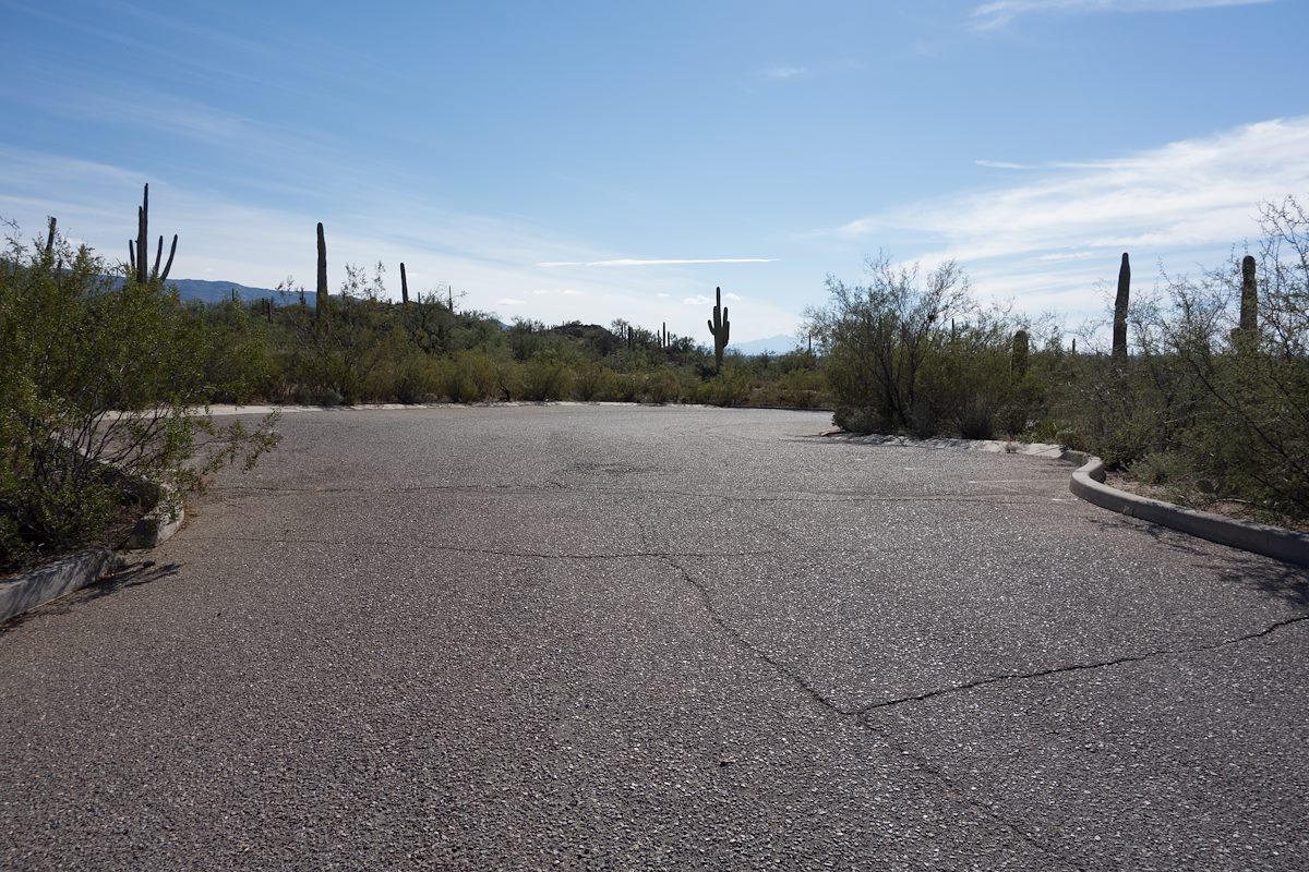
- Vehicle Access: Paved Roads/Passenger Car
- Open dawn to dusk
- No facilities at this trailhead
Agua Caliente Hill South Trailhead - Pima County