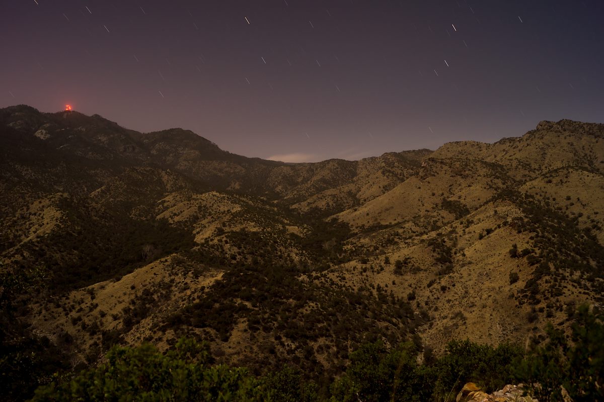
2014 March Looking up Edgar Canyon and the Davis Spring Canyon from Point 4863: The canyon on the right contains Araster Spring, the canyon on the left is Edgar Canyon on the USGS maps. Charles Miles. 3/12/2014.
ƒ/5.6
201.0
ISO 100
18 mm
DT 18-55mm F3.5-5.6 SAM
SONY
SLT-A65V
©2014 Charles Miles
Tags:
arizona
butterfly roadless area roadless area
coronado national forest
edgar canyon
mount bigelow
pima county
point 4863
santa catalina mountains
santa catalina ranger district
Related:
Photographs - March 12, Wednesday, 2014
10/24/2022
Previous/Next:
2014 March Junction Sign for the Davis Spring and Knagge Trail
10/24/2022
2014 March Cliffs and Ridge North of Edgar Canyon
10/24/2022
Created by Charles Miles on 8/11/2020. Updated by Feature Intersection Tagger on 10/24/2022.