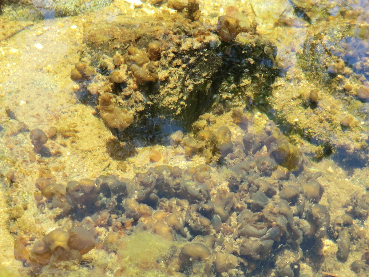
2013 May Stream Bottom: This seemed to be typical of quite a bit of the stream bottom lower in the canyon, not sure what this is or what (if anything) it indicates. Charles Miles. 5/18/2013.
ƒ/4
1/125
ISO 80
8.4 mm
CASIO COMPUTER CO.,LTD.
EX-H20G
©2013 Charles Miles
Tags:
arizona
canada del oro trail
cdo trail
cdo wsa roadless area
coronado national forest
pima county
santa catalina mountains
santa catalina ranger district
water
Related:
Photographs - May 18, Saturday, 2013
10/24/2022
Previous/Next:
2013 May Butterflyweed near the CDO
10/24/2022
2013 May North Ridges
10/24/2022
Created by Charles Miles on 8/11/2020. Updated by Feature Intersection Tagger on 10/24/2022.