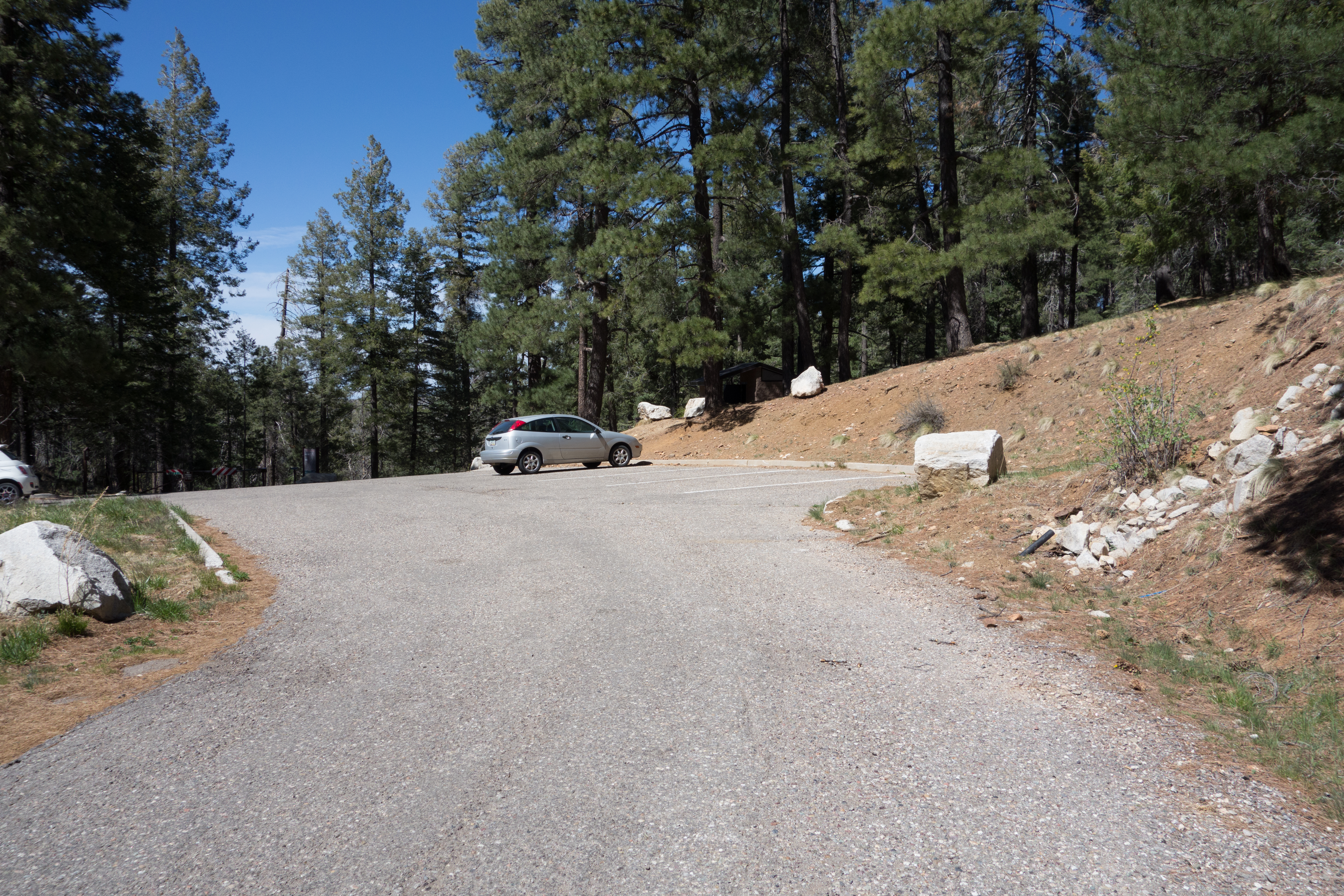
Butterfly Trailhead. April 2014.
Overview
Location
- Upper Highway Hikes - Santa Catalina Mountains - Southern Arizona
- Google Map Coordinates: 32.42718200 -110.74081400
- At This Trailhead: Butterfly Trail, Crystal Spring Trail, Arizona Trail Pusch Ridge Wilderness Bypass
- Nearby Trailheads and Parking: Up-mountain just across the highway Sunset Trailhead, Down-mountain Box Camp Trailhead
Driving Time and Distance from Tucson
- 1 Hour and 10 Minutes from Speedway and Campbell
- 36.4 miles from Speedway and Campbell
- Miles up Highway: 22.5 miles
- Side of the Highway: Up-mountain
- Vehicle Access: Paved Roads/Passenger Car (Mountain Road - be careful of weather conditions!)
Fees and Services
- Fee: No
- Restrooms: Yes
- Water: No
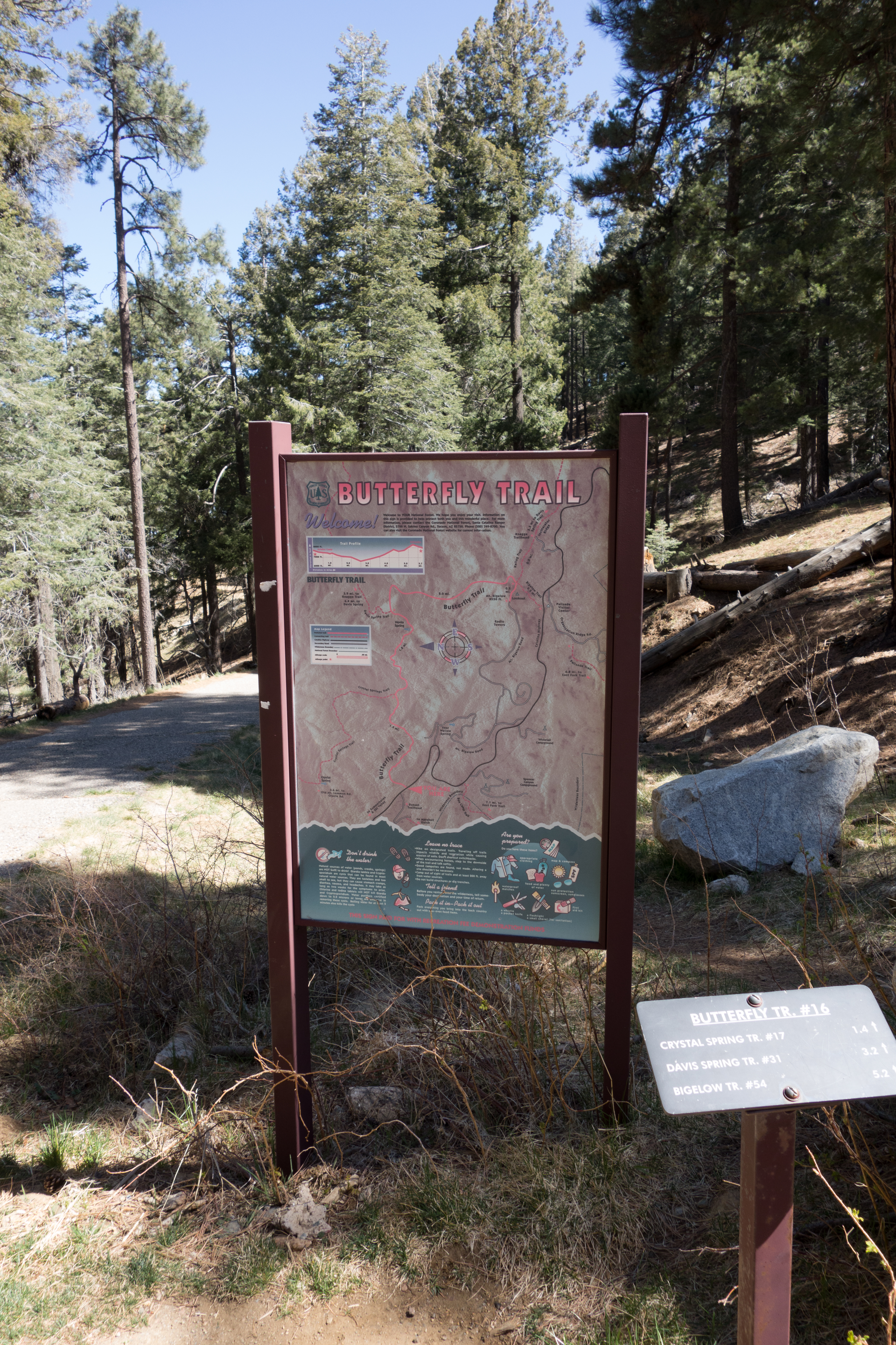
Trail map sign and small trail sign at the Butterfly Trailhead. April 2014.
Driving Directions
Suggested driving directions from the Speedway and Campbell intersection in Tucson to the Upper Butterfly Trailhead:
- Drive East on Speedway (5.0 miles)
- Left on Wilmot and continue on Tanque Verde (4.3 miles)
- Left on Catalina Highway (27 miles)
- Signs mark the turn into the Butterfly Trailhead on the up-mountain side of the Highway.
Google Maps Directions from the Speedway and Campbell intersection in Tucson to Upper Butterfly Trailhead.
Resources
All Trailheads - Map
Update Notes
- 2019/1/29 – Resources section added
- 2017/7/28 – Img Srcset update, All Trailheads map added