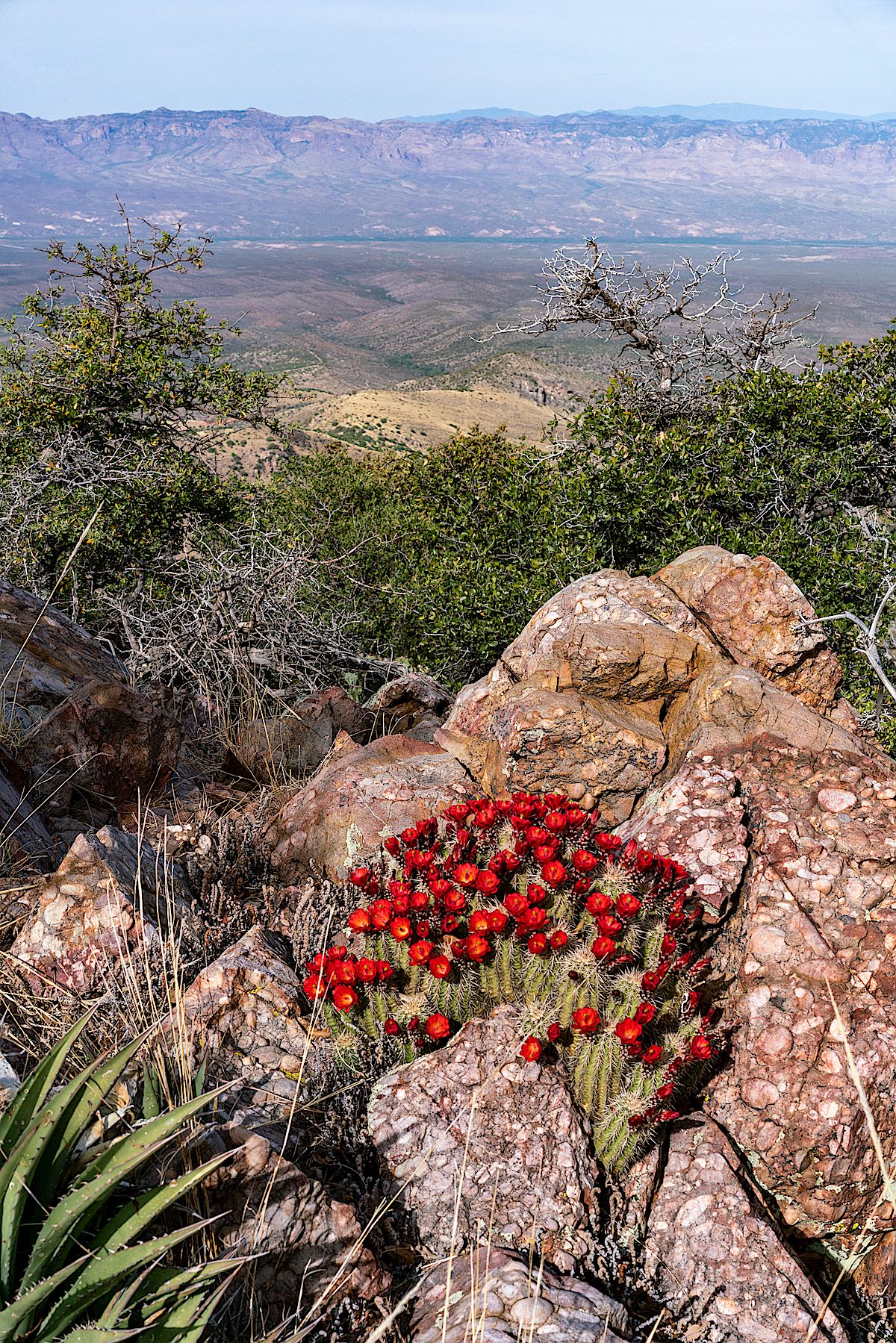
Hedgehog cactus and a view across the San Pedro River Valley from a high point off FR4475. April 2018.
A few minutes from FR639 on the Oracle Ridge Trail I heard my first rattle of the season. With a long stretch of 100 degree days in the forecast it felt like a warning of summer’s arrival – a strange Arizona variation on Groundhog Day with the messenger hidden in the deep dry grass.
Unlike most of the trails in the Santa Catalina Mountains the Oracle Ridge Trail uses a number of Forest Service roads. North east of Rice Peak the trail uses part of a network of roads that ascend from the Control Road in the Peppersauce Wash/Nugget Canyon area and allow 4WD access to the peak.
With enough vehicle traffic these roads would be a dusty misery on foot – but it is easy enough to find days when the roads are quiet and you can use them to make a variety of longer or shorter loops thru the mountains – like many hikers I generally choose trails over roads, but there are so many beautiful details hiding in the mountains, no reason to avoid a quiet road when you have the chance…
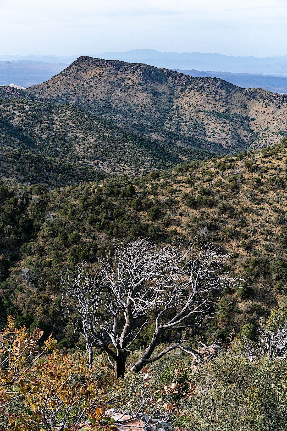
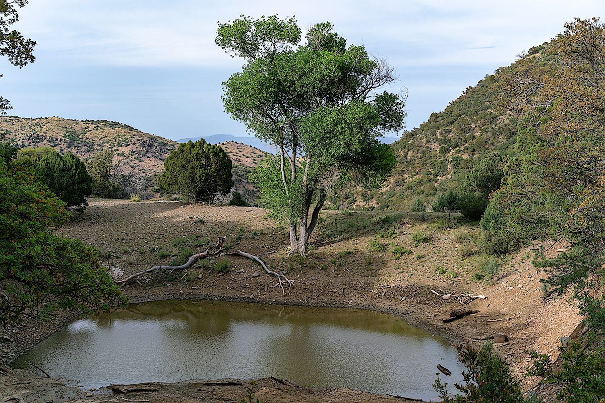
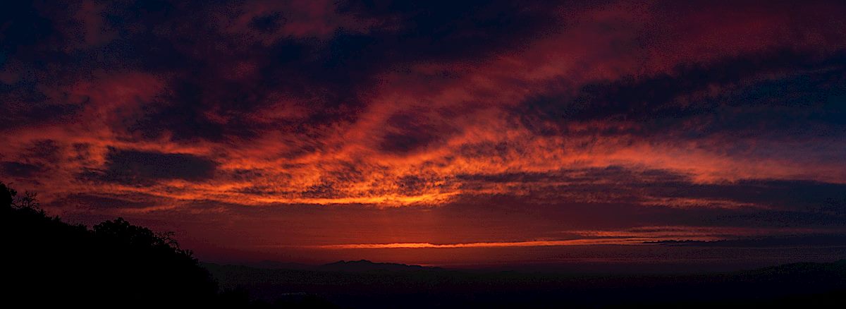
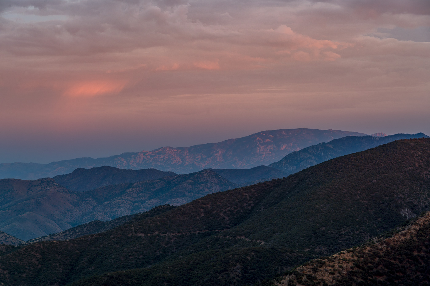
Apache Peak from a high point off FR4475 below Oracle Ridge. April 2018.An unnamed tank near FR4475 and FR4472. April 2018.Sunset from the Oracle Ridge Trail. April 2018.
From the Lower Oracle Ridge Trailhead it is about 4 miles to get to the top of Apache Peak located on the north end of the Santa Catalina Mountains. Most of the miles are on the Oracle Ridge Trail which traverses below the peak, but there is no established trail for the final steep climb, and in my experience while you can pick better/worse ways to the top there probably is not a ‘great’ way up (the climb is not overly long but expect the standard rocky/loose/brushy off-trail Santa Catalina hillside…).
Sun disappearing behind the clouds at the end of the day on Apache Peak. July 2017.
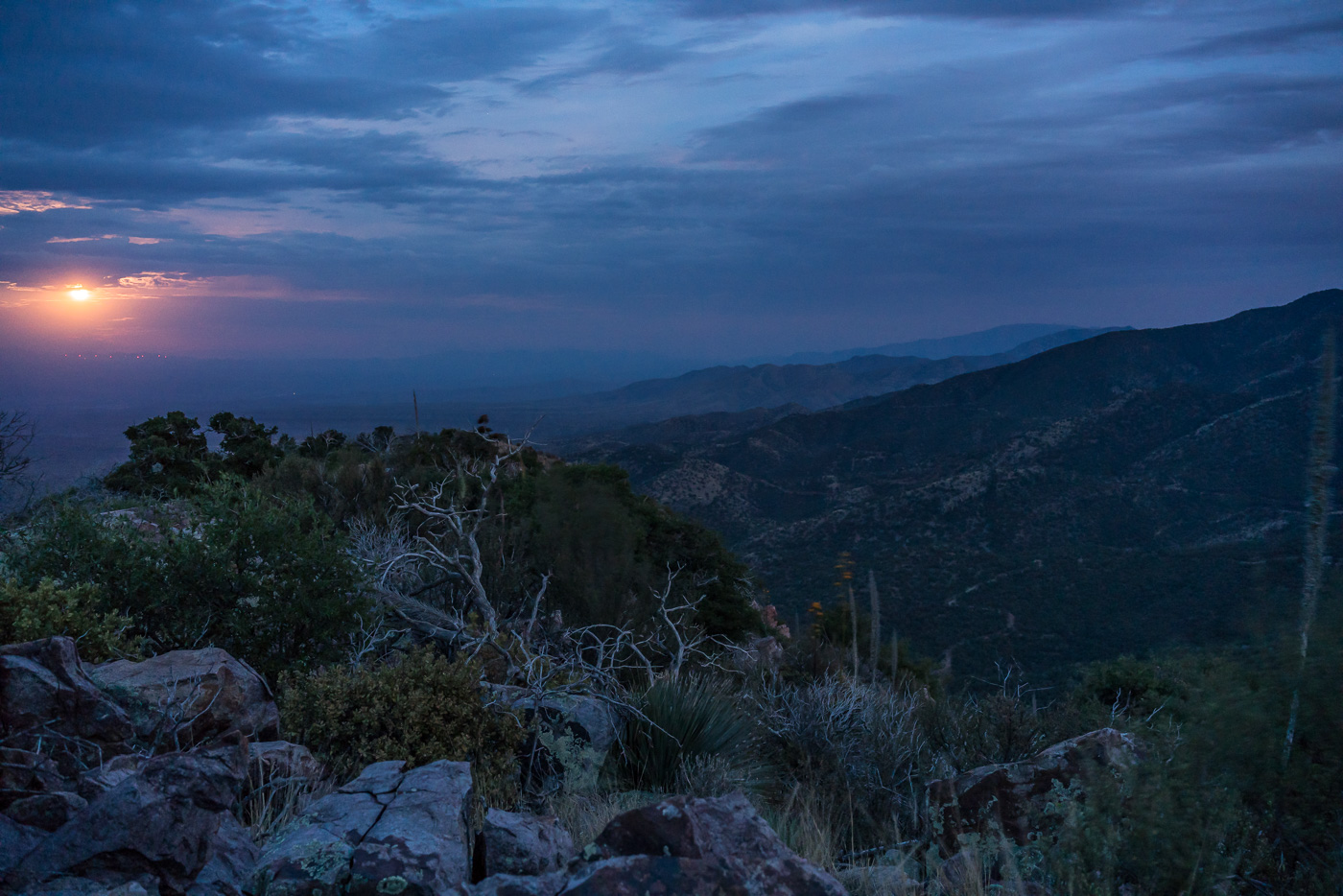
I arrive at the top just in time for the last light on the ridges to the south, the sun dipping below the clouds on the horizon, city lights coming on thru Charouleau Gap and the moon peaking thru the clouds as it rises over the San Pedro Valley – but tonight it is what I don’t see that is the surprise: no glow from the Burro Fire (currently at just over 27,000 acres), no spots of flame visible on the distant ridges and no obvious/large columns of smoke! The Burro Fire is burning to the south – Apache Peak certainly doesn’t have a view directly into the active part of the fire, but I suspect that the fire would have been clearly visible from here several days ago…
Watching the moon rise over the San Pedro Valley from Apache Peak. July 2017.
Clouds covering the moon make the hike back down surprisingly dark – spider eyes glint in the headlamp beam and when I finally slow down to look more closely it turns out to be many more spiders than I thought…
A spider – and many/mini spiders… On the Oracle Ridge Trail. July 2017.
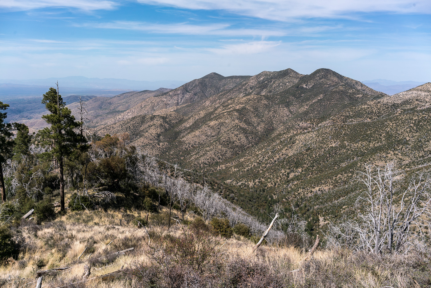
Oracle Ridge and Rice Peak from the Red Ridge Trail – the Catalina Camp Trail can be seen descending from Oracle Ridge towards its junction with the Red Ridge Trail. April 2017.
The Red Ridge Trail, Catalina Camp and Oracle Ridge Trail loop is one of my favorite hikes – and one of my favorites to recommend. I was lucky this month to be able to do the loop twice – once in each direction – and lucky to do it with many different friends who, I think, enjoyed seeing this area of the mountains.
1924, June 29, p. 13 – from the Arizona Daily Star:
The forest service is at present working on the construction of two very interesting trails … Red Ridge trail begins near the main ridge of the Catalinas that the highway crosses, and goes, as the name implies, over the ridges toward Oracle.
I wonder what the trail would have been like then – the stunning views of the Reef of Rock would be the same and with fewer visitors to the mountain in those days the trail was probably, like today, not heavily used. In the 1920s the top of the trail must have been covered in trees and it may have been impressively quiet – today the top of the ridge is largely open, cleared by the 2003 Aspen Fire, and noise from the General Hitchcock Highway is notable (the General Hitchcock Highway, not yet built in the 1920s, is larger, busier and faster than the ‘highway’ referred to in the quote above).
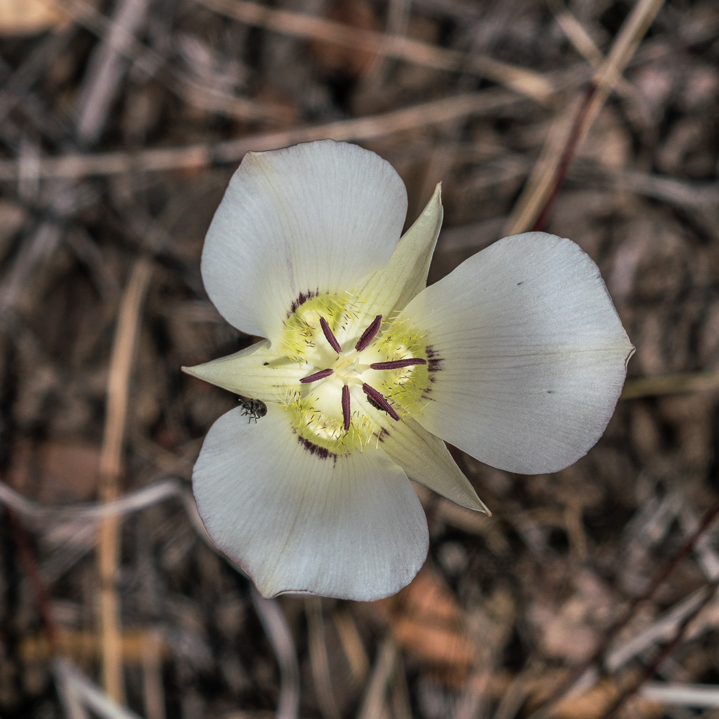
A Mariposa Lilly along the Red Ridge Trail – I wonder if they would have bloomed here when the trail was first constructed? April 2017.
A steep descent – past the edge of the Aspen Fire and into the oaks – takes you to the East Fork of the Canada del Oro. Water flows in this drainage most of the year, always a great spot to stop and enjoy.
A spider hunting over the water in the East Fork of the Canada del Oro. April 2017.
The Red Ridge Trail crosses the East Fork of the CDO and quickly reaches a junction with the Catalina Camp Trail. The Red Ridge Trail continues west, chasing the East Fork down to the Canada del Oro – but this loop turns east onto the Catalina Camp Trail. The Catalina Camp Trail used to be the route of the Arizona Trail as it climbed out of the CDO and up to Oracle Ridge – today the AZT takes a kinder and more practical route straight onto the Oracle Ridge Trail from Summerhaven.
The reason I love this loop is the variety. Red Ridge is a wild place, violently burned in the Aspen Fire, with just a hint of the remoteness that some of the more distant sky islands offer. The Catalina Camp Trail is something altogether different – a few minutes from the junction buildings come into view – the address above one of the doors reads ‘One Park Place’.
A moon on the old outhouse near 1 Park Place. April 2017.
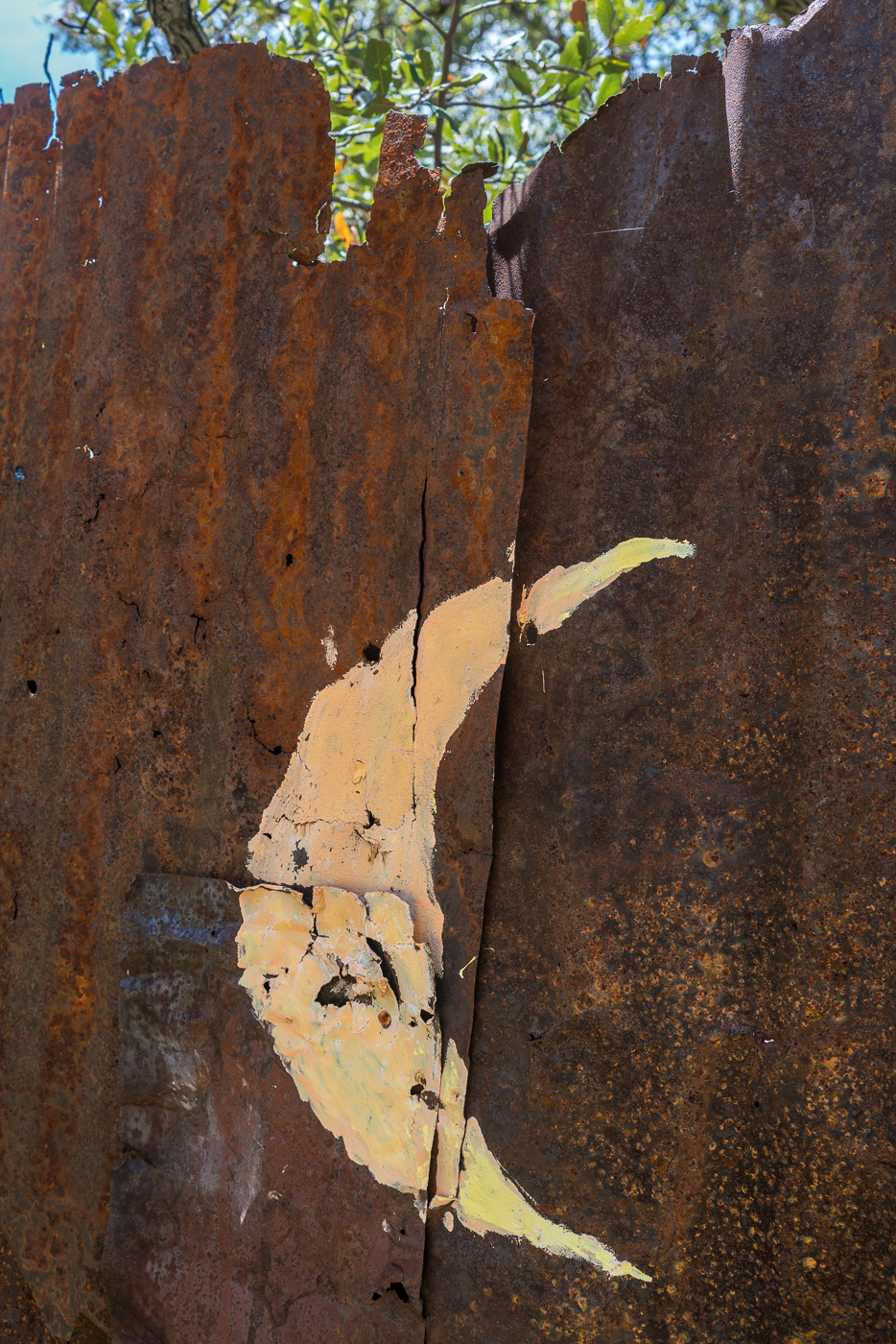
These buildings seem out of place, but they are part of the long history of mining in the Santa Catalina Mountains that predates the construction of the Red Ridge Trail by many years – if you know where to look you can see old equipment rusting back into the earth, disappearing remains of old mining operations.
At Dan Saddle the Catalina Camp and Oracle Ridge Trails meet and this loop joins the current route of the Arizona Trail. The Oracle Ridge Trail between Dan Saddle and the Oracle Ridge Trailhead routes you on and off an old road with views of Marble Peak (a long-time mining area). This area has none of the wildness of Red Ridge – but what it adds to this loop is views of east side of the Santa Catalina Mountains and the San Pedro River Valley – a surprisingly remote area when you consider how close it seems on a map. If you travel out to the east side of the Santa Catalina Mountains it is rare to see other hikers these days – with good reason I suppose, it is an hour (or more) drive from Tucson to reach the start of the long 4wd roads that access the few existing trailheads. The area probably saw more use before the 2003 Bullock fire when the Davis Spring and Brush Corral Trails could still be followed down into the area – now those trails are just off-trail routes…
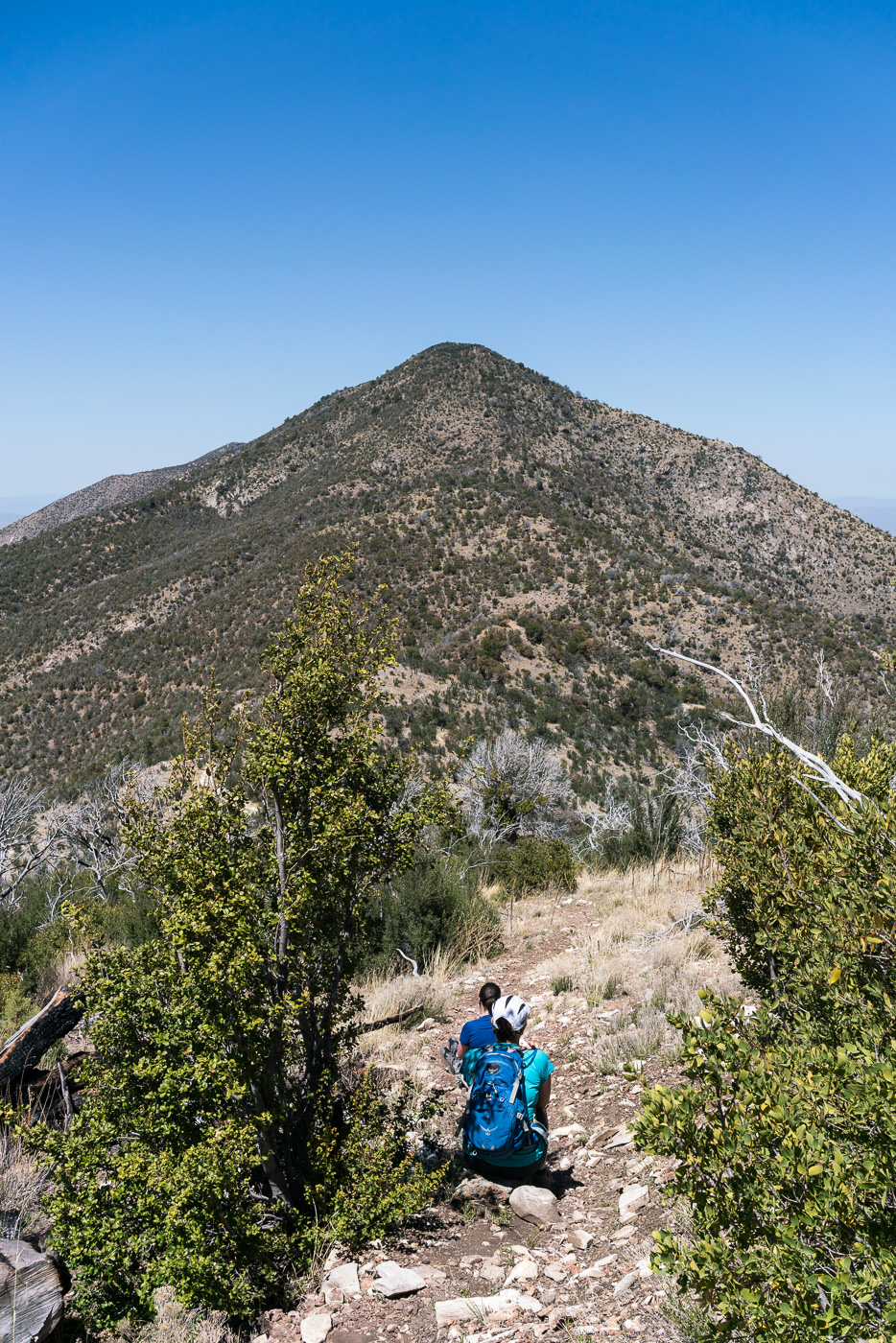
Dana and Traci taking a break and enjoying the view on the Oracle Ridge Trail. April 2017.
The Oracle Ridge Trailhead and Red Ridge Trailhead are close enough together that you can walk between them to start, or complete, the loop. Perhaps under-emphasized in the description above is that in addition to being about 9 miles long the loop has around 2800′ of elevation loss and gain, definitely worth considering before committing to this loop!
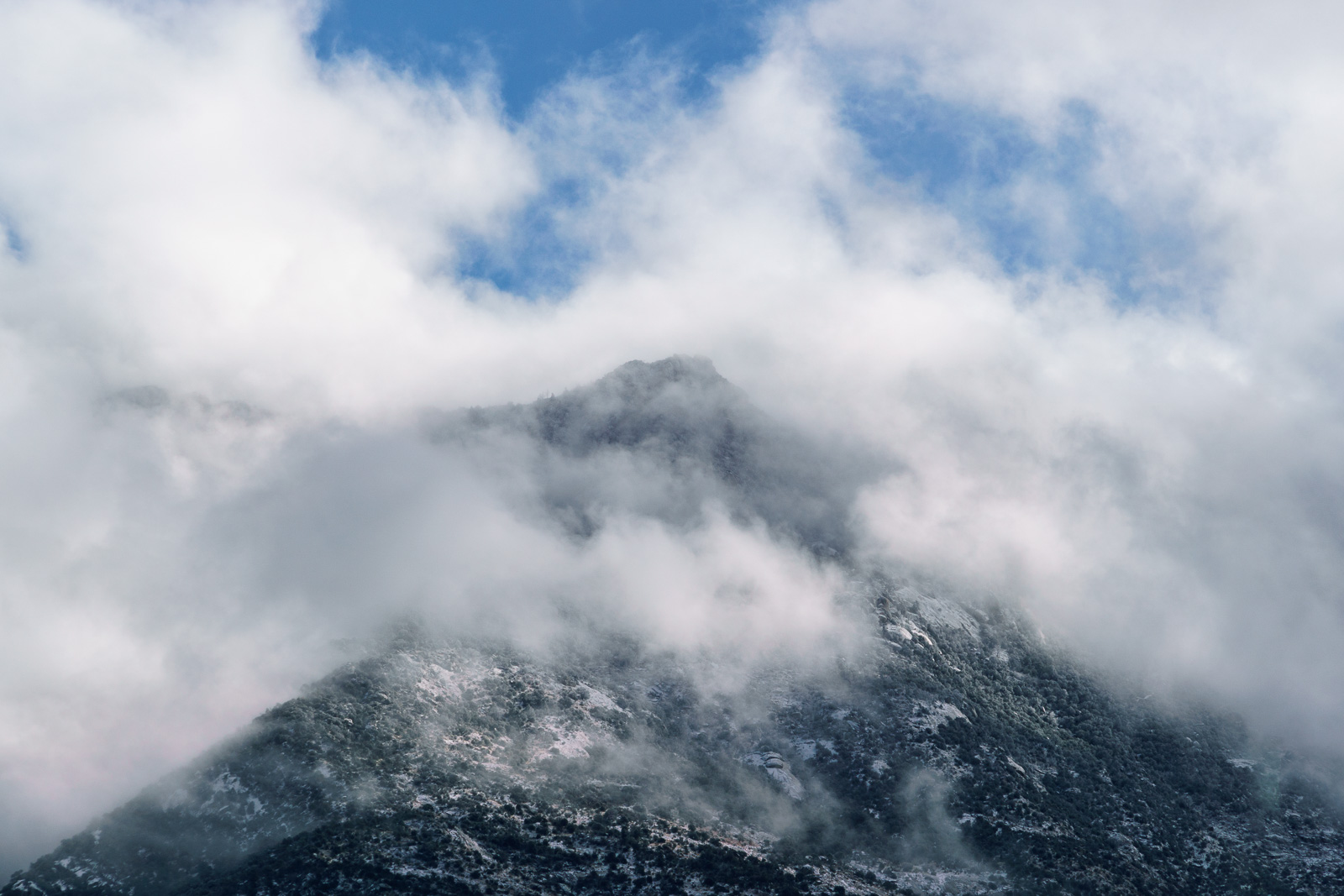
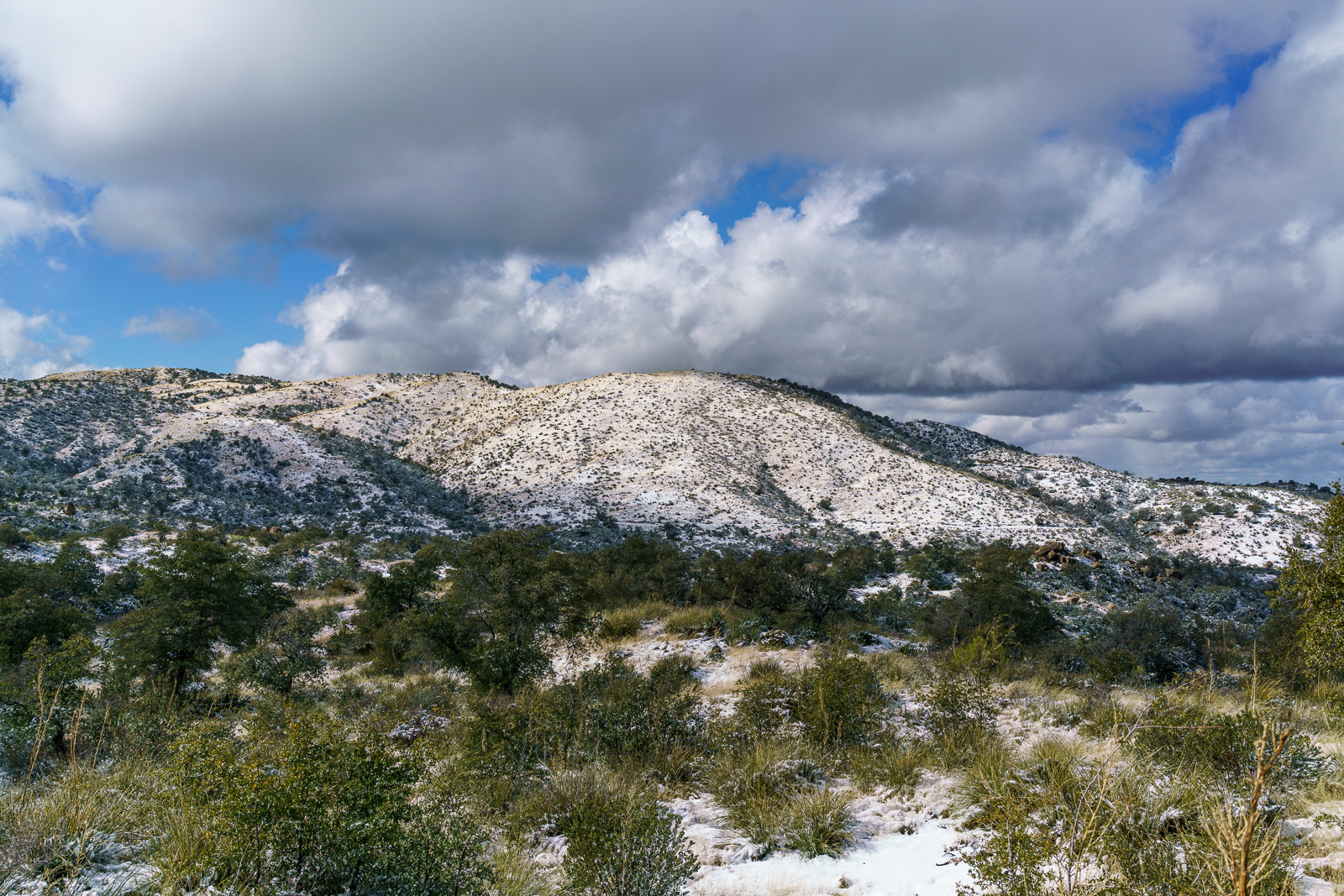
Clouds covering the mountains from the Golder Ranch Area. December 2016.
Snow!!! The snow on the mountain was spectacular today – we took photos from Golder Ranch Road and then hiked a few miles up the snowy Oracle Ridge Trail from the Lower Oracle Ridge Trailhead. By the time we turned around the snow was already disappearing – the forecast for the next few days is in the 60s and 70s, higher on the mountain there will be snow to enjoy – but lower on the mountain it is quickly disappearing…
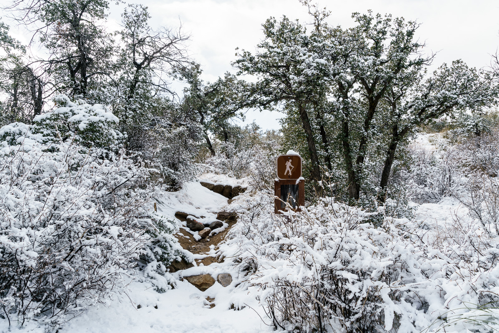
Snow on the Oracle Ridge Trail at the Lower Oracle Ridge Trailhead off the Cody Loop Road in Oracle. December 2016.A Barrel Cactus along the Oracle Ridge Trail. December 2016.A snowy Oracle Hill from the Oracle Ridge Trail. December 2016.
A hummingbird perches in the shade near the Lower Oracle Ridge Trailhead. June 2016.
In Oracle on an errand I hiked from the Lower Oracle Ridge Trailhead on the Oracle Ridge Trail – it was a hot day and I didn’t have time to go very far, but it didn’t matter – it was just great to spend a few minutes on the trail.
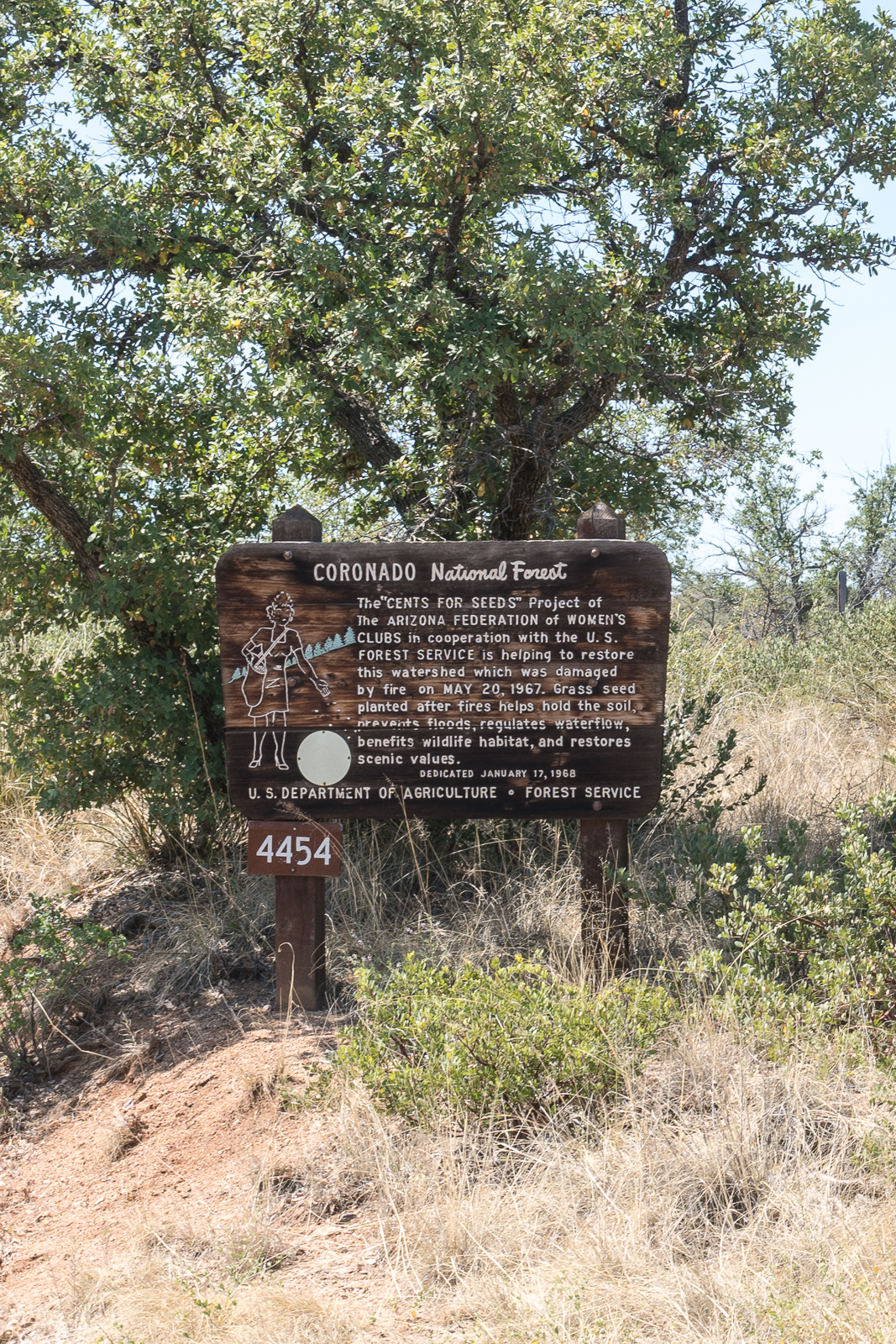
“CENTS FOR SEEDS” sign at FR4454. June 2016.
There is an interesting Coronado National Forest sign on the Cody Loop Road – the sign, on a small road in Oracle, and information, about a project from the late 1960s, seem, at best, obscure – but old newspaper articles quickly fill in the gaps – from the Tucson Daily Citizen, Friday, January 12, 1968, Page 13:
The second “cents-for-seeds” marker, sponsored by the Arizona Federation of Women’s Clubs (AFWC) and the Arizona Federation of Junior Women’s Clubs (AFJWC), will be unveiled and dedicated Wednesday at 2 p.m. The ceremony will take place near Camp Sue, Arizona Children’s Colony Lodge, Oracle. The day’s program will begin at 11 a.m. and Clyde W. Doran, forest supervisor, Coronado National Forest, will be master of ceremonies. Mrs. E. M. Bredwell, president of the AFWC, will talk on the “cents-for-seeds” project. Mrs. James R. Higgs, president of the AFJWC, will speak on the conservation activities of the AFJWC. Luncheon will be served by the Arizona-New Mexico Forest Products Industries Committee. Members of the Oracle Woman’s Club will be luncheon hostesses. The combined membership of these two statewide organizations is over 6,000. [?]11 member clubs support the “cents-for-seeds” project, which involves collecting funds for the reseeding of Arizona National Forests damaged by fires. Markers are erected to remind the traveling public of its responsibility to protect the land.
And more information about the fire from The Arizona Republic, Wednesday, January 17, 1968, Page 9:
The U.S. Forest Service will erect a large redwood sign commemorating the reseeding of the burn, which blackened more than 1,450 acres of grass and scrub oak near Oracle last May 20. The fire, which cost $80,000 to suppress, was started by children. It burned for two days and at one time threatened Oracle. No buildings were destroyed although the flames came as close as a quarter-mile to some Oracle homes.
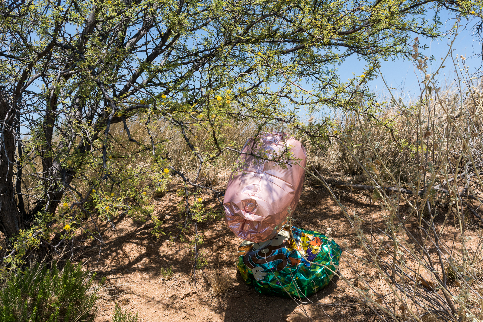
Balloons – now trash – near the Arizona Trail outside of Oracle. June 2016.