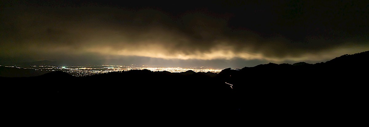
Light from Tucson, taken on Guthrie Mountain. May 2019.
On Guthrie Mountain cloudy grey skies block the stars, light from Tucson reflects off the clouds and floods into the mountains. Thru the camera lens the city lights are white hot metal, the clouds rising steam – the energy coming from the city is unfathomable, tonight it seems like Moloch’s incomprehensible prison is Howling out into the mountains.
Moloch whose eyes are a thousand blind windows! Moloch whose skyscrapers stand in the long streets like endless Jehovahs! Moloch whose factories dream and croak in the fog! Moloch whose smoke-stacks and antennae crown the cities!
Moloch whose love is endless oil and stone! Moloch whose soul is electricity and banks! Moloch whose poverty is the specter of genius! Moloch whose fate is a cloud of sexless hydrogen! Moloch whose name is the Mind!
Clouds, city and headlights on the highway from Guthrie Mountain. May 2019.
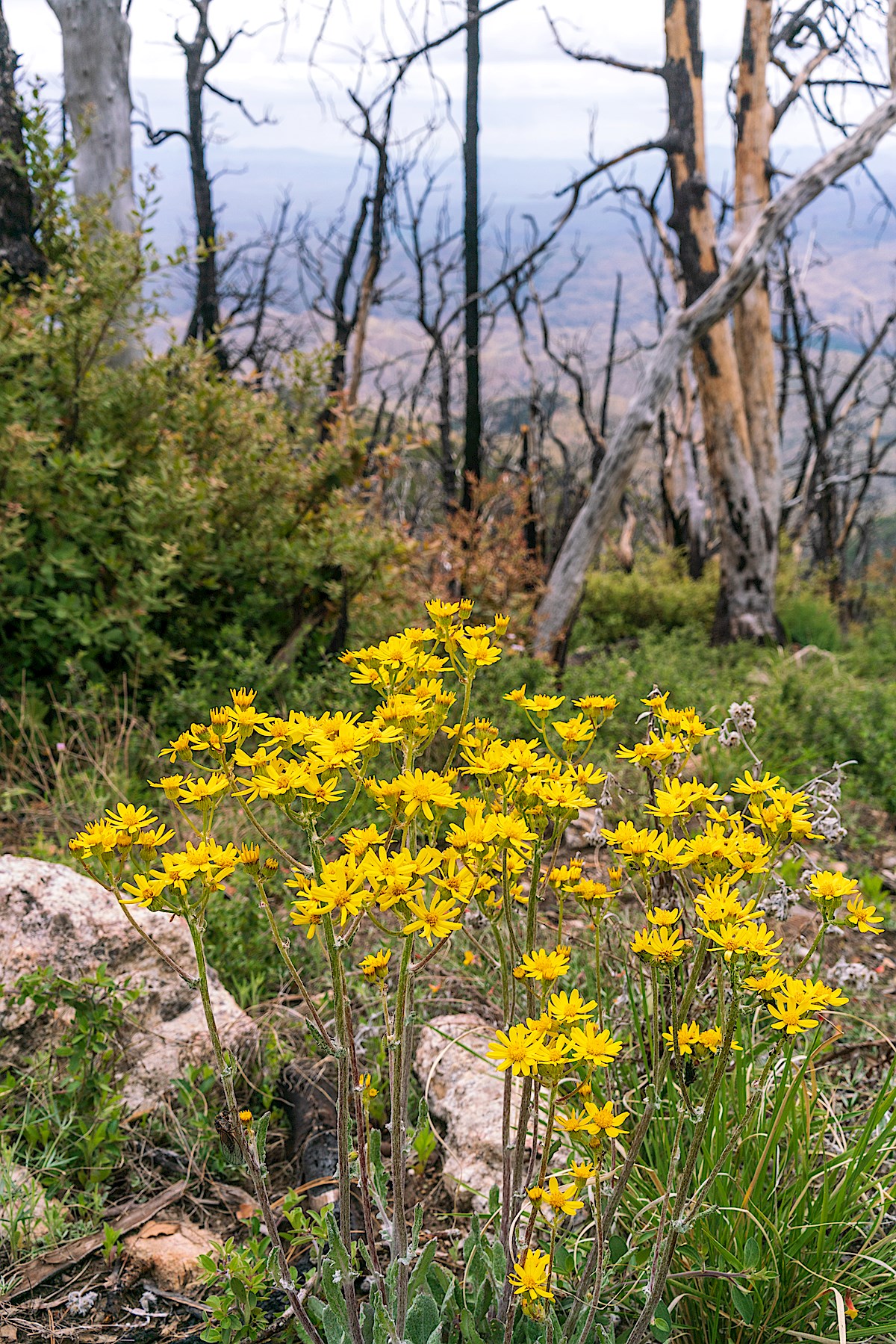
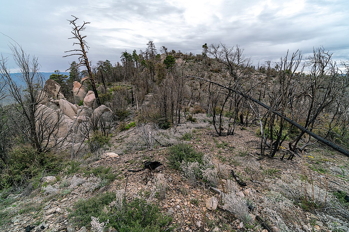
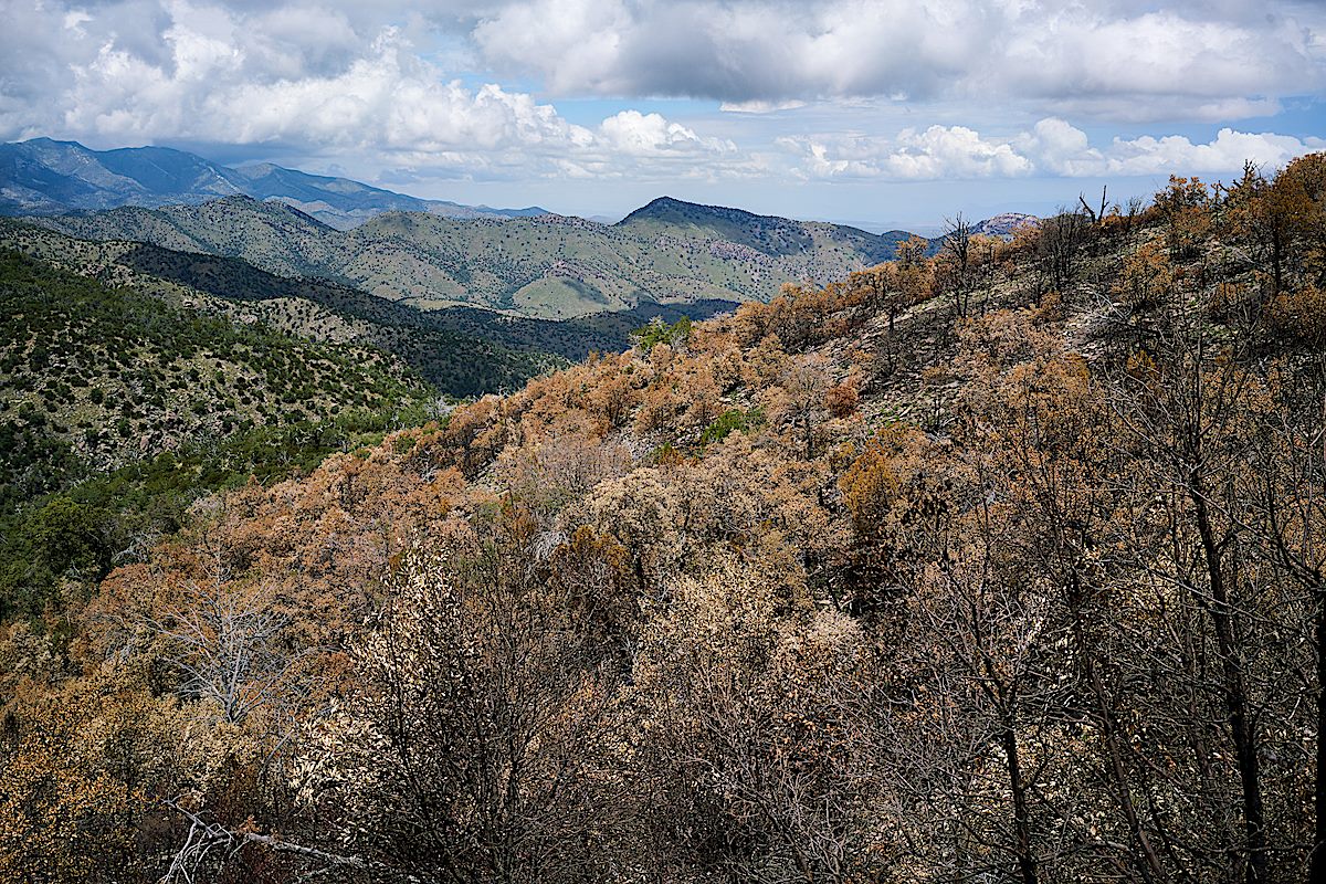
The images and thoughts above are fleeting – most of my overnight is the simple joy of being outside, nothing to do with Ginsberg’s anger and frustration – old graffiti and new flowers on the Green Mountain Trail; thick lines of black ants, new ferns and water at Maverick Spring; blackened trees, new views and fresh flowers in the Burro Fire burn that covers most of Guthrie Mountain and the ridge out to and past Point 7162.
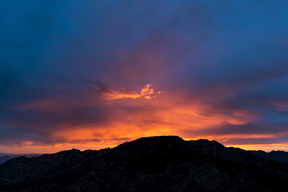
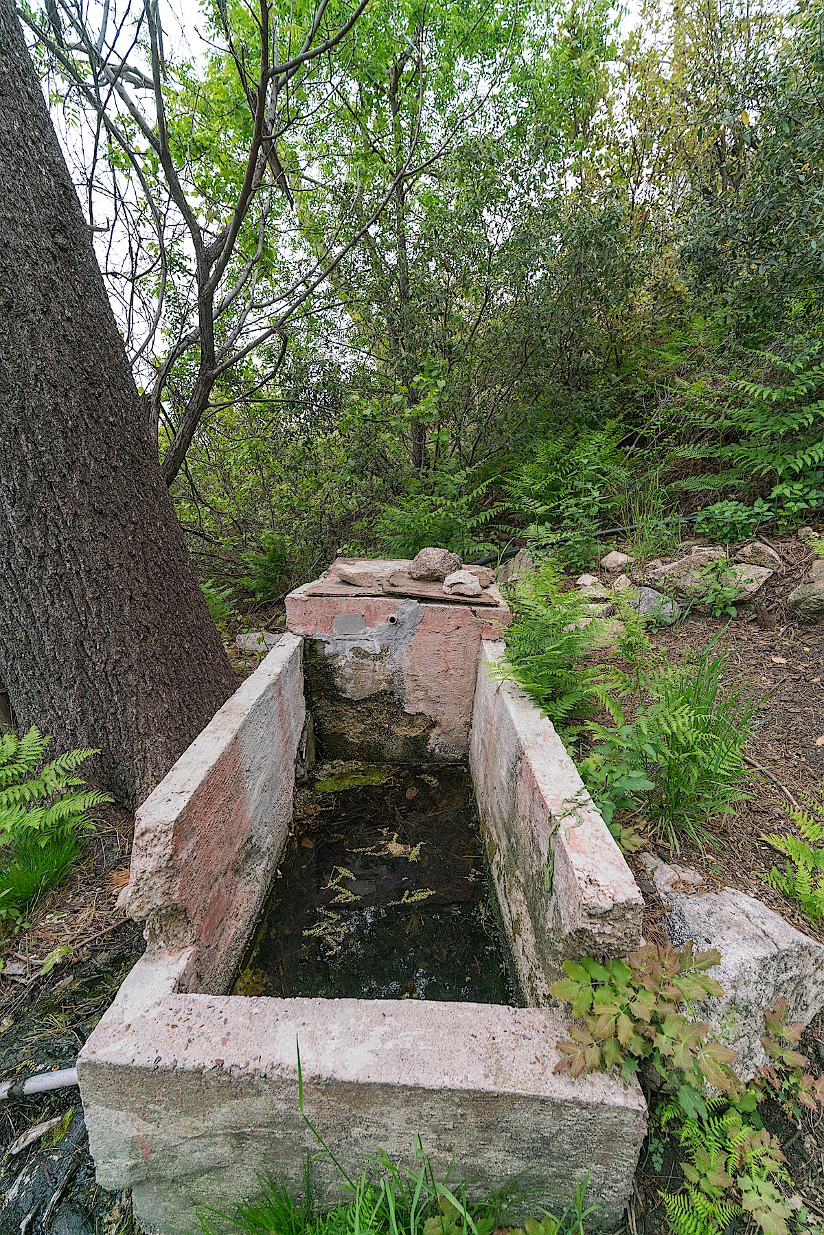
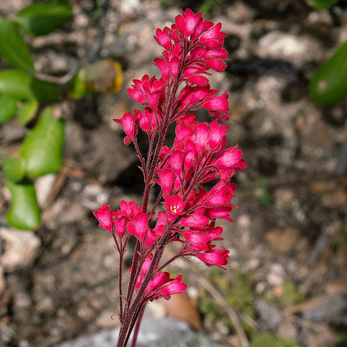
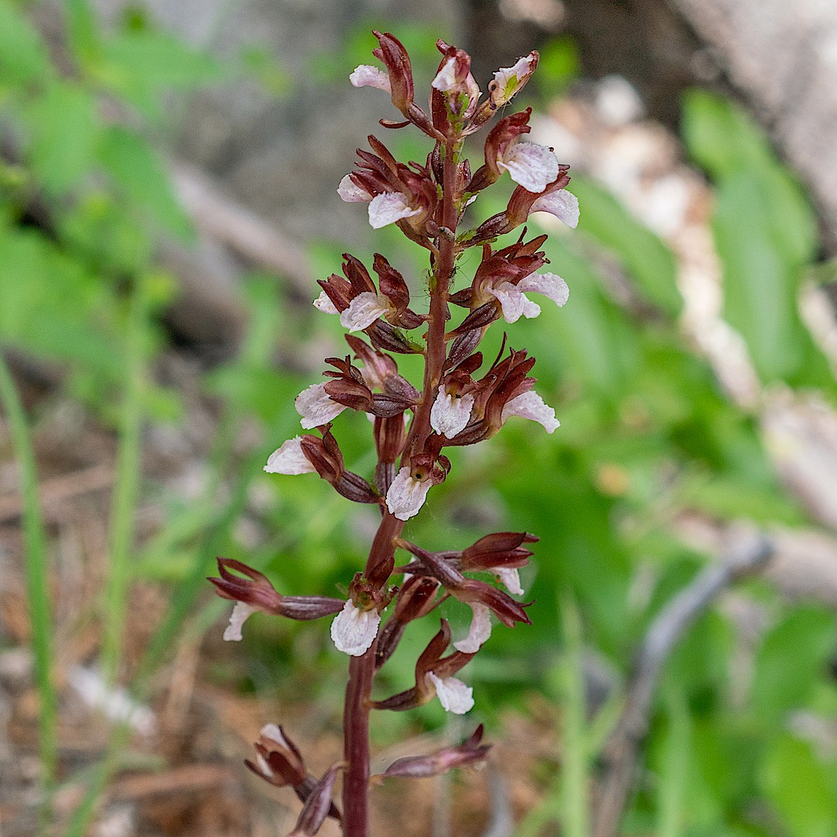
Sunset over Green Mountain – from Guthrie Mountain. May 2019.Flowers growing in and area burned by the Burro Fire. May 2019.Below Point 7162 in an area burned by the Burro Fire. May 2019.Tank with water at Maverick Spring. May 2019.Coralbells on the Green Mountain Trail. May 2019.Coralroot on the Green Mountain Trail. May 2019.
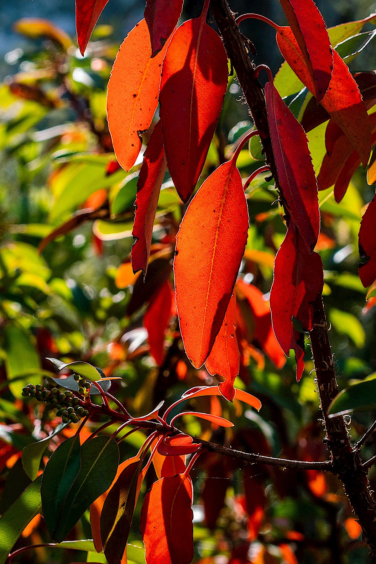
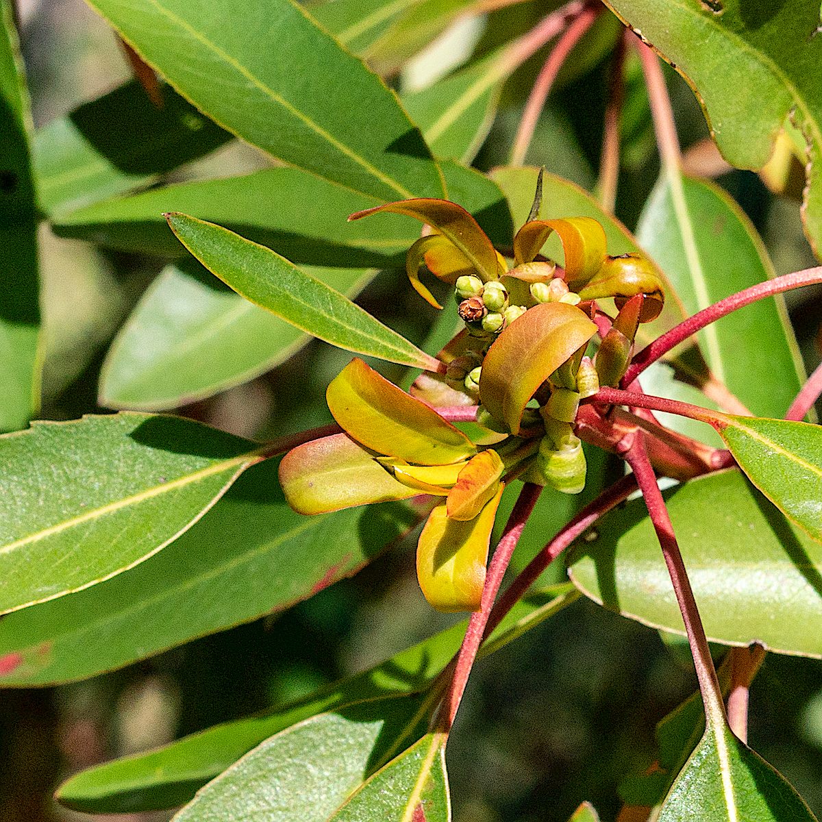
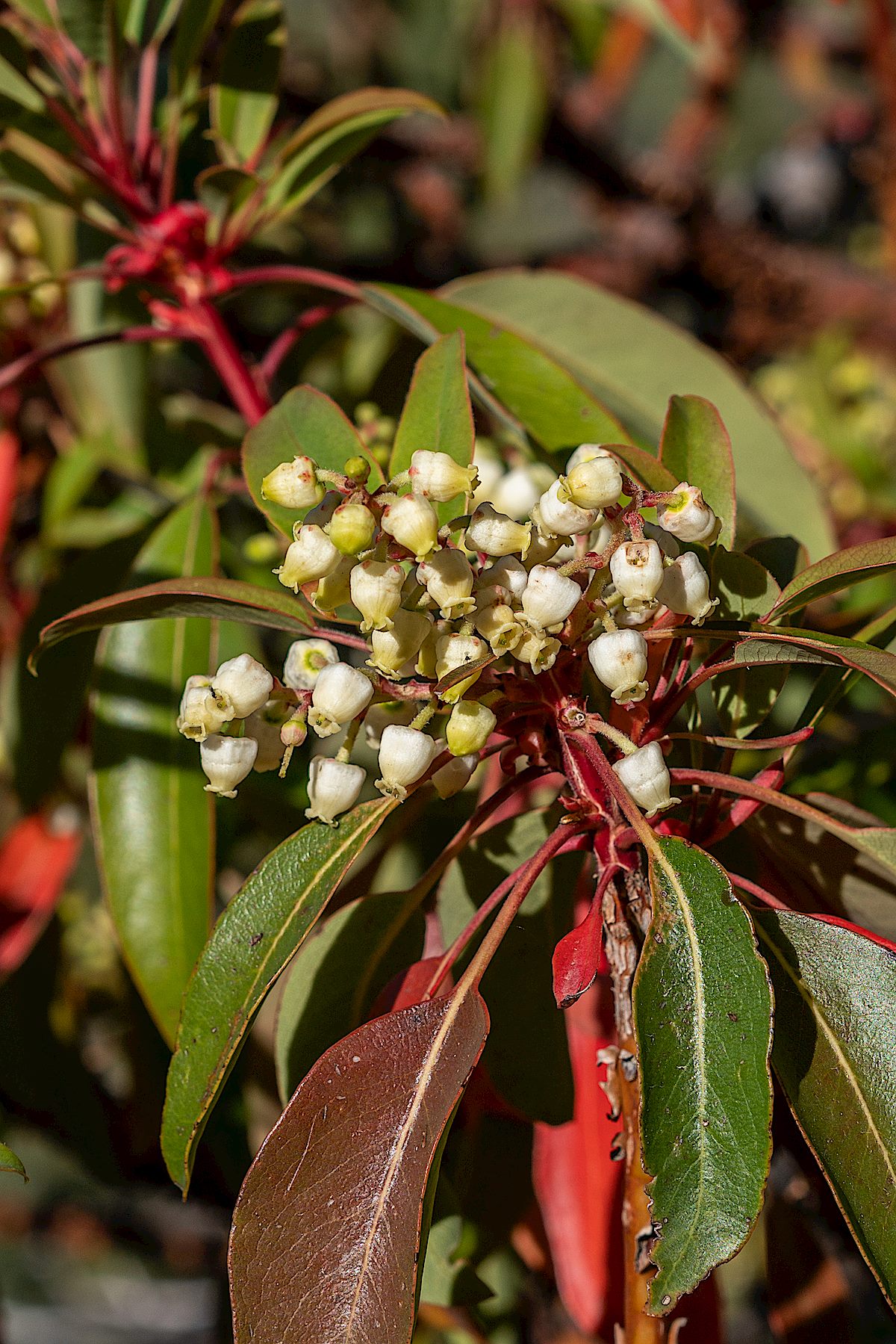
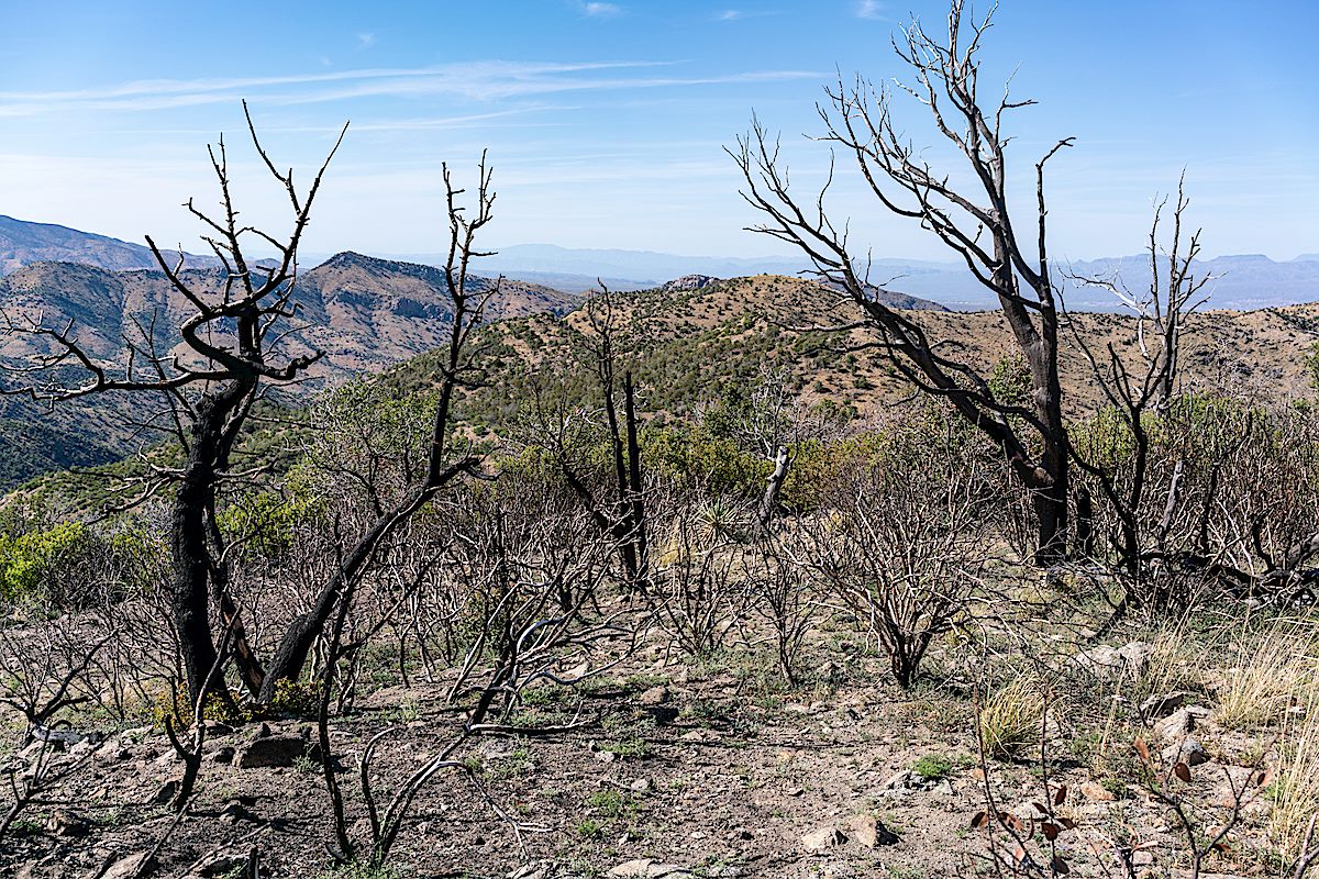
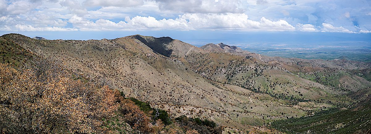
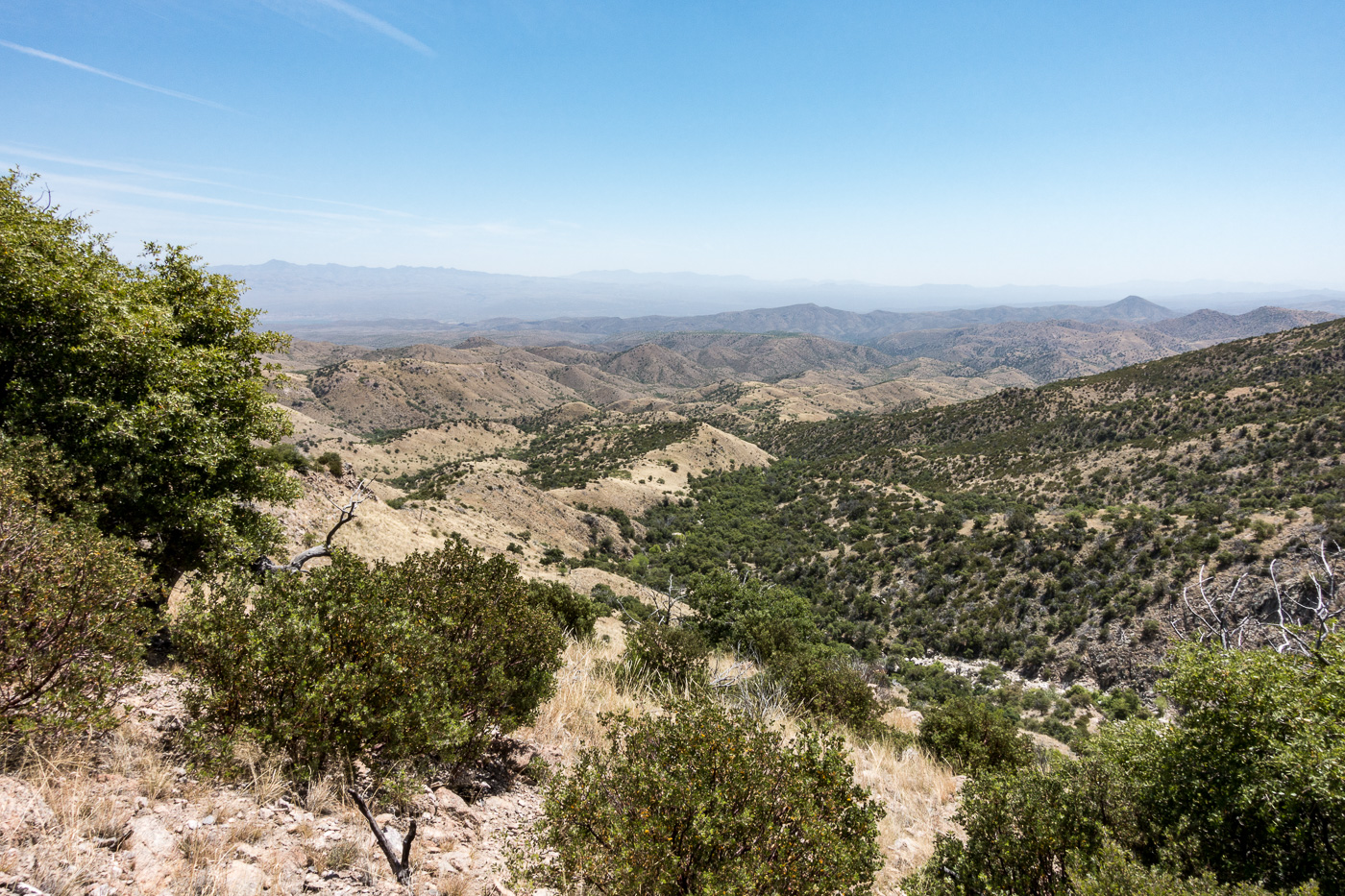
New growth, flowers and sunlit red leaves on the Madrones – beautiful details along the Brush Corral Shortcut Trail and the Upper Brush Corral Trail. Further down the Upper Brush Corral Trail areas burned in the Burro Fire come into view – along the trail these areas look largely the same as they did last year – but it is interesting to see that, from a distance anyway, the slopes of Evans Mountain already look less brown than they did last July.
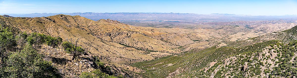
Madrone – New Growth. May 2018.Madrone – Flowers. May 2018.Burro Fire Burn. May 2018.A view of Evans Mountain and Buehman Canyon from the current end of the Upper Brush Corral Trail. May 2018.
View from near the end of the Upper Brush Corral Trail. July 2017.
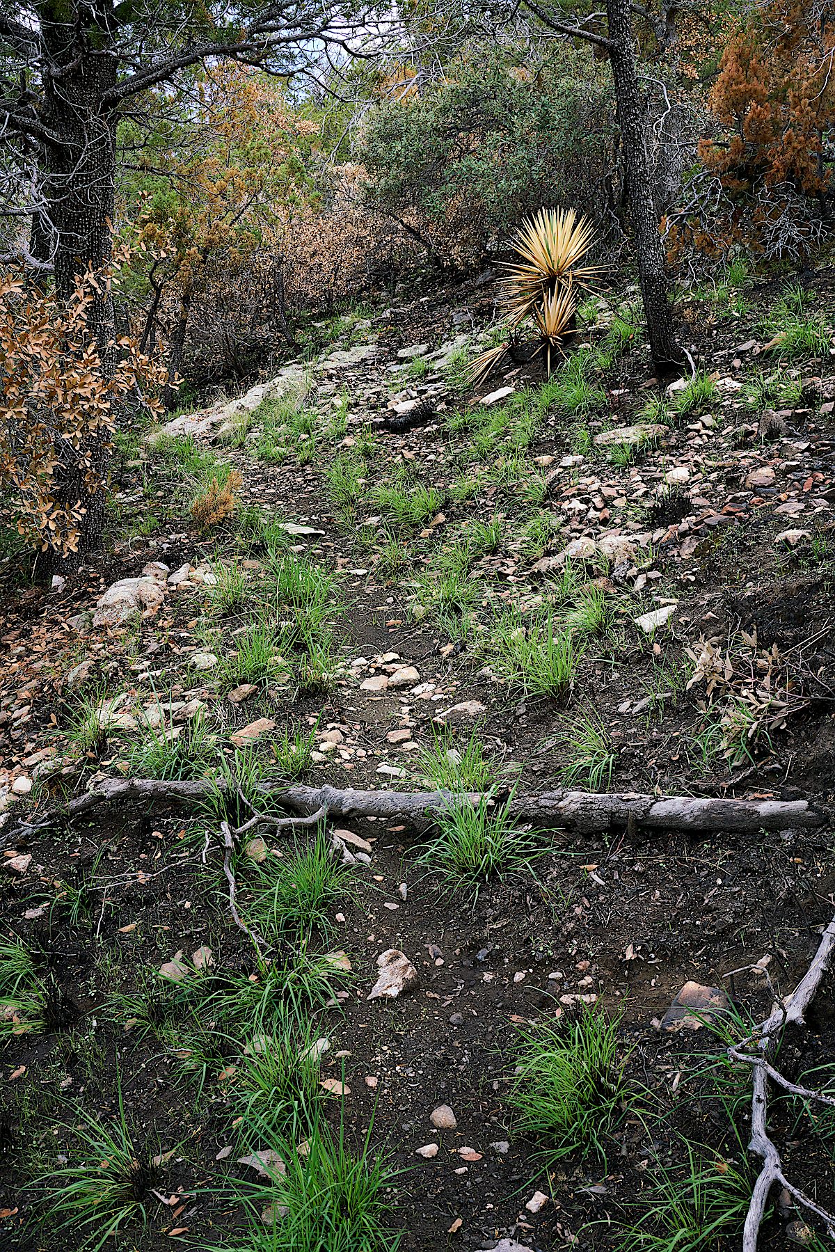
Up to the junction with the Brush Corral Shortcut Trail there is no evidence of the Burro Fire on the Upper Brush Corral Trail – and even below the junction it takes some time to enter areas touched by the fire. But as you get closer to ridge where the Brush Corral Trail devolves into an off-trail route areas burned in the fire start to appear.
New grass Just weeks after the Burro Fire. July 2017.
Lower on the trail the impact of the burn is more severe but, somehow, maybe because some of this area burned in the 2002 Bullock Fire, the changes in this area don’t seem as shocking as on the top of Guthrie Mountain. The Upper Brush Corral Trail down into the more obscure part of the trail below the Brush Corral Shortcut Trail junction is definitely an interesting way to get a first hand look at the impact of the Burro Fire.
Looking over a hillside burned in the 2017 Burro Fire. July 2017.A Manzanita cleaned by the Burro Fire. July 2017.
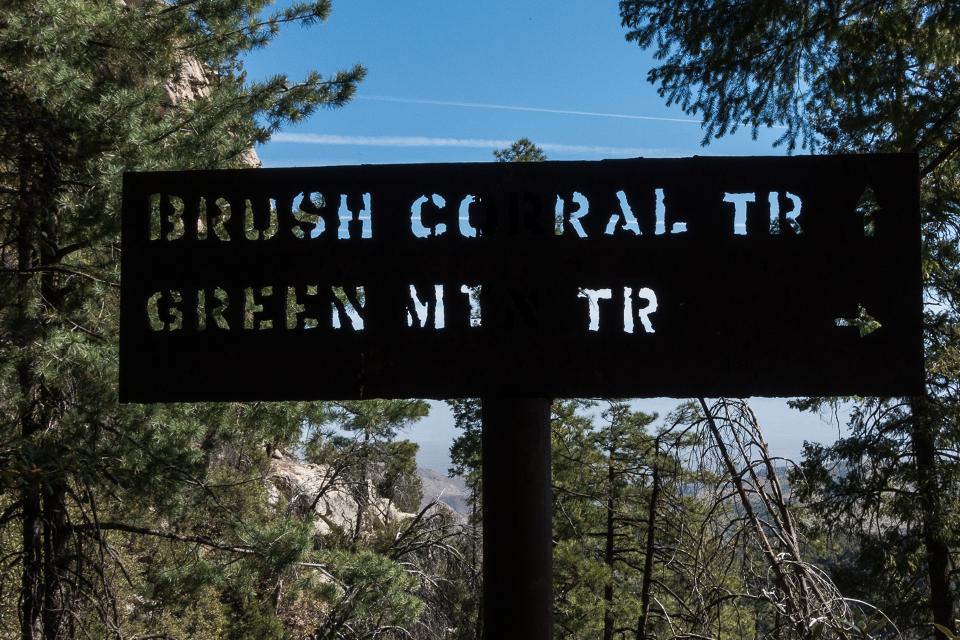
At the junction of the Brush Corral and Green Mountain Trails. April 2017.
In the early 20th century the Brush Corral area on the east side of the Santa Catalina Mountains featured a Ranger Station with a 3 room adobe building and a telephone connection up to Mount Lemmon. Today the area is just another indistinct flat along Buehman Canyon… Forest Road 4407 (Brush Corral Road) still allows high-clearance access into the area from Redington Road near the San Pedro River – but I would guess that the area saw more visitors in the the 1910s/1920s than it sees today.
I am not sure when the Forest Service began using Brush Corral on the east side of the Santa Catalina Mountains. It is absent from the 1904 Tucson topographic map and with a number of ranches and other Ranger Stations noted its omission seems notable. Jim Westfall – hired by the Forest Service in 1906 – and his wife Leeta were early residents, spending winters at Brush Corral after working on the mountain during the spring, summer and fall. Newspaper articles from 1911 and 1912 mention Brush Corral because it was on the route of a phone line being built from Tucson to Soldier Camp, down to Brush Corral and south to the Spud Rock Ranger Station in the Rincons. In a 1964 Arizona Daily Star article by Pete Cowgill Gilbert Sykes, a Forest Service employee after WWI, says “Brush Corral was used more as a camp with a guard stationed there two or three months of the year. The guard would work on grazing permits, timber sales and, of course, watch out for fires. But it was not a permanent ranger station like the one located, but not now used either, at Oracle”. The same article mentions that the cabin – possibly built about 1913 – was sold around 1925 and the timber removed.
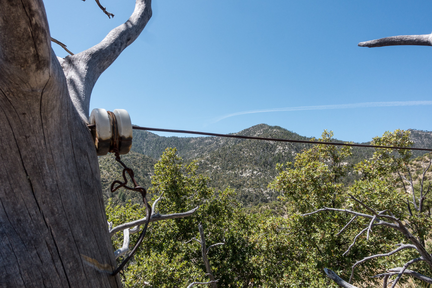
Remains of the phoneline from the 1910s that came up from Tucson and over to the Brush Corral Ranger Station. April 2017.
Our ride dropped us at the Upper Green Mountain Trailhead, our destination was a vehicle we had dropped on FR4407 the previous day – it had been hours of driving to drop a vehicle, but it made our hike much simpler – no need to worry about the time needed to climb back up the mountain, carry overnight gear or make an uncomfortably hot walk out on Redington Road.
The Brush Corral Trail was described in the first three editions of the [GuideYellowBook/] as “fair to very poor” and, after extensive work by the Southern Arizona Hiking Club in the late 1980s, was upgraded to “fair to good” in the 1990s. But those descriptions are pre-2002-Bulllock Fire… There are two notable posts online about this trail from after the Bullock Fire – Scott Morris’s ‘Brush Corral Epic’ from 2004 and Sirena Dufault’s ‘Brush Corral Trail’ from 2010. We knew from those posts, and a hike I made in 2013, that it would probably be difficult, or impossible, to find all of the trail – our planning left a comfortable amount of time for traveling at an off-trail-didn’t-pick-the-best-way-thru-the-manzanita-are-we-on-the-right-ridge kind of pace…
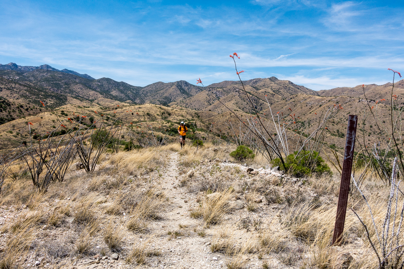
Running an upper section of the trail – the Brush Corral Trail is easy to follow and in decent shape down the junction with the Brush Corral Shortcut Trail. April 2017.
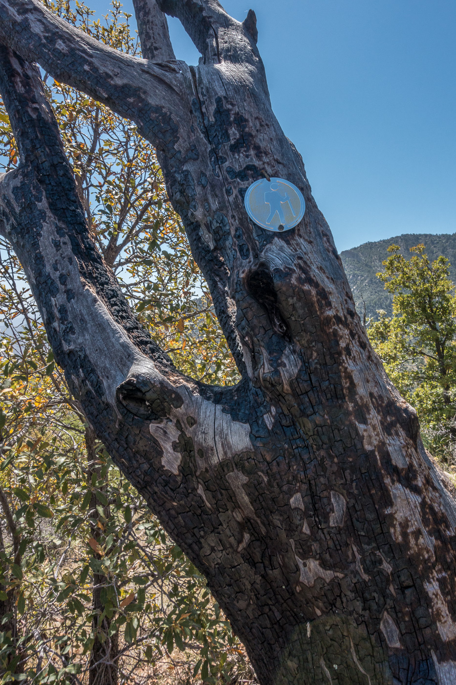
We quickly reached the Brush Corral Trail’s junction with the Green Mountain Trail and started the descent to the junction with the Brush Corral Shortcut Trail – this section of trail is still in decent condition and is easy to follow. Below the junction with the Brush Corral Shortcut Trail the trail immediately becomes overgrown and interrupted by fallen trees, but it was still easy to follow until – at an old metal trail marker – the trail emerged from the trees and became an off-trail ‘route’.
A metal trail marker – it was encouraging to see this, but beyond this point the ‘trail’ was distinctly harder to find. April 2017.Looking down on the ridges that the Brush Corral Route follows. April 2017.
We found stretches of the old trail, and cairns sometimes helped us stay on course – but in sections we just wandered across the ridges, perhaps we could have found more of the old trail but the terrain was not particularly difficult off-trail walking and rather than hunt for the old track it seemed more interesting to just keep moving forward.
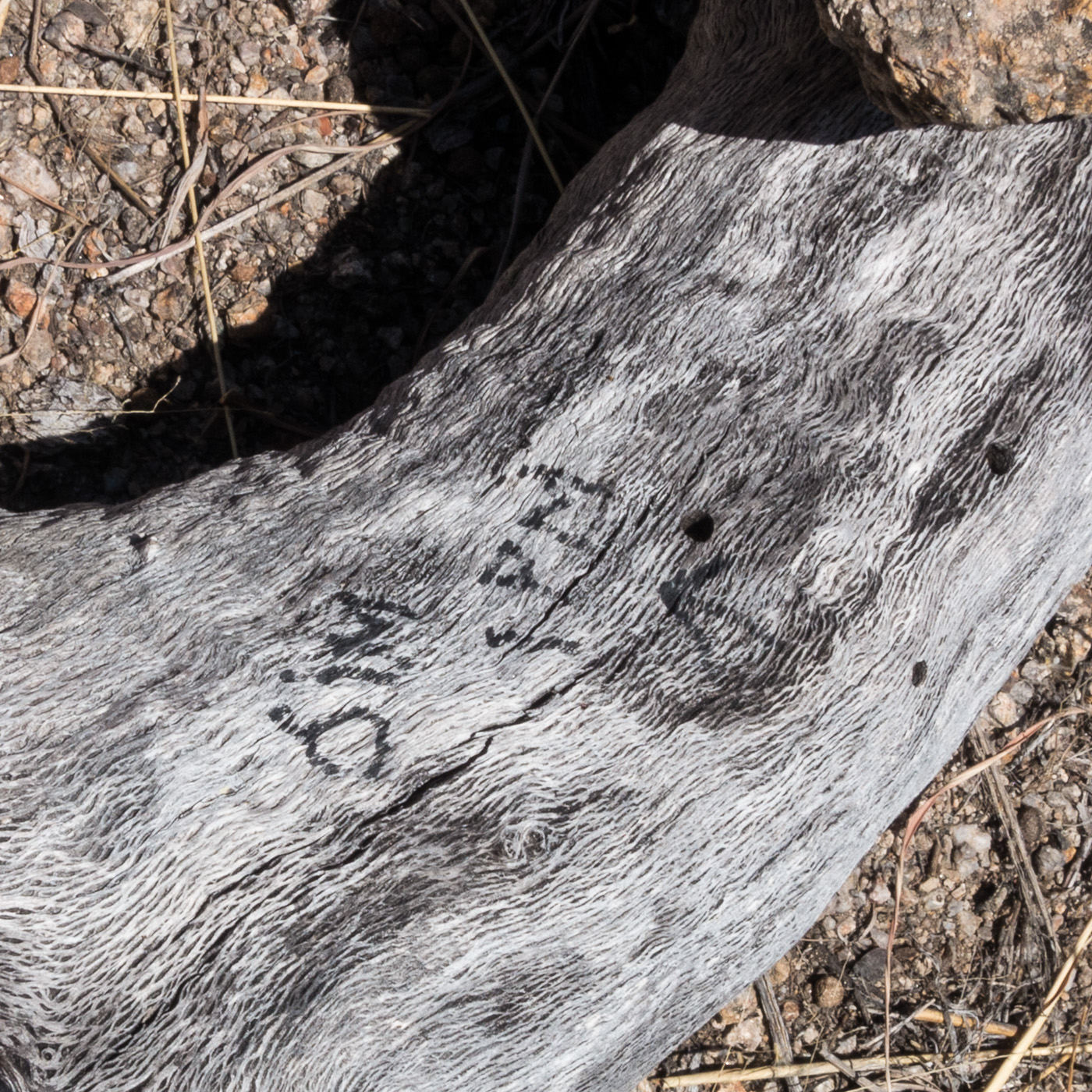
A rather alarming note – ‘Jim – 1PM’ – next to a small cairn – if anyone knows the story on this I would love to hear it… April 2017.
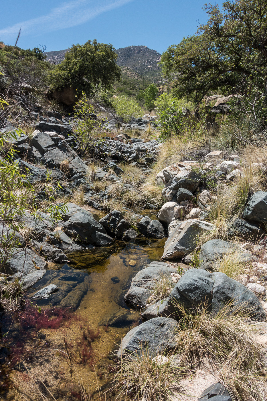
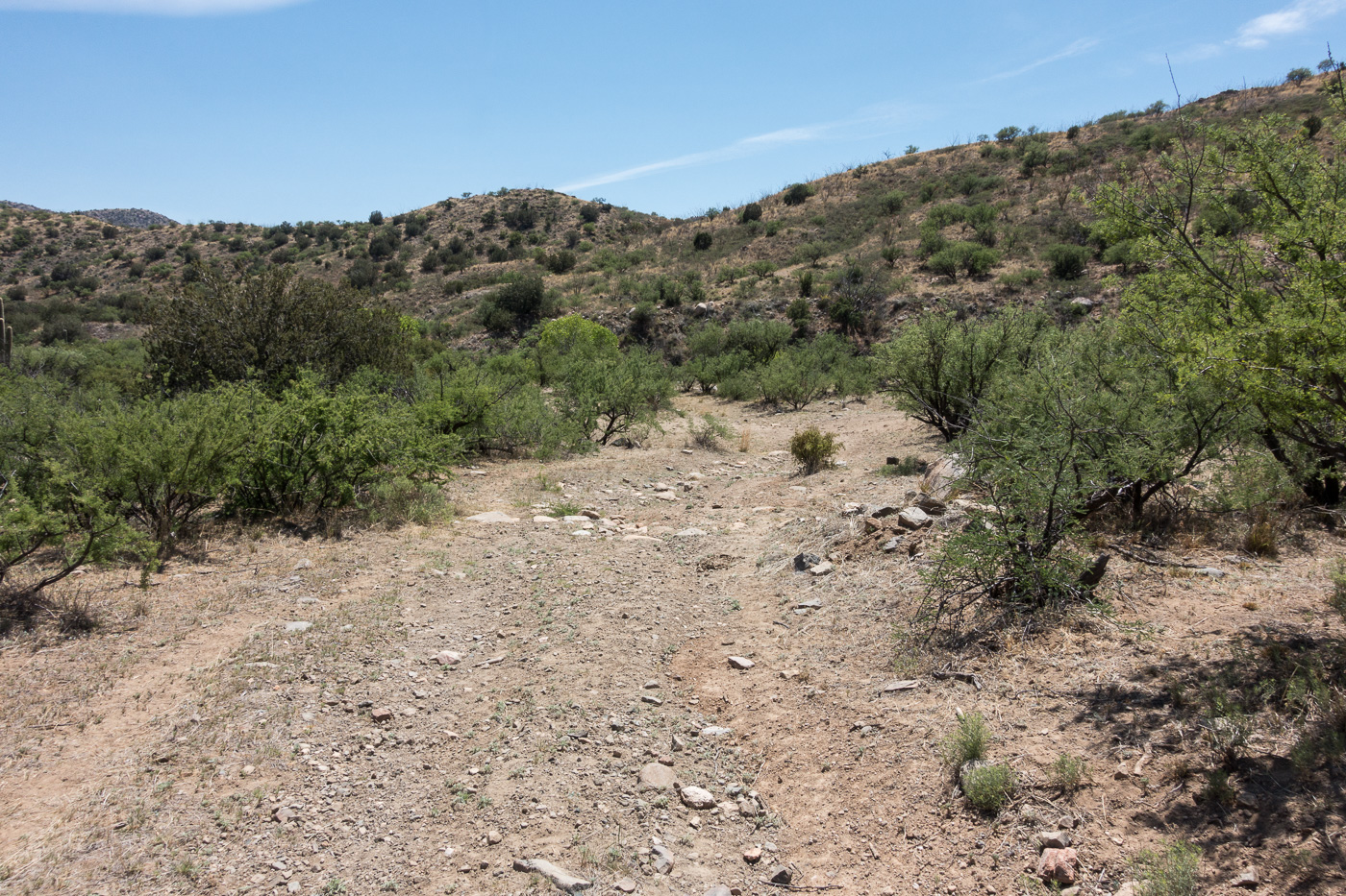
The biggest surprise of the hike may have been finding water when we crossed a small canyon – we had planned on the route being dry and it was nice surprise to find water to soak my shirt and hat with – we were thousands of feet lower than when we started and it was getting hot, the edge of the season for this part of the mountain I think.
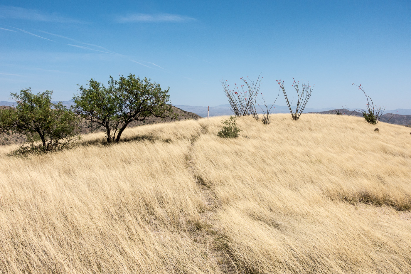
Water in a canyon along the Brush Corral Trail. April 2017.An obvious section of trail across a grassy ridge – brown carsonite posts like the one at the top of this hill mark the lower part of the trail. April 2017.
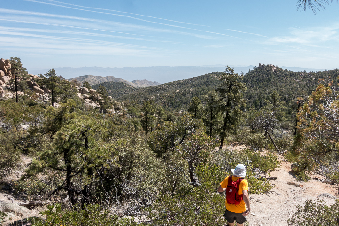
From the crossing we quickly found the brown trail markers mentioned in other reports and the trail became relatively easy to follow thru the grass and across the ridges. We took advantage of the good trail and ran the final mile+ down to the Brush Corral site before making the hike up the road back to our ride home.
Richard running the bottom section of the trail – Mount Bigelow in the background – the trail close to the trailhead is in decent shape – brown carsonite posts mark the way. April 2017.FR4407 coming to an end at the Brush Corral area. April 2017.
Newspaper articles that reference the Brush Corral Trail that I used for this post:
Arizona Daily Star, 8/24/1911, p. 5, Forestry Will Have Its Own Telephones
Arizona Daily Star, 10/10/1912, p. 8, Brevities
Arizona Daily Star, 11/6/1912, p. 8, Telephones Arrive For Mt. Lemmon Line
Arizona Daily Star, 12/6/1912, p. 8, Government Installs New Telephones
Arizona Daily Star, 3/22/1964, p 55, Pete Cowgill, Hike Up To Brush Corrall Is For Experienced Hikers
Arizona Daily Star, 11/8/1984, p. 51, Pete Cowgill, Old Ranger Station is Just a Memory
Arizona Daily Star, 11/17, 1989, p. 41, Pete Cowgill, Hiking club dug in for Brush Corral Trail
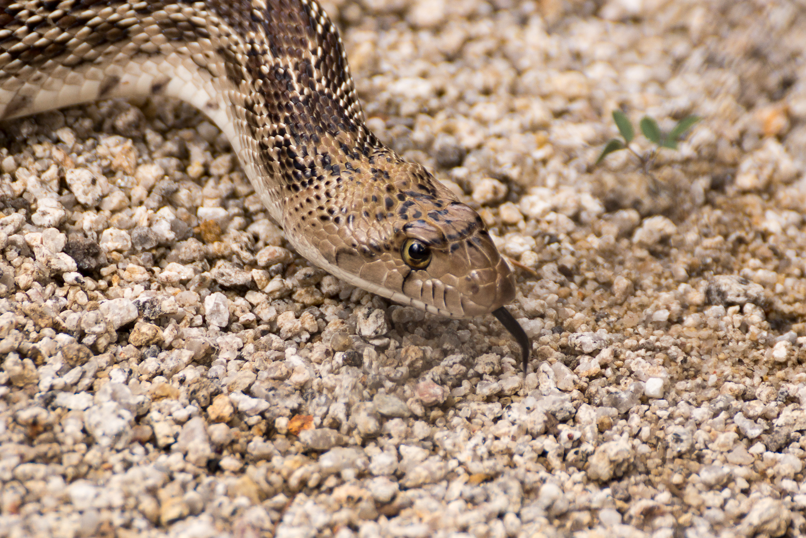
A Gopher Snake in a wash above Bear Canyon – after spotting us he disappeared into cracks below a small rock face. August 2015.
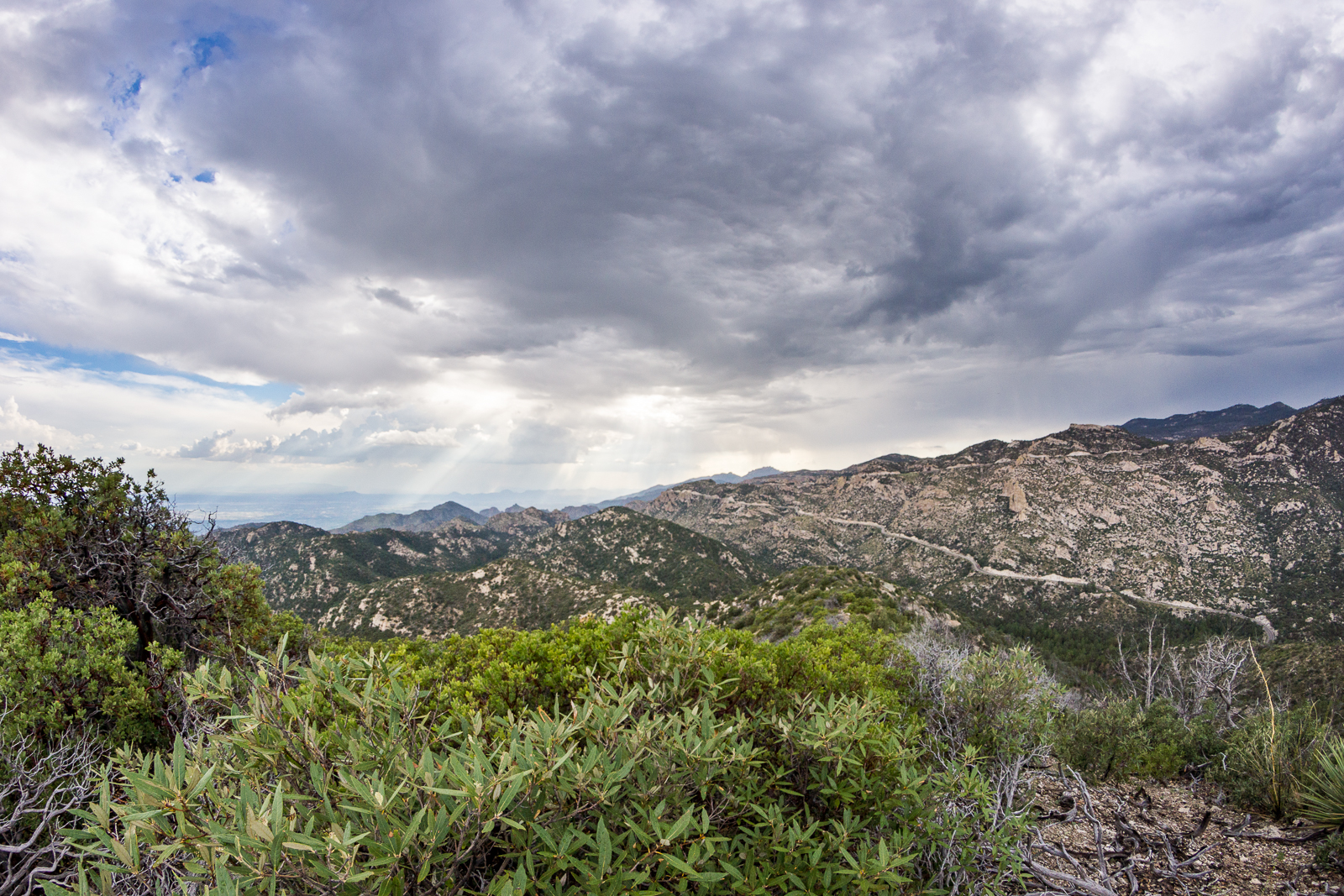
Points 6702, 7135 and 6810 east of Bear Canyon are, in many ways, ‘nothing special’ – but marks on a map are a great excuse to wander away from well trodden paths – and more often than not thru spots of subtle beauty, sometimes surrounded by sublimely devilish brush…
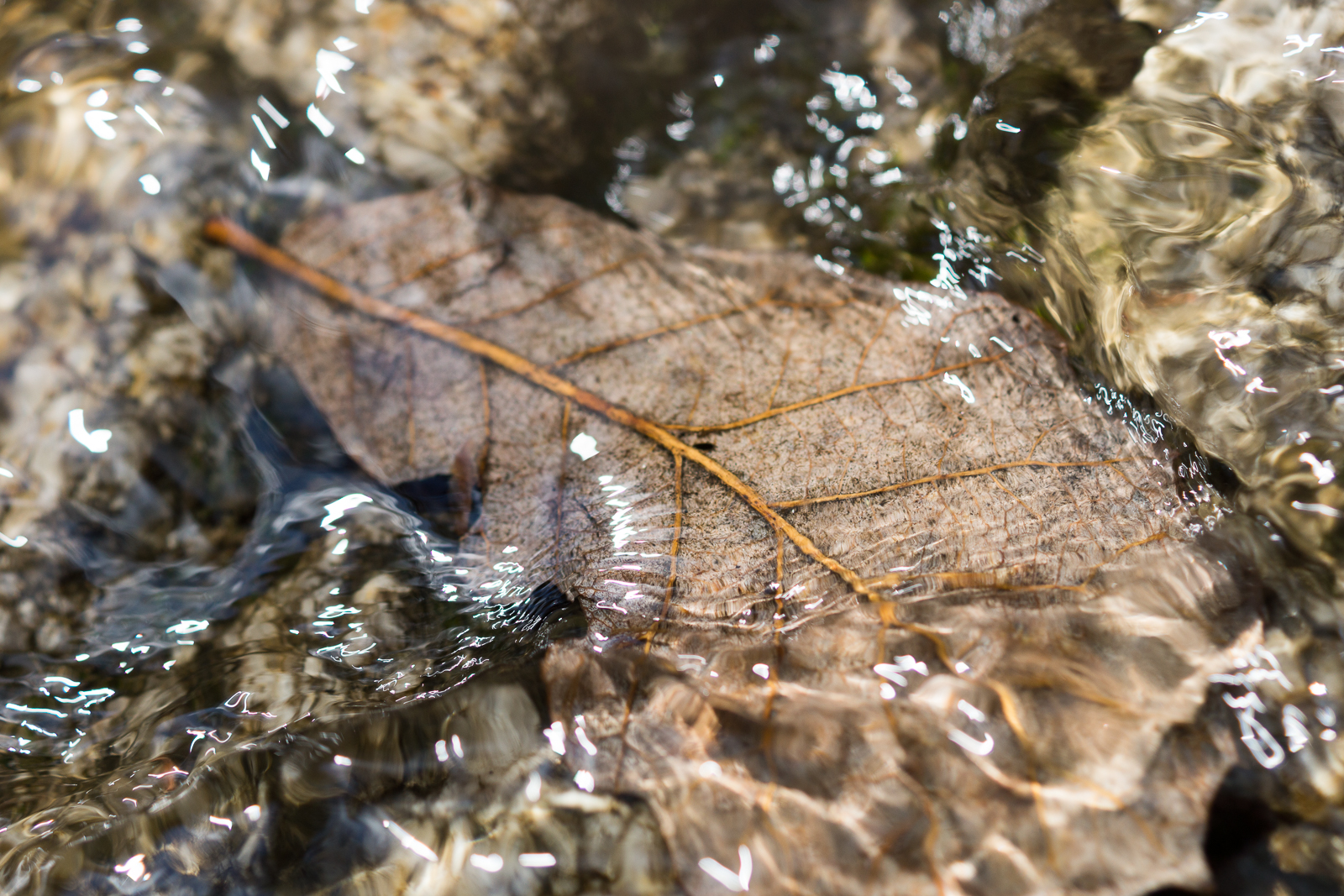
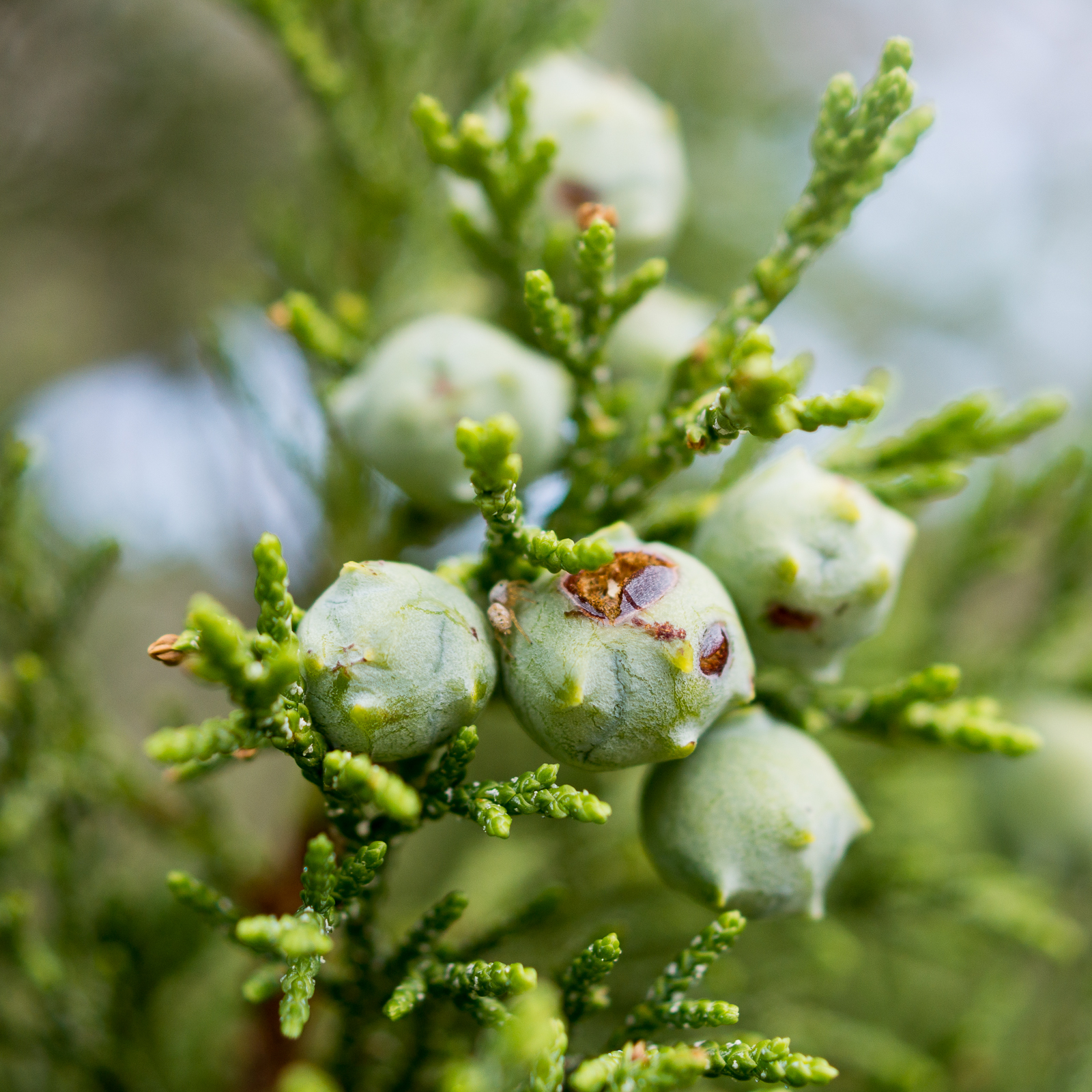
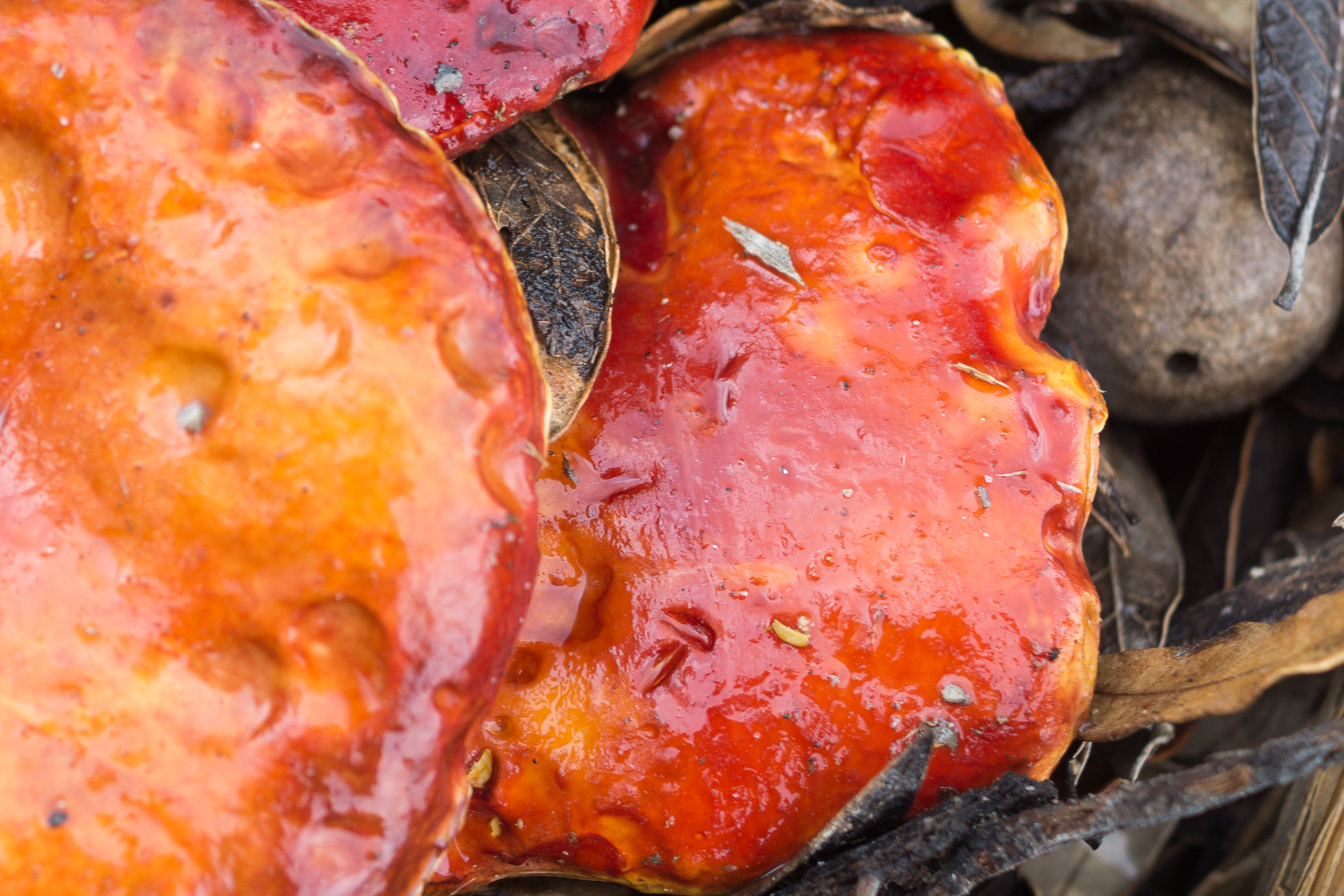
Summer rains filling Bear Canyon with beautiful running water. August 2015.Juniper Berries. August 2015.Wet mushrooms near the ridge east of Bear Canyon. August 2015.Looking across Bear Canyon from Point 6810 on the ridge east of Bear Canyon. August 2015.