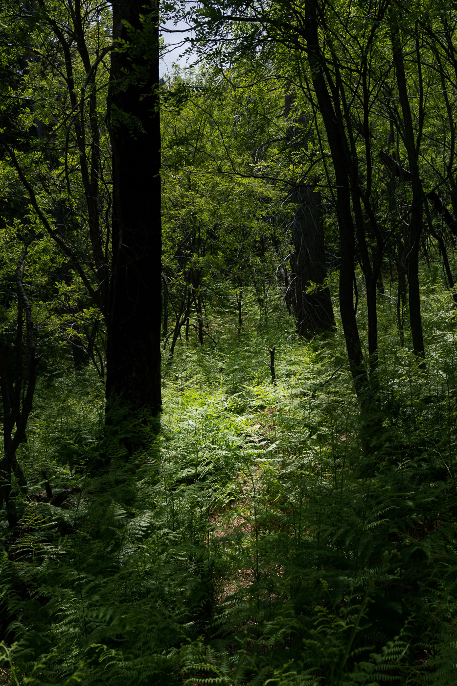
Light, shadows and green – Crystal Spring Trail. May 2017.
Pictures from a Control Road, Crystal Spring Trail and Butterfly Trail hike last month – even then the green plants were overwhelming the narrow track of the Crystal Spring Trail, I can’t wait to go back later in the summer and see what happens once the rain starts!
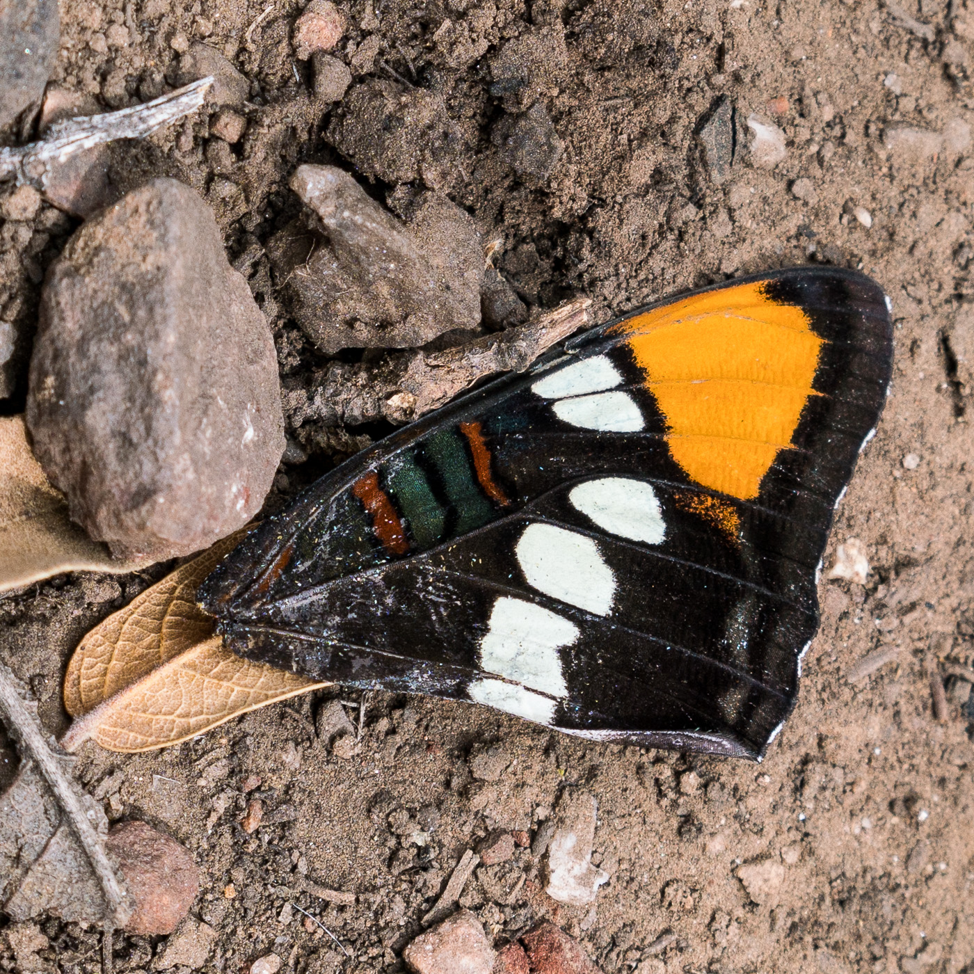
Fallen wing on the Crystal Spring Trail. May 2017.Looking down into Peck Basin and Edgar Canyon and across the San Pedro to the Galiuros from the Butterfly Trail. May 2017.Mount Bigelow and the Butterfly Wall from the Butterfly Trail. May 2017.
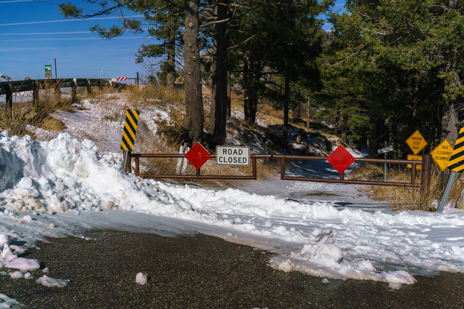
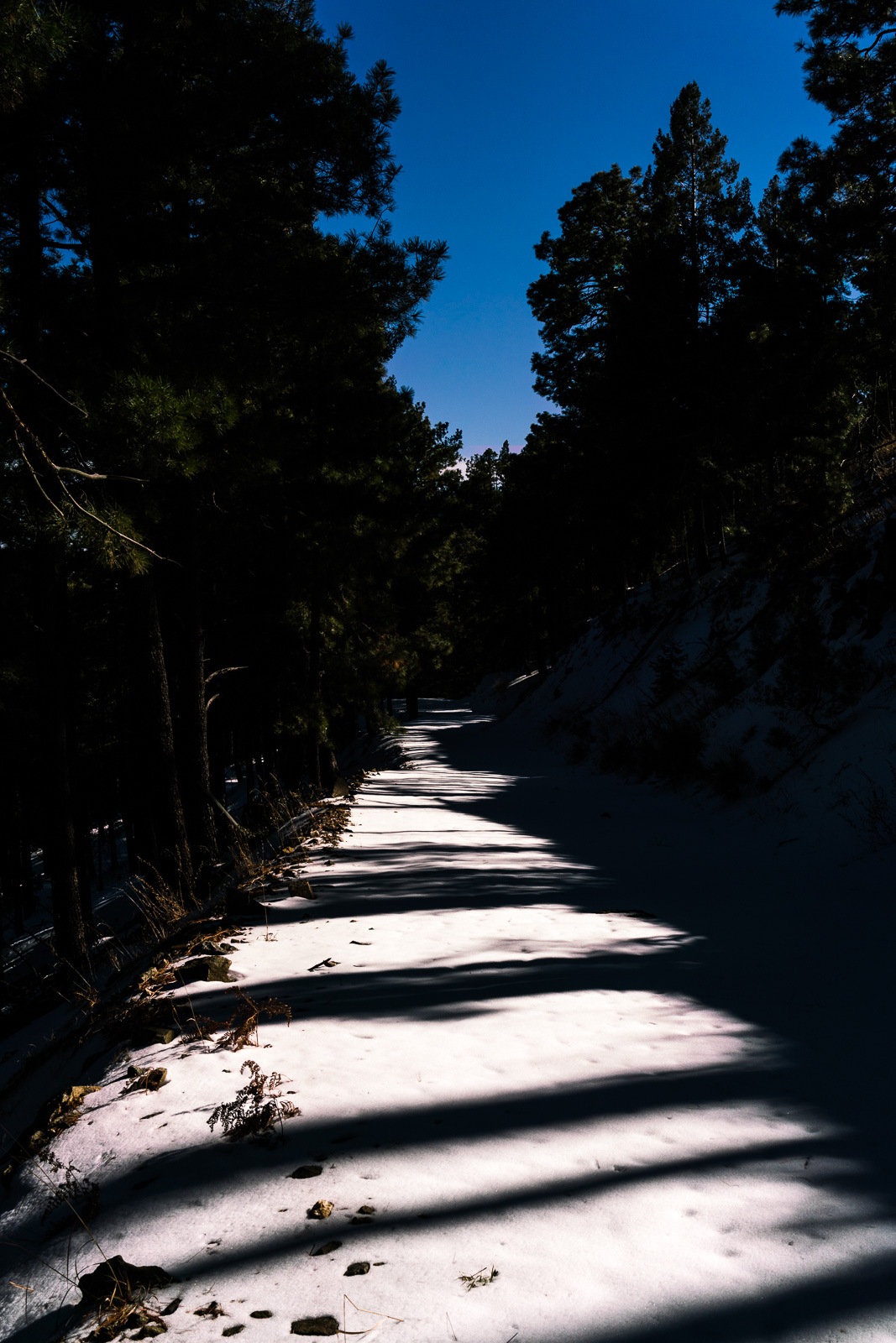
The top of the Control Road – snowy and gated. December 2016.
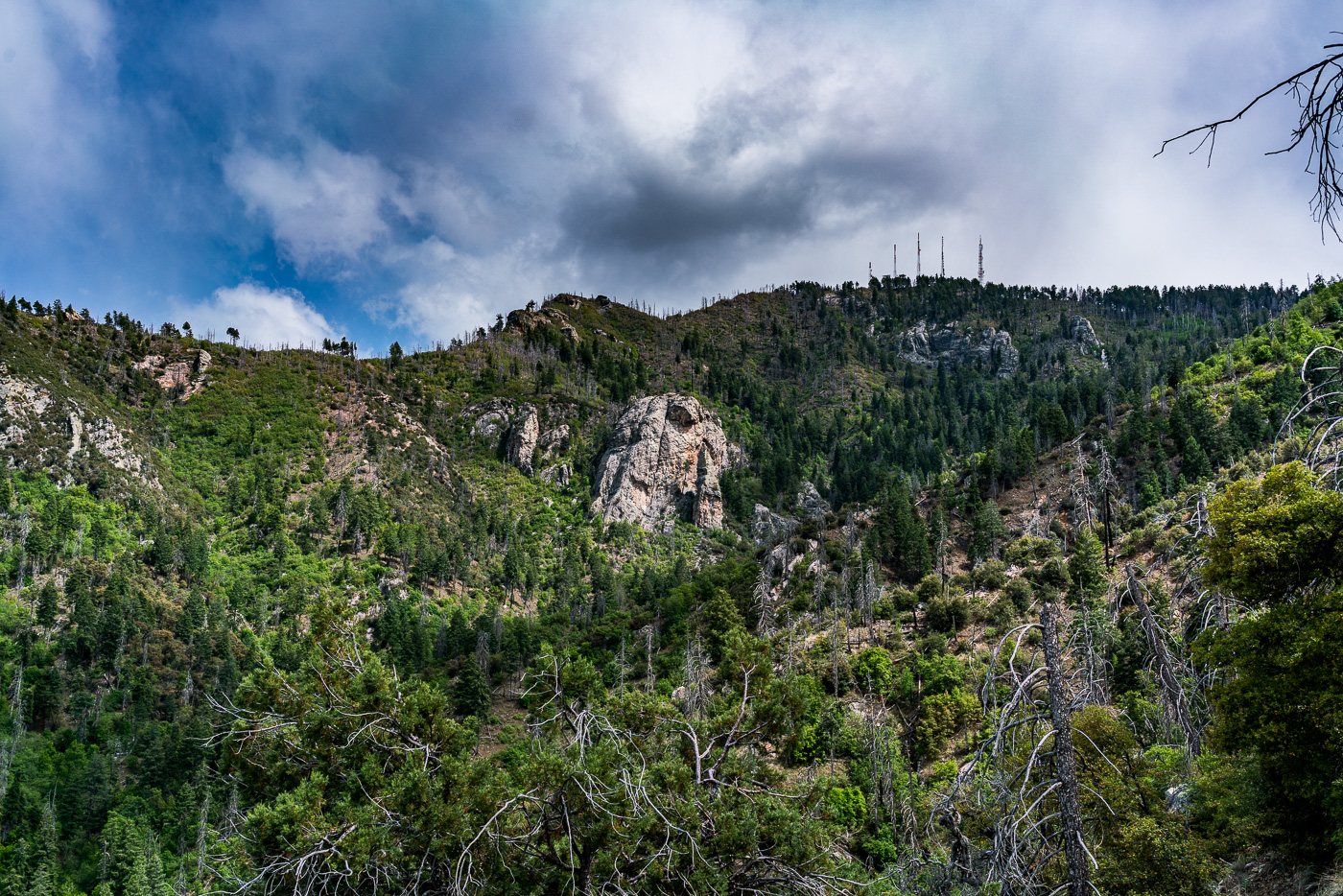
I would be surprised if the Control Road came up in discussions about ‘Best Hiking Destinations in the Santa Catalina Mountains’ – and with good reason, there are so many great trails on the mountain that a long hike on a frequently driven high-clearance dirt road is a hard sell… But in winter, with sections of the road closed to vehicles, especially with the road blanketed in snow, the top of the road becomes an incredible hike! The wide road is easy to follow (even in enough snow to obscure many other trails), there are great views, tall trees, no vehicles and you can connect to the Crystal Spring Trail – well worth considering!
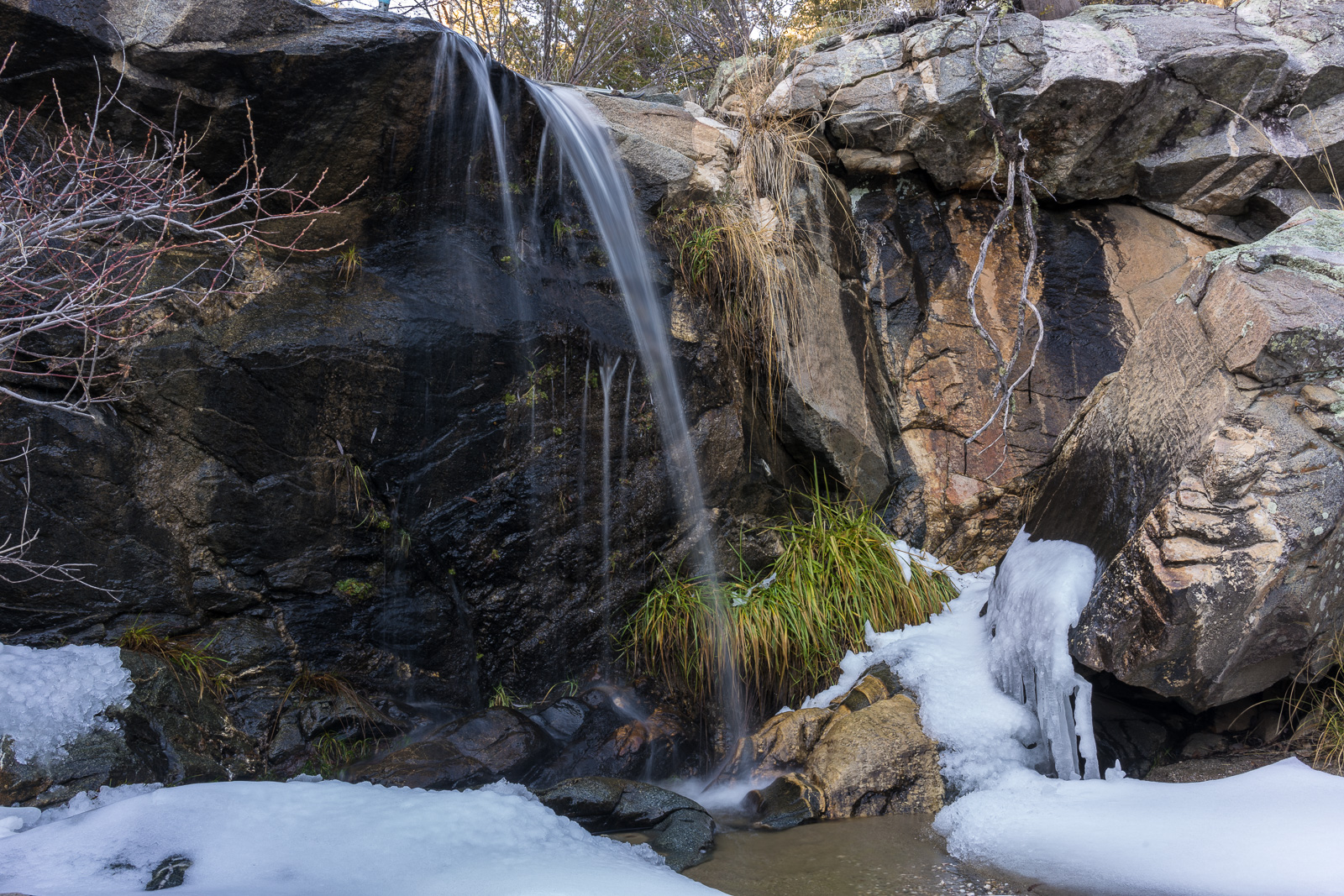
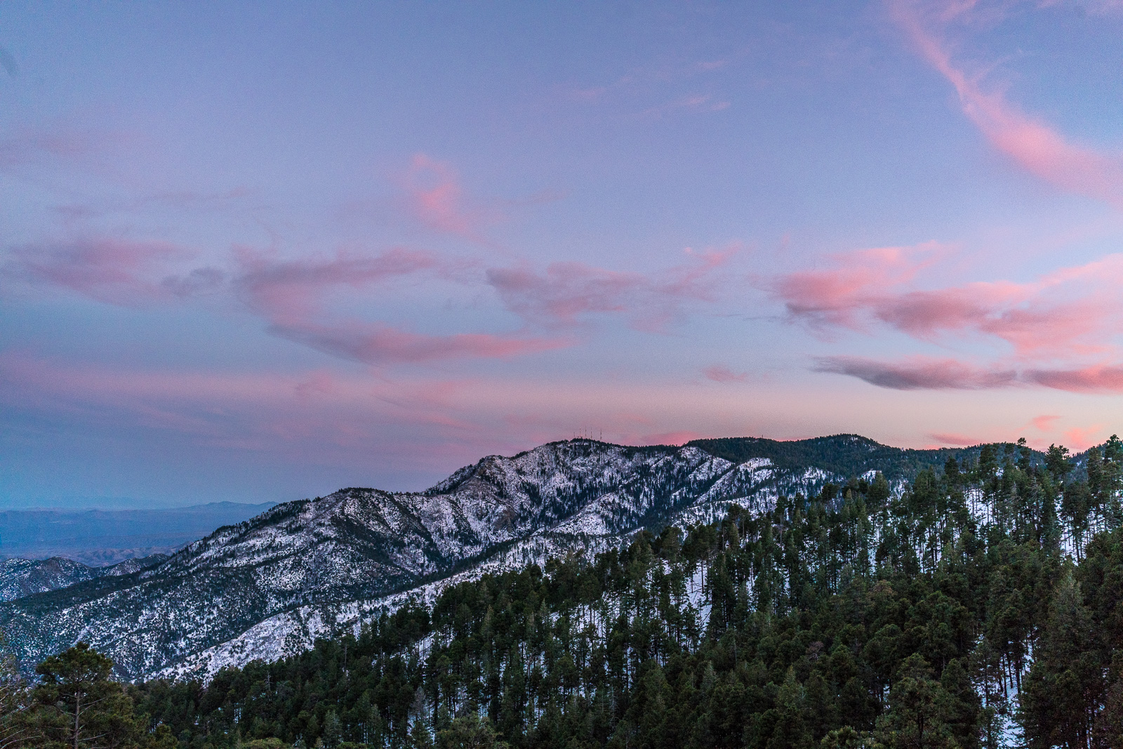
Sun, Shade and Snow – enjoying the snow on the Control Road. December 2016.Falls just below the Crystal Spring Trail. December 2016.Sunset from the Control Road. December 2016.
Below Marble Peak, at a sharp turn, the Control Road crosses a cattle guard and a fence runs up the ridge towards the top of Lombar Hill. A road on the north side of the fence seems like it might take you to the top, but instead it ends at a fire ring and a trail that quickly disappears into thick vegetation. On the south side of the fence a small, occasionally overgrown, path parallels the fence – it only takes a few minutes on this path to get to the top – a nice break from the long drive up the mountain!
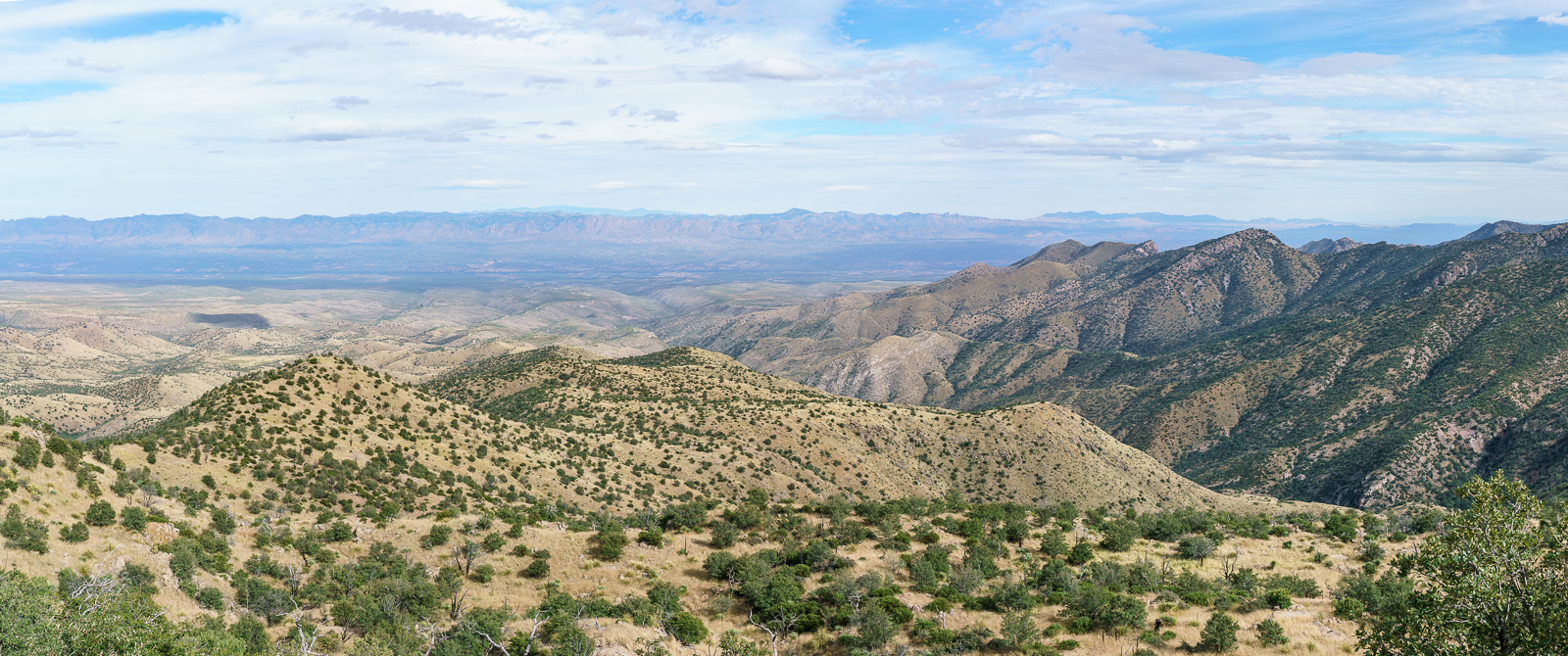
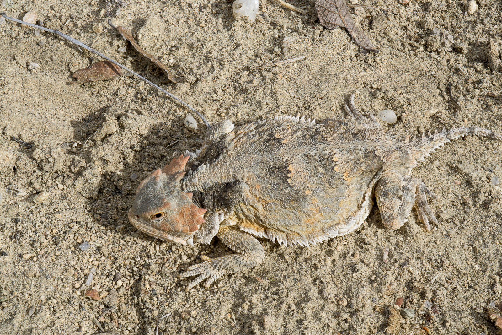
Looking down the mountain into the San Pedro River Valley from Lombar Hill – Alder Canyon and the ridge between Alder and Edgar Canyons are on the right – if you zoom in you can see Black Hills Mine Road and the road to Ventana Windmill descending into Alder Canyon. October 2016.Horned Lizard on Lombar Hill. October 2016.
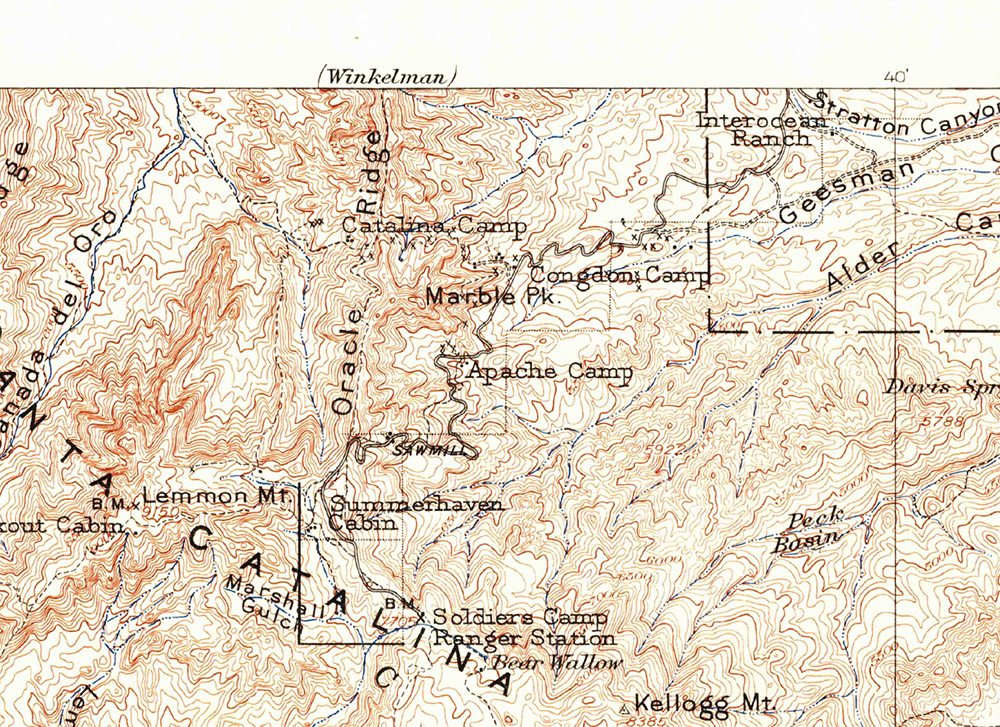
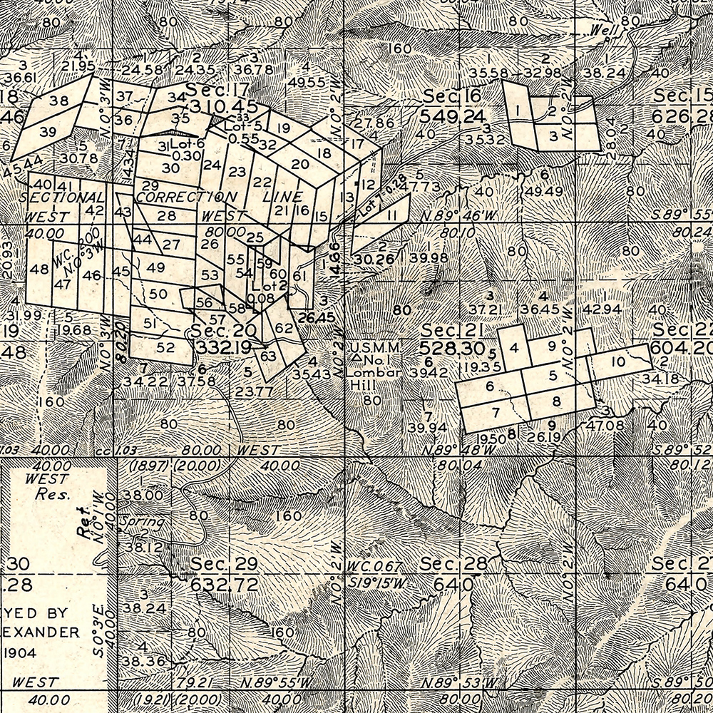
I am not sure about the who/what/why of the name Lombar Hill (please contact me if you can fill me in on the history of this name!) – the name does not appear on the USGS 1904 Tucson Map, perhaps because it is a smaller feature, but does appear on a survey from the 1920s…
The 1904 Tucson Topo Map (available as a free download from the USGS) – Lombar Hill is near the center of the map but is not labeled. October 2016.Lombar Hill shown on a Survey from the 1920s, unlike the 1904 Topo Lombar Hill is labeled. The survey document is available from the General Land Office (Township 11S Range 16E). October 2016.
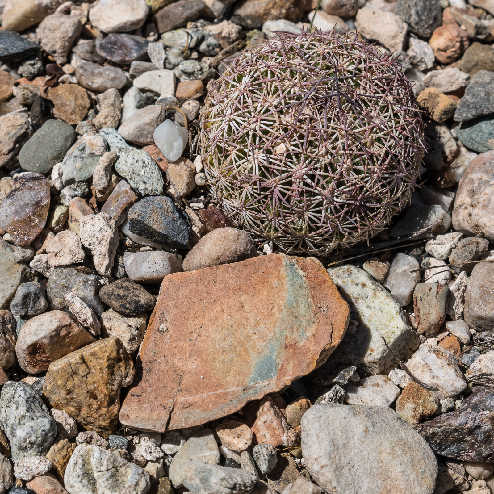
Cactus and stone – exploring near the Black Hills Mine Road. July 2016.
Friends are hiking on the top of the mountain trying to escape the heat – but it is just so hot that it seems like a good day for a slow drive on the east side – sometimes with the windows down, sometimes with the A/C on – beautiful views and short walks from the Black Hills Mine Road and the Control Road.
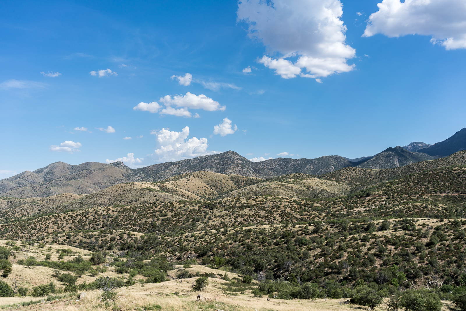
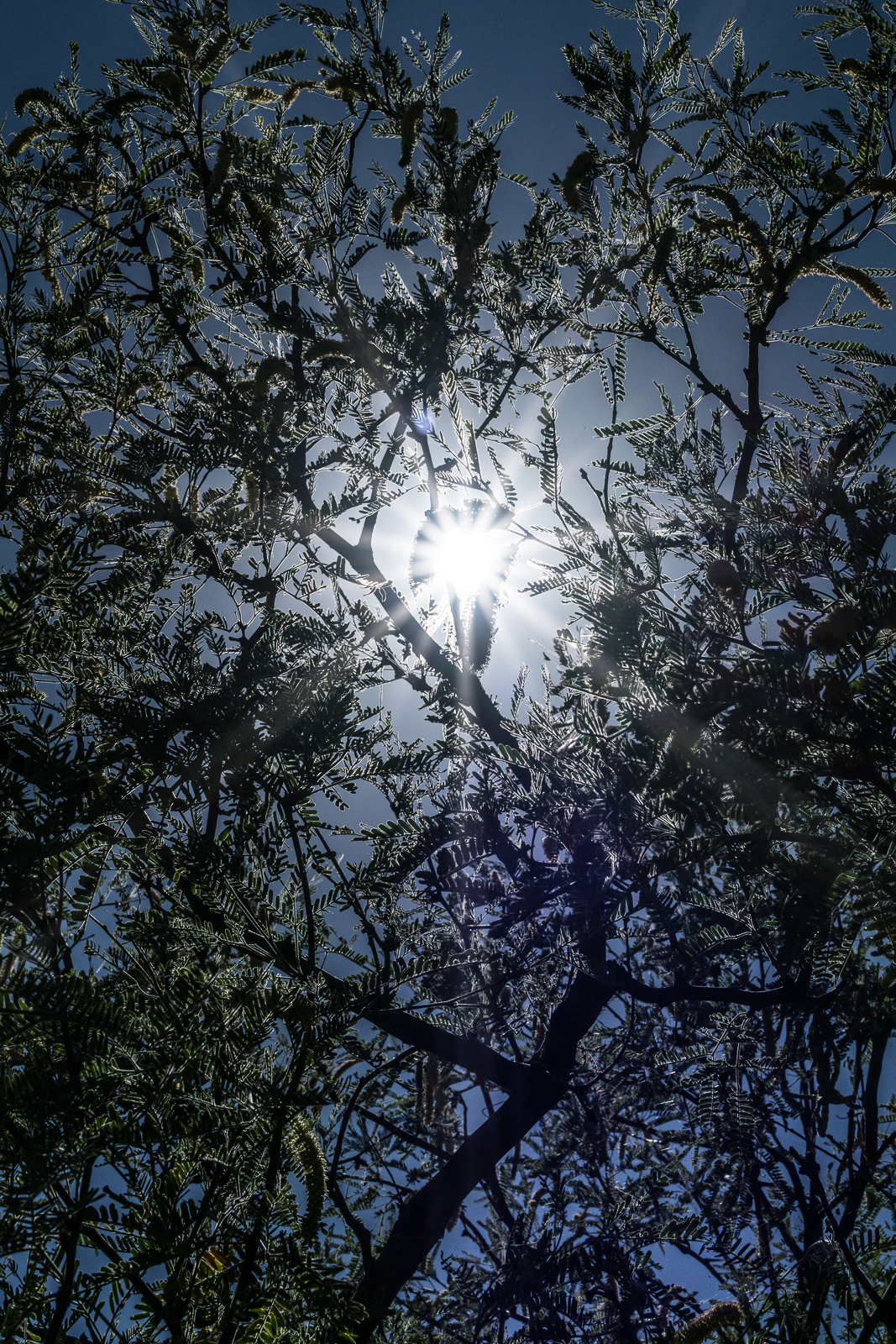
The ridge north of Edgar Canyon with Point 6053 in the center – from the Control Road. July 2016.Sun thru the Mesquite. July 2016.
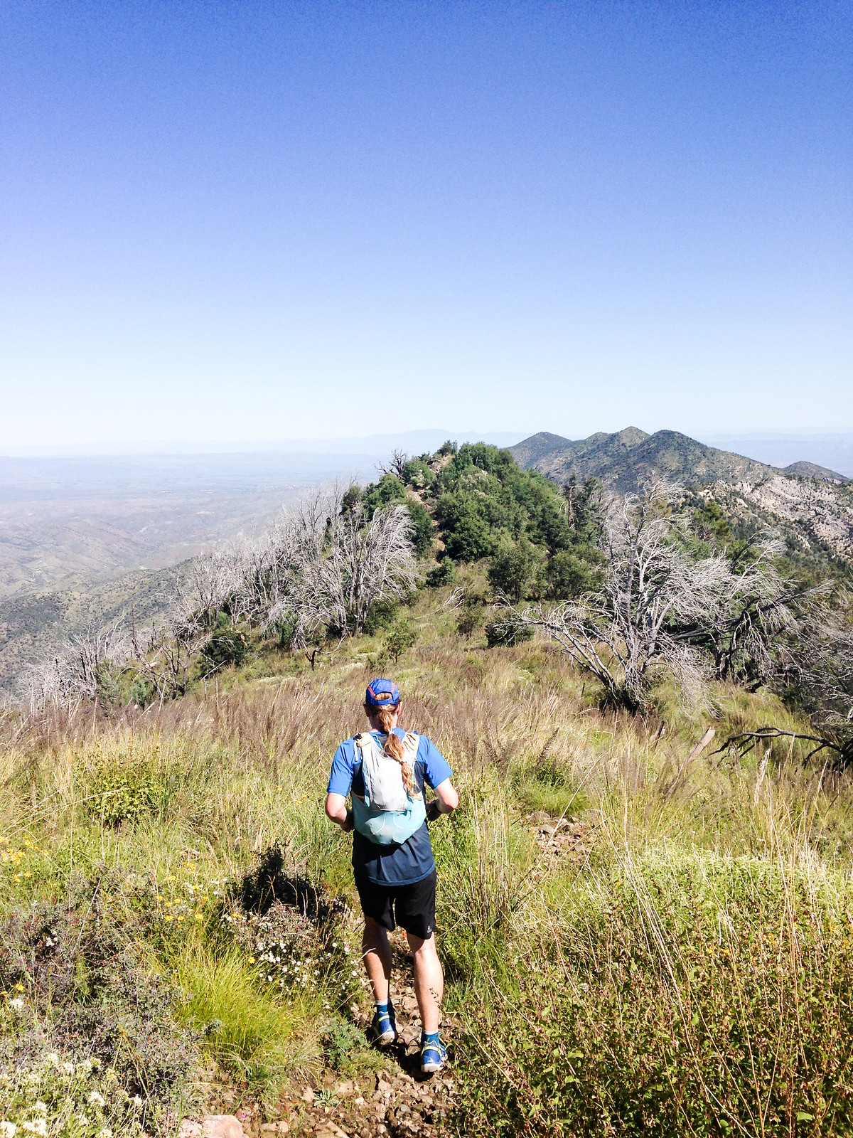
Running down the Oracle Ridge Trail – massive views, green and flowers! Photo by Korey Konga. September 2014.
When discussing where to go hiking with a visitor to Tucson you can count on the Marshall Gulch Trail and the Aspen Trail getting mentioned in some loop/combination/variation – and certainly there can be NO argument about these being sublime and incredible trails.
But as lovely as those trails are the loop that – for me – has come to best represents the spirit of the Santa Catalina Mountains is the Oracle Ridge – Catalina Camp – Red Ridge loop. This loop has astounding views, steep descents, cows, mines, water, washed out two-track, a bit of pavement, the Arizona Trail, flowers, steep climbing, more steep climbing, bones, big trees, burned areas, One Park Place and even an occasional cactus…
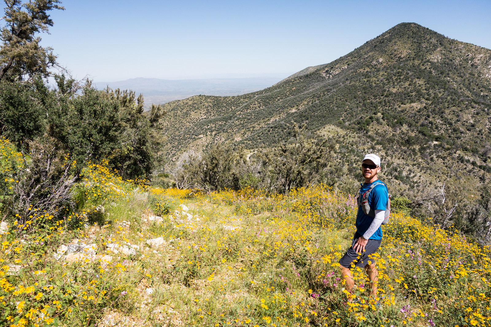
Taking a picture break on Oracle Ridge – flowers covering the old road. September 2014.
The harshness, history and beauty of this loop may be without parallel in the range – 9 miles, 2550′ of elevation gain/loss – with the great company of Korey Konga!
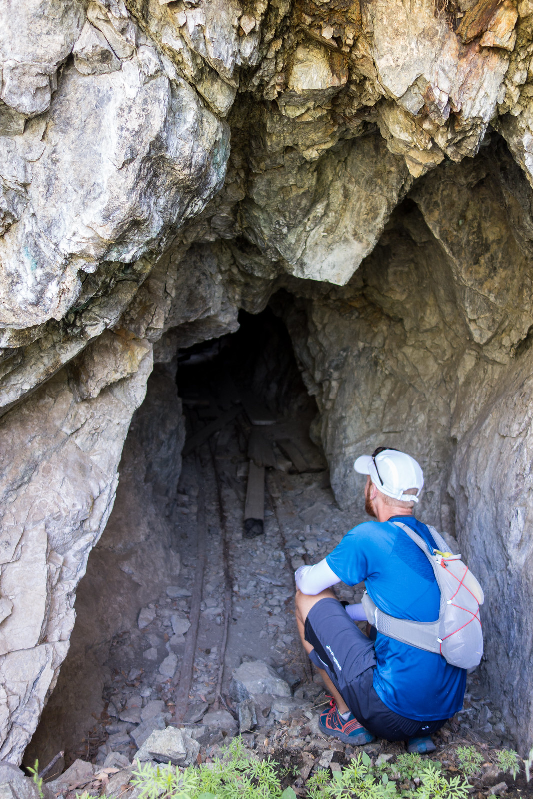
Korey checking out a mine not too far from the Catalina Camp Trail. September 2014.