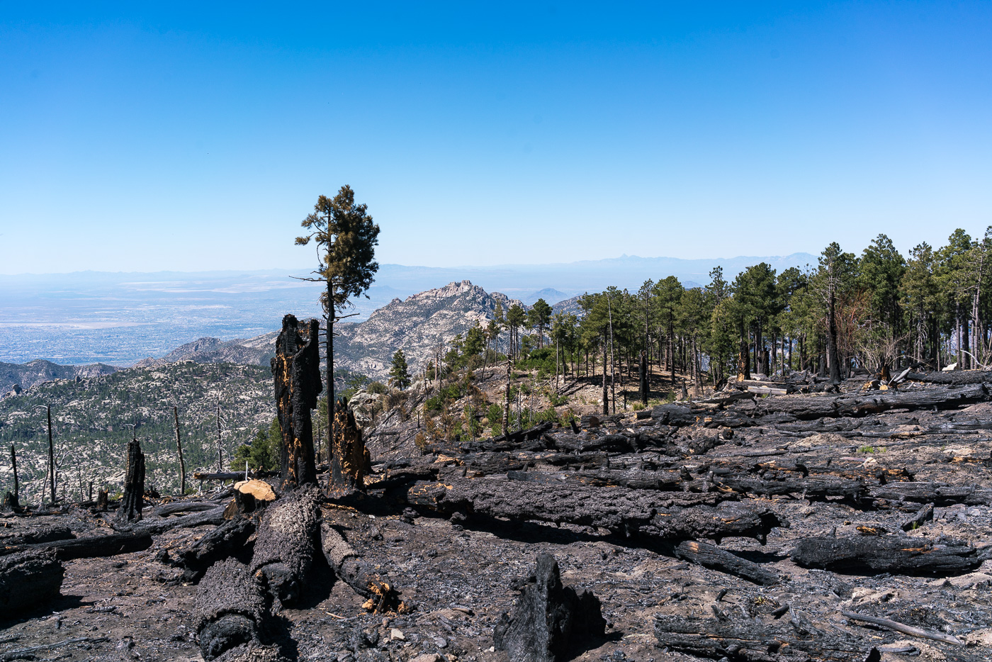
Fire damage along the Mount Lemmon Trail – probably from the Shovel Fire. May 2017.
With two trips last month on the Red Ridge Trail/Catalina Camp/Oracle Ridge Trails (probably the best sub-10 mile trail loop on the mountain) it seemed like it was time for the longer Canada del Oro/Red Ridge Trail loop, probably the best 10+ mile trail loop on the mountain!
We left a car at the Red Ridge Trailhead and drove to the Summit Trailhead – Lemmon, Sutherland, Samaniego Ridge, CDO Shortcut Trails – 3.7 miles and 2,700′ of elevation loss take us to the start of the Canada del Oro Trail.
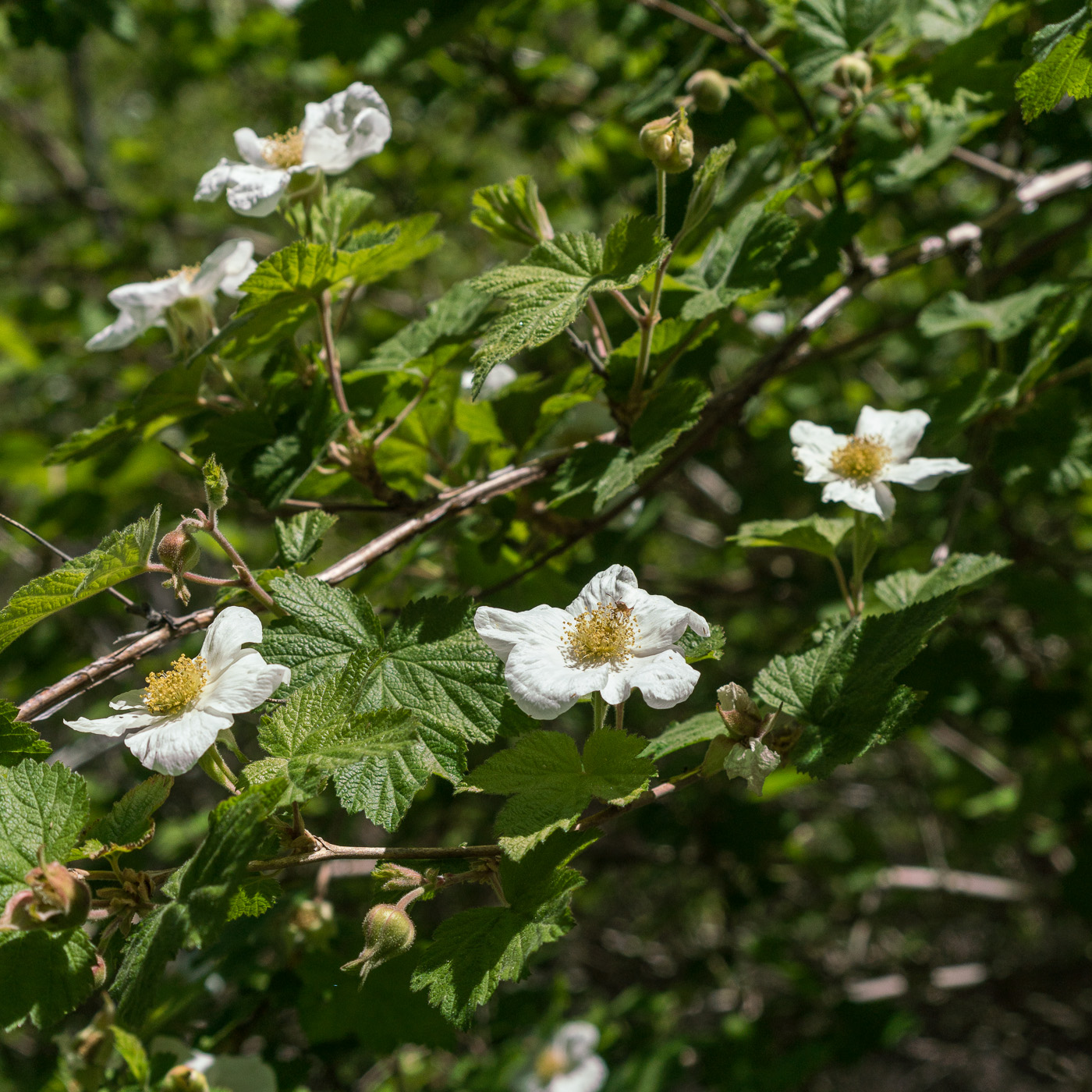
Raspberry flowers along the Canada del Oro. May 2017.
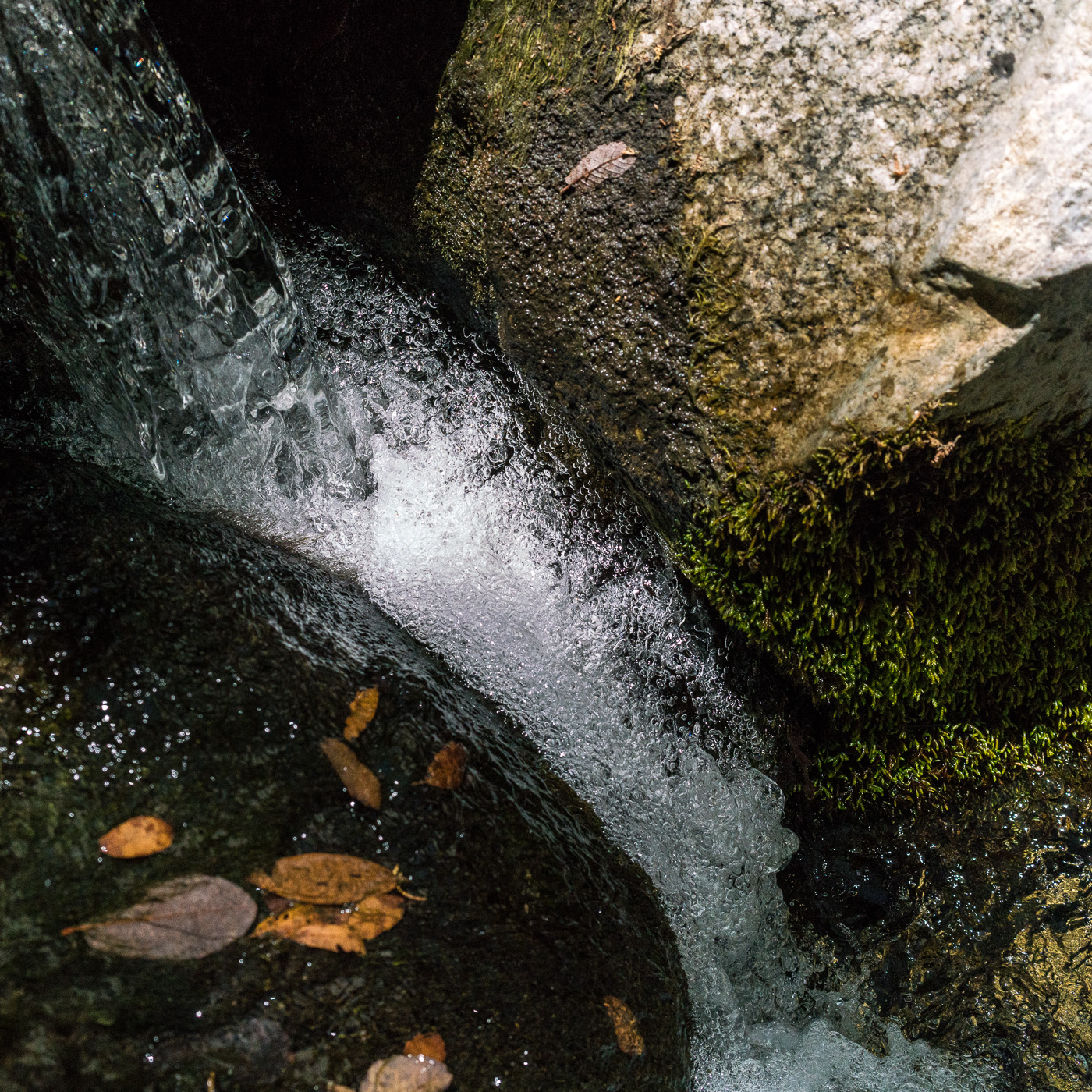
As the Canada del Oro Trail descends the views of towns and distant mountains disappear – the upper part of the canyon is surrounded by the Santa Catalina’s northern ridges – Samaniego, Reef of Rock and Oracle Ridge. The feeling of remoteness in the upper section of the canyon is great, but the real magic here is the water – the upper Canada del Oro seems to have remarkably good (perhaps even year-round?) flow – spending miles rambling in a wooded canyon beside a flowing stream is a unique experience in the Santa Catalina Mountains!
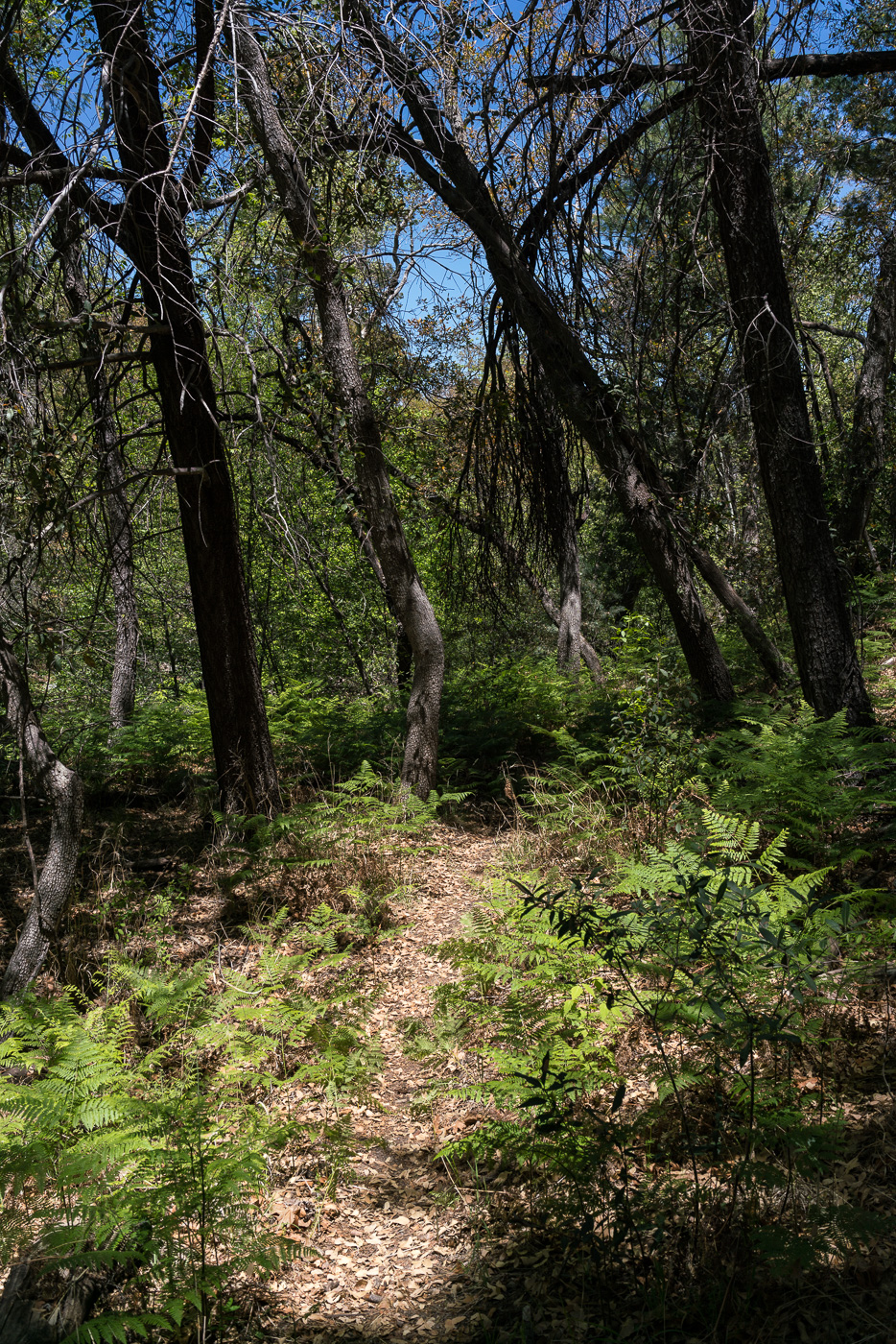
The CDO Trail. May 2017.
Seeing water in the CDO might be a surprise if you are used to the dry sandy wash that leaves the mountains and heads southwest thru Saddlebrooke, Catalina, Oro Valley and Tucson to the Rillito River. In Canyon of Gold, Tales of Santa Catalina Pioneers Barbara Marriott asserts that the (at least seasonal) water in the CDO and grass along waterway during the 1800s was part of the reason why ranches were located near the CDO and that in the first quarter of the 1900s the CDO became much drier.
Flowing water in the Canada del Oro. May 2017.
The 2003 Aspen Fire reduced the CDO trail to an off-trail bushwhack. For years I would occasionally hear or read about epic hikes thru the area – you can get a hint of the dense obstacles that hikers found in some of Sirena’s pictures from 2011. But over the years both Forest Service crews and volunteers have worked on the trail and it has once again been tamed – not a wide perfectly groomed path by any means, but very reasonable – maybe even ‘easy’ – to find and follow!
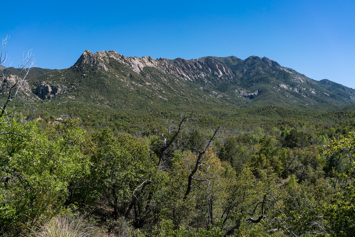
The Reef of Rock from the Red Ridge Trail – the large formations on the right side are referred to as the ‘Sea Gods’. May 2017.
From the CDO we take the Red Ridge Trail – it follows the East Fork of the CDO to the base of Red Ridge where we rest before climbing thousands of feet up back to the Red Ridge Trailhead.
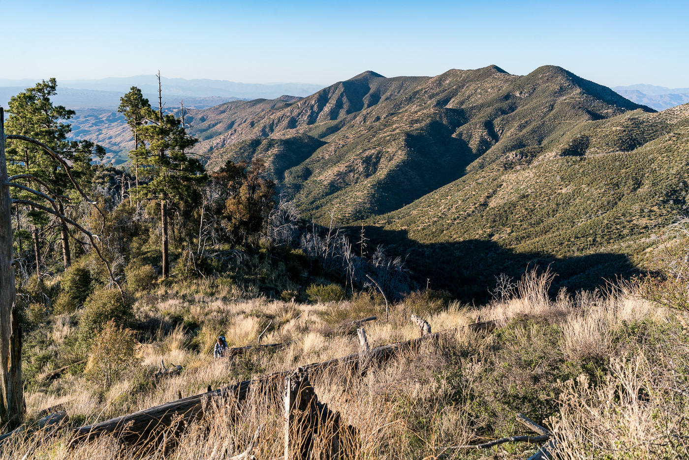
Oracle Ridge and Rice Peak from the Red Ridge Trail – the Catalina Camp Trail can be seen descending from Oracle Ridge towards its junction with the Red Ridge Trail. April 2017.
The Red Ridge Trail, Catalina Camp and Oracle Ridge Trail loop is one of my favorite hikes – and one of my favorites to recommend. I was lucky this month to be able to do the loop twice – once in each direction – and lucky to do it with many different friends who, I think, enjoyed seeing this area of the mountains.
1924, June 29, p. 13 – from the Arizona Daily Star:
The forest service is at present working on the construction of two very interesting trails … Red Ridge trail begins near the main ridge of the Catalinas that the highway crosses, and goes, as the name implies, over the ridges toward Oracle.
I wonder what the trail would have been like then – the stunning views of the Reef of Rock would be the same and with fewer visitors to the mountain in those days the trail was probably, like today, not heavily used. In the 1920s the top of the trail must have been covered in trees and it may have been impressively quiet – today the top of the ridge is largely open, cleared by the 2003 Aspen Fire, and noise from the General Hitchcock Highway is notable (the General Hitchcock Highway, not yet built in the 1920s, is larger, busier and faster than the ‘highway’ referred to in the quote above).
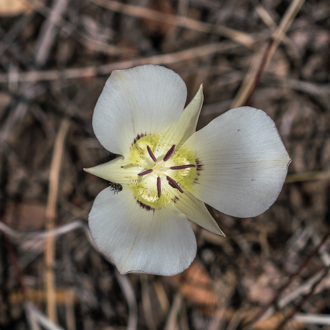
A Mariposa Lilly along the Red Ridge Trail – I wonder if they would have bloomed here when the trail was first constructed? April 2017.
A steep descent – past the edge of the Aspen Fire and into the oaks – takes you to the East Fork of the Canada del Oro. Water flows in this drainage most of the year, always a great spot to stop and enjoy.
A spider hunting over the water in the East Fork of the Canada del Oro. April 2017.
The Red Ridge Trail crosses the East Fork of the CDO and quickly reaches a junction with the Catalina Camp Trail. The Red Ridge Trail continues west, chasing the East Fork down to the Canada del Oro – but this loop turns east onto the Catalina Camp Trail. The Catalina Camp Trail used to be the route of the Arizona Trail as it climbed out of the CDO and up to Oracle Ridge – today the AZT takes a kinder and more practical route straight onto the Oracle Ridge Trail from Summerhaven.
The reason I love this loop is the variety. Red Ridge is a wild place, violently burned in the Aspen Fire, with just a hint of the remoteness that some of the more distant sky islands offer. The Catalina Camp Trail is something altogether different – a few minutes from the junction buildings come into view – the address above one of the doors reads ‘One Park Place’.
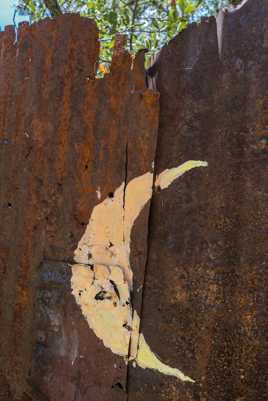
A moon on the old outhouse near 1 Park Place. April 2017.
These buildings seem out of place, but they are part of the long history of mining in the Santa Catalina Mountains that predates the construction of the Red Ridge Trail by many years – if you know where to look you can see old equipment rusting back into the earth, disappearing remains of old mining operations.
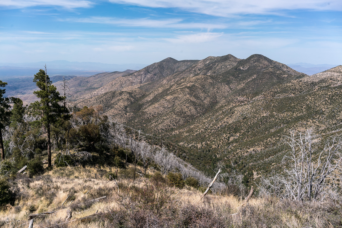
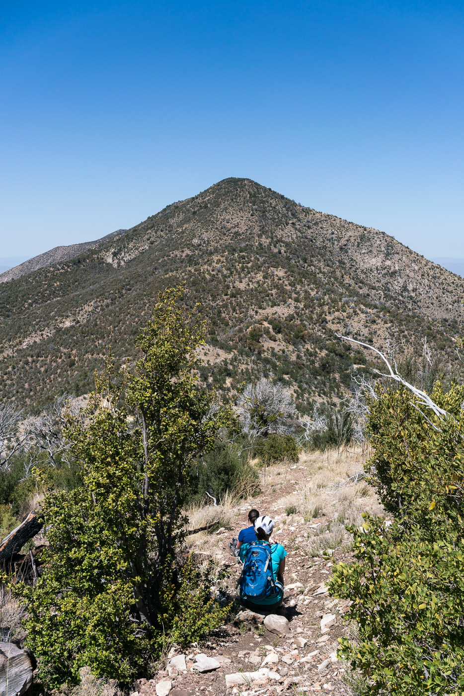
At Dan Saddle the Catalina Camp and Oracle Ridge Trails meet and this loop joins the current route of the Arizona Trail. The Oracle Ridge Trail between Dan Saddle and the Oracle Ridge Trailhead routes you on and off an old road with views of Marble Peak (a long-time mining area). This area has none of the wildness of Red Ridge – but what it adds to this loop is views of east side of the Santa Catalina Mountains and the San Pedro River Valley – a surprisingly remote area when you consider how close it seems on a map. If you travel out to the east side of the Santa Catalina Mountains it is rare to see other hikers these days – with good reason I suppose, it is an hour (or more) drive from Tucson to reach the start of the long 4wd roads that access the few existing trailheads. The area probably saw more use before the 2003 Bullock fire when the Davis Spring and Brush Corral Trails could still be followed down into the area – now those trails are just off-trail routes…
Dana and Traci taking a break and enjoying the view on the Oracle Ridge Trail. April 2017.
The Oracle Ridge Trailhead and Red Ridge Trailhead are close enough together that you can walk between them to start, or complete, the loop. Perhaps under-emphasized in the description above is that in addition to being about 9 miles long the loop has around 2800′ of elevation loss and gain, definitely worth considering before committing to this loop!