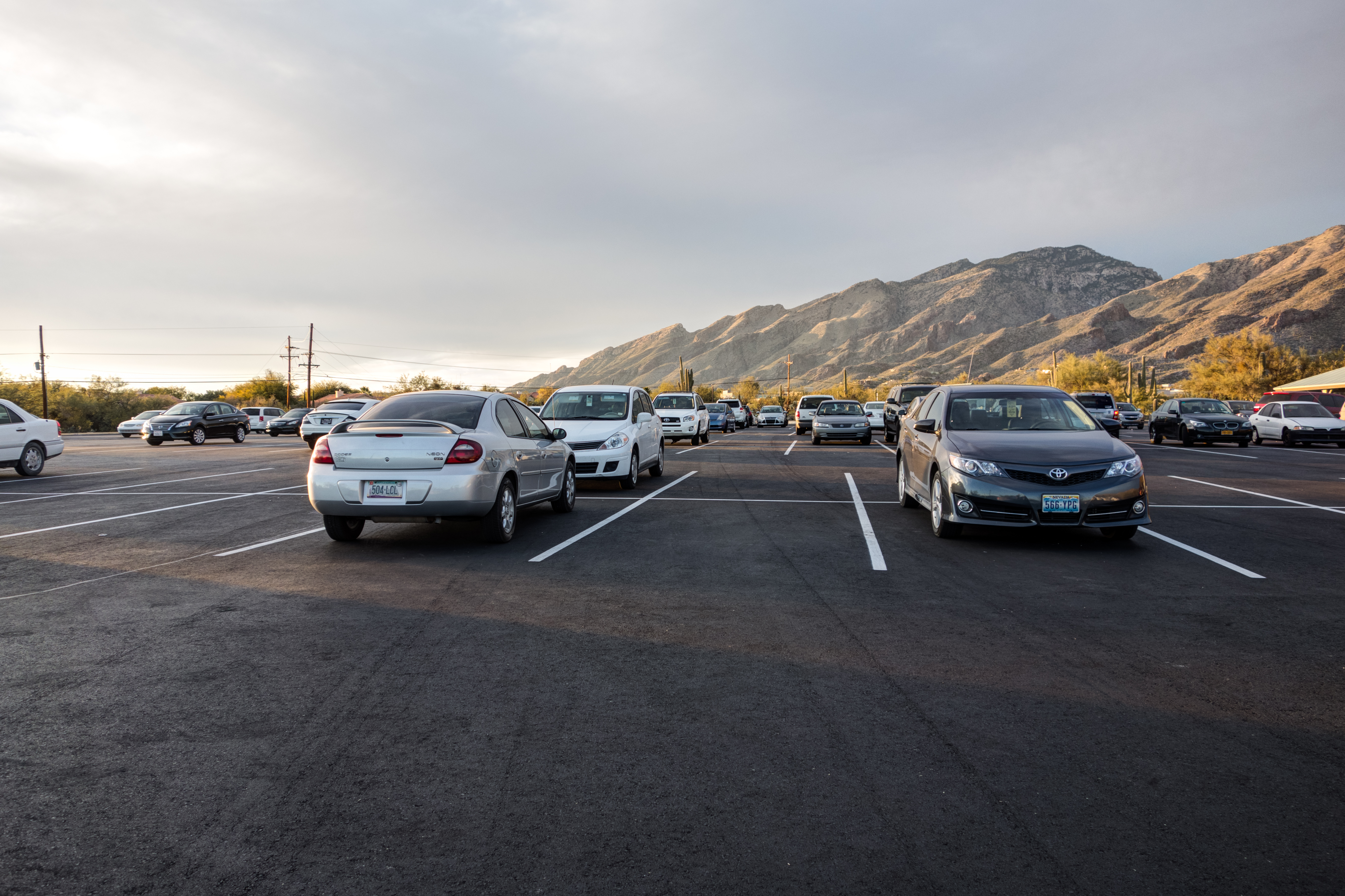
Sabino Canyon Parking Area - looking towards Pontatoc Ridge. January 2014.
Overview
Location
- City's Edge Hikes - Santa Catalina Mountains - Southern Arizona
- Google Map Coordinates: 32.30957801 -110.82304001
- At This Trailhead: Sabino Canyon Road and Tram, Phoneline Trail, Bear Canyon Trail, Blackett's Ridge, Esperero Trail, Sabino Canyon, Miner's Pool
- Nearby Trailheads and Parking: West Ventana Canyon Trailhead
Driving Time and Distance from Tucson
- 25 Minutes from Speedway and Campbell
- 11.3 miles from Speedway and Campbell
- Vehicle Access: Paved Roads/Passenger Car
Fees and Services
- Fee: Yes ([LemmonFeeCostAndLink/])
- Restrooms: Yes
- Water: Yes
Driving Directions
Suggested driving directions from the Speedway and Campbell intersection in Tucson to the Sabino Canyon Visitor Center:
- East on Speedway (3.0 miles)
- Left onto Swan (5.0 miles)
- Right onto Sunrise (4.1 miles)
- Left onto Sabino Canyon Road - the Sabino Canyon Visitor Center is just after the turn on the right. This is a busy area and on popular days the parking area can be completely full (if the parking lot is full it can be tempting to park on the wide shoulder of Sabino Canyon Road north of the parking lot - but that area is signed as 'No Parking' and the Pima Country Sheriff's Department does occasionally ticket cars parked along Sabino Canyon Road).
Google Maps Directions from the Speedway and Campbell intersection in Tucson to Sabino Canyon Visitor Center.
Resources
- Posts on HikeLemmon.com:
- Magnificent Beast – 6/20/2018
- Bear Canyon, Night – 5/2/2018
- Sabino Canyon – 5/22/2017
- Sabino Canyon Nights – 2/26/2017 and 3/25/2017
- Esperero Trail – 2/13/2017
- Stone Structure above Sabino Canyon – 9/10/2016
- Unexpected Fireworks, Saguaros in the Moonlight – 4/23/2016
- Flowers along the Bear Canyon Trail – 4/9/2016
- Sabino Canyon – 3/15/2016
- Stars and Clouds, Night in Sabino Canyon – 2/6/2016
All Trailheads - Map
Update Notes
- 2019/1/29 – Resources format update, tags update, remove old Tram link
- 2017/8/28 – Img Srcset update, All Trailheads Map