Overview
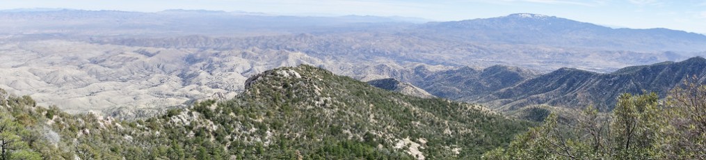
Guthrie Mountain is an understated peak – unless you know it you are unlikely to pick it out on the skyline – but beautiful trails and good views from the top make it well worth the hike.
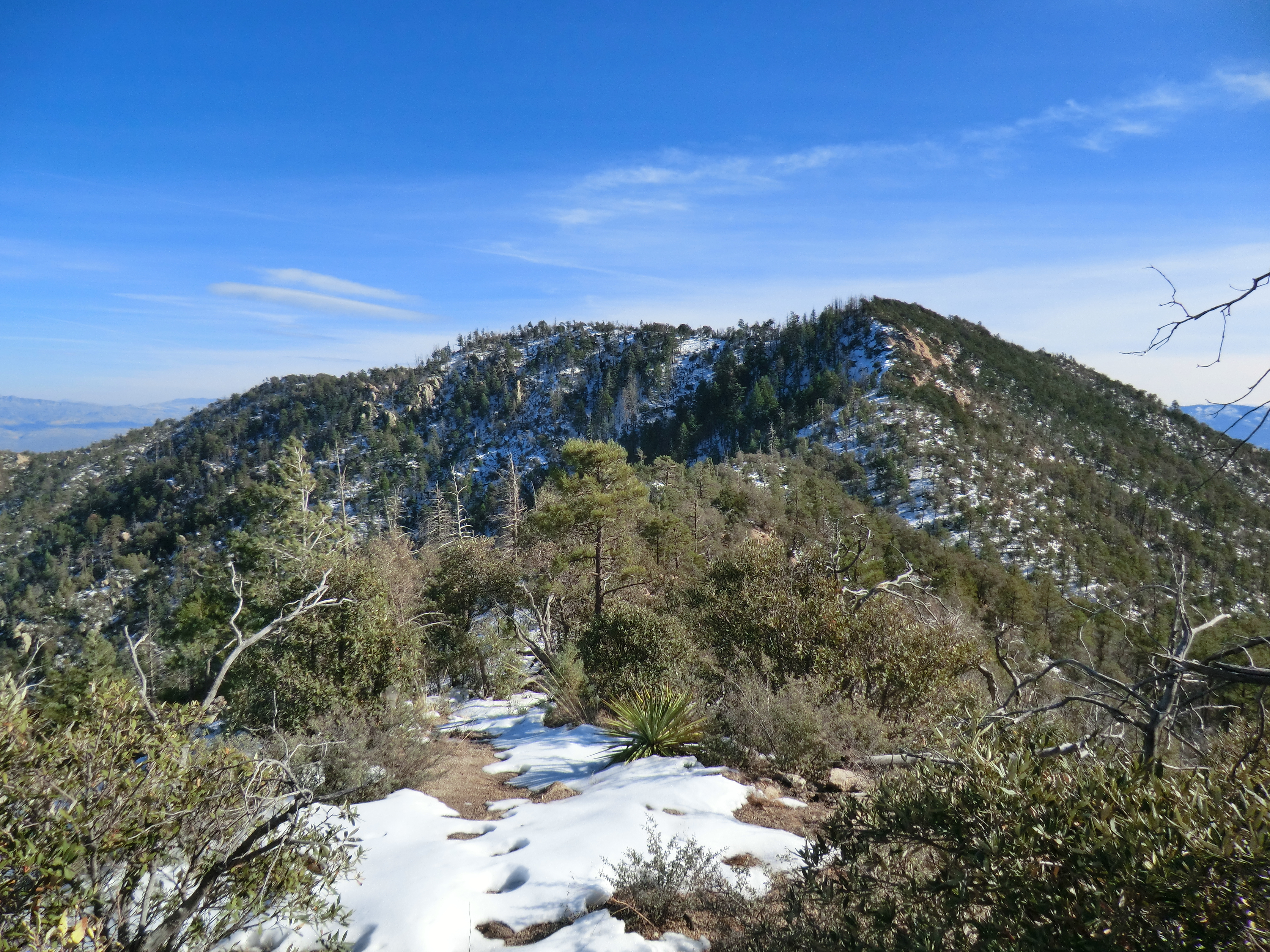
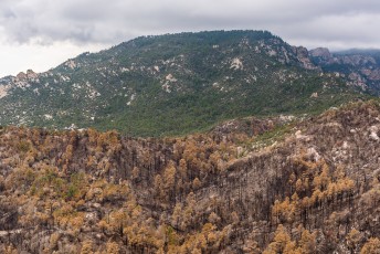
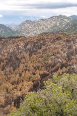
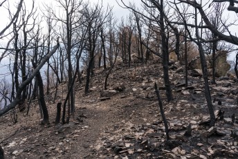
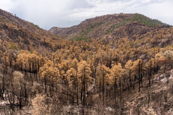
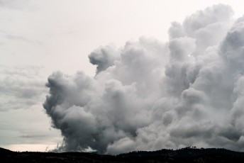
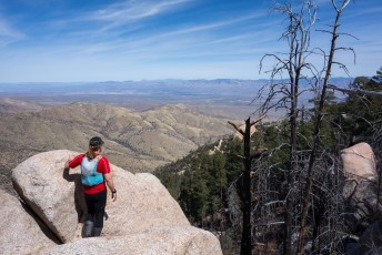
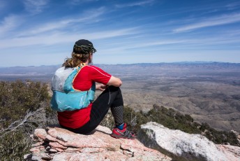
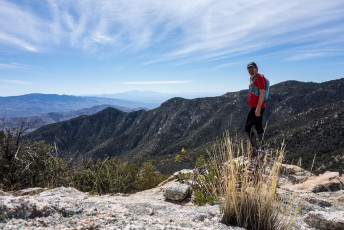
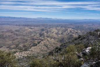
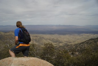
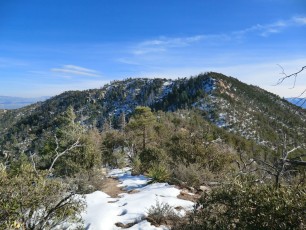
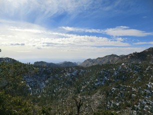
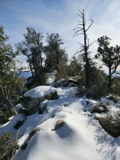
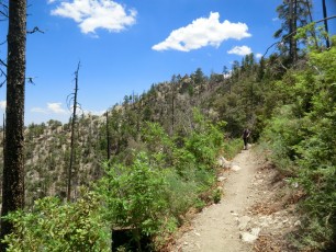
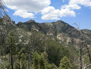
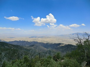
Until 2017 the summit, and slopes, of Guthrie Mountain were covered with trees. In July of 2017 the Burro Fire burned 27,000 acres in the Santa Catalina Mountains including the Guthrie Mountain. While the summit has changed, and it will be many years before it is again covered in trees, the views are still amazing and it is still well worth a visit!!
An interesting detail for anyone who loves trivia is that there are several interpretations of where the summit of Guthrie Mountain actually is…
Hike Stats
- Out and Back
- 6.2 miles
- 2,000' Elevation Gain
- 2,000' Elevation Loss
- Highest Elevation: 7,400'
- Lowest Elevation: 6,600'
Location
- General Hitchcock Highway - Santa Catalina Mountains, north of Tucson, Arizona.
- Start/End: Upper Green Mountain Trailhead (Mid Highway Hikes)
Details
- Fee: No
- Dogs: Yes
- Bikes: Yes
Drive
- 31.1 miles from Speedway and Campbell
- 1 Hour from Speedway and Campbell
- Vehicle Access: Paved Roads/Passenger Car (Mountain Road - be careful of weather conditions!)
Guthrie Mountain Elevation Profile
Driving Directions
Suggested driving directions from the Speedway and Campbell intersection in Tucson to the Upper Green Mountain Trailhead:
- Drive East on Speedway (5.0 miles)
- Left on Wilmot and continue on Tanque Verde (4.3 miles)
- Left on Catalina Highway (21.7 miles)
- Signs will help you find the turn into this trailhead.
Google Maps Directions from the Speedway and Campbell intersection in Tucson to Upper Green Mountain Trailhead.
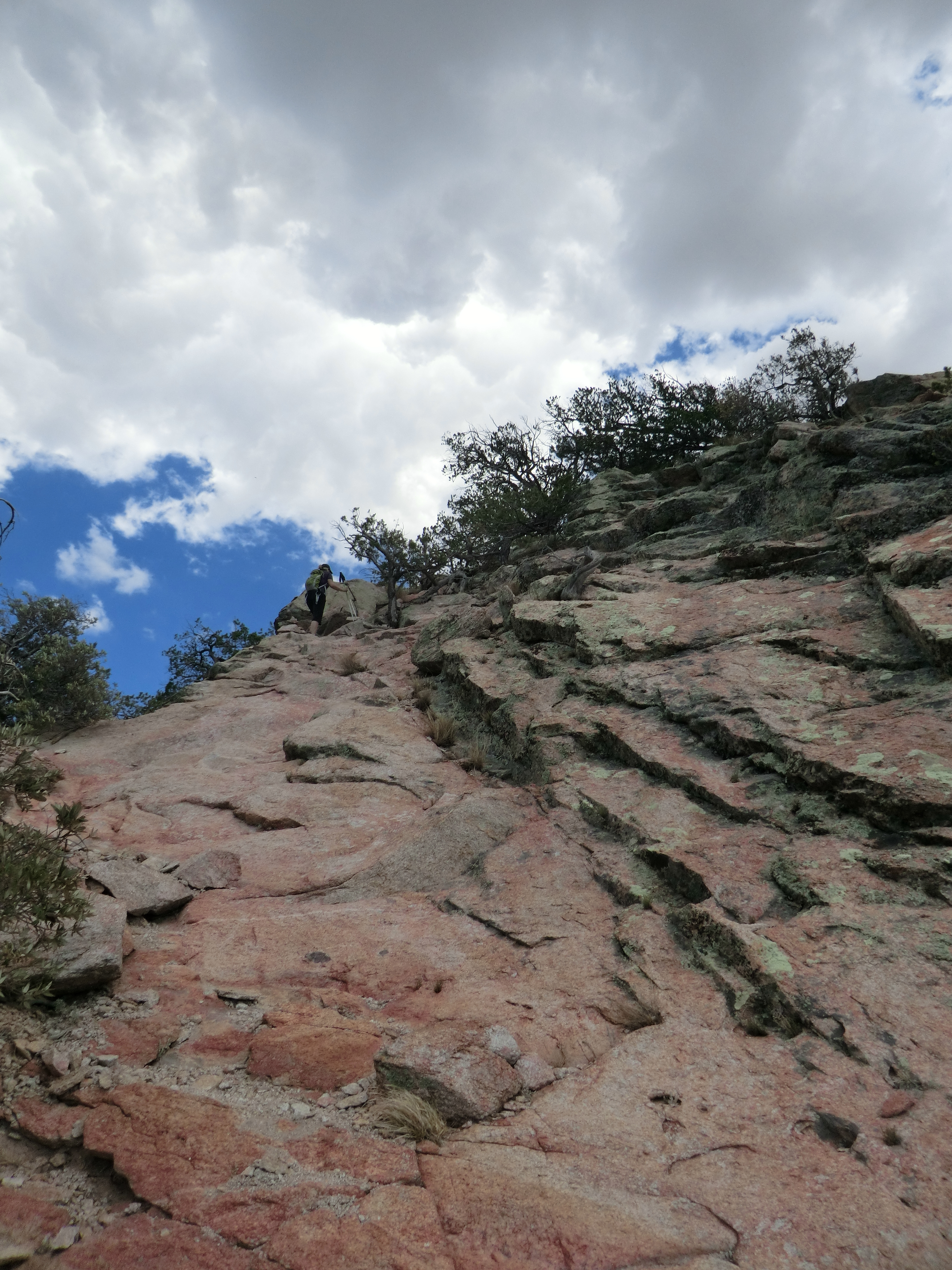
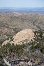
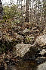
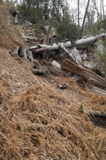
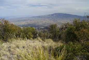
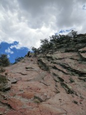
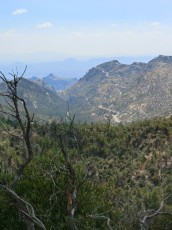
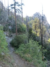
Right: Looking down into Burro Creek from the slopes of Guthrie Mountain. July 2017.
Trail Notes
The hike described below will NOT take you to the peak marked as Guthrie Mountain on the USGS Topo Maps – it takes you to Point 7281′ which is more commonly referred to as Guthrie Mountain – notes below explain why…
This description leaves from the Upper Green Mountain Trailhead – starting from this trailhead provides access to a number of interesting possible side trips on the way to Guthrie Mountain. You can also reach the Guthrie Mountain Trail from the Lower Green Mountain Trailhead via the Green Mountain Trail.
[CueListWarning/]
- 0.0 miles, 7300′: Park at the Upper Green Mountain Trailhead [Waypoint UGM TH].
- Take the Green Mountain Trail up to a small saddle and then down the other side (careful of the social trails/routes at the saddle).
- 0.2 miles, 7300′: At an unsigned junction near a large/prominent rock formation take a right (a left will take you to San Pedro Vista) [Waypoint J UGMTH].
- 0.3 miles, 7200′: At the signed (both old and new style signs!) junction with the Brush Corral Trail take a right to stay on the Green Mountain Trail [Waypoint J GM BC].
- 1.5 miles, 6600′: Stay right at the signed junction with the Brush Corral Shortcut Trail [Waypoint J GM BCS].
- 1.9 miles, 6800′: Stay right at the signed junction with the Maverick Spring Trail [Waypoint J GM MS]
- 2.1 miles, 6900′: Bear Saddle – leave the Green Mountain Trail to the left for the (signed) Guthrie Mountain Trail #704A [Waypoint J GM GuM].
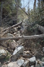
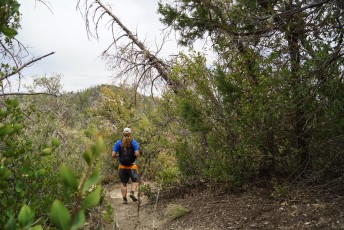
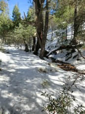
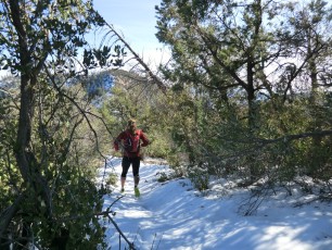
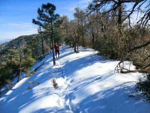
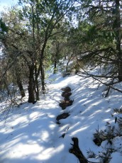
- The trail gradually takes you into areas burned in the Burro Fire – the trail may be harder to find in the burned area as you make your way out across the ridge.
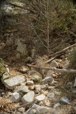
- 2.8 miles, 7200′: The trail climbs a short, steep, rocky section [Waypoint GuM01]
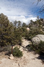
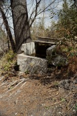
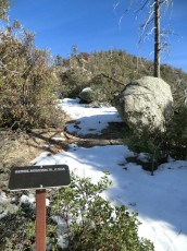
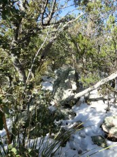
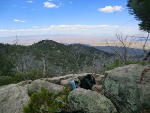
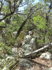
- As you make your way along the trail look for a rock visible from the trail with a faint path up to it – there is a summit register here (picture of the Summit Register rock) [Waypoint GuM02]
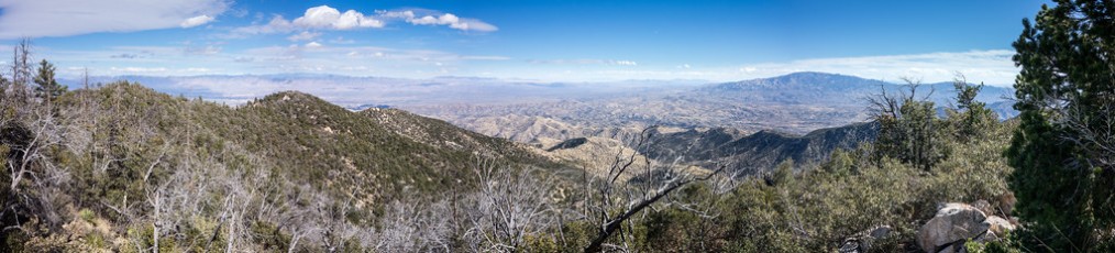
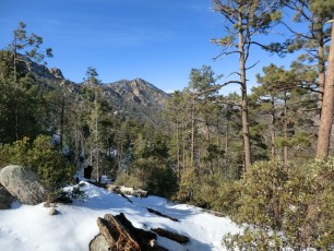
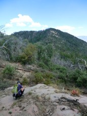
- 3.0 Miles, 7200′: The trail ends [Waypoint GuM03] – the end of the trail used to be a notable view point, but the Burro Fire cleared the summit and there are now views from quite a few places on/near the summit.
- Return the way you came – perhaps exploring the Maverick Spring Trail or the Brush Corral and Brush Corral Shortcut Trail loop on the way back up.
There are three different Guthrie Mountains in the Santa Catalina Mountains:
- Point 7281′: The ending of the hike described above.
- USGS Guthrie Mountain: The Guthrie Mountain label on the USGS Topos attached to a 6466′ peak on the east ridge of Molino Canyon.
- SAHC Eastern Star: A star on the SAHC Santa Catalina Mountains Map east of Point 7281′ and connected by a dotted route line – considered the ‘summit’ by one of the authors of the [GuideYellowBook/].
The hike described above goes to Point 7281′ which is, in my opinion, the ‘true’ Guthrie Mountain. Point 7281′ is highest of the three points, the most obvious peak in the area and the end of the Guthrie Mountain Trail. From the 3rd edition of the [GuideYellowBook/], p. 75:
Guthrie Mountain was named for an early forest supervisor in the southwest and is located on the U.S.G.S. quadrangle map as a 6464-foot-high point on the ridge just east of Molino Canyon. It is the opinion of the authors that this is an error and that Guthrie Mountain is the prominent 7300-foot-high point just north of Burro Canyon and about a mile southeast of Bear Saddle.
In “A brush with Old Guthrie Mountain” (Arizona Daily Star, May 4, 1978) Pete Cowgill talks about the ‘new’ SAHC Maps where Guthrie Mountain was moved from Point 6466′ (USGS Guthrie Mountain – ‘old Guthrie Mountain’ in the article) to Point 7281′. The 1978 article begins “There is hardly a more brushy hike in the Santa Catalina Mountains than to the top of old Guthrie Mountain” – still largely true today… While both the SAHC Eastern Star and the USGS Guthrie Mountain are interesting to visit (once anyway…) be aware that both are off-trail adventures.
Guthrie Mountain is named for John Dennett Guthrie who was a Forest Supervisor in Arizona from 1908 to 1917, served in WWI and authored and edited a number of books including a collection of poems and songs called The Forest Ranger And Other Verse.


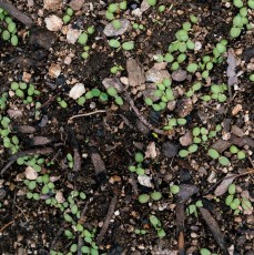
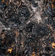
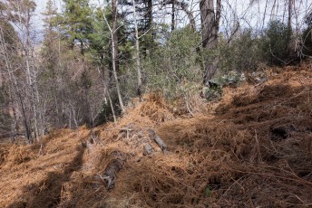
Right: Small green leaves on the slopes of Guthrie Mountain just weeks after it burned in the 2017 Burro Fire. July 2017.
Maps
- [MapGreenTrailsCatalina] – The Green Trails map indicates the trail to Guthrie Mountain is Unofficial/Unmaintained, however the trail has official signage, part of it is included on Forest Service maps and is as easy to follow as the other official trails in the area so it might be more fairly labeled an ‘official trail’.
- [MapSahcCatalina] – The SAHC map has a .6 mile spur to the east from Point 7281′ out to what is referred to as the ‘SAHC Eastern Star’ in the list of Guthrie Mountains found above – this spur should be considered an off-trail hike.
Resources
- HikeArizona
- summitpost.org
- Ineo Mons
- [GuideYellowBook/]
- Green Valley Hiking Club Library Notes
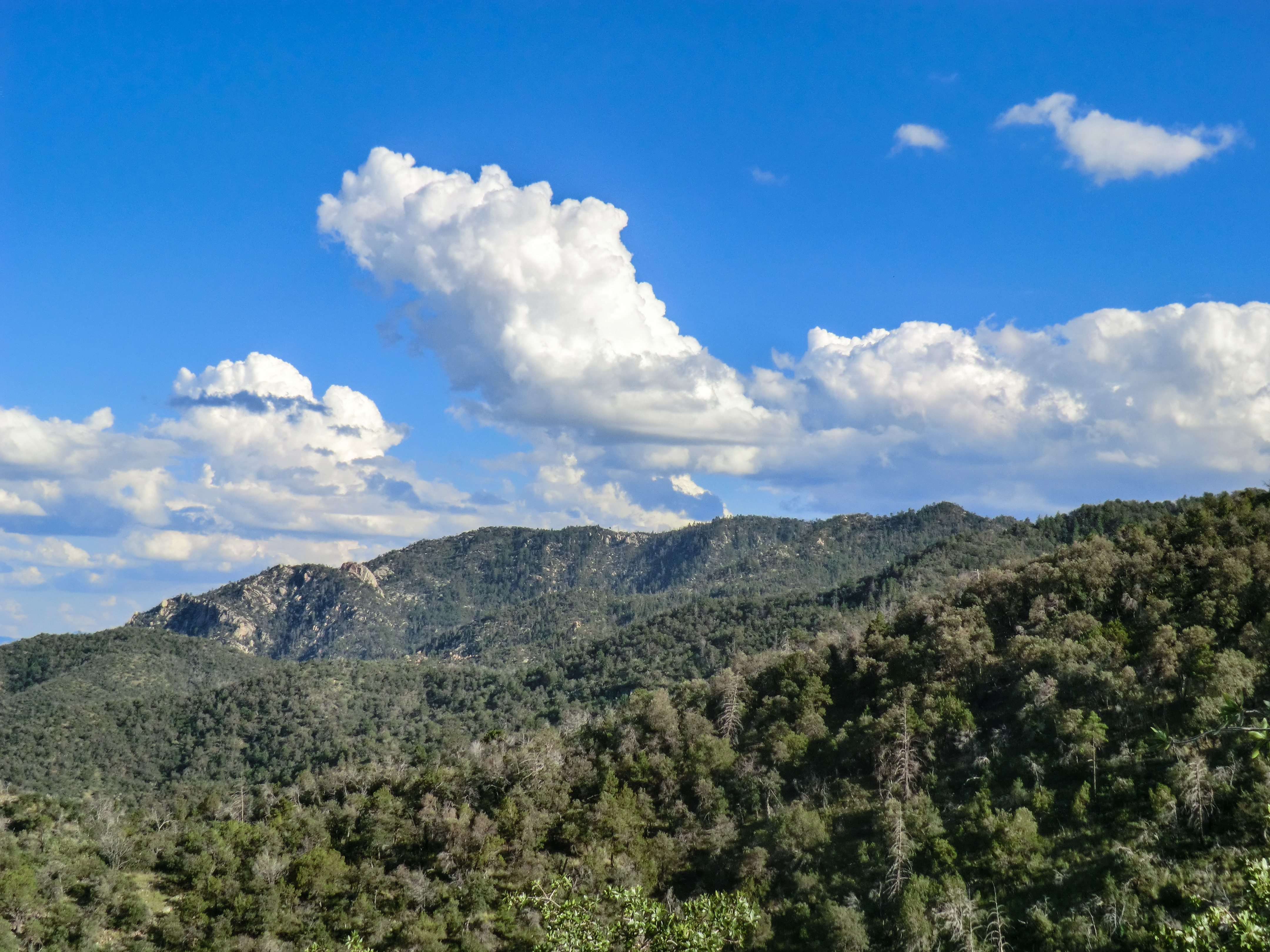
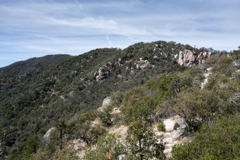
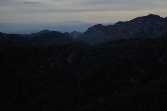
Right: Guthrie Mountain on the right - from the Knagge Trail. Pre-Burro Fire. September 2013.
Pictures
2017 July Guthrie Mountain Post Burro Fire

2014 March Guthrie Ridge to Point 6925 and Maverick Spring
2014 February Guthrie Mountain
2013 March Maverick Spring and Guthrie Mountain
2012 December Guthrie Mountain
2012 June Guthrie Mountain
Update Notes
- 2017/8/17 – Add HikeLemmon posts to resources
- 2017/8/5 – Added a link to the Green Valley Hiking Club Library notes on Guthrie Mountain and John D Guthrie, small update on the text about John D Guthrie, layout picture change to the pre-Burro Fire pictures
- 2017/8/2 – Add more/improved information on the various ‘Guthrie Mountains’ in the Santa Catalina Mountains including info from the 1978 AZ Daily Star Article, added a small bit of info about John D Guthrie
- 2017/8/1 – Update trail information for the Burro Fire, add new pictures showing post-fire conditions, rework text, fix image caption, Img Srcset update, new flickr set added
- 2014/7/18 – Format update.
- 2014/3/24 – Updated to WordPress, updated format, added new map information, revised hiking info, added new picture sets.